Human Settlement - Varanasi
27
HUMAN SETTLEMENT THE STORY OF VARANASI • - ONAL KOTHARI
-
Upload
onal-kothari -
Category
Education
-
view
920 -
download
8
Transcript of Human Settlement - Varanasi
HUMAN SETTLEMENT
THE STORY OF VARANASI • - ONAL KOTHARI
HUMAN SETTLEMENT ?
Though we use this term very frequently, but when it comes for defining, it is very difficult to give a clear cut definition.
For most of the human history , MIGRATION ! REVOLUTION !! EVOLUTION !!
ARE THE BIG TURNOVERS FOR ORIGIN AND TURNING OF A VIRGIN LAND INTO SETTLED TERRITORY !
A HUMAN SETTLEMENT IS AN ORGANIZED GROUPING OF HUMAN HABITATION. IT IS WE LIVING WITH OTHER PEOPLE.. ranges from a single dowelling to large city.
OR we can say settlement is a process of grouping of people and acquiring of some territory to build houses as well as for their economic support
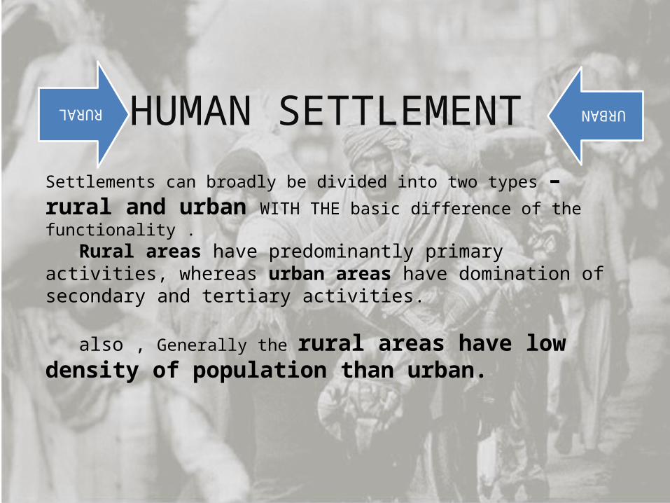
HUMAN SETTLEMENT RURAL URBAN
Settlements can broadly be divided into two types – rural and urban WITH THE basic difference of the functionality .
Rural areas have predominantly primary activities, whereas urban areas have domination of secondary and tertiary activities.
also , Generally the rural areas have low density of population than urban.
And the Migration Occur..
Most of the people in history led a nomadic life… hunting animals and gathering edible plants for food.
The first pre-condition for urban development is a favourable ecology climate change at the end of the Ice Age led to the receding of glaciers, people congregated in warm regions with fertile soil.
The second precondition for sedentary life is the avail ability of food at the place of settlement.
To satisfy this condition, human beings learnt the art of cultivating crops and also domesticating animals for their own benefit, whereas hunting and gathering demanded continual movement, raising food required people to remain at one place. thee
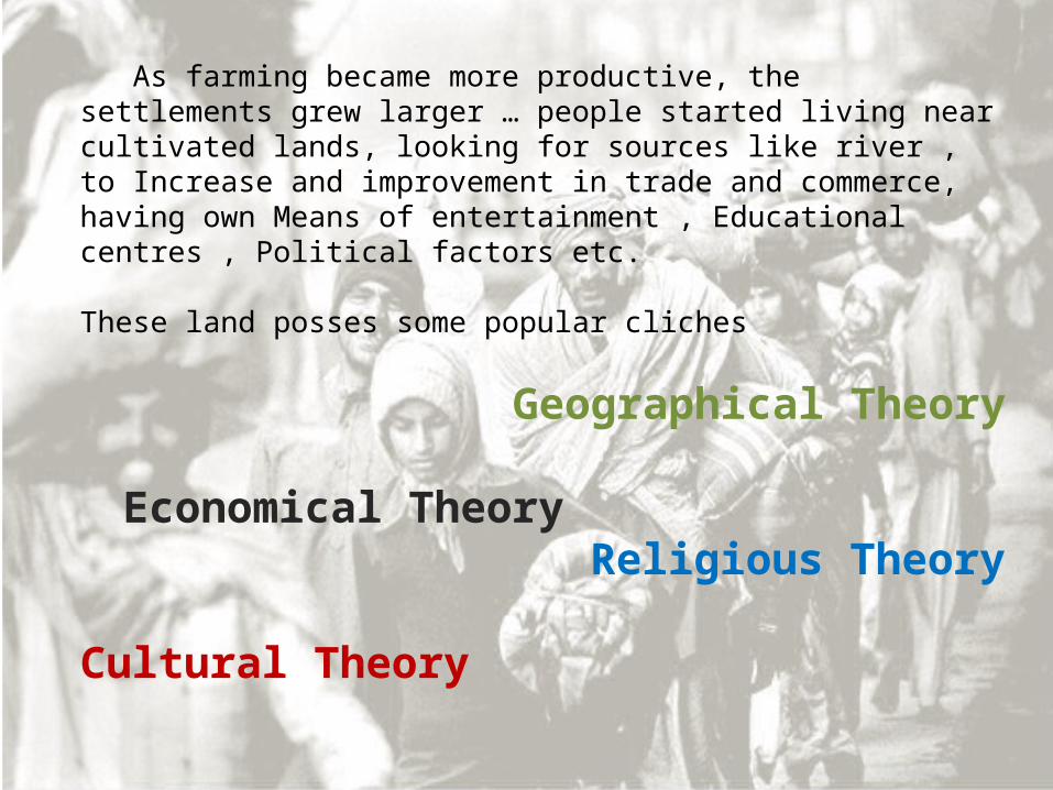
As farming became more productive, the settlements grew larger … people started living near cultivated lands, looking for sources like river , to Increase and improvement in trade and commerce, having own Means of entertainment , Educational centres , Political factors etc.
These land posses some popular cliches
Geographical Theory Economical Theory Religious Theory
Cultural Theory
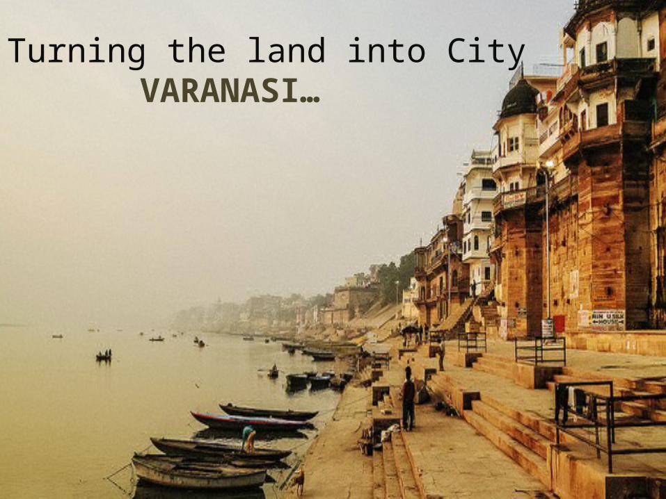
Turning the land into City VARANASI…
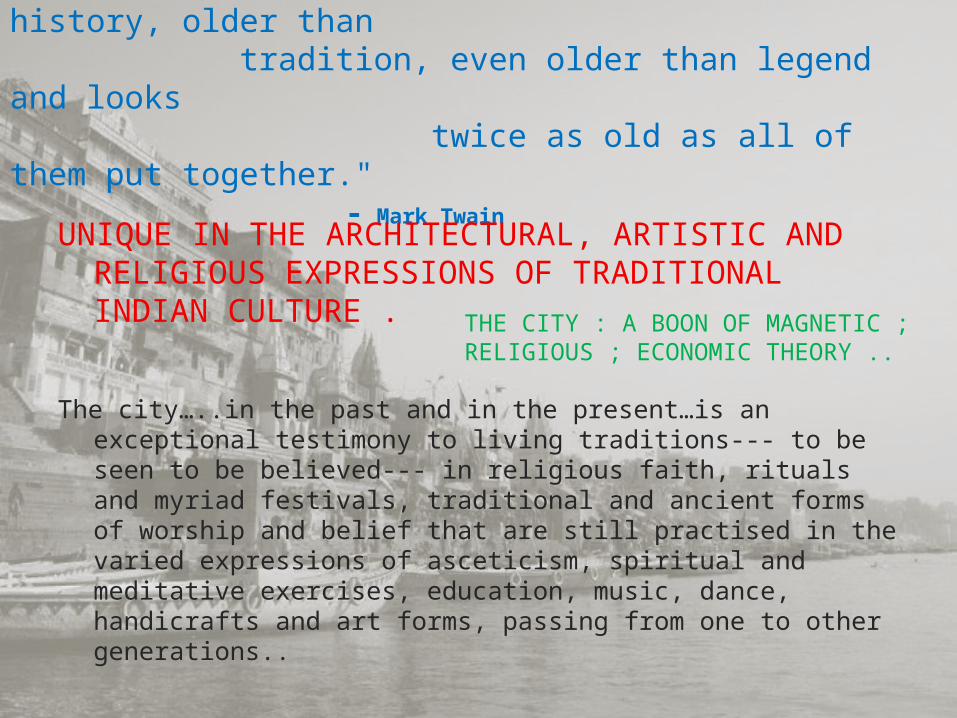
"Varanasi is older than history, older than tradition, even older than legend and looks twice as old as all of them put together."
- Mark Twain
UNIQUE IN THE ARCHITECTURAL, ARTISTIC AND RELIGIOUS EXPRESSIONS OF TRADITIONAL INDIAN CULTURE .
The city…..in the past and in the present…is an exceptional testimony to living traditions--- to be seen to be believed--- in religious faith, rituals and myriad festivals, traditional and ancient forms of worship and belief that are still practised in the varied expressions of asceticism, spiritual and meditative exercises, education, music, dance, handicrafts and art forms, passing from one to other generations..
THE CITY : A BOON OF MAGNETIC ; RELIGIOUS ; ECONOMIC THEORY ..
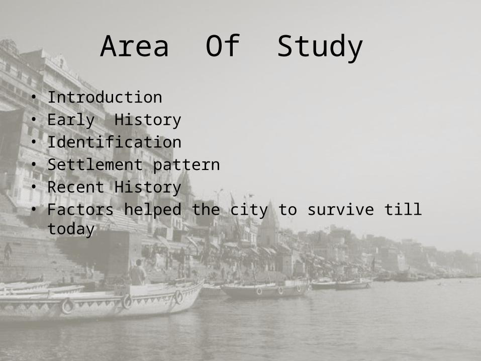
Area Of Study • Introduction• Early History • Identification• Settlement pattern • Recent History• Factors helped the city to survive till today
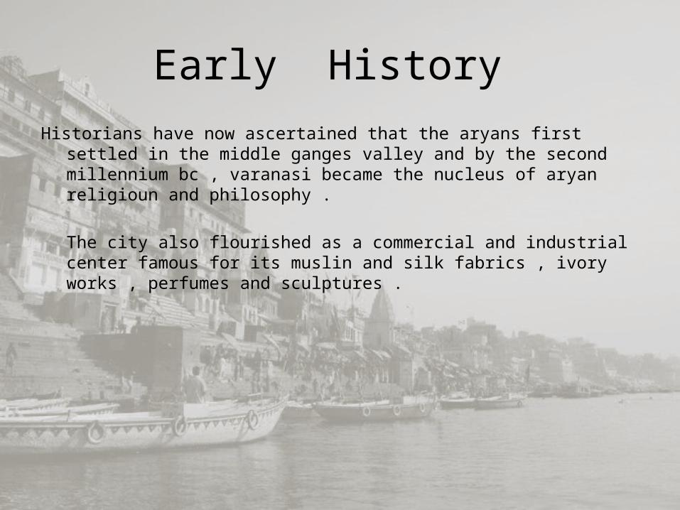
Early History Historians have now ascertained that the aryans first settled in the
middle ganges valley and by the second millennium bc , varanasi became the nucleus of aryan religioun and philosophy .
The city also flourished as a commercial and industrial center famous for its muslin and silk fabrics , ivory works , perfumes and sculptures .
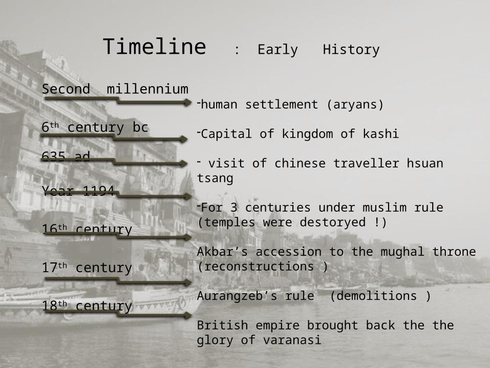
Timeline : Early History
Second millennium
6th century bc
635 ad
Year 1194
16th century
17th century
18th century
-human settlement (aryans)
-Capital of kingdom of kashi
- visit of chinese traveller hsuan tsang
-For 3 centuries under muslim rule (temples were destoryed !)
Akbar’s accession to the mughal throne (reconstructions )
Aurangzeb’s rule (demolitions )
British empire brought back the the glory of varanasi
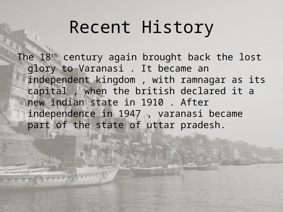
Recent HistoryThe 18th century again brought back the lost glory
to Varanasi . It became an independent kingdom , with ramnagar as its capital , when the british declared it a new indian state in 1910 . After independence in 1947 , varanasi became part of the state of uttar pradesh.
Factors helped the city to survive till today
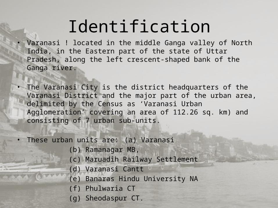
Identification• Varanasi ! located in the middle Ganga valley of North India, in the
Eastern part of the state of Uttar Pradesh, along the left crescent-shaped bank of the Ganga river.
• The Varanasi City is the district headquarters of the Varanasi District and the major part of the urban area, delimited by the Census as ‘Varanasi Urban Agglomeration’ covering an area of 112.26 sq. km) and consisting of 7 urban sub-units.
• These urban units are: (a) Varanasi(b) Ramanagar MB, (c) Maruadih Railway Settlement (d) Varanasi Cantt(e) Banaras Hindu University NA(f) Phulwaria CT(g) Sheodaspur CT.
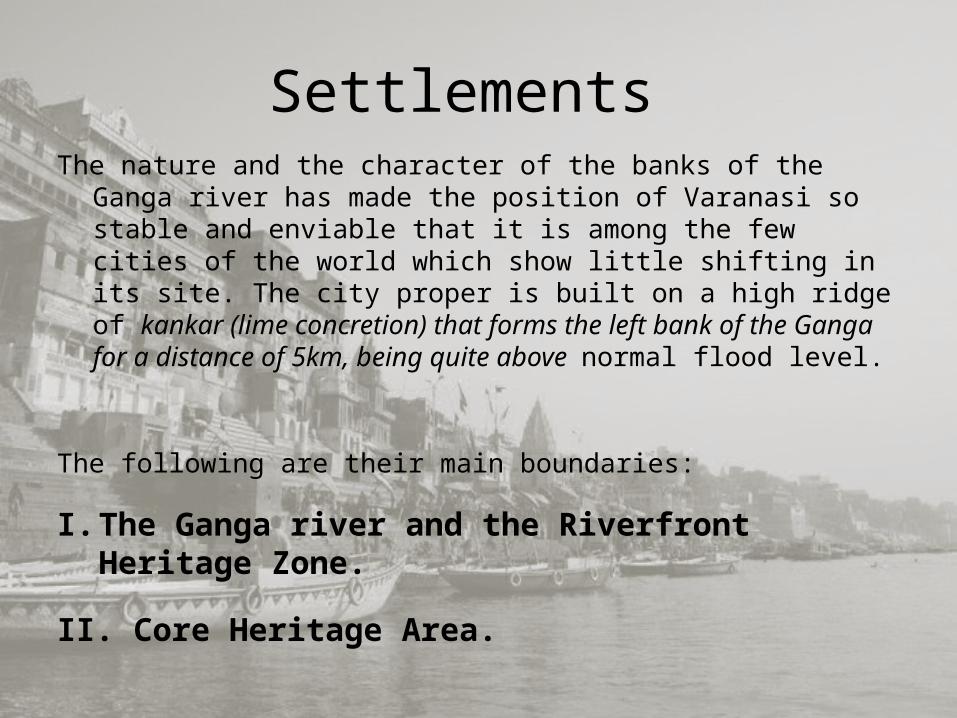
Settlements The nature and the character of the banks of the Ganga river
has made the position of Varanasi so stable and enviable that it is among the few cities of the world which show little shifting in its site. The city proper is built on a high ridge of kankar (lime concretion) that forms the left bank of the Ganga for a distance of 5km, being quite above normal flood level.
The following are their main boundaries:
I. The Ganga river and the Riverfront Heritage Zone.
II. Core Heritage Area.
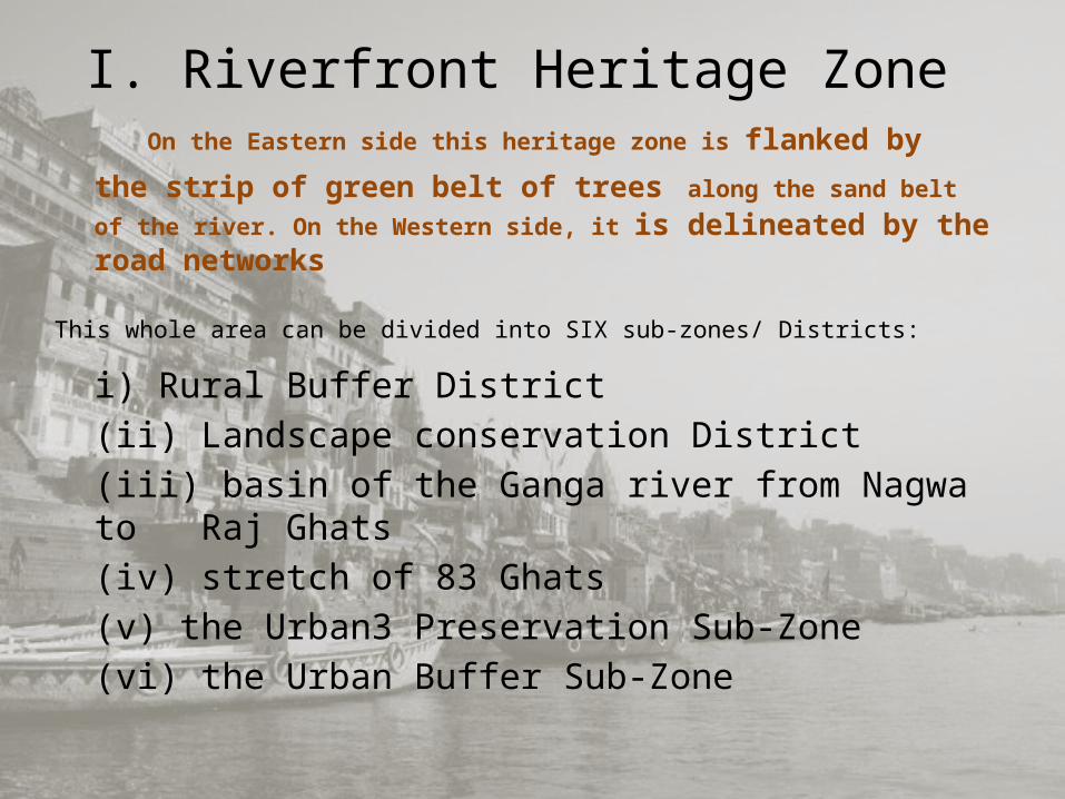
I. Riverfront Heritage Zone On the Eastern side this heritage zone is flanked by
the strip of green belt of trees along the sand belt of the river. On the Western side, it is delineated by the road networks
This whole area can be divided into SIX sub-zones/ Districts:
i) Rural Buffer District(ii) Landscape conservation District(iii) basin of the Ganga river from Nagwa to Raj Ghats(iv) stretch of 83 Ghats(v) the Urban3 Preservation Sub-Zone(vi) the Urban Buffer Sub-Zone
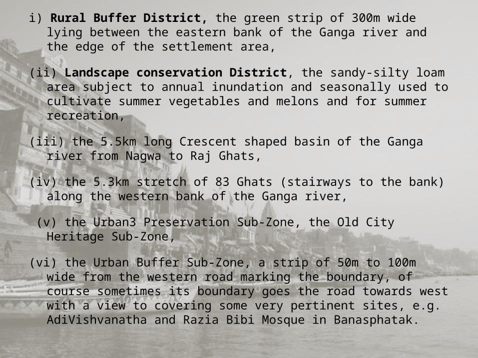
i) Rural Buffer District, the green strip of 300m wide lying between the eastern bank of the Ganga river and the edge of the settlement area,
(ii) Landscape conservation District, the sandy-silty loam area subject to annual inundation and seasonally used to cultivate summer vegetables and melons and for summer recreation,
(iii) the 5.5km long Crescent shaped basin of the Ganga river from Nagwa to Raj Ghats,
(iv) the 5.3km stretch of 83 Ghats (stairways to the bank) along the western bank of the Ganga river,
(v) the Urban3 Preservation Sub-Zone, the Old City Heritage Sub-Zone,
(vi) the Urban Buffer Sub-Zone, a strip of 50m to 100m wide from the western road marking the boundary, of course sometimes its boundary goes the road towards west with a view to covering some very pertinent sites, e.g. AdiVishvanatha and Razia Bibi Mosque in Banasphatak.
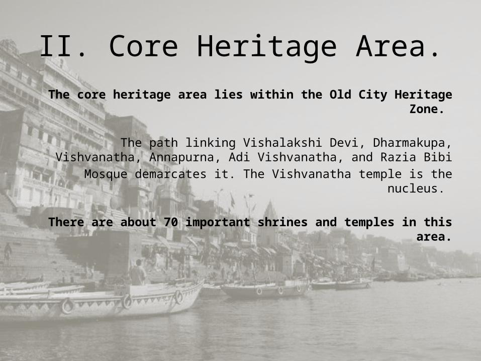
II. Core Heritage Area.The core heritage area lies within the Old City Heritage Zone.
The path linking Vishalakshi Devi, Dharmakupa, Vishvanatha, Annapurna, Adi Vishvanatha, and Razia Bibi
Mosque demarcates it. The Vishvanatha temple is the nucleus.
There are about 70 important shrines and temples in this area.
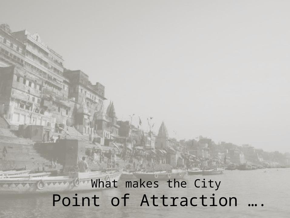
What makes the City Point of Attraction ….
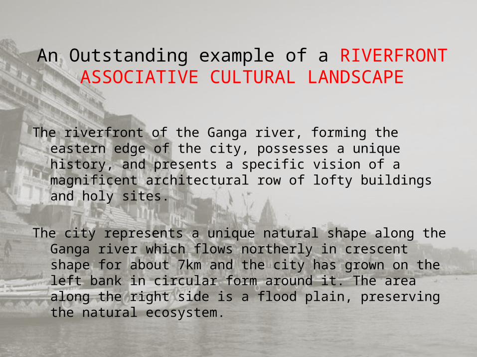
An Outstanding example of a RIVERFRONT ASSOCIATIVE CULTURAL LANDSCAPE
The riverfront of the Ganga river, forming the eastern edge of the city, possesses a unique history, and presents a specific vision of a magnificent architectural row of lofty buildings and holy sites.
The city represents a unique natural shape along the Ganga river which flows northerly in crescent shape for about 7km and the city has grown on the left bank in circular form around it. The area along the right side is a flood plain, preserving the natural ecosystem.
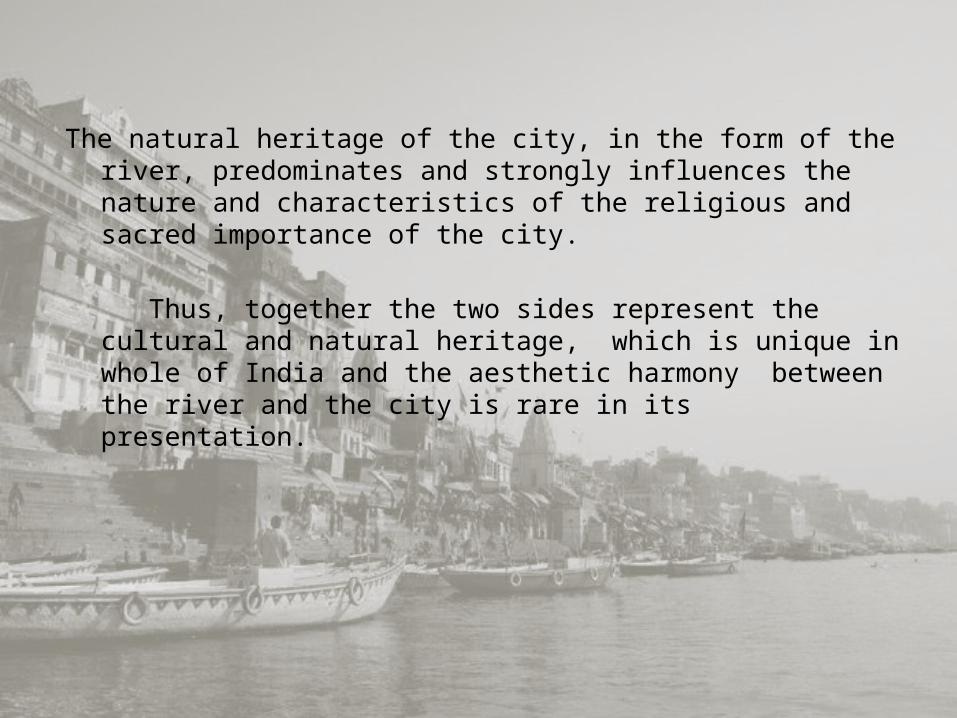
The natural heritage of the city, in the form of the river, predominates and strongly influences the nature and characteristics of the religious and sacred importance of the city.
Thus, together the two sides represent the cultural and natural heritage, which is unique in whole of India and the aesthetic harmony between the river and the city is rare in its presentation.
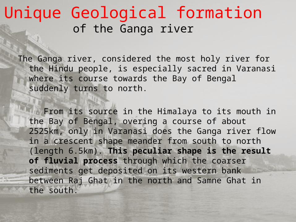
Unique Geological formation of the Ganga river
The Ganga river, considered the most holy river for the Hindu people, is especially sacred in Varanasi where its course towards the Bay of Bengal suddenly turns to north.
From its source in the Himalaya to its mouth in the Bay of Bengal, overing a course of about 2525km, only in Varanasi does the Ganga river flow in a crescent shape meander from south to north (length 6.5km). This peculiar shape is the result of fluvial process through which the coarser sediments get deposited on its western bank between Raj Ghat in the north and Samne Ghat in the south.
The portion between these two points a hillock-like geologic feature, called natural levée, consists of nearly 60m bed of clay with coarse grained sand, limestone concretion and gravel.
This peculiar geological formation changes the flow of the Ganga in a half-circular shape. This sharp-bend meander is only observed in Varanasi throughout its course.
This unique geological formation has provided the base for the growth of the city in a crescent shape, symbolically described as crescent moon on the forehead of Lord Shiva.
In terms of river ecology, this characteristic is also considered as the unique aspect of energy quantum and direction of the energy flow. In fact, this whole bed of the Ganga river is an example of natural heritage.
Religious unity Varanasi ! This sacred place maintain religious characteristics that result into making hindu – muslim intergration and harmonious coexistence.
From temples to mazars the place develop religious harmony . In varanasi alone , there are 3,000 hindu shrines and temples , about 1,400 muslim shrines and mosques , three jain temples , 12 churches , nine buddhist temples , 3 sikh gurudwaras and several other sacred sites and places.
This is the only place in the world where such a huge number of hindu and muslim sacred places co-exist.
Combining the Spiritual & the Material
In comparison to cities of its size is a balanced multifunctional city with six sporadic industrial areas at Ramanagar, Chandpur, DLW, Lahartara, Lohta and Shivpur.
The urban morphology of the city shows a complex pattern where traditions are maintained and modernity is introduced often in a discordant way.
The site areas that are the highest in the density of religious heritage properties are also the highest in the density of commercial wholesale and retail outlets.
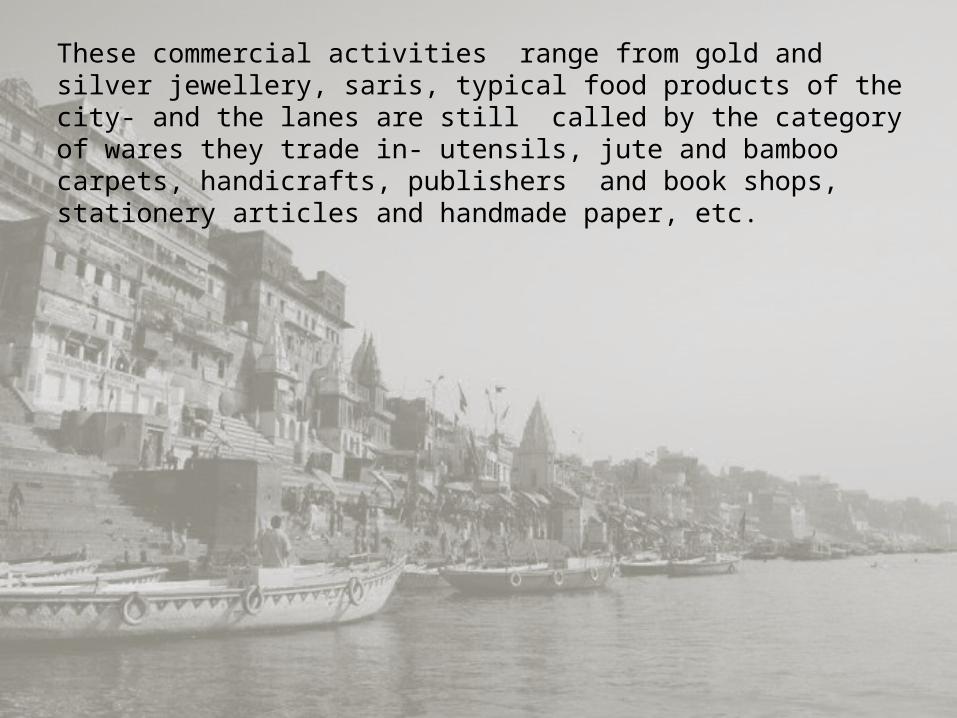
These commercial activities range from gold and silver jewellery, saris, typical food products of the city- and the lanes are still called by the category of wares they trade in- utensils, jute and bamboo carpets, handicrafts, publishers and book shops, stationery articles and handmade paper, etc.