“Honest GIS”: Error and Uncertainty. Blinded by Science? Result of “accurate” scientific...
38
“Honest GIS”: Error and Uncertainty
-
Upload
candace-moody -
Category
Documents
-
view
216 -
download
3
Transcript of “Honest GIS”: Error and Uncertainty. Blinded by Science? Result of “accurate” scientific...
“Honest GIS”:Error and Uncertainty
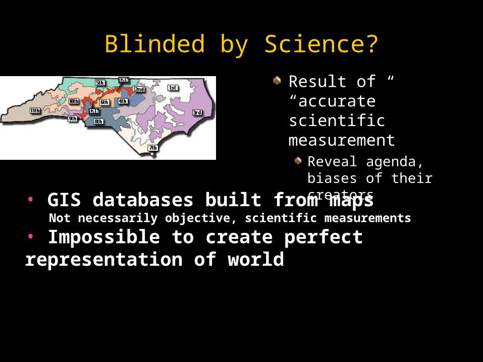
Blinded by Science?
Result of “accurate” Result of “accurate” scientific scientific measurementmeasurement
Reveal agenda, Reveal agenda, biases of their biases of their creatorscreators
• GIS databases built from mapsNot necessarily objective, scientific measurements
• Impossible to create perfect representation of world
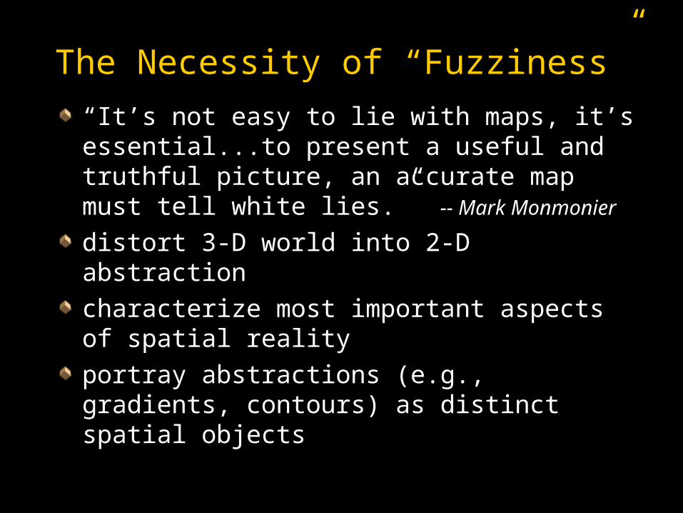
The Necessity of “Fuzziness”
““It’s not easy to lie with maps, it’s It’s not easy to lie with maps, it’s essential...to present a useful and essential...to present a useful and truthful picture, an accurate map must truthful picture, an accurate map must tell white lies.” tell white lies.” -- Mark Monmonier-- Mark Monmonier
distort 3-D world into 2-D abstractiondistort 3-D world into 2-D abstraction
characterize most important aspects of characterize most important aspects of spatial realityspatial reality
portray abstractions (e.g., gradients, portray abstractions (e.g., gradients, contours) as distinct spatial objectscontours) as distinct spatial objects

Fuzziness (cont.)
All GIS subject to uncertaintyAll GIS subject to uncertainty
What the data tell us about the real worldWhat the data tell us about the real world
Range of possible “truths”Range of possible “truths”
Uncertainty affects results of analysisUncertainty affects results of analysis
Confidence limits - “plus or minus”Confidence limits - “plus or minus”Difficult to determineDifficult to determine
““If it comes from a computer it must be If it comes from a computer it must be wrightwright””

Longley et al., chapter 6
A Conceptual View of Uncertainty (U)

Longley et al., ch. 9, p. 208
Digitizing Errors
Longley et al., ch. 9, p. 209
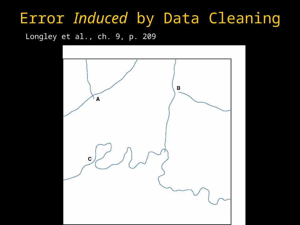
Error Induced by Data Cleaning

Longley et al., ch. 9, p. 209
Yikes Rubbersheeting Needed!
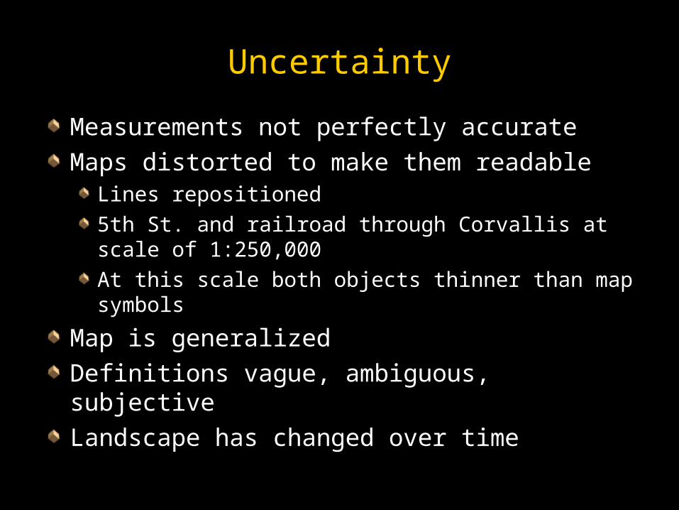
Uncertainty
Measurements not perfectly accurateMeasurements not perfectly accurate
Maps distorted to make them readableMaps distorted to make them readableLines repositionedLines repositioned
5th St. and railroad through Corvallis at scale 5th St. and railroad through Corvallis at scale of 1:250,000of 1:250,000
At this scale both objects thinner than map At this scale both objects thinner than map symbolssymbols
Map is generalized Map is generalized
Definitions vague, ambiguous, subjectiveDefinitions vague, ambiguous, subjective
Landscape has changed over timeLandscape has changed over time


Berry “Shadow Maps of Uncertainty”
http://dusk.geo.orst.edu/buffgis/http://dusk.geo.orst.edu/buffgis/shadow.htmlshadow.html
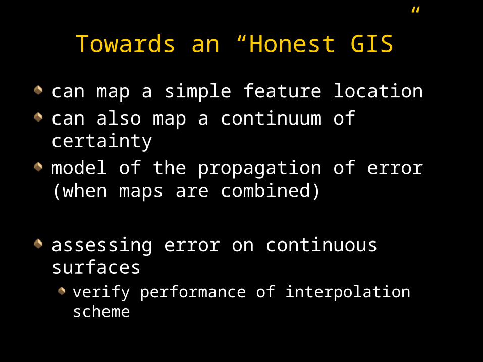
Towards an “Honest GIS”
can map a simple feature locationcan map a simple feature location
can also map a continuum of certaintycan also map a continuum of certainty
model of the propagation of error (when model of the propagation of error (when maps are combined)maps are combined)
assessing error on continuous surfacesassessing error on continuous surfacesverify performance of interpolation schemeverify performance of interpolation scheme
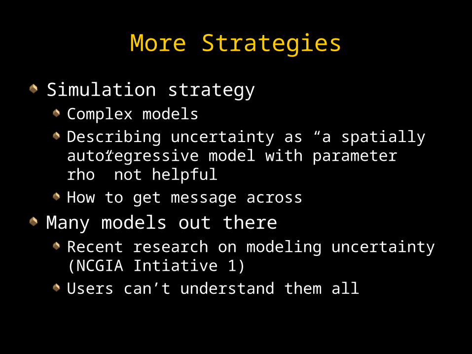
More Strategies
Simulation strategySimulation strategyComplex modelsComplex models
Describing uncertainty as “a spatially Describing uncertainty as “a spatially autoregressive model with parameter rho” not autoregressive model with parameter rho” not helpfulhelpful
How to get message acrossHow to get message across
Many models out thereMany models out thereRecent research on modeling uncertainty Recent research on modeling uncertainty (NCGIA Intiative 1)(NCGIA Intiative 1)
Users can’t understand them allUsers can’t understand them all
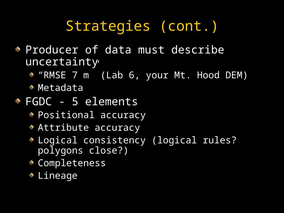
Strategies (cont.)
Producer of data must describe uncertaintyProducer of data must describe uncertainty““RMSE 7 m” (Lab 6, your Mt. Hood DEM)RMSE 7 m” (Lab 6, your Mt. Hood DEM)MetadataMetadata
FGDC - 5 elementsFGDC - 5 elementsPositional accuracyPositional accuracyAttribute accuracyAttribute accuracyLogical consistency (logical rules? polygons Logical consistency (logical rules? polygons close?)close?)CompletenessCompletenessLineageLineage
Strategies (cont.)
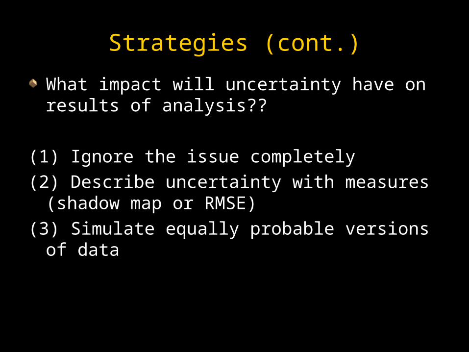
What impact will uncertainty have on results What impact will uncertainty have on results of analysis??of analysis??
(1) Ignore the issue completely(1) Ignore the issue completely
(2) Describe uncertainty with measures (2) Describe uncertainty with measures (shadow map or RMSE)(shadow map or RMSE)
(3) Simulate equally probable versions of data(3) Simulate equally probable versions of data
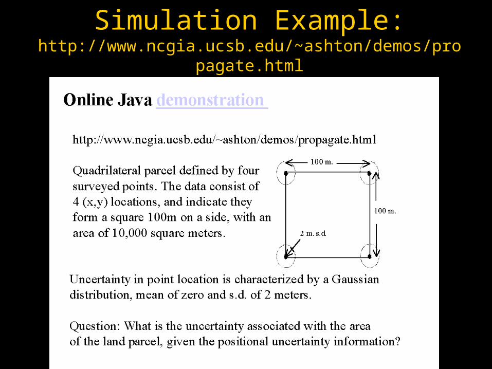
Simulation Example:http://www.ncgia.ucsb.edu/~ashton/demos/propagate.html

Geographic Data Uncertainty and Ethics
Typical users take digital data for granted, Typical users take digital data for granted, assuming their quality is high and fits the assuming their quality is high and fits the intended usageintended usage
An increasing number of incidents and An increasing number of incidents and accidents result from the inappropriate use of accidents result from the inappropriate use of geospatial datageospatial data““Erroneous, inadequately documented, or Erroneous, inadequately documented, or inappropriate data can have grave inappropriate data can have grave consequencesconsequences for individuals and the for individuals and the environment.”environment.” (AAG Geographic Information Ethics Session Description, 2009)
1919
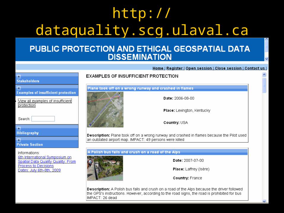
http://dataquality.scg.ulaval.ca
Geographic Data Uncertainty and Ethics
From an ethics point of view:From an ethics point of view:Poor quality data should not be used for Poor quality data should not be used for sensitive applications where it poses a risk of sensitive applications where it poses a risk of harm harm
Need appropriate safeguards to avoid the harm, Need appropriate safeguards to avoid the harm, and to provide effective warnings and to provide effective warnings
Not enough just to anticipate intended uses and Not enough just to anticipate intended uses and data quality requirements of a system. Must data quality requirements of a system. Must anticipate the anticipate the possible misuses possible misuses of the system as of the system as well well
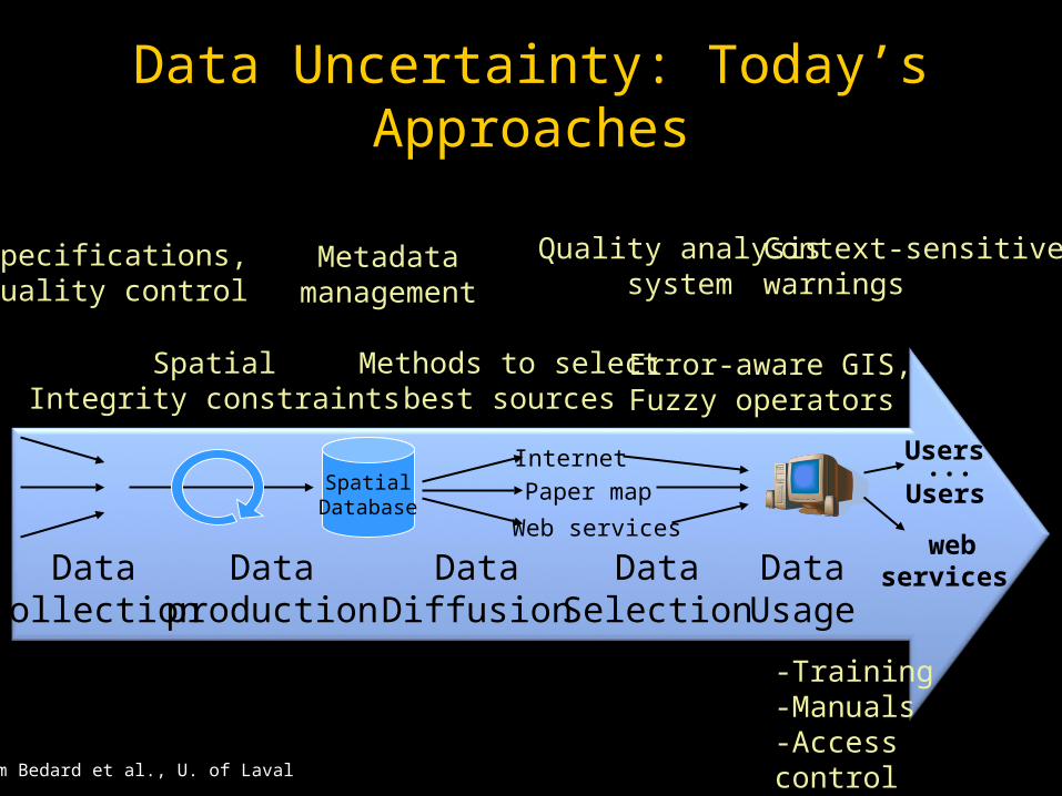
Data Uncertainty: Today’s Approaches
SpatialDatabase
Internet
DataDiffusion
Dataproduction
Datacollection
DataSelection
Paper map
Web services
DataUsage
Users
Error-aware GIS,Fuzzy operators
Quality analysissystem
Metadatamanagement
Context-sensitivewarnings
Methods to selectbest sources
SpatialIntegrity constraints
Specifications,Quality control
webservices
Users...
-Training-Manuals-Access control
from Bedard et al., U. of Laval

Data Uncertainty: today’s approaches
Victims’ approaches and reactionsDon’t buy
Never useagain…
Don’t follow
Don’tuse
from Bedard et al., U. of Laval

Data Uncertainty: today’s approaches
Ethics-related issue
Professional self-regulatory bodies have Professional self-regulatory bodies have codes of ethics contained in regulationscodes of ethics contained in regulations
These regulations are enacted by These regulations are enacted by governmentsgovernments
Professionals’ primary duty is to the public Professionals’ primary duty is to the public welfarewelfare
Data Uncertainty: today’s approaches
Ethics-related issue
Codes of ethics influence « Good Practices »Codes of ethics influence « Good Practices »Ex. professionals must care about individuals and Ex. professionals must care about individuals and environmentenvironment
« Professional misconduct » is typically set « Professional misconduct » is typically set out in regulationsout in regulations
Ex. Negligence, failure to report or remedy to a Ex. Negligence, failure to report or remedy to a danger, to protect peopledanger, to protect people
In case of lawsuits, Codes of ethics have In case of lawsuits, Codes of ethics have impactsimpacts
Data Uncertainty: today’s approaches
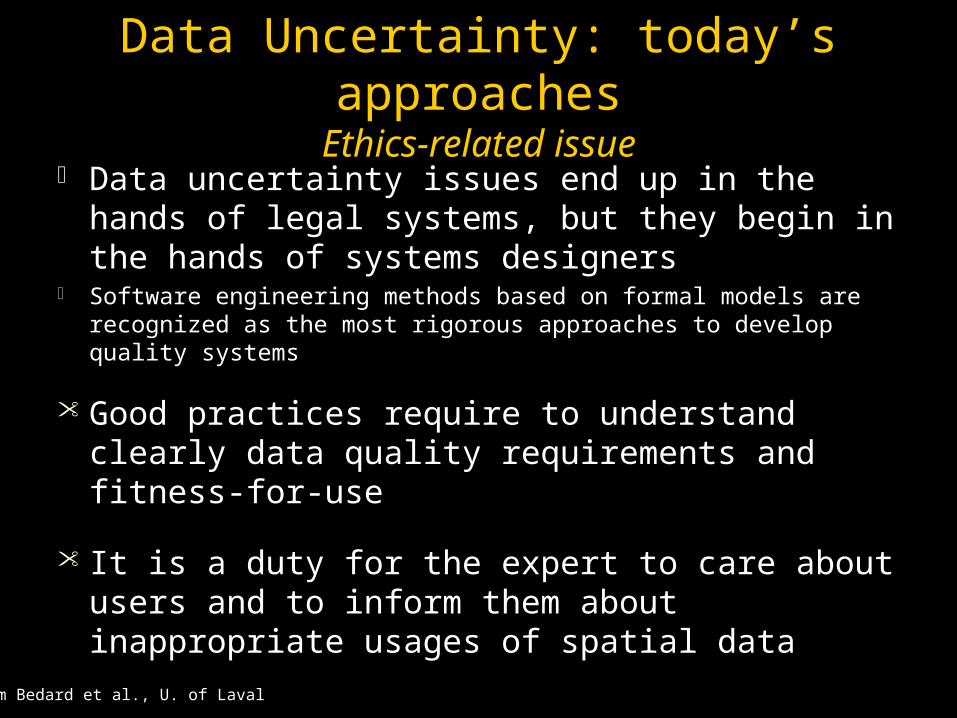
Ethics-related issue Data uncertainty issues end up in the hands Data uncertainty issues end up in the hands
of legal systems, but they begin in the hands of legal systems, but they begin in the hands of systems designersof systems designers
Software engineering methods based on formal models are Software engineering methods based on formal models are recognized as the most rigorous approaches to develop quality recognized as the most rigorous approaches to develop quality systemssystems
Good practices require to understand clearly Good practices require to understand clearly data quality requirements and fitness-for-usedata quality requirements and fitness-for-use
It is a duty for the expert to care about users It is a duty for the expert to care about users and to inform them about inappropriate and to inform them about inappropriate usages of spatial datausages of spatial data
from Bedard et al., U. of Laval
Data Uncertainty: today’s approaches
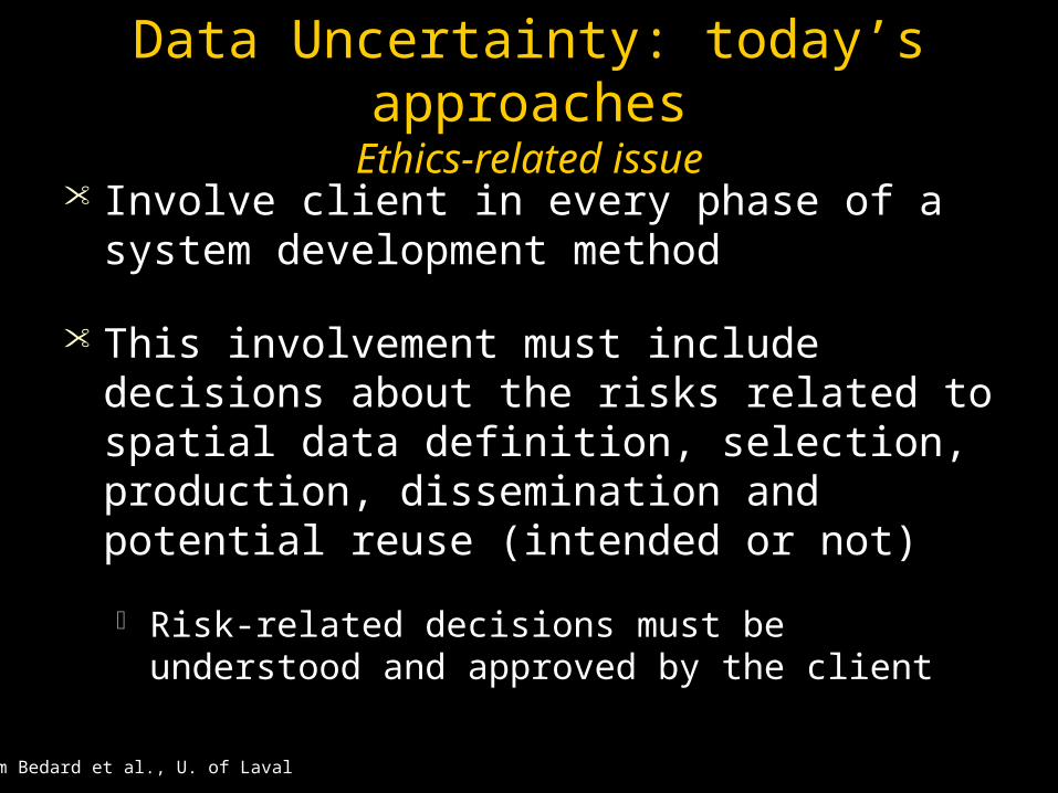
Ethics-related issue Involve client in every phase of a system Involve client in every phase of a system
development methoddevelopment method
This involvement must include decisions This involvement must include decisions about the risks related to spatial data about the risks related to spatial data definition, selection, production, definition, selection, production, dissemination and potential reuse dissemination and potential reuse (intended or not)(intended or not)
Risk-related decisions must be understood and Risk-related decisions must be understood and approved by the clientapproved by the client
from Bedard et al., U. of Laval
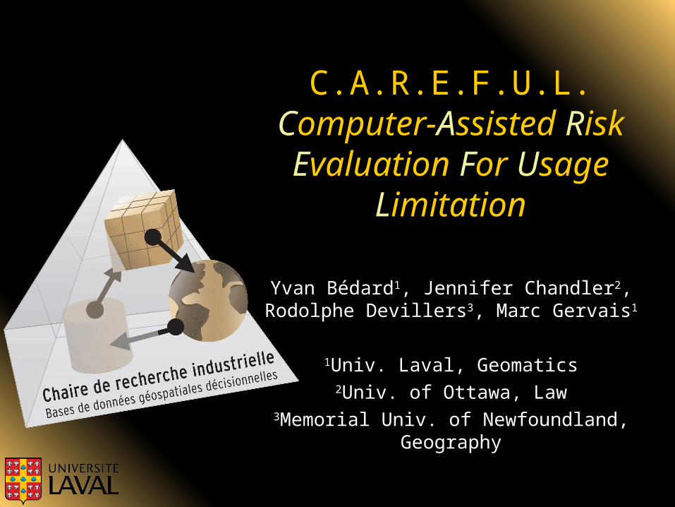
C.A.R.E.F.U.L.CComputer-AAssisted RRisk EEvaluation FFor UUsage
LLimitation
Yvan BédardYvan Bédard11, Jennifer Chandler, Jennifer Chandler22, , Rodolphe DevillersRodolphe Devillers33, Marc Gervais, Marc Gervais11
11Univ. Laval, GeomaticsUniv. Laval, Geomatics22Univ. of Ottawa, LawUniv. of Ottawa, Law
33Memorial Univ. of Newfoundland, Memorial Univ. of Newfoundland, GeographyGeography

« C.A.R.E.F.U.L. »
+CAREFULextension
Formal method+
Data modeling tool
CAREFULknowledgeabout risk
traditionalknowledgeabout risk

« C.A.R.E.F.U.L. »
CAREFUL: WHAT: better risk management of potential spatial data misusesHOW: extending system design methods and modeling tools to add risk-related infoWHY: professional ethics, liability
New needs
New usages
Risk analysis
Warnings
Risk strategy
Training, doc.
Informed andprotected users
-Indifferent-Avoid-Transfer-Control
-Identify-Evaluate

« C.A.R.E.F.U.L. »
Risk-relatedmetadata
in Data modeling
tool
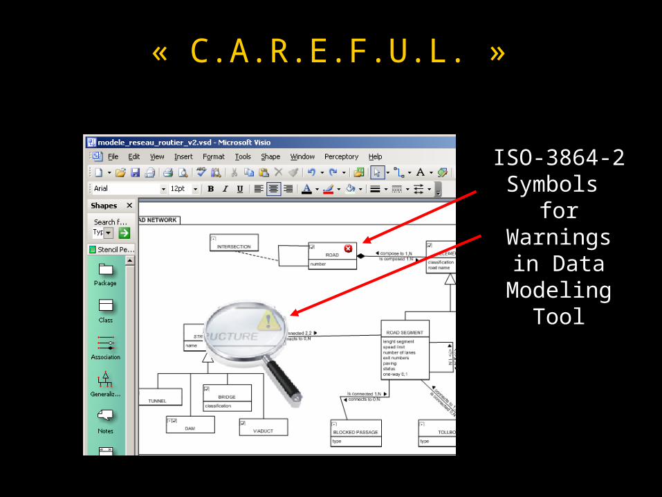
« C.A.R.E.F.U.L. »
ISO-3864-2 Symbols
for Warnings in Data
Modeling Tool
« C.A.R.E.F.U.L. »
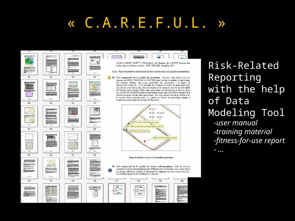
Risk-Related Reportingwith the help of Data Modeling Tool -user manual -training material -fitness-for-use report - …

« C.A.R.E.F.U.L. »
Context-sensitive Warnings Generated from Data Modeling Tool
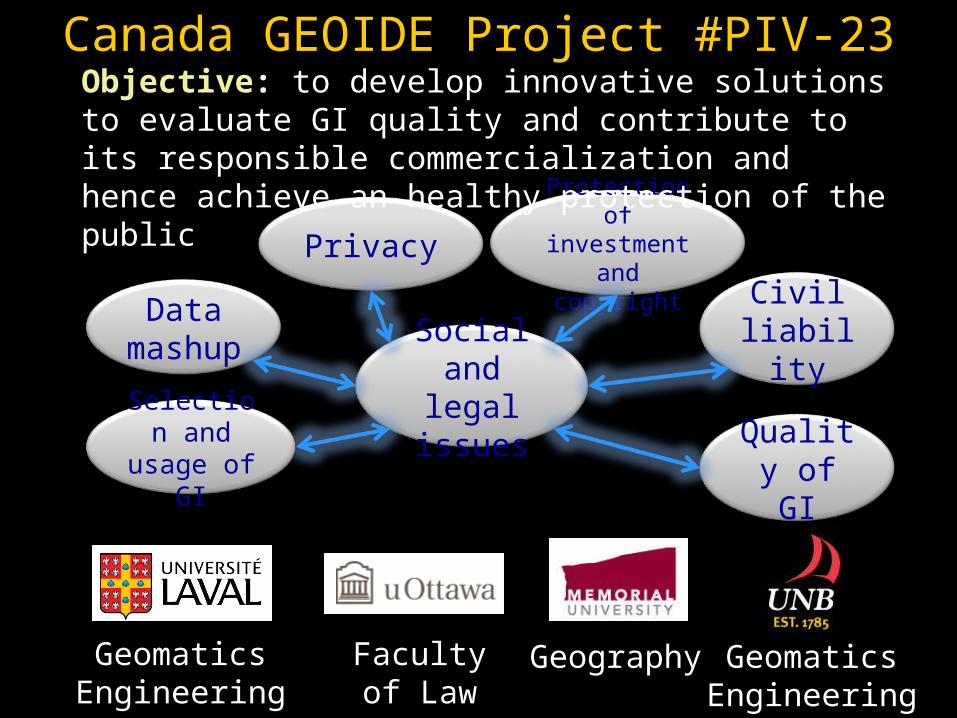
Canada GEOIDE Project #PIV-23
Privacy
Data mashup
Quality of GI
Civil liabilitySocial
and legal issues
Protection of investment
and copyright
Selection and usage
of GI
Objective: to develop innovative solutions to evaluate GI quality and contribute to its responsible commercialization and hence achieve an healthy protection of the public
GeomaticsEngineering
Facultyof Law
GeomaticsEngineering
Geography

On the U.S. side, NSF Ethics Education
Impacts on Professional System Designers, GIS Users
Ethics leads Ethics leads to protecting users against harmto protecting users against harm Several approaches exist to reduce risksSeveral approaches exist to reduce risks
Ethics leads to manage the risks related to uncertain Ethics leads to manage the risks related to uncertain data or inappropriate uses of datadata or inappropriate uses of data including unintended usesincluding unintended uses
CAREFUL is a new ethics-centered approach CAREFUL is a new ethics-centered approach extending formally proven software engineering extending formally proven software engineering methods methods
GGisprofessionalethics.org contain new GIS ethics-isprofessionalethics.org contain new GIS ethics-centered graduate curricula in progress centered graduate curricula in progress
Gateway to the Literature Plewe, B. The nature of uncertainty in historical Plewe, B. The nature of uncertainty in historical
geographic information, geographic information, Transactions in GISTransactions in GIS, 6(4): , 6(4): 431-456, 2002.431-456, 2002.
UCGIS. UCGIS. Uncertainty in Geographic Data and GIS-Uncertainty in Geographic Data and GIS-Based AnalysesBased Analyses, UCGIS Research Priority White , UCGIS Research Priority White Paper, Leesburg, VA: UCGIS, 2002.Paper, Leesburg, VA: UCGIS, 2002.
DiBiase, D., Harvey, F., Wright, D., and Goranson, DiBiase, D., Harvey, F., Wright, D., and Goranson, C. The GIS professional ethics project: Practical C. The GIS professional ethics project: Practical ethics education for GIS professionals, in Unwin, ethics education for GIS professionals, in Unwin, D., Foote, K., Tate, N., and DiBiase, D. (eds.), D., Foote, K., Tate, N., and DiBiase, D. (eds.), Teaching Geographic Information Science and Teaching Geographic Information Science and Technology in Higher Education, Technology in Higher Education, London: Wiley London: Wiley and Sons, in press, 2011and Sons, in press, 2011..

Gateway to the LiteratureBater, C. W. and N. C. Coops (2009). "Evaluating error associated with LIDAR-derived DEM interpolation." Comp. Geosci 35: 289-300.
Dendoncker, N., C. Schmit, et al. (2008). "Exploring spatial data uncertainties in land-use change scenarios." Int. J. Geog. Inf. Sci. 22(9): 1013-1030.
Xiao, N., C. A. Calder, et al. (2007). "Assessing the effect of attribute uncertainty on the robustness of choropleth map classification." Int. J. Geog. Inf. Sci. 21(1-2): 121-144.
Aguilar, F. J., M. A. Aguilar, et al. (2007). "Accuracy assessment of digital elevation models using a non-parametric approach." Int. J. Geog. Inf. Sci. 21(6-7): 667-686.
Zhou, Q., X. Liu, et al. (2006). "Terrain complexity and uncertainties in grid-based digital terrain analysis." Int. J. Geog. Inf. Sci. 20(10): 1137-1148.
Oksanen, J. and T. Sarjakoski (2006). "Uncovering the statistical and spatial characteristics of fine toposcale DEM error." Int. J. Geog. Inf. Sci. 20(4): 345-370.

Lindsay, J. B. (2006). "Sensitivity of channel mapping techniques to uncertainty in digital elevation data." Int. J. Geog. Inf. Sci. 20(6): 669-692.
Henley, S. (2006). "The problem of missing data in geoscience databases." Comp. Geosci 32: 1368-1377.
Gregory, I. N. and P. S. Ell (2006). "Error-sensitive historical GIS: Identifying areal interpolation errors in time-series data." Int. J. Geog. Inf. Sci. 20(2): 135-152.
Bishop, T. F. A., B. Minasny, et al. (2006). "Uncertainty analysis for soil-terrain models." Int. J. Geog. Inf. Sci. 20(2): 117-134.
Wu, J., T. H. Funk, et al. (2005). "Improving spatial accuracy of roadway networks and geocoded addresses." Trans. GIS 9(4): 585-602.
Shi, W. Z., Q. Q. Li, et al. (2005). "Estimating the propagation error of DEM from higher-order interpolation algorithms." Int. J. Remote Sensing 26(14): 3069-3084.
Shi, W. Z., M. Ehlers, et al. (2005). "Uncertainties in integrated remote sensing and GIS." Int. J. Remote Sensing 26(14): 2911-2916.
Kardos, J., G. Benwell, et al. (2005). "The visualisation of uncertainty for spatially referenced census data using hierarchical tessellations." Trans. GIS 9(1): 19-34.
![Blinded Veterans Association [0124]](https://static.fdocuments.us/doc/165x107/577cdd601a28ab9e78acedf0/blinded-veterans-association-0124.jpg)