
HISTORY OF Transportation Engineering
50
1 HISTORY OF Transportation Engineering
Transcript of HISTORY OF Transportation Engineering

1
HISTORY OF Transportation
Engineering

Role of Transportation
Transport and economic growth
Place utility of goods
Time utility of goods
Producer and consumer
Preservation of quality of goods
Mass production
Exploitation of natural resources
Transport and urbanization
Transport and industrial development
2

Role of Transportation…
Transport and agricultural development
Costs of goods
Administration
Defence and strategic needs
Tourism
Transport facilities and social activities
3

Modes of Transport
Railways
Surface
Underground
Elevated
Light rail transit (LRT)
Road Transport
Air Transport
Water Transport
Pipelines
4

Transport Modes
Characteristics
Speed
Safety
Adequacy
Frequency
Regularity
Integration
Responsibilities
Cost
Cheapness
Fuel efficiency
5

Transport modes in India
Railways :
62500 km, Passengers- 300 bpk/year (20% of total
traffic)
Freight traffic- 257 bt/year (40% of total traffic)
Road Transport
3 million km
National Highways: 66900 km
Total vehicles- 67 million and growth rate of 10%
6
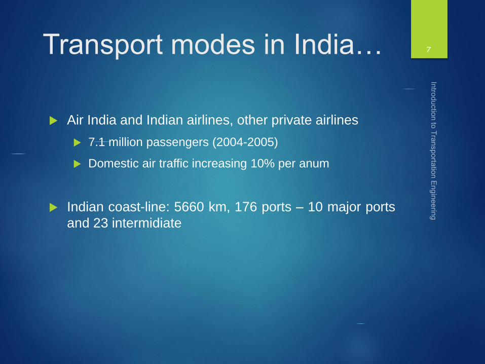
Transport modes in India…
Air India and Indian airlines, other private airlines
7.1 million passengers (2004-2005)
Domestic air traffic increasing 10% per anum
Indian coast-line: 5660 km, 176 ports – 10 major ports
and 23 intermidiate
7
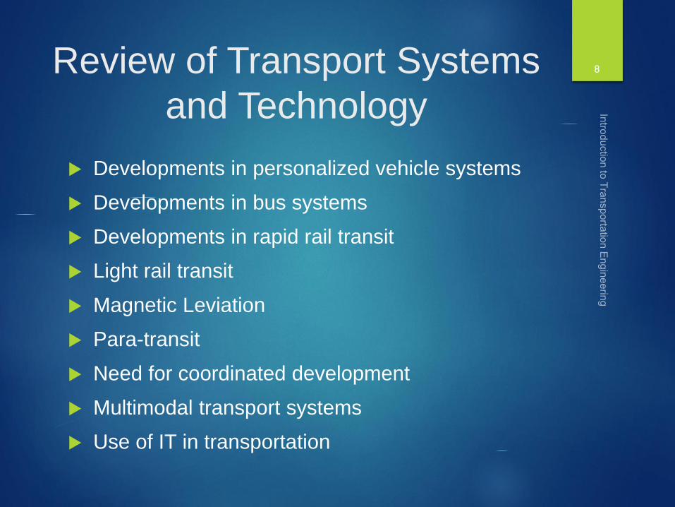
Review of Transport Systems
and Technology
Developments in personalized vehicle systems
Developments in bus systems
Developments in rapid rail transit
Light rail transit
Magnetic Leviation
Para-transit
Need for coordinated development
Multimodal transport systems
Use of IT in transportation
8

ITS and its Potential in India
Application of modern information and communicationtechnologies for the safer, faster, comfortable movement ofpersons and goods
Advance Traveler Information Systems (ATIS)
Advanced Public Transportation Systems (APTS)
Automatic Vehicle Detection and Control Systems
Commercial Vehicle Operations
Automated Highway Systems
Intelligent Vehicle and Highway Systems (IVHS)
Electronic Tolling
9
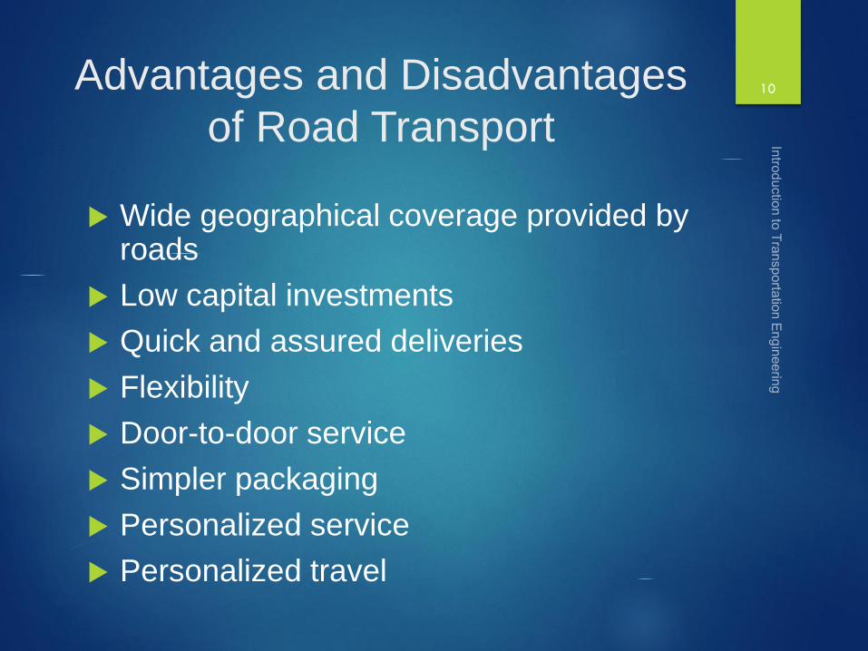
Advantages and Disadvantages
of Road Transport
Wide geographical coverage provided by roads
Low capital investments
Quick and assured deliveries
Flexibility
Door-to-door service
Simpler packaging
Personalized service
Personalized travel
10

Advantages and Disadvantages
of Road Transport….
Short hauls
Safety
Environmental pollution
Parking problem
Long-hauls
Energy
11

Role of Roads in Indian
Economy
Connection to villages
Communications in hilly terrain
Strategic importance
Carriers of fright and passengers as a feeder to other modes
Helps agriculture, dairy, forest, fisheries, tourism, etc. development
Employment
Famine and flood relief
Administrative convenience
12

Research Areas in
transportation Engineering
Traffic engineering and management
Transportation planning and management
Road safety
Transportation economics
Urban mass transit planning, management and
operation
Pavement materials characterization
Pavement management systems
Pavement design and analysis
13

History of Growth of
Highways
Differences – Highways, Roads, Streets and
Expressways
Ancient man age and usage of animal drawn
vehicles
Invention of the wheel, steam engine, etc.
The Roman Civilization
The Persians and Chinese Civilizations
Indus Valley Civilization
The Mauryas, the Guptas and the mughals.
14

Cross Section of Early
Roads
15
Telford Pavement
Macadam Pavement

Development of Roads in
India during British Period
Neglect of the road system in India
Military and administrative purpose only
Introduction of railways
Feeder roads to the railways
Jayakar Committee (1927)
Landmark in the planned development of roads
Central road fund as road development fund
The Indian Roads Congress (1934)
Produced standards and codes of practices for theplanning, design, operation and management ofroads
16

Development of Roads in
India
Road Development Plans
Nagpur Plan ( 1943)
Twenty year road development plan
(Bombay Plan) 1961-1981
Twenty year road development plan
(Lucknow Plan) 1981-2001
Road Development Plan, Vision 2021
17

Rural Roads, Vision 2025
Indian Roads Congress drafted
Building of core road network which givesaccessibility to each village
Habitations with a population above 100 should beconnected by all whether roads
It is estimated that the length o 2,90,000 km of newroads will be needed to achieve the full connectivity(outlay for this 26,000 c, besides 66,000 c already)
Up gradation of 1,237,000 km length (1,64,000 c)
Maintenance of Rural Road Network (7,500 c/anum)
18

Roads in the World Today
USA has the largest network of roads (6.3 M-km)
India with its 3.3 M-km road network comes second
Density of roads (km/sq km) is very high in Germany and Japan which are small in area
India : 1 km/sq km, USA: 0.67 and China : 0.12 km/sq km
Percentage of paved roads
UK : 100%
Germany : 99%
USA : 91%
India : 50%
19

International Comparison of
Expressways USA – 88400 km
Germany- 11000 km
Japan – 8500 km
China – 6000 km
UK – 4000 km
Malaysia – 1500 km
India – 200 km
20

Car-Ownership Rates (cars/1000
persons)21

Functional Classification of
Roads
Administration of the roads
Appropriate design standards
Developing appropriate and integrated network
Broad Classification:
Urban roads
Rural roads
22

Classification of Urban Roads in
India
Expressways
Arterial Streets
Sub-arterial streets
Collector streets
Local Streets
23

Classification of non-urban roads in
India
Primary system
Expressways
National Highways
Secondary System
State highways
Major district roads
Tertiary System
Other District Roads
Village Roads
24

Administration of Roads
Administration of National Highways
Ministry of defense
Ministry of railways
The border road development board
The ministry of rural development
Ministry of Road Transport and Highways (MoRTH)
National Highways Authority of India
Central Road Fund (CRF)
Administration of State Roads
25

Road Research
Central Road Research Institute
State Highway Research Laboratories
Highway Research Station, chennai
Maharashtra Engineering Research Institute, Nashik
Gujarat Engineering Research Institute, Vadodara
Highway Staff Training Institute
National Institute for training of highway engineers,
NOIDA
IITs, NITs or institutions like BITS
26

National Rural Road Development
Agency
NRRDA
Pradhan Mantri Gram Sadak Yojna (PMGSY)
Connect every habitation with a population 1000 persons through good all weather roads (2003)
Connect every habitation with a population 500 persons through good all weather roads (2007)
Now it is habitations with population 100
60000 c and connectivity to about 1,00000 habitations
27

Types of Transportation Plans
National Plan
National Transport Plan
Regional Transport Plan (State or Region)
Local Transport Plan (District, city or town)
National Transport Policy Committee
28

Highway Financing and Taxation in
India
Construction and maintenance of
highways, roads and streets by the
government
Taxes, Levies and tolls
Level of taxation on roads and road
transport in India is very high as
compared to its outlay
29
Year Tax Revenue
(C)
Expenditure
on Roads (C)
Expenditure
on roads as %
1950-51 47.37 34.47 72.7
1960-61 166.94 109.76 65.7
1970-71 683.12 257.60 37.7
1984-85 4400.00 1824.00 41.5
2001-02 5000.00 2100.00 42.0

Types of Taxes and Levies
Central Tax Collection
Import duty on motor vehicles and spareparts
Import duty on petroleum products
Excise duty on motor vehicles, spares,tyres and tubes
Excise duty on petroleum products
Toll at selected bridges, tunnels andnational highways
30

Types of Taxes and Levies…
State Tax Collection
Sales tax on motor vehicles, spares and tyres and tubes
Sales tax on petroleum products
Motor vehicle taxes
Taxes on passenger and goods
Permit fees
Drivers’ and conductors’ license fees
Octroi, toll levied by state and wheel tax
31

Questions to ponder upon…
What are the present shortcomings of present taxation
system in India?
Whether there is a need for implementing the
constitutional reforms?
Why there is a gap between revenues and actual
outlay in road transport?
32

Planning Surveys
Highway planning phase includes
Assessment of road length required for area
Preparation of master plan showing the phasing of plan
Economic Studies
Financial studies
Traffic and rod use studies
Engineering studies
33
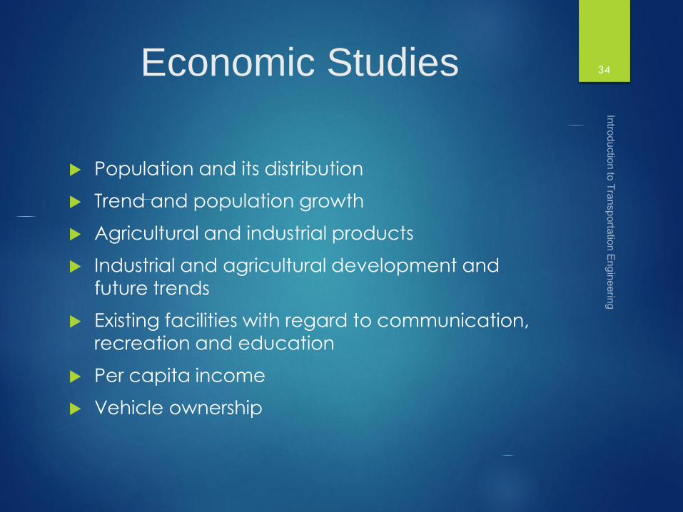
Economic Studies
Population and its distribution
Trend and population growth
Agricultural and industrial products
Industrial and agricultural development and
future trends
Existing facilities with regard to communication,
recreation and education
Per capita income
Vehicle ownership
34

Financial Studies
Sources of income and estimated revenuefrom taxation on road transport
Living standards
Resources at local level, toll taxes, vehicleregistration and fines
Future trends in financial aspects
Public-Private Partnership basis : BOOT,BOT, etc.
Incentives for investors
Other methods for raising funds
35
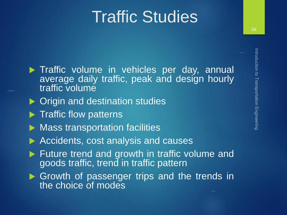
Traffic Studies
Traffic volume in vehicles per day, annualaverage daily traffic, peak and design hourlytraffic volume
Origin and destination studies
Traffic flow patterns
Mass transportation facilities
Accidents, cost analysis and causes
Future trend and growth in traffic volume andgoods traffic, trend in traffic pattern
Growth of passenger trips and the trends inthe choice of modes
36

Engineering Studies
Topographic surveys
Soil surveys
Location and classification of existing roads
Estimation of possible developments in all aspects due to proposed highway development
Road life studies
Special problems in drainage, construction and maintenance of roads
37

Preparation of Plans
General Area Plan
Distribution of population
Locations of places with their respective productivity and quantity
Existing road network with traffic flows and desire lines
38

Twenty Years
Road
Development
Plans

Nagpur road congress 1943
A twenty year development program for the period(1943-1963) was finalized.
It was the first attempt to prepare a coordinatedroad development program in a planned manner.
The roads were divided into four classes
The committee planned to construct 2 lakh kms ofroad across the country within 20 years.
They recommended the construction of star and gridpattern of roads throughout the country.
One of the objective was that the road length shouldbe increased so as to give a road density of 16 kmsper 100 sq.km

Star and Grid Formulae
The total length of the first category or mettalled roads for NH, SH andMDR in km is given by the formula as follows:
Where,
Where,
A is agricultural area sqkm
B is non agricultural area sqkm
N number of towns and villages with population range 2001-5000
T number of towns and villages with population over 5000
D development allowance of 15 % of road length for next 20 years
R is existing length of railway track , km
41
RDTNBA
kmMDRSHNH ]86.1328
[)(

Star and Grid Formulae…
The total length of secondary category of roads (km)
ODR + VR (km) = [0.32V+0.8Q+1.6P+3.2S] + D
Where,
V is number of villages with population 500 or less
Q number of villages with population range 501-1000
P number of villages with population range 1001 -2000
S number of villages with population range 2001 -5000
D development allowance of 15% for next 20 years
42

Example
The following data were collected for planning the road developmentprogram of a backward district.
1. Total Area = 9600 sq km
2. Agricultural and developed area = 3200
3. Existing railway track length = 105 km
4. Existing length of mettalled road = 322 km
5. Existing length of unmettalled road = 450 km
6. Number of towns and villages in different population ranges are :
7. Calculate the additional lengths as per Nagpur road plan formulae fordistrict.
43
Population >5000 2001-
5000
1001-
2000
501-1000 <500
Number of villages
& towns
8 40 130 280 590

Bombay road congress 1961
It was the second 20 year road plan (1961-1981)
The total road length targeted to construct was about10 lakhs.
Rural roads were given specific attention. Scientificmethods of construction was proposed for the ruralroads.
The necessary technical advice to the Panchayathsshould be given by State PWD's.
They suggested that the length of the road should beincreased so as to give a road density of 32kms/100sq.km
The construction of 1600 km of expressways was alsothen included in the plan.

Formulae
DRQPNMkCBA
kmMDRSHNH
]4.24.66.92.112448[
24168)(
45
DMKCBA
kmNH ]832[]968064
[)(
DPNMkCBA
kmSHNH
]6.12.112448[
322420)(
DTSRQPNMkCBA
kmODRMDRSHNH
]32.08.048.126.92.112448[
1632
3
16
3)(
DVTSRQPNMkCBA
kmVRODRMDRSHNH
]2.064.06.19.58.126.92.112448[
1284)(
Formulae…
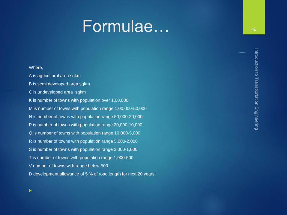
Where,
A is agricultural area sqkm
B is semi developed area sqkm
C is undeveloped area sqkm
K is number of towns with population over 1,00,000
M is number of towns with population range 1,00,000-50,000
N is number of towns with population range 50,000-20,000
P is number of towns with population range 20,000-10,000
Q is number of towns with population range 10,000-5,000
R is number of towns with population range 5,000-2,000
S is number of towns with population range 2,000-1,000
T is number of towns with population range 1,000-500
V number of towns with range below 500
D development allowance of 5 % of road length for next 20 years
46

Example
Calculate the total lengths of NH, SH, MDR, ODR and VR needed in a district
as per second 20-year plan . The data collected is as follows:
Total area =18400 sq km
Developed and agricultural area = 8000 sqkm
Undeveloped area = 4800 Sq km
Population distribution
47
Population range Number of towns
<500 200
500-1000 350
1000-2000 750
2000-5000 360
5000-10000 150
10000-20000 80
20000-50000 25
50000-100000 10
>1,00000 5
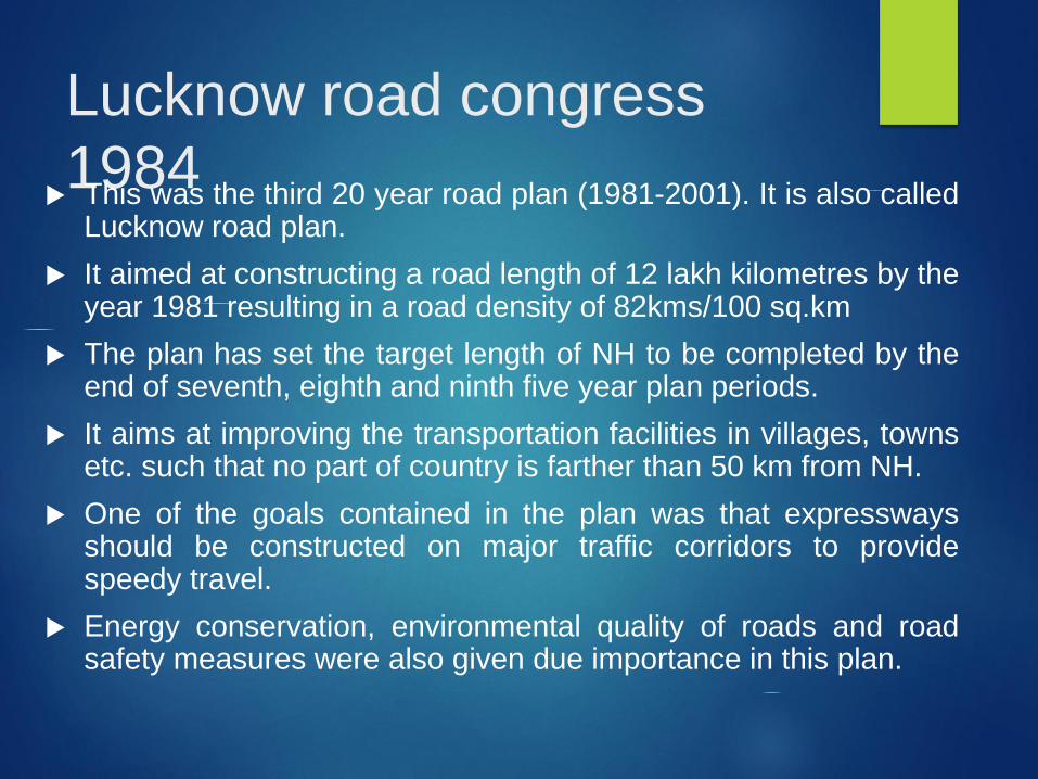
Lucknow road congress
1984 This was the third 20 year road plan (1981-2001). It is also called
Lucknow road plan.
It aimed at constructing a road length of 12 lakh kilometres by theyear 1981 resulting in a road density of 82kms/100 sq.km
The plan has set the target length of NH to be completed by theend of seventh, eighth and ninth five year plan periods.
It aims at improving the transportation facilities in villages, townsetc. such that no part of country is farther than 50 km from NH.
One of the goals contained in the plan was that expresswaysshould be constructed on major traffic corridors to providespeedy travel.
Energy conservation, environmental quality of roads and roadsafety measures were also given due importance in this plan.

Basis of the Formulae
Primary Road System
Expressway – 2000 km : Based on some project formulation
National Highways: concept of 100 km Square grids
Length of the NH in country, km = 3287782/50 = 65,756 km
Secondary System: length of SH
NH and SH should pass through every town and urban area: 3364 townsin the country (Based on census data: 1981)
Area of each square grid = 3287782/3364 = 977.3 Sq km (31.26 km eachside)
Total SH +NH = 2*31.26* 3364 = 2,10,250 km
SH length = 2,10,250 km – 66000 km = 1,45,000 km.
By Total Area, SH , Length (km) = Area of the state/ 25 (Double of NH)
By total number of towns: {(62.5 * no of towns in the state) – (Area ofstate/ 50)}
49

Length of MDR, ODR and
VR
Major District Roads
Total length of MDR in the country = 3,00,000 km
By Total Area, MDR , Length (km) = Area of the state/ 12.5(Double of SH)
By total number of towns in state : {(90*no of towns in thestate)}
Tertiary System
Total road length for the state
Density to be achieved per 100 sq km.
The area of a certain district in India is 13,400 sq km andthere were 12 towns as per 1981 census. Determine thelengths of different categories of roads to be provided inthis district by the year 2001.
50


![Transportation Engineering - I - · PDF fileenough to Transportation Engineering - I nissan 3 URL: [1] INTRODUCTION TO TRANSPORTATION ENGINEERING Transportation](https://static.fdocuments.us/doc/165x107/5a8958357f8b9a4a268b45eb/transportation-engineering-i-to-transportation-engineering-i-nissan-3-url.jpg)


