Historical Studies Research Design - El Paso, Texas
42
The environmental review, consultation, and other actions required by applicable Federal environmental laws for this project are being, or have been, carried-out by TxDOT pursuant to 23 U.S.C. 327 and a Memorandum of Understanding dated 12-09-2019, and executed by FHWA and TxDOT. Historical Studies Research Design Reconnaissance Survey Project Name: Central Business District (CBD) Phase IV: Oregon St., Kansas St., Campbell St., 6 th Ave., and Father Rahm Ave. Project Limits: Various Locations District(s): El Paso District County(s): El Paso County CSJ Number(s): 0924-06-562 Prinicipal Investigator: Heather Goodson Report Completion Date: December 2019
Transcript of Historical Studies Research Design - El Paso, Texas

The environmental review, consultation, and other actions required by applicable Federal environmental laws for this project are being, or have been,
carried-out by TxDOT pursuant to 23 U.S.C. 327 and a Memorandum of Understanding dated 12-09-2019, and executed by FHWA and TxDOT.
Historical Studies Research Design Reconnaissance Survey
Project Name: Central Business District (CBD) Phase IV: Oregon St., Kansas St., Campbell St., 6th
Ave., and Father Rahm Ave.
Project Limits: Various Locations
District(s): El Paso District
County(s): El Paso County
CSJ Number(s): 0924-06-562
Prinicipal Investigator: Heather Goodson
Report Completion Date: December 2019

Historical Studies Research Design, Texas Department of Transportation, Environmental Affairs Division
istorical Studies Report, Texas Department of Transportation, Environmental Affairs Division
2
This historical studies research design is produced for the purposes of meeting
requirements under Section 106 of the National Historic Preservation Act, the Antiquities
Code of Texas, and other cultural resource legislation related to environmental clearance as
applicable.

Historical Studies Research Design, Texas Department of Transportation, Environmental Affairs Division
istorical Studies Report, Texas Department of Transportation, Environmental Affairs Division
3
Table of Contents
Project Identification ...................................................................................................................... 4
Project Description ......................................................................................................................... 5
Project Setting/Study Area ............................................................................................................ 6
Anticipated Section 106 Consulting Parties ................................................................................ 6
Anticipated Project Stakeholders .................................................................................................. 7
Previously Designated Historic Properties and Evaluated Resources ....................................... 8
Preliminary Assessment of Impacts to Historic Properties ......................................................... 9
Anticipated Survey Methods ....................................................................................................... 10
Literature Review and Methodology ........................................................................................... 11
Preliminary Historical Context Outline ........................................................................................ 12
References Cited .......................................................................................................................... 19
Appendix A: Figures ...................................................................................................................... 21
Appendix B: Plan and Profile and Typical Sections .................................................................... 25

Historical Studies Research Design, Texas Department of Transportation, Environmental Affairs Division
istorical Studies Report, Texas Department of Transportation, Environmental Affairs Division
4
Project Identification
▪ Report Completion Date: 12/30/2019
▪ Anticipated Date(s) for Fieldwork: January 2020
▪ Anticipated Survey Type: ☐ Windshield ☒ Reconnaissance ☐ Intensive
▪ Research Design Version: ☐ Draft ☒ Final
▪ Regulatory Jurisdiction: ☒ Federal ☐ State
▪ TxDOT Contract Number: Not applicable
▪ District or Districts: El Paso District
▪ County or Counties: El Paso County
▪ Highway or Facility: Central Business District (CBD) Phase IV:
Oregon St., Kansas St., Campbell St., 6th Ave.,
and Father Rahm Ave.
▪ Proposed Project Limits: Various Limits
▪ Main CSJ Number 0924-06-562
▪ Anticipated Report Author(s): Heather Goodson, Maryellen Russo, Rebecca
Wallisch, and Mikayla Brown – Blanton &
Associates
▪ Anticipated Principal Investigator: Heather Goodson – Blanton & Associates
▪ Anticipated List of Preparers: Heather Goodson, Maryellen Russo, Rebecca
Wallisch, and Mikayla Brown (Historians); Josh
Hamilton (GIS); Marjorie Saylors (Technical
Editor)

Historical Studies Research Design, Texas Department of Transportation, Environmental Affairs Division
istorical Studies Report, Texas Department of Transportation, Environmental Affairs Division
5
Project Description
▪ Project Type: Roadway Construction, Parking Improvements, Roadway
Reconstruction, ADA Improvements, Parkway Improvements,
Bicycle Improvements, and Sidewalk Improvements
▪ Proposed Project Activities:
The City of El Paso, in cooperation with the Texas Department of Transportation (TxDOT)
El Paso District, proposes to reconstruct the roadway and make other improvements in
various locations on Oregon Street, Kansas Street, Campbell Street, 6th Avenue, and
Father Rahm Avenue in El Paso, El Paso County, Texas. Please see TxDOT ECOS for a
detailed project description. See Figures 1 and 2 for project location and Figure 3 for
the proposed project’s Area of Potential Effects (APE).
▪ Total Project Length: Approximately 1.8 miles
▪ New Right of Way (ROW): None
▪ Permanent Easement Acreage: None
▪ Temporary Easement Acreage: None
▪ Recommended Area of Potential Effects (APE):
☐ Existing ROW
☐ 150’ from Proposed ROW and Easements
☐ 300’ from Proposed ROW and Easements
☒ Custom:
Parcels immediately adjacent to the locations where the proposed project activities
would occur.
▪ Anticipated Historic-Age Survey Cut-Off
Date: 1975
▪ Study Area Scope: 1,300 feet from APE

Historical Studies Research Design, Texas Department of Transportation, Environmental Affairs Division
istorical Studies Report, Texas Department of Transportation, Environmental Affairs Division
6
Project Setting/Study Area
▪ Current Land Use
The proposed project is located in southern El Paso at the edge of the historic
commercial core, between the U.S. border with Mexico and downtown El Paso. The
project area is generally characterized by historic and non-historic age commercial
development along each of the streets on which the proposed project activites would
occur. A church and parking lots are interspersed among the commercial buildings.
There are also multi-family residential properties and a school at the eastern edge of the
project. Another school and a large supermarket are located at the southeast end of the
project along Kansas and Campbell Streets near the rail yard. Based on preliminary
review of aerial and historic photographs and background information, there are
historic-age properties within the APE of the proposed project.
▪ Natural Environment
The study area is within the Trans-Pecos Natural Region of western Texas. A portion of
this region is also part of the Chihuahuan Desert. The Rio Grande flows through El Paso
and is the boundary to the south and southwest between the United States and Mexico.
This area is characterized by desert grasslands and scrub brushes. In addition, the semi-
arid climate of El Paso with a lack of precipitation creates an environment for dry, loose
soil, frequent dust storms, and strong winds.
Anticipated Section 106 Consulting Parties
▪ Proposed Public Involvement Outreach Efforts:
Per 36 CFR 800.2, TxDOT “should plan consultations appropriate to the scale of the
undertaking and the scope of Federal involvement and coordination with other
requirements of other statues, as applicable.” Additionally, consulting parties as
outlined in 36 CFR 800.2 include the State Historic Preservation Office (SHPO), local
government representatives, and other individuals and organizations.
For this proposed undertaking, the consulting parties are those who may have concerns
about properties within the APE of the project and TxDOT’s compliance with Section
106. These include the Texas SHPO and the El Paso County Historical Commission
(CHC). El Paso is also a Certified Local Government (CLG) community in the project area.
Any comments received from the CHC or CLG Representative in B&A’s initial outreach
will be noted in the Historic Resources Survey Report (HRSR). In coordinating the project
under Section 106, TxDOT may continue consultation with the CHC and CLG, and initiate
consultation with the Texas SHPO. Any comments received from the CHC, CLG, and
Texas SHPO will be considered in the project planning process.

Historical Studies Research Design, Texas Department of Transportation, Environmental Affairs Division
istorical Studies Report, Texas Department of Transportation, Environmental Affairs Division
7
▪ Potential Consulting Parties:
Justin Kockritz
Texas Historical Commission
P.O. Box 12276
Austin, TX 78711
Phone: 512-463-5851
Email: [email protected]
Barbara Welch
El Paso CHC
708 Camino Real Ave.
El Paso, TX 79922
Phone: 915-867-5664
Email: [email protected]
Providencia Velazquez
City of El Paso, HPO
801 Texas Ave., 2nd Floor
El Paso, TX 79901
Phone: 915-212-1567
Email: [email protected]
Anticipated Project Stakeholders
B&A is not aware of any anticipated project stakeholders other than the potential
Section 106 consulting parties noted above.
Historical Studies Research Design, Texas Department of Transportation, Environmental Affairs Division
istorical Studies Report, Texas Department of Transportation, Environmental Affairs Division
8
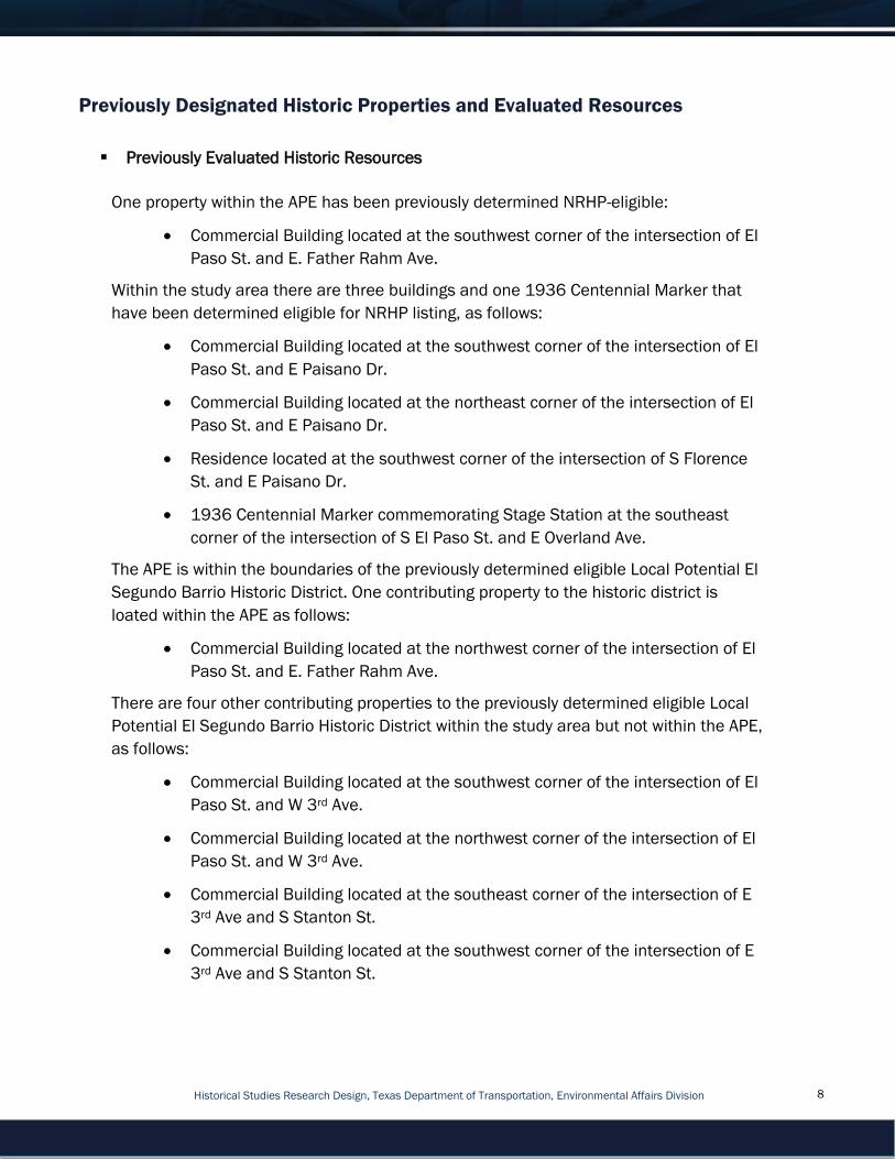
Previously Designated Historic Properties and Evaluated Resources
▪ Previously Evaluated Historic Resources
One property within the APE has been previously determined NRHP-eligible:
• Commercial Building located at the southwest corner of the intersection of El
Paso St. and E. Father Rahm Ave.
Within the study area there are three buildings and one 1936 Centennial Marker that
have been determined eligible for NRHP listing, as follows:
• Commercial Building located at the southwest corner of the intersection of El
Paso St. and E Paisano Dr.
• Commercial Building located at the northeast corner of the intersection of El
Paso St. and E Paisano Dr.
• Residence located at the southwest corner of the intersection of S Florence
St. and E Paisano Dr.
• 1936 Centennial Marker commemorating Stage Station at the southeast
corner of the intersection of S El Paso St. and E Overland Ave.
The APE is within the boundaries of the previously determined eligible Local Potential El
Segundo Barrio Historic District. One contributing property to the historic district is
loated within the APE as follows:
• Commercial Building located at the northwest corner of the intersection of El
Paso St. and E. Father Rahm Ave.
There are four other contributing properties to the previously determined eligible Local
Potential El Segundo Barrio Historic District within the study area but not within the APE,
as follows:
• Commercial Building located at the southwest corner of the intersection of El
Paso St. and W 3rd Ave.
• Commercial Building located at the northwest corner of the intersection of El
Paso St. and W 3rd Ave.
• Commercial Building located at the southeast corner of the intersection of E
3rd Ave and S Stanton St.
• Commercial Building located at the southwest corner of the intersection of E
3rd Ave and S Stanton St.

Historical Studies Research Design, Texas Department of Transportation, Environmental Affairs Division
istorical Studies Report, Texas Department of Transportation, Environmental Affairs Division
9
The previously determined eligible Local Potential Downtown Historic District is partially
within the study area. There is one contributing property to the historic district located
within the study area – Dave’s Pawn Shop, located at 216 S El Paso St.
▪ Previously Designated Historic Properties
Within the study area there are twelve buildings listed in the NRHP:
• Silver Dollar Café, located at 1021 S Mesa St.
• Toltec Club, located at 602 Magoffin Ave.
• El Paso U.S. Courthouse, located at 511 W San Antonio Ave.
• Caples, Richard Building, located at 300 E San Antonio Ave.
• Popular Department Store, located at 102 N Mesa St.
• Abdou Building, located at 115 N Mesa St.
• Hills, W.S., Commercial Structure, located at 215-19 San Antonio Ave.
• Plaza Hotel, located at the intersection of Oregon and Mills Sts.
• First Mortage Company, located at 109 N Oregon St.
• State National Bank, located at 114 E San Antonio Ave.
• Hotel Paso del Norte, located at 115 El Paso St.
• Palace Theatre, located at 209 S El Paso St.
None of these properties fall within the proposed project’s APE.
▪ Previously Designated Historic Districts
While the boundaries of the NRHP-listed El Paso County Water Improvement District No.
1 Historic District intersect the proposed project’s APE, there are no contributing
properties to the historic district within the APE or study area. The NRHP-listed Franklin
Canal Historic District is partially located within the study area but it does not fall within
the APE.
Preliminary Assessment of Impacts to Historic Properties
▪ Description of Impacts
There is one previously determined NRHP-eligible property and one contributing property
to the previously determined eligible Local Potential El Segundo Barrio Historic District
within the project’s APE. However, it is not anticipated the proposed project would pose

Historical Studies Research Design, Texas Department of Transportation, Environmental Affairs Division
istorical Studies Report, Texas Department of Transportation, Environmental Affairs Division
10
direct adverse effects to the properties or historic district. Building protection notes at
each property’s location are warranted to avoid direct adverse effects. B&A will provide
the building protection notes for incorporation into the project design plans. It is not
anticipated the proposed project activities would pose indirect visual, auditory, or
cumulative effects to the properties or the historic district. If field investigations reveal
the presence of additional NRHP-eligible or NRHP-listed properties within the APE, the
assessment of impacts would be provided as appropriate in the HRSR.
Anticipated Survey Methods
▪ Anticipated Surveyors: Heather Goodson and Mikayla Brown
▪ Methodology Description
Because the project meets Appendix 6 of the Section 106 Programmatic Agreement
among the Federal Highway Administration (FHWA), TxDOT, SHPO, and the Advisory
Council on Historic Preservation Regarding the Implementation of Transportation
Undertakings (PA-TU), a reconnaissance-level historic resources survey is required to
identify and evaluate historic properties within the APE and determine potential effects to
historic properties.
B&A will survey and document historic-age resources constructed in or before 1975 that
are within the APE. Based on preliminary review of secondary source material, including
current and historic aerial photography and topographic maps, it is anticipated that there
are mostly commercial and residential properties within the APE with religious and
educational properties interspersed among them. Per TxDOT guidance, B&A will take at
least two photographs of each resource, including both primary façade and a side
elevation.
In cases where vegetation, fencing, lack of access, or safety concerns limit or prohibit
photographic documentation, B&A will provide the best view available from the public
ROW and provide aerial photographs for further documentation of the resource. When
photographic documentation is limited or prohibited, B&A will note this on the survey
forms.
▪ Compliance with TxDOT Standards Statement
B&A will complete the historic resources survey in accordance with TxDOT
Environmental Affairs Division’s (ENV) October 2017 Documentation Standard and
Report Template for Preparing a Historic Resources Survey Report.

Historical Studies Research Design, Texas Department of Transportation, Environmental Affairs Division
istorical Studies Report, Texas Department of Transportation, Environmental Affairs Division
11
Literature Review and Methodology
▪ Research to Date
B&A consulted the THC’s Texas Historic Sites Atlas to identify any previously identified
historic resources listed on the NRHP or designated as National Historic Landmarks
(NHLs), RTHLs, or standing structure State Antiquities Landmarks (SALs). B&A also
consulted TxDOT’s Historic Properties and Districts Map Database and TxDOT’s Historic
Bridges of Texas Map Database. The results of these reviews were discussed above.
B&A also conducted research at the following repositories and websites:
Dolph Briscoe Center for American History
• El Pasoans: Life and Society in Mexican El Paso, 1920-1945
• City at the Pass: illustrated history of El Paso
• El Paso: A Borderlands History
• El Paso: guided through time
• Geography of El Paso
• Texas 1936 Centennial Celebration: official publication
• Vertical Subject File: El Paso TX – Historic Buildings
Online Sources
• THC Texas Historic Sites Atlas website
• Historic and current maps gathered from HistoricAerials.com, the Texas State
Library and Archives Commission Map Collection, the University of Texas Perry-
Castañeda Library’s Map Collection, and the U.S. Geological Survey (USGS)
o HistoricAerials.com images
- Aerial photographs from 1946, 1955, 1967, 1991, 1996, 2003,
2004, 2008, 2010, 2012, 2014, and 2016
- Topographic maps from 1941, 1942, 1943, 1945, 1948, 1959,
1968, 1975, 1994, 1999, 2012, and 2016
o University of Texas Perry-Castañeda Library’s Map Collection
- Sanborn Fire Insurance Maps from 1883, 1885, 1888, 1893, 1898,
1900, 1902, 1905, 1908, and 1927
o USGS aerial photography from 1942, 1946, 1950, 1963, 1964, 1974,
and 1991
• Google.com aerial photography from 2007 to 2017

Historical Studies Research Design, Texas Department of Transportation, Environmental Affairs Division
istorical Studies Report, Texas Department of Transportation, Environmental Affairs Division
12
• National Park Service Bulletins
• How to Apply the National Register Criteria for Evaluation
• How to Complete the National Register Registration Form
▪ Proposed Literature Review
El Paso Public Library, Main Library
• Border Heritage Southwest Collection and Center
• La Chihuahuita
• Dates and Events in Chihuahuita History
• El Segundo Barrio
• El Paso
• Tenacious Immigrants: Crossing the Border, 1880-1930
• Memory Fever: A Journey Beyond El Paso del Norte
• The Land Where We Live: El Paso del Norte
• The Pass of the North and the Creation of the US
• Historical Maps Collection 1711-1965: El Paso Maps
The Border Heritage Southwest Collection and Center in the Main Library also has a
collection of vertical files B&A will review during onsite research. This collection does not
have an online public catalog.
B&A will contact the City of El Paso Historic Preservation Officer to inquire about
information from a comprehensive survey of the El Segundo Barrio that may have
previously been conducted. B&A will also conduct a search for any studies, surveys, or
other documentation on similar historic properties by other SHPOs and DOTs.
Preliminary Historical Context Outline
Both the anticipated areas and periods of significance are subject to change after field
investigations are complete.
Anticipated Areas of Significance: Community Planning and Development
Anticipated Periods of Significance: ca. 1893 to 1975
The begin date coincides with the estimated date of earliest historic resource in the
proposed project’s APE. The Sacred Heart Church was founded in 1893 in the Segundo
Barrio neighborhood (within the project’s APE). The end date coincides with the survey
cut-off date.

Historical Studies Research Design, Texas Department of Transportation, Environmental Affairs Division
istorical Studies Report, Texas Department of Transportation, Environmental Affairs Division
13
Historical Context
Community Planning and Development (ca. 1893 to 1975)
Situated in the western-most portion of Texas, El Paso was separated from Santa Fe
County in 1850 when the Texas legislature divided the area into four separate counties.
San Elizario was chosen as the county seat with a population of 1,200.1 A few years
later in 1858, Anson Mills established a property that he named “El Paso,” which
caused great confusion as the city across the Rio Grande was named El Paso del Norte
(later changed to Ciudad Juarez in the decades following). Continuing conflicts with
Mexico following the Mexican War caused the United States to establish a firm boundary
between Texas, New Mexico, and the country of Mexico. The Rio Grande was the
dividing line between northern Mexico and southern El Paso County.
El Paso County originally thrived on an agriculturally-driven economy.2 The Civil War and
the racially-driven Salt War of Elizario in 1877 impacted the settlement, economy, and
agricultural endeavors in El Paso. El Paso’s economy transformed significantly in the
following years due, in part, to the construction of railroads in the early 1880s. Four
railroads laid tracks through the city, and El Paso became a hub for international travel
and trade.3 El Paso was selected as the county seat in 1883.
A direct line to the West Coast also helped the City of El Paso become a continental
crossroads. Augustus Koch’s illustration entitled Bird’s Eye View of El Paso in 1886
shows just how close the railroad lines were to both the Rio Grande, downtown El Paso,
and the Segundo Barrio neighborhood (project area). The illustration also highlights
increased urban development. In 1887, Mayor R. C. Lightbody and city council members
divided El Paso into four barrios (meaning ward in Spanish) for voting distinctions. The
Segundo Barrio (the project area) was established as the second ward in the city. The
district was bordered by the Rio Grande to the south, Paisano Drive to the north, and
Santa Fe and El Paso Streets to the west. This area was characterized by overgrown
thickets, mosquitos, and adobe shacks.4 From downtown, residents and visitors traveled
down what is now South El Paso Street (within the APE) to the Rio Grande and southern
railroad tracks on a dirt trail. Families set up small establishments in the Segundo Barrio
1 Conrey Bryson, “El Paso County,” Handbook of Texas Online, https://tshaonline.org/handbook/online/articles/hce05,
accessed July 1, 2019.
2 El Paso County had more than 12,000 acres of corn, 17,000 acres of wheat, in addition to a growing stock industry in
1860. W.H. Timmons, “El Paso, TX,” Handbook of Texas Online, https://tshaonline.org/handbook/online/articles/hde01,
accessed July 1, 2019.
3 The four railroads include the Southern Pacific, Galveston, Harrisburg and San Antonio, and the Santa Fe, Texas and
Pacific Railways.
4 Leon Metz, El Paso: Guided Through Time (El Paso, TX: Mangan Books, 1999), 145-146.
Historical Studies Research Design, Texas Department of Transportation, Environmental Affairs Division
istorical Studies Report, Texas Department of Transportation, Environmental Affairs Division
14
to cater to these travelers. Uncle Jack’s and the Boss Saloon reportedly sold beer and
other grocery items.5
Though farmers continued to rebuild the agricultural industry in El Paso County, urban
manufacturing increased at a faster rate than agricultural pursuits.6 The economic boom
in the late 1800s brought many travelers to the city. El Paso slowly transitioned from an
agriculturally-driven economy to a bustling metropolis. Downtown El Paso was lined with
saloons, brothels, and even gambling halls in the 1880s and 1890s. The city developed
a reputation as “Sin City” as lawlessness pervaded in El Paso. At the time, city officials
played into the idea of “Sin City” and profited from such vice-driven establishments.
One argument for the lack of morality in El Paso was due to the lack of churches in the
area. Those wanting to attend a Catholic mass had to cross the Rio Grande to El Paso
del Norte until the establishment of Sacred Heart Church and School in the Segundo
Barrio in 1893 (within the APE at the intersection of E 4th St. and S Oregon St.). Father
Carlos Pinto opened Sacred Heart Church in an effort to serve the growing Mexican
population in El Paso. By 1899, the school added a second floor to make more
classroom space. That year, there were 400 students attending Sacred Heart School,
many of whom were from Juarez, across the Rio Grande.7
As development continued in the Segundo Barrio and the overgrown thickets started to
vanish in the early 1900s, the barrio was further split into two distinct neighborhoods,
South El Paso (Segundo Barrio) and Chihuahuita. By 1909, the second ward had its own
trolley (running along present-day Oregon St. in the project area) and a few paved roads.
Despite the attempt to improve the Segundo Barrio, many families lived in homes with
dirt flooring, thatched roofs, and no windows.
In 1910, El Paso County had over 52,500 residents.8 Many families fled Mexico during
the Mexican Revolution in 1910, which contributed to the city’s rapid population growth.
These families moved into Chihuahuita and the Segundo Barrio to seek refuge from the
conflict in Mexico. In fact, this area became know as the “Ellis Island of the Border” as it
was the most prominent gateway from Mexico into the United States.
5 Ibid, 147.
6 In 1890 there were 73 manufacturers in the county, a significant increase from the four establishments just ten years
prior. In addition, the population in El Paso had increased to over 10,000, nearly half of the total population of El Paso
County. Bryson, “El Paso County.”
7 Manuel Ramirez, “El Pasoans: Life and Society in Mexican El Paso, 1920-1945,” (PhD dissertation, University of
Mississippi, 2000).
8 “Texas Almanac: Population History of Counties from 1850 to 2010,” Texasalmanac.com,
https://texasalmanac.com/sites/default/files/images/topics/ctypophistweb2010.pdf, accessed July 1, 2019.
Historical Studies Research Design, Texas Department of Transportation, Environmental Affairs Division
istorical Studies Report, Texas Department of Transportation, Environmental Affairs Division
15
Refugees constructed jacals, homes made from mud and wood.9 This type of housing
was easy to build and could endure the arid climate in El Paso. Between 1916 and
1918, there was a mass construction of tenement housing, called presidios, in the
second ward. At first, these homes were built for workers of the Union Sugar Beet
Company and Western Sugar Beet Company.10 Not long after, however, the housing was
used for permanent barrio residents in response to the onslaught of incoming Mexican
refugees. Tenement housing was akin to apartment housing and could hold more
people in smaller locations. This housing was constructed with brick and each
apartment had one or two small rooms. Families shared a community bathroom that
was often located outside of the tenement.
In 1925, the El Paso City Planning Commission published the Kessler Report with
suggestions for beautification efforts and how to increase urban development and
tourism in the city.11 In the report, the Segundo Barrio was noted as having deplorable
housing and health conditions. The ward was overcrowded, and residents lived in
unsanitary housing conditions. Those who could afford it moved north toward the center
of El Paso. Though city officials recognized the unsafe housing conditions in the second
ward, they did little to improve them. However, in 1931, the city council ordered the
demolition of thirteen tenements as they were deemed too unsafe for dwelling.12 City
council members urged tenement housing owners to improve the living conditions for
residents, but safe-housing regulations were rarely enforced. In addition, the Kessler
Report provided recommendations to make other changes in southern El Paso. One
recommendation was to zone part of Chihuahuita and the western portion of the
Segundo Barrio for commercial construction and light manufacturing facilities.13
With little to no help from city officials to aid in improving their living situation, Mexican
families started to establish themselves in the second ward by opening their own
schools, churches, and businesses. From the early to mid-1900s on S El Paso St. (all
within the project area), Ramon Armendariz operated the largest meat market and
grocery in the second ward; Alfonso Casasola owned a Photo Studio; and Isidoro
Lawrence opened the Panaderia Nacional Mexicana (Mexican National Bakery).The
Orizaba Hotel and at least three additional Mexican markets served the needs of the
9 Texas Department of Transportation, A Journey Through Chihuahuita, Austin, TX: 2018.
10 Ramirez, 77.
11 “City of El Paso, Texas Comprehensive Plan,” available at http://legacy.elpasotexas.gov/muni_clerk/agenda/03-06-
12/03061213%20-%20Part%202.pdf, accessed July 2, 2019.
12 Ramirez, 80.
13 Sandra Enriquez, “El Barrio Unido Jamas Sera Vencido!: Neighborhood Grassroots Activism and Community
Preservation in El Paso, Texas,” (PhD dissertation, University of Houston, 2016) 80.

Historical Studies Research Design, Texas Department of Transportation, Environmental Affairs Division
istorical Studies Report, Texas Department of Transportation, Environmental Affairs Division
16
Segundo Barrio residents.14 With a variety of businesses, schools, and churches, the
Segundo Barrio essentially became self-sufficient.
In addition, the Salvation Army built a shelter for homeless men on S Oregon St. (within
the project area) during the mid-1900s. That same facility later provided medical and
child care services to second ward residents. At the intersection of Fourth and Kansas
Sts. (within the project’s APE), the first Mexican Baptist Church opened and just slightly
south down the road the Lydia Patterson Institute established a training school for
Mexican preachers. On S Campbell St. (also within the APE) the Charity Association of El
Paso offered free medical assistance to nearby residents. In 1933, the El Paso Boys
Club supported young teens at their facility near 5th and Florence Sts., and Bowie High
School opened that same year a few blocks nearby.15 El Segundo Barrio became the
center of Mexican life in El Paso.
By 1940, the City of El Paso had zoned most of the second ward for commercial and
industrial use, especially near the southern portion bordering the Rio Grande, to clean
up the community. That year, El Paso received federal funds to create a Housing
Authority. In 1940, the Alamito Housing Project built 349 dwelling units, a park, and a
library in the Segundo Barrio.16 Those efforts could not keep up with the needs of the
growing residential population in the following years, however. The Bracero Program,
which started in 1942, was a series of agreements between the United States and
Mexico that allowed Mexican immigrants the opportunity to work in the United States on
short-term labor contracts.17 These contracts meant that many workers were entering
the U.S. through the Segundo Barrio. Tenements continued to provide unsanitary and
unsafe housing, and residents had few alternative options. The area was also overrun
with gang activities from the boogies, zoot-suiters, and pachucos gangs.
Several newspapers in El Paso noted that the adobe housing in the second ward housed
more than eight people to a room with an “appalling lack of bathtubs, showers, toilets,
and faucets.”18 The City of El Paso built two federally funded housing projects to replace
some of the sub-standard developments in the barrio, but with a population of 50,000
in one square mile of the neighborhood, this project did little to help the massive
14 Metz, 152-154.
15 Ibid, 154-159.
16 City of El Paso, “El Segundo Barrio: Neighborhood Revitalization Strategy,” Community and Human Development
Department, Neighborhood Services Division (El Paso, TX: 2010),
https://www.elpasotexas.gov/~/media/files/coep/community%20and%20human%20development/plans/elsegundobarrio_
neighrevitalizationstrategy.ashx?la=en, accessed July 2, 2019.
17 W.H. Timmons, El Paso: A Borderlands History (El Paso, TX: Texas Western Press, 1990), 245-246. See also, Fred
Koestler, “Bracero Program,” Handbook of Texas Online, https://tshaonline.org/handbook/online/articles/omb01,
accessed July 3, 2019.
18 Timmons, 247.

Historical Studies Research Design, Texas Department of Transportation, Environmental Affairs Division
istorical Studies Report, Texas Department of Transportation, Environmental Affairs Division
17
number of residents in the area.19 By 1950, the population in El Paso had grown to over
130,400 residents.20 The El Segundo Barrio also had one of the highest infant mortality
rates in the United States due to the distressing and unsanitary housing and streets.21
Father Harold Rahm arrived in the barrio in 1952. As a Jesuit priest, Father Rahm
traveled throughout the city and helped cut down the gang activity by preaching about
social justice and putting an end to violence. He also helped open youth centers in the
barrio. In the decades following, the Segundo Barrio voted to rename 5th Street to Father
Rahm Avenue in honor of his contributions to the neighborhood.
Living conditions in the Segundo Barrio did not improve. In the 1960s, city officials
frequented the barrio and forced owners to make improvements to tenements. In 1963,
the Chamizal Treaty transferred approximately 600 acres of land from the United States
to Mexico to end a near-century long dispute over the territory.22 This displaced a
number of families who ended up moving into the Segundo Barrio and Chihuahuita. A
number of small shops cropped up that catered to the needs of southern El Paso
residents, including restaurants and bakeries, entertainment centers, and
barbershops.23 By the mid-1960s, the Segundo Barrio was a combination of dilapidated
housing, small shops, and a few commercial structures.24
In the late 1960s and early 1970s, the Chicano movement swept through the Segundo
Barrio. Young residents organized to fight for social betterment.25 Organizations like the
Mexican American Youth Association (MAYA) and the Mexican American Committee of
Honor and Service (MACHOS) found ways to preserve the culture of the Segundo Barrio
while making improvements within the neighborhood. Part of their movement called for
painting the interior and exterior of walls, installing neighborhood lighting, developing
parks and playgrounds, and the improvement and refurbishment of tenement housing
while maintaining the residential character of the Segundo Barrio. These organizations
also worked to create community gardens and murals in celebration of the barrio’s
culture and heritage.
19 Metz, 152.
20 See Chapter Nine, Ibid.
21 City of El Paso, “El Segundo Barrio: Neighborhood Revitalization Strategy,” 11.
22 Gladys Gregory and Sheldon Liss, “Chamizal Dispute,” Handbook of Texas Online,
https://tshaonline.org/handbook/online/articles/nbc01, accessed July 3, 2019. See also Leon Metz, City at the Pass: An
Illustrated History of El Paso (Woodland Hills, CA: Windsor Publications, 1980) 83-84.
23 Enriquez, 95.
24 Enriquez, 84.
25 Arnoldo De Leon, “Chicano,” Handbook of Texas Online, https://tshaonline.org/handbook/online/articles/pfc02, accessed
July 3, 2019.
Historical Studies Research Design, Texas Department of Transportation, Environmental Affairs Division
istorical Studies Report, Texas Department of Transportation, Environmental Affairs Division
18
Since the 1980s, the City of El Paso has made several zoning laws and procured funding
to improve the sidewalks, street lighting, and landscaping in southern El Paso.26 Housing
continued to be the main concern for residents in the area. In the early 1990s when
property owners started to use and sell residences for commercial development, the City
Council approved zoning laws that mandated that only thirty percent of apartment
buildings could be used for commercial development.27
Today, the Segundo Barrio in El Paso is still predominantly occupied by Hispanic
families. Over 498 of the housing options in the neighborhood were built prior to 1939,
though the city has continued to make plans for infrastructure improvements.28 Review
of historic aerial photographs indicates much of the tenement and adobe housing
constructed in early 1900s (within the APE) is still standing. Some of this housing has
been rehabilitated and/or replaced with more modern apartment housing, though many
residents have made small modifications to their homes to retain the original character.
In 2017, El Paso had an estimated population of 683,577, and trends suggest that the
city will continue to expand in the coming years.29 The Plan for El Paso, a twenty-five-
year revitalization plan for the Segundo Barrio (set for completion in 2025) intends to
preserve the residential character of the barrio while limiting commercial
encroachment.30
26 City of El Paso, “El Segundo Barrio: Neighborhood Revitalization Strategy,” 13.
27 Ibid.
28 “Segundo Barrio Neighborhood in El Paso, Texas, 79901 Detailed Profile,” City-data.com, http://www.city-
data.com/neighborhood/Segundo-Barrio-El-Paso-TX.html, accessed July 2, 2019.
29 “Population Estimates of Texas Cities, 2010-2017,” Texas State Library and Archives Commission,
https://www.tsl.texas.gov/ref/abouttx/popcity6.html, accessed July 2, 2019.
30 The plan also includes the promotion of mixed-use development, continued beautification of the downtown area, and
finding ways to preserve historic districts in the Segundo Barrio. City of El Paso, “El Segundo Barrio: Neighborhood
Revitalization Strategy,” 14-16.

Historical Studies Research Design, Texas Department of Transportation, Environmental Affairs Division
istorical Studies Report, Texas Department of Transportation, Environmental Affairs Division
19
References Cited
Bryson, Conrey. “El Paso County.” Handbook of Texas Online. Accessed July 1, 2019.
https://tshaonline.org/handbook/online/articles/hce05.
City of El Paso. “El Segundo Barrio: Neighborhood Revitalization Strategy.” Community and
Human Development Department, Neighborhood Services Division. El Paso, TX: 2010.
Accessed July 2, 2019. Available at
https://www.elpasotexas.gov/~/media/files/coep/community%20and%20human%20
development/plans/elsegundobarrio_neighrevitalizationstrategy.ashx?la=en.
“City of El Paso, Texas Comprehensive Plan.” Accessed July 2, 2019. Available at
http://legacy.elpasotexas.gov/muni_clerk/agenda/03-06-12/03061213%20-
%20Part%202.pdf.
De Leon, Arnoldo. “Chicano.” Handbook of Texas Online. Accessed July 3, 2019.
https://tshaonline.org/handbook/online/articles/pfc02.
Enriquez, Sandra. “El Barrio Unido Jamas Sera Vencido: Neighborhood Grassroots Activism
and Community Preservation in El Paso, Texas.” PhD Dissertation, University of
Houston, 2016.
Gregory, Gladys and Sheldon Liss. “Chamizal Dispute.” Handbook of Texas Online. Accessed
July 3, 2019. https://tshaonline.org/handbook/online/articles/nbc01.
A Journey Through Chihuahuita. Austin, TX: Texas Department of Transportation, 2018.
Accessed July 1, 2019. Available at https://ftp.dot.state.tx.us/pub/txdot-
info/env/toolkit/env-0348058-history-outreach-brochure.pdf.
Koestler, Fred. “Bracero Program.” Handbook of Texas Online. Accessed July 3, 2019.
https://tshaonline.org/handbook/online/articles/omb01.
Metz, Leon. El Paso: Guided Through Time. El Paso, TX: Mangan Books, 1999.
“Population Estimates of Texas Cities, 2010-2017.” Texas State Library and Archives
Commission. Accessed July 2, 2019.
https://www.tsl.texas.gov/ref/abouttx/popcity6.html.
Ramirez, Manuel. “El Pasoans: Life and Society in Mexican El Paso, 1920-1945.” PhD
Dissertation, University of Mississippi, 2000.
“Segundo Barrio Neighborhood in El Paso, Texas, 79901 Detailed Profile.” City-data.com.
Accessed July 2, 2019. Available at http://www.city-data.com/neighborhood/Segundo-
Barrio-El-Paso-TX.html.
Historical Studies Research Design, Texas Department of Transportation, Environmental Affairs Division
istorical Studies Report, Texas Department of Transportation, Environmental Affairs Division
20
“Texas Almanac: Population History of Counties from 1850 to 2010.” Texasalmanac.com.
Accessed July 1, 2019. Available at
https://texasalmanac.com/sites/default/files/images/topics/ctypophistweb2010.pdf.
Timmons, W.H. El Paso: A Borderlands History. El Paso, TX: Texas Western Press, 1990.
____. “El Paso, TX.” Handbook of Texas Online. Accessed July 1, 2019.
https://tshaonline.org/handbook/online/articles/hde01.

Historical Studies Research Design, Texas Department of Transportation, Environmental Affairs Division
istorical Studies Report, Texas Department of Transportation, Environmental Affairs Division
21
Appendix A: Figures

Historical Studies Research Design, Texas Department of Transportation, Environmental Affairs Division
istorical Studies Report, Texas Department of Transportation, Environmental Affairs Division
22

Historical Studies Research Design, Texas Department of Transportation, Environmental Affairs Division
istorical Studies Report, Texas Department of Transportation, Environmental Affairs Division
23

Historical Studies Research Design, Texas Department of Transportation, Environmental Affairs Division
istorical Studies Report, Texas Department of Transportation, Environmental Affairs Division
24

Historical Studies Research Design, Texas Department of Transportation, Environmental Affairs Division
istorical Studies Report, Texas Department of Transportation, Environmental Affairs Division
25
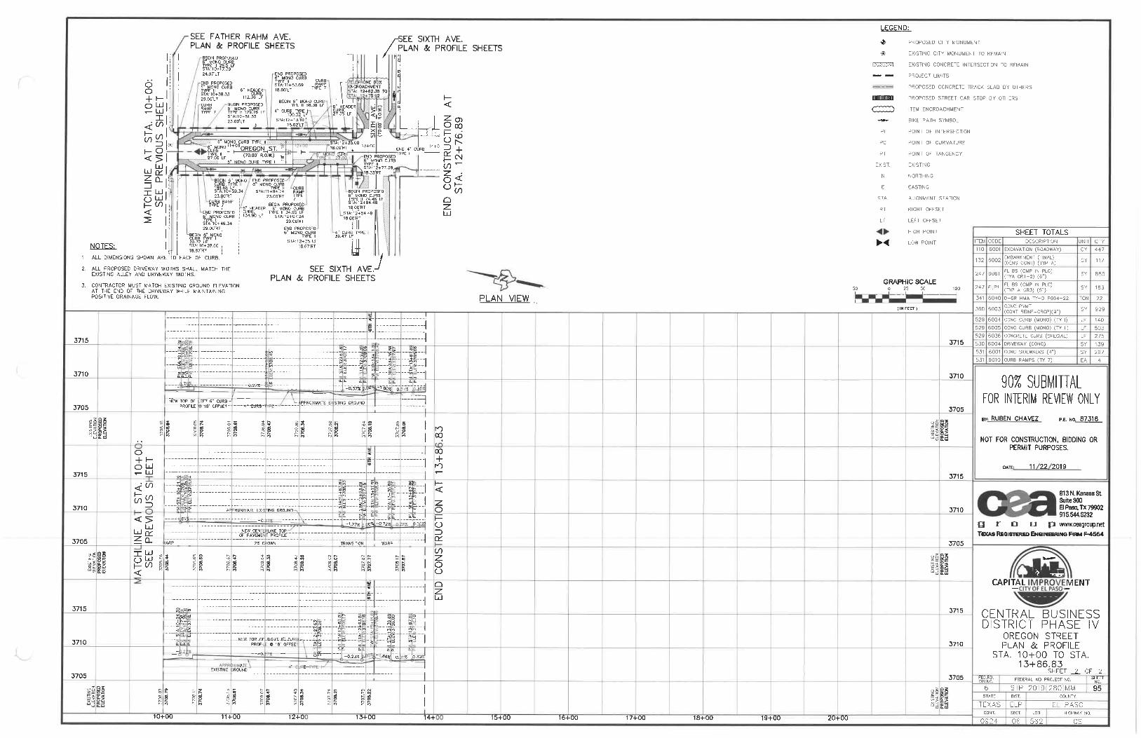
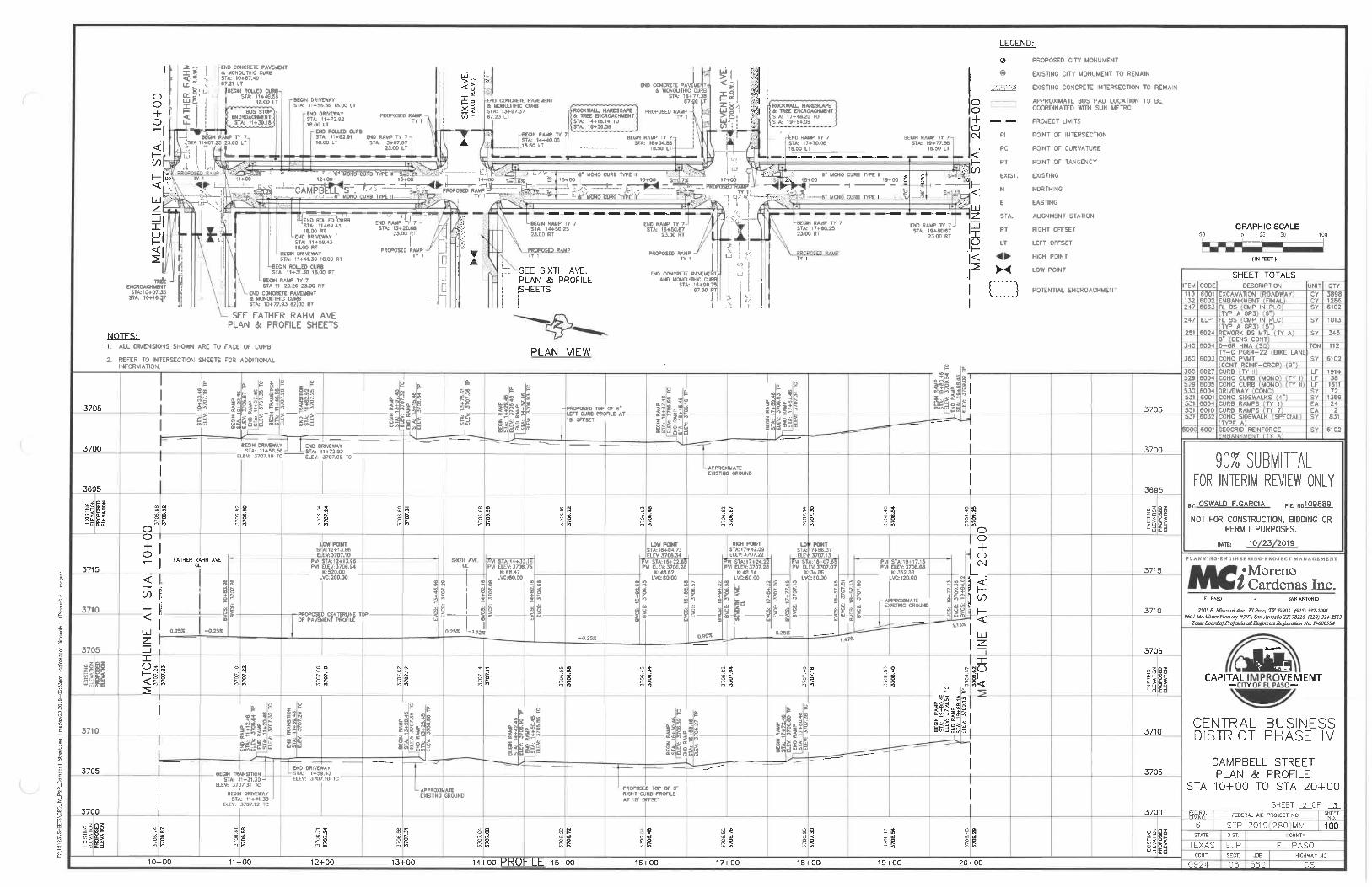
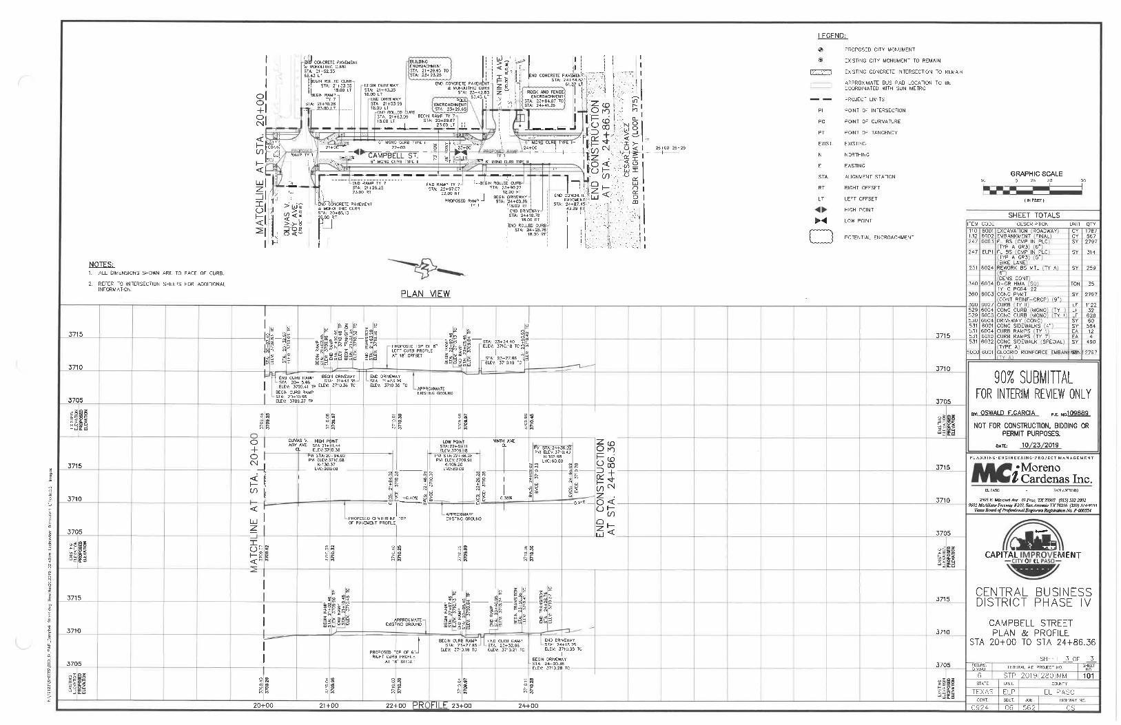
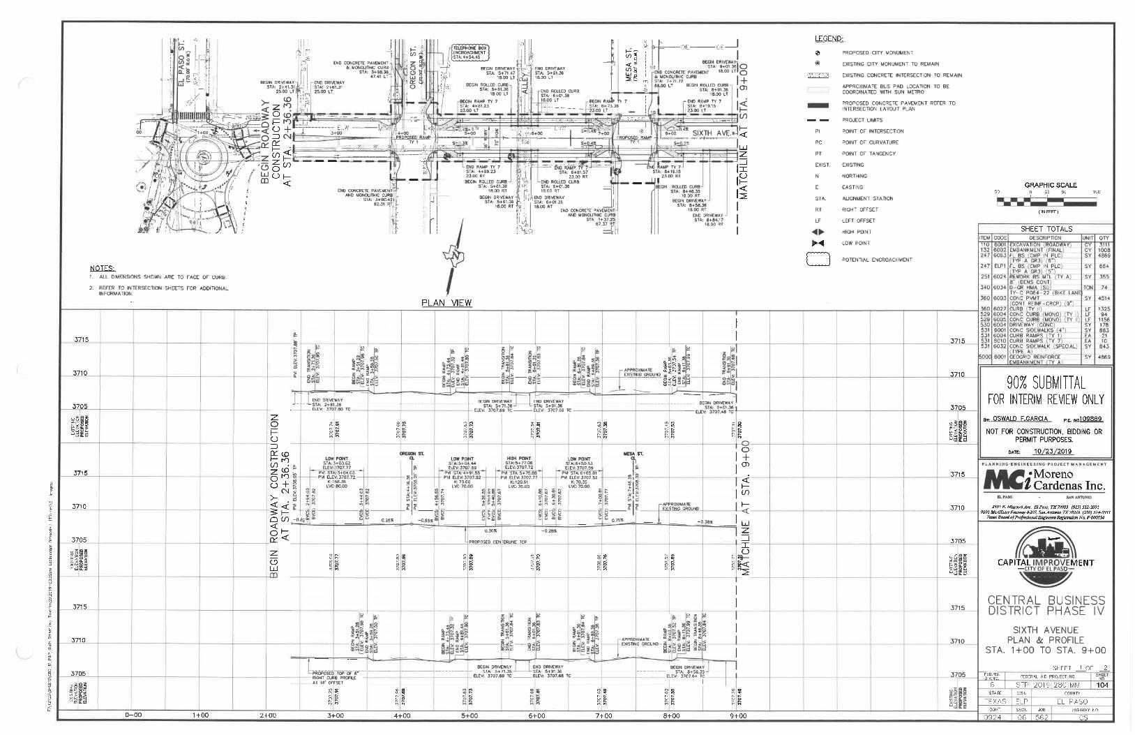
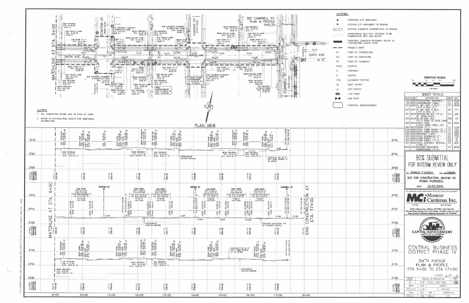
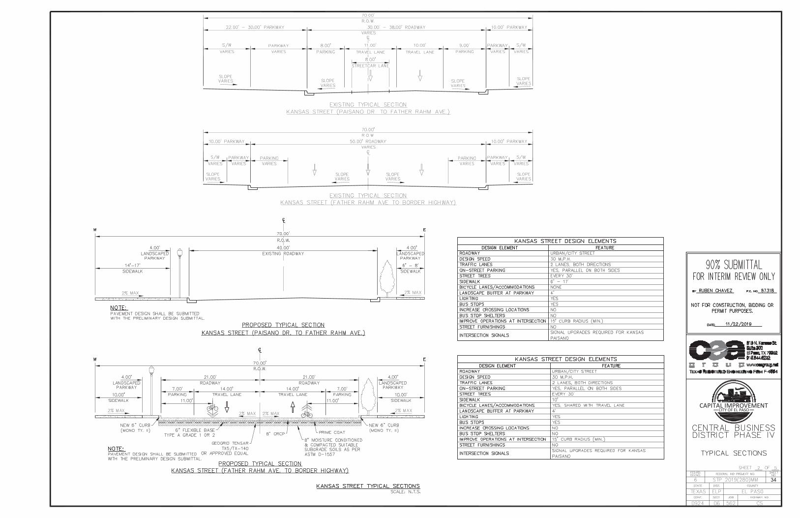
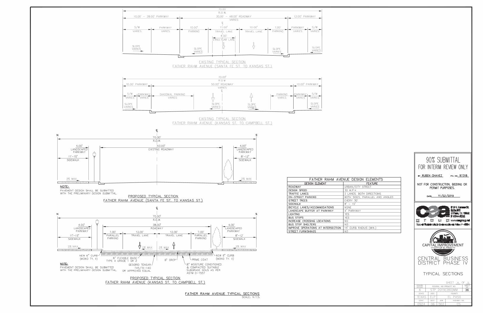
Appendix B: Plan and Profile and Typical Sections

GRAPHIC SCALE
( IN FEET )
CAPITAL IMPROVEMENTCITY OF EL PASO
94


CAPITAL IMPROVEMENTCITY OF EL PASO
33
CAPITAL IMPROVEMENTCITY OF EL PASO
34

CAPITAL IMPROVEMENTCITY OF EL PASO
35
CAPITAL IMPROVEMENTCITY OF EL PASO
36

CAPITAL IMPROVEMENTCITY OF EL PASO
37