Gulf of Mexico Alliance Master Mapping Plan. What do we mean by “mapping”? 1)Elevation:...
13
Gulf of Mexico Alliance Master Mapping Plan
-
date post
19-Dec-2015 -
Category
Documents
-
view
224 -
download
0
Transcript of Gulf of Mexico Alliance Master Mapping Plan. What do we mean by “mapping”? 1)Elevation:...

Gulf of Mexico AllianceMaster Mapping Plan

What do we mean by “mapping”?
1) Elevation: Topography, Bathymetry, Topo/Bathy, Beach Profiles and Ground Truth
2) Imagery and Basemaps: RGB Orthophotos, Multispectral and Hyperspectral Imagery, Underwater Photos and Video
3) Environment and Conservation: Classification, Landcover, SAV, Coral and Oyster Reefs, Wetlands, Fish Habitat, Bioregions, T/E and Invasive Species, and Restoration and Conservation
4) Geological and Geophysical: Marine Geology 5) Oceans and Coasts: Shoreline 6) Climate Change: Sea Level Rise, Storm Protection and
Resiliency

What are we trying to do?
Create a Gulf of Mexico Master Mapping Plan that1) Captures all the requirements for spatial data and
information products used by engineers, scientists, resource managers, planners, decision-makers, and emergency responders in the Gulf of Mexico Region
2) Identifies upcoming mapping activities by the breadth of federal, state, and local agencies, and academia collecting these types of data or generating these information products
3) Finds the gaps and develops a strategy to fill them in a resource- neutral or resource-depleted environment
What are we not doing1) Collecting any data2) Inventorying existing data3) Oceanographic observations

Important components
1) Base data layers2) Geographic extent3) Temporal resolution (routine and episodic)4) Derived products5) Specifications (spatial resolution and accuracy)6) Gap analysis7) Fiscal collaboration mechanisms8) Capability and capacity for mapping by federal, state, and
local agencies and academia

Final products?
1) Gulf of Mexico Master Mapping Plan document2) A web-based tool that geographically displays:
a) Mapping requirementsb) Upcoming mapping activities

Why is it worth the effort?
With visibility of all Gulf of Mexico mapping requirements and mapping activities we can identify opportunities for collaboration and standardization:
1) On data collection2) On data processing3) On product generation
For efficient use of our ever-dwindling mapping resources

Last year’s activities
Identified mapping requirements for the Gulf by reviewing1) Results of prior mapping requirements workshops2) Existing mapping requirements documents3) Results of “Gulf GAME” on-line survey collaboration4) Websites documenting agency/program requirements for
mapping
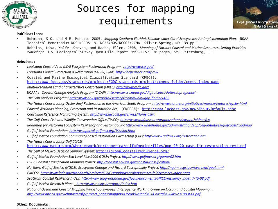
Sources for mapping requirementsPublications:• Rohmann, S.O. and M.E. Monaco. 2005. Mapping Southern Florida’s Shallow-water Coral Ecosystems: An Implementa tion Plan: NOAA Technical Memorandum NOS
NCCOS 19. NOAA/NOS/NCCOS/CCMA. Silver Spring, MD. 39 pp.• Robbins, Lisa, Wolfe, Steven, and Raabe, Ellen, 2008, Mapping of Florida’s Coastal and Marine Resources: Setting Priorities Workshop: U.S. Geological Survey Open-File
Report 2008-1157, 36 pages; St. Petersburg, FL.
Websites:• Louisiana Coastal Area (LCA) Ecosystem Restoration Program: http://www.lca.gov/• Louisiana Coastal Protection & Restoration (LACPR) Plan: http://lacpr.usace.army.mil/• Coastal and Marine Ecological Classification Standard (CMECS): http://www.fgdc.gov/standards/projects/FGDC-standards-projects/cmecs-folder/cmecs-index-page• Multi-Resolution Land Characteristics Consortium (MRLC): http://www.mrlc.gov/• NOAA’s Coastal Change Analysis Program (C-CAP): http://www.csc.noaa.gov/digitalcoast/data/ccapregional/• The Gap Analysis Program: http://www.nbii.gov/portal/server.pt/community/gap_home/1482• The Nature Conservancy Oyster Reef Restoration in the American South Program: http://www.nature.org/initiatives/marine/features/oyster.html• Coastal Wetlands Planning, Protection and Restoration Act, (CWPPRA): http://www.lacoast.gov/new/About/Default.aspx• Coastwide Reference Monitoring System: http://www.lacoast.gov/crms2/Home.aspx• The Gulf Coast Fish and Wildlife Conservation Office (FWCO): http://www.gulfbase.org/organization/view.php?oid=gcfco• Roadmap for Restoring Ecosystem Resiliency and Sustainability: http://www.whitehouse.gov/administration/eop/ceq/initiatives/gulfcoast/roadmap• Gulf of Mexico Foundation: http://webportal.gulfmex.org/Mission.html• Gulf of Mexico Foundation Community-based Restoration Partnership (CRP): http://www.gulfmex.org/restoration.htm• The Nature Conservancy Gulf 20/20: http://www.nature.org/wherewework/northamerica/gulfofmexico/files/gom_20_20_case_for_restoration_rev1.pdf• The Gulf of Mexico Decision Support System: http://globalcoastalresilience.org/• Gulf of Mexico Foundation Sea Level Rise 2009 GOMA Project: http://www.gulfmex.org/goma/02.htm• USGS Coastal Classification Mapping Project: http://coastal.er.usgs.gov/coastal-classification/• Northern Gulf of Mexico (NGOM) Ecosystem Change and Hazard Susceptibility Project: http://ngom.usgs.gov/overview/goal.html• CMECS: http://www.fgdc.gov/standards/projects/FGDC-standards-projects/cmecs-folder/cmecs-index-page • SeaGrant Coastal Resiliency Index: http://www.seagrant.noaa.gov/focus/documents/HRCC/resiliency_index_7-15-08.pdf• Gulf of Mexico Research Plan: http://www.masgc.org/gmrp/index.htm• National Ocean and Coastal Mapping Workshop Synopsis, Interagency Working Group on Ocean and Coastal Mapping:
http://www.opc.ca.gov/webmaster/ftp/project_pages/mapping/Ocean%20and%20Coastal%20M%231BD3F41.pdf
Other Documents:• Scientific Benefits from Bottom Mapping• Mississippi Coastal Improvements Plan - The Comprehensive Barrier Island Restoration Plan Long-term Monitoring and Adaptive Management Plan• USACE Specifications for NCMP Survey Activities

Geospatial One-Stop categories
• Administrative and Political• Agriculture and Farming • Atmosphere and Climate• Biology and Ecology• Business and Economic• Cadastral• Cultural, Society and Demographic• Elevation and Derived Products• Environment and Conservation
• Geological and Geophysical• Human Health and Disease• Imagery and Basemaps • Inland Water Resources• Locations and Geodetic Networks• Oceans and Coasts• Transportation Networks• Utilities and Communication• Climate Change• Oil Spill
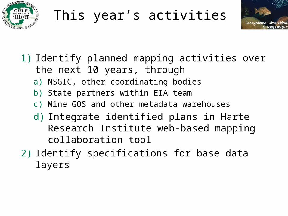
This year’s activities
1) Identify planned mapping activities over the next 10 years, througha) NSGIC, other coordinating bodiesb) State partners within EIA teamc) Mine GOS and other metadata warehouses
d) Integrate identified plans in Harte Research Institute web-based mapping collaboration tool
2) Identify specifications for base data layers

Relationship to the national plan
The Ocean and Coastal Mapping Integration Act calls for development of a coordinated and comprehensive Federal ocean and coastal mapping plan
The Gulf of Mexico Master Mapping Plan will be one avenue for Gulf states to provide input to the national plan