
GPS and Worldwide GNSS Interoperability NaviForum Shanghai 2010 Shanghai, China 01-02 September 2010...
15
GPS and Worldwide GNSS Interoperability NaviForum Shanghai 2010 Shanghai, China 01-02 September 2010 Jeffrey Auerbach Advisor on GNSS Affairs Office of Space and Advanced Technology U.S. Department of State
-
Upload
chase-wiggin -
Category
Documents
-
view
216 -
download
1
Transcript of GPS and Worldwide GNSS Interoperability NaviForum Shanghai 2010 Shanghai, China 01-02 September 2010...
GPS and Worldwide GNSS Interoperability
NaviForum Shanghai 2010
Shanghai, China
01-02 September 2010
Jeffrey AuerbachAdvisor on GNSS Affairs
Office of Space and Advanced TechnologyU.S. Department of State

NaviForum Shanghai 2010 – 01-02 September 2010
• Provide civil GPS services, free of direct user charges– Available on a continuous, worldwide basis
– Maintain constellation consistent with published performance standards and interface specifications
– Foreign PNT services may be used to augment/strengthen GPS
• Encourage global compatibility and interoperability with GPS
• Promote transparency in civil service provision
• Enable market access to industry
• Support international activities to detect and mitigate harmful interference
2
New U.S. National Space Policy
GUIDELINE ON GPS: Maintain leadership in the service, provision, and use of GNSS

NaviForum Shanghai 2010 – 01-02 September 2010
Planned GNSS
• Global Constellations– GPS (24+)
– GLONASS (30)
– Galileo (27+3)
– Compass (27+3 IGSO + 5 GEO)
– GINS - Global Indian Navigation System (24)
• Regional Constellations– QZSS (3)
– IRNSS (7)
• Satellite-Based Augmentations– WAAS (3)
– MSAS (2)
– EGNOS (3)
– GAGAN (2)
– SDCM (2)
3

NaviForum Shanghai 2010 – 01-02 September 2010
U.S. Objectives in Working with Other GNSS Service Providers
• Ensure compatibility ― ability of U.S. and non-U.S. space-based PNT services to be used separately or together without interfering with each individual service or signal– Radio frequency compatibility– Spectral separation between M-code and other signals
• Achieve interoperability – ability of civil U.S. and non-U.S. space-based PNT services to be used together to provide the user better capabilities than would be achieved by relying solely on one service or signal– Primary focus on the common L1C and L5 signals
• Ensure a level playing field in the global marketplacePursue through Bilateral and
Multilateral Cooperation4
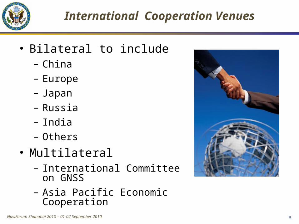
NaviForum Shanghai 2010 – 01-02 September 2010 5
• Bilateral to include– China– Europe– Japan – Russia– India– Others
• Multilateral– International Committee on
GNSS– Asia Pacific Economic
Cooperation
International Cooperation Venues
NaviForum Shanghai 2010 – 01-02 September 2010
U.S. Bilateral Cooperation with China
• Operator-to-operator coordination under ITU auspices– Geneva, Switzerland - June 2007
– Xian, China - May 2008
– Geneva, Switzerland - October 2008
– Hainan, China – December 2009
– Next meeting scheduled for Chengdu, China in September 2010
• U.S. is interested in engaging in further bilateral discussions with China on civil GNSS services and applications
6

NaviForum Shanghai 2010 – 01-02 September 2010
U.S. - Europe Bilateral Cooperation
• 2004 U.S.-EU agreement provides foundation for cooperation
• Four working groups were set up under the agreement:– Technical, trade, next generation systems and security
working groups
• Improved new civil signal (MBOC) adopted in July 2007
• Technical working group meetings, May 2010 in Brussels
Oct. 22, 2008 , EU-U.S. Plenary delegations meeting under the auspices of the GPS-Galileo Cooperation Agreement
Signing ceremony for GPS-Galileo Cooperation Joint Statement, Oct. 23,
2008(Michel Bosco, European Commission; Kenneth Hodgkins, U.S. Department of
State)7

NaviForum Shanghai 2010 – 01-02 September 2010 8
Additional Bilateral Cooperation
• U.S.-Japan Joint Statement on GPS Cooperation in 1998– Bilateral plenary meetings held annually – Most recent was
in January 2010 in Washington, DC
– Japan’s Quasi Zenith Satellite System (QZSS) designed to be fully compatible and highly interoperable with GPS
• U.S.-Russia Joint Statement issued in December 2004– Negotiations for a U.S.-Russia Agreement on satellite
navigation cooperation underway since late 2005
– Working Groups on compatibility/interoperability, search and rescue
• U.S.-India Joint Statement on GNSS Cooperation in 2007
– Technical Meetings focused on GPS-India Regional Navigation Satellite System (IRNSS) compatibility and interoperability held in 2008 and 2009 8

9
• Emerged from 3rd UN Conference on the Exploration and Peaceful Uses of Outer Space July 1999– Promote the use of GNSS and its integration into
infrastructures, particularly in developing countries– Encourage compatibility and interoperability among
global and regional systems
• Members include:– GNSS Providers (U.S., EU, Russia, China, India,
Japan)– Other Member States of the United Nations– International organizations/associations
http://www.unoosa.org/oosa/en/SAP/gnss/icg.html
International Committee on Global Navigation Satellite
Systems (ICG)

NaviForum Shanghai 2010 – 01-02 September 2010
International Committee on Global Navigation Satellite
Systems (ICG)• U.S. strongly supports ICG activities
- U.S. hosted ICG-3 at Pasadena, California in 2008
- U.S. contributes to UNOOSA to support ICG meetings and activities
• U.S. pleased with progress made at ICG-4 at St. Petersburg, Russia
- Adoption of new principle on transparency for open services: Every provider should publish documentation that describes signal and system information, policies of provision and minimum levels of performance for its open services
• ICG-5 to be held in October 2010 in Turin, Italy
10

NaviForum Shanghai 2010 – 01-02 September 2010 11
APEC GNSS Implementation Team
• Established by the APEC Transportation Working Group in 2000
• Mission is to promote implementation of regional GNSS augmentation systems to enhance inter-modal transportation, by:– Expediting the implementation of GNSS in all economies– Advancing the development of an Asia Pacific approach to GNSS
implementation to encourage cooperation that will enhance safety and efficiency
– Seeking from all economies the expertise to ensure the success of GNSS implementation
– Cooperating with non-APEC organizations as necessary to provide for seamless implementation
• U.S. hosted the 14th APEC GIT meeting 21-24 June 2010 in Seattle, WA
• Next meeting tentatively scheduled for Brisbane, Australia in May 2011
11

NaviForum Shanghai 2010 – 01-02 September 2010
Summary
• International cooperation in the context of National Space Policy and Space-Based PNT Policy is a priority for the U.S. Government
– Compatibility and interoperability very important
• The U.S. is actively engaged in bilateral, and multi-lateral cooperation on satellite navigation issues
12

NaviForum Shanghai 2010 – 01-02 September 2010
Contact Information
Jeffrey AuerbachAdvisor on GNSS Affairs
Office of Space and Advanced TechnologyU.S. Department of StateOES/SAT, SA-23, Suite 410Washington, D.C. 20520+1.202.663.2388 (office)[email protected]
http://www.state.gov/g/oes/sat/http://pnt.gov/
13

Backup Slides

NaviForum Shanghai 2010 – 01-02 September 2010
Current International Signal Plans
1560 1570 1580 1590 1600 16101170 1180 1190 1200 1210 1220 1230 1240 1250 1260 1270 1280 1290 1300 Frequency (MHz)
1560 1570 1580 1590 1600 16101170 1180 1190 1200 1210 1220 1230 1240 1250 1260 1270 1280 1290 1300 Frequency (MHz)
FutureCDMA signal
1560 1570 1580 1590 1600 16101170 1180 1190 1200 1210 1220 1230 1240 1250 1260 1270 1280 1290 1300 Frequency (MHz)
1560 1570 1580 1590 1600 16101170 1180 1190 1200 1210 1220 1230 1240 1250 1260 1270 1280 1290 1300 Frequency (MHz)
1560 1570 1580 1590 1600 16101170 1180 1190 1200 1210 1220 1230 1240 1250 1260 1270 1280 1290 1300 Frequency (MHz)
1560 1570 1580 1590 1600 16101170 1180 1190 1200 1210 1220 1230 1240 1250 1260 1270 1280 1290 1300 Frequency (MHz)
1560 1570 1580 1590 1600 16101170 1180 1190 1200 1210 1220 1230 1240 1250 1260 1270 1280 1290 1300 Frequency (MHz)
SBAS(US, Europe
India, Japan)
QZSS(Japan)
IRNSS/GINS(India)
COMPASS(China)
Galileo(Europe)
GLONASS(Russia)
GPS(US)
L1L5 L2
Compass & IRNSSIn S-band
1560 1570 1580 1590 1600 16101170 1180 1190 1200 1210 1220 1230 1240 1250 1260 1270 1280 1290 1300 Frequency (MHz)
Note: GINS modulations TBD
15


