GIS System for Enumeration Areas Planning CSB of Latvia in cooperation with State Land Service of...
15
GIS System for Enumeration Areas Planning CSB of Latvia in cooperation with State Land Service of Latvia European Forum for Geostatistics 2008 Workshop Bled, Slovenia October 1 – 3, 2008
-
date post
21-Dec-2015 -
Category
Documents
-
view
216 -
download
2
Transcript of GIS System for Enumeration Areas Planning CSB of Latvia in cooperation with State Land Service of...

GIS Systemfor
Enumeration Areas Planning
CSB of Latvia in cooperation with State Land Service of Latvia
European Forum for Geostatistics 2008 WorkshopBled, Slovenia
October 1 – 3, 2008

2
PROBLEM !
• Forthcoming Population Census 2011 in Latvia will be carried out in a classical way but using modern technology
• 2000 enumerators equipped with laptops will collect census data within 2000 enumeration areas
• How to split the territory of Latvia in 2000 enumeration areas keeping in each area an exact number of people(~1150 ) and avoiding natural obstacles (rivers, railways, motorways...)within the areas???

3
LATVIA
BASIC STATISTICAL INDICATORS:
Total area – 64.6 thousand sq.km
Population – 2.3 million
Districts – 26
Municipalities – 530
21
23 11
24 25
23 30
21
20 21
24 16
24
25 15
17 16 18
19
20 13
19
29 18
14
24

4
SOLUTION!
• Use GIS developed in accordance with the requirements elaborated by Experts of CSB• Use standard commercial GIS tools for development• Use data from existing information sources (administrative registers listed below) available and integrate it within the System
Population Register State Address Register (adress data and administrative boundaries map)Real estate state cadastre information system (Building Part and Cadastral Map)State Maps with different scale for rural(10000) and urban(2000) areas

5
Main requirementsfor
the GIS development

6
General requirements
• Multiuser system with user friendly interface
• System should be built up on the bases of GRID technology(definition of different cell size to be possible)
• System should Ensure: Development , maintenance, upgrade of enumeration areas
for population census as well as for the samples creation for social statistics needs,
Quick recalculation of the areas on the user demand (in case of density changes)
Linking one or several areas to an enumerator/interviewer Visual analysis of the enumeration/survey process

7
System components functionality

8
Addresses
• List of Addresses should be created and connected to the address points on the map
• Information from administrative sources to be used
• Address information from the list should appear by clicking to each adress point on the map
• It should contain information for the address points on the map (Name, personal ID, territory code, address code, Building ID code, status etc.)
• Filtering by each address field from the address list should be enabled

9
• The territory consisting from one or several grid cells which involves the set of addresses to be linked to one enumerator should be
calculated taking into account requirements as follows:
Ensure automated grouping of the grid units thus making enumeration areas taking into account of natural obstacles like rivers, motorways, railways
Administrative boundaries
One of two – exceeding of enumeration area limitations or population number limit, dependently which happens first,
Warning message on the screen should be generated in case when number of people living in one building exceeds population number limit of the enumeration area
Enumeration areas (1)

10
Enumeration areas (2)
• System software should ensure both - transition from Vector map to Grid and vice versa
• Automatical assigning of the enumeration areas to particullar enumerators should be ensured taking into account address of the each exact enumerator
• Enumeration areas would be possible to reassign to other enumerator by drag and drop on the map
• Particular addresses can be taken out of one enumeration area and put into other area
• Particular addresses could be assigned to a particular enumerators no mater in which enumeration area the address was

11
• Functionality of the component have to ensure visual presenting of information how samples made covers the enumeration areas. Sample coverage analysis is essential for social statistics sampling process
• Data must be viewable by using web browser thus not limiting number of system users to some desktop software
• By taking collection statuses from data enumerators fieldwork systems the System should show them on the map
Visualisation
12
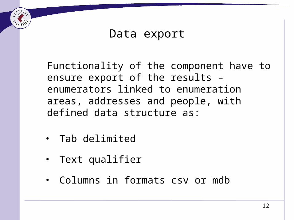
Functionality of the component have to ensure export of the results – enumerators linked to enumeration areas, addresses and people, with defined data structure as:
• Tab delimited
• Text qualifier
• Columns in formats csv or mdb
Data export

13
Work with maps
• System have to ensure automatic preparation of maps containing information for each of enumerators: address points on the map, address details by clicking on the point.
• Zooming possibilities
• Maps should be saved as PDF files
• Maps should be printable from the screens
• Enumerator/interviewer have to be able add the current status of interview for each address on the map(new,disrupted, completed, ...)
• To have a possibility to add or dellete informative layers on the map

14
System Platform
• Intergraph Geomedia
• Microsoft SQL server 2005

15
THANK YOU FOR ATTENTION!
• Karlis Zeila - Vice President, CSB of Latvia
• Signe Rudzite – Deputy Director, Department of Cadastre and Registers, SLS
of Latvia