Georgia rivers
21
Chattahoochee, Oconee, Ocmulgee, Altamaha, Flint, Savannah, and St. Mary’s By: Teresa Williams 2012
Transcript of Georgia rivers

Chattahoochee, Oconee, Ocmulgee, Altamaha, Flint, Savannah, and St. Mary’s
By: Teresa Williams 2012

Thank you for buying my packet. I hope you and your students enjoy using it in your classroom. If you like this check out my other Georgia items that I have in my store.
http://www.teacherspayteachers.com/Store/Teresa-Williams-8
http://www.teachersnotebook.com/shop/teresawilliams
Don’t forget to become a follower to get updates on new items!!
If you have any questions or comments please feel free to contact me via e-mail: [email protected], leave a message on my TpT store, or on my blog: williams2ndgradepgipen.blogspot.com Don’t forget to follow my blog for ideas and freebies!!
Please take the time to leave me a rating and feedback after downloading the item.
Graphics: Alice Smith at digiscrapkits.com, mycutegraphics.com
Thanks again!! Teresa
Copyright©2012 Teresa Williams All rights reserved by the author. Permission to copy for classroom only. Electronic distribution limited to classroom use only.

©Teresa Williams 2012
©Teresa Williams 2012

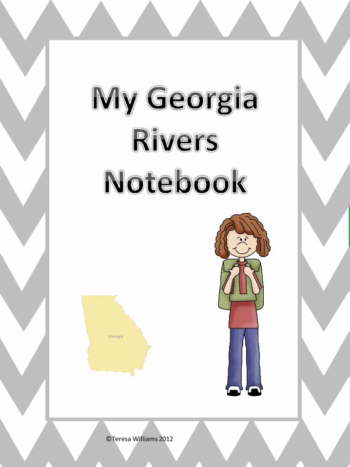
This packet includes: 7- Reading Comprehension sheets that tell about Georgia’s main rivers. 1- feature analysis chart comparing and contrasting Georgia’s 7 main rivers Georgia Rivers “Flow” Game with directions and recording sheet. 2- Georgia Rivers Notebook covers 1- girl; 1-boy 1- set of numbers for the “Flow” game This packet can be used several ways. It can be used as individual handouts as you talk about each river, it can be made into a notebook(place all the reading comprehension sheets and the feature analysis sheet in the notebook to use during the lesson about Georgia rivers), they can be used in a small group, they can be used as reading/social studies centers, whole group using a document camera with all students answering the questions, or as a needs based reading group that is having trouble with comprehension.
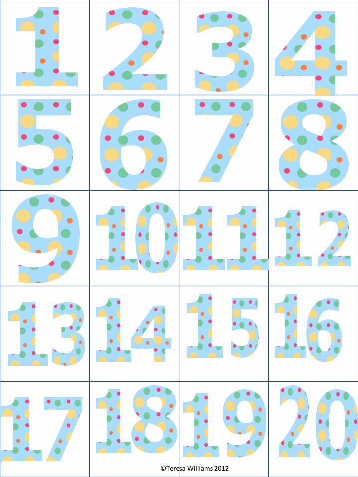
The Flow game cards should be printed on cardstock and laminated for durability.
©Teresa Williams 2012
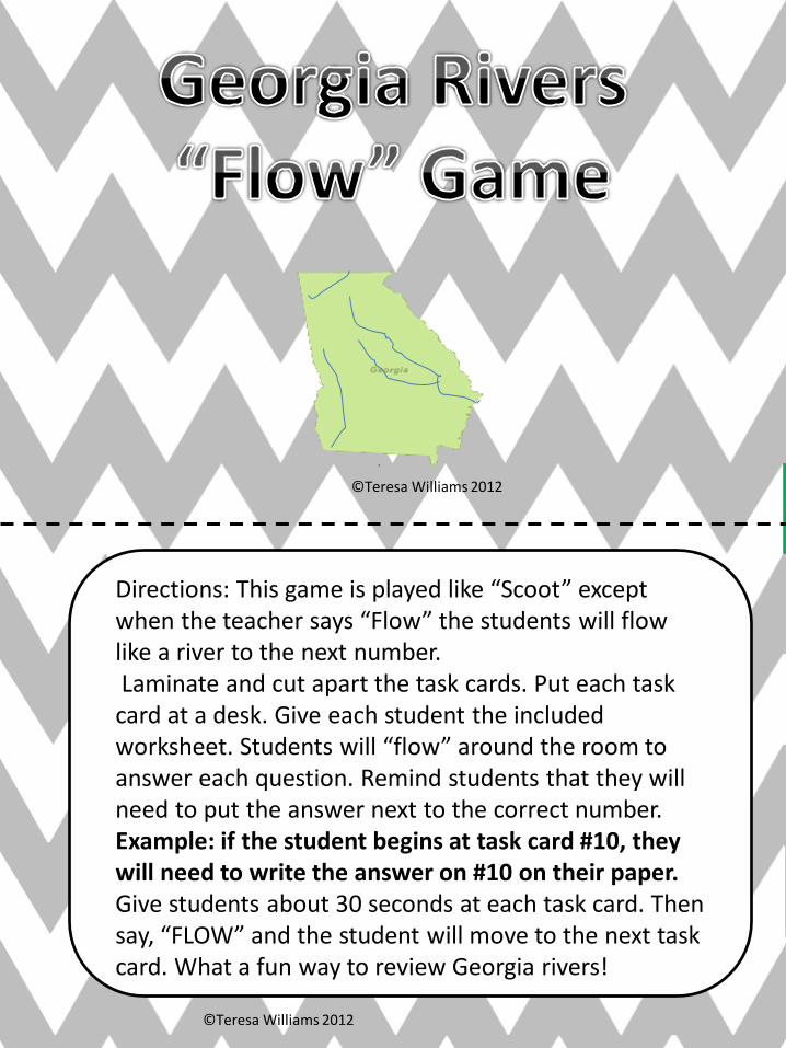
Directions: This game is played like “Scoot” except when the teacher says “Flow” the students will flow like a river to the next number. Laminate and cut apart the task cards. Put each task card at a desk. Give each student the included worksheet. Students will “flow” around the room to answer each question. Remind students that they will need to put the answer next to the correct number. Example: if the student begins at task card #10, they will need to write the answer on #10 on their paper. Give students about 30 seconds at each task card. Then say, “FLOW” and the student will move to the next task card. What a fun way to review Georgia rivers!
©Teresa Williams 2012
©Teresa Williams 2012

1.
The _________ River is the main source of water for over half of Georgia’s population.
A. Ocmulgee B. Savannah C. Chattahoochee
2.
_________River is named after a Spanish mission.
A. Ocmulgee B. Oconee C. St. Marys
3.
The Creek Indian name for the river was Thronateeska, which meant flint-picking-up place.
A. Oconee B. Ocmulgee C. Flint
4.
The _________River forms most of the border between the states of South Carolina and Georgia.
A. Flint B. Chattahoochee C. Savannah

5.
A. Ocmulgee B. Altamaha C. Chattahoochee
6.
A. Ocmulgee B. Oconee C. St. Marys
7.
A. Oconee B. Ocmulgee C. Flint
8.
A. Altamaha B. Chattahoochee C. Savannah
It is the largest river in Georgia.
It is the home to a number of state-protected species such as the Robust Redhorse, a fish with rose colored fins and a fleshy mouth
________comes from the Creek word that means boiling or bubbling water.
Eels taken from the river are shipped to Europe where they are eaten and considered a treat.

9.
A. Ocmulgee B. Altamaha C. Chattahoochee
10.
A. Ocmulgee B. Savannah C. St. Marys
11.
A. Oconee B. Ocmulgee C. St. Marys
12.
A. Flint B. Chattahoochee C. Savannah
_________ is Creek Indian for “flowered stones”.
The __________River begins as a stream in the Blue Ridge Mountains.
_________River begins as a tiny stream in the Okefenokee Swamp and forms part of the border between Georgia and Florida.
The ________ River begins at Atlanta Hartsfield-Jackson International Airport with the upper portion of the river flowing through the Georgia Piedmont region.

13.
A. Ocmulgee B. Altamaha C. Chattahoochee
Circle the answer.
14.
A. Ocmulgee B. Savannah C. St. Marys
15.
A. Oconee B. Ocmulgee C. St. Marys
16.
A. Flint B. Chattahoochee C. Oconee
The river was named for a Yamassee Indian chief, Alatamaha.
________means “River of the Shawnees.”
The Indian name for the river is Thalthlothaguphka, which means rotten fish.
The _______ got its name from a Creek settlement called Oconee Old Town.

17.
A. Ocmulgee B. Oconee C. Chattahoochee
Circle the answer.
18.
The _____ river is known for its catfish and bass.
A. Ocmulgee B. Savannah C. St. Marys
19.
A. Oconee B. Ocmulgee C. Flint
20.
A. Flint B. Chattahoochee C. Altamaha
_________ Old Town, which was a Creek settlement transferred its name to the river.
The _______ River is one of only 42 U.S. rivers with 124 miles or more of unimpeded(not slowed) flow.
The _________is viewed as the most important ecosystems in the region.

1. 2. 3. 4.
5. 6. 7. 8.
9. 10. 11. 12.
13. 14. 15. 16.
17. 18. 19. 20.
©Teresa Williams 2012

Comparing and Contrasting Georgia’s Rivers
River named by Indians
used for recreation
Important In GA history
flows into the ocean
Chattahoochee
Oconee
Ocmulgee
Altamaha
Flint
Savannah
St. Marys
©Te
resa
Will
iam
s 2
01
2

Chattahoochee River
The Chattahoochee River begins in Union County, in the Blue Ridge Mountains of Northeast Georgia. It flows 430 miles through Georgia. It is joined by the Flint River in Southwest Georgia. The Chattahoochee River is the main source of water for over half of Georgia’s population. Chattahoochee is Creek Indian for “flowered stones”. The word chatto, which means stone, and the word hooche which means flowered or designs like flowers. Chattahoochee Old Town, which was a Creek settlement transferred its name to the river.
1. Underline the sentence that tells how far the Chattahoochee flows through Georgia.
2. What river joins the Chattahoochee in Southwest Georgia? ______________________________________________ 3. Complete each sentence. The word _______________ means stone. The word _______________ means flowered or designs like flowers. 4. Draw a box around the town that transferred its name to the river. 5. Explain why the Chattahoochee River is so important to Georgia. ____________________________________________________ ____________________________________________________ 6. What group of Indians gave the Chattahoochee its name? ______________________________________________
©Teresa Williams 2012

Oconee River
The Oconee River begins in Hall County in Northeast Georgia. The North and Middle Oconee rivers join to form the Oconee River 6 miles south of Athens, Georgia. Then the river flows south to join the Ocmulgee and form the Altamaha River which is the largest river in Georgia. It is the home to a number of state-protected species such as the Robust Redhorse, a fish with rose colored fins and a fleshy mouth. A state-protected species means that it can’t be hunted, caught, trapped, or harmed in any way. The Oconee got its name from a Creek settlement called Oconee Old Town, but the meaning of the word Oconee is unknown.
1. Where does the Oconee River begin? ________________________________________________ 2. What river does the Oconee join to form the Altamaha river? ________________________________________________ 3. What does state-protected mean? _________________________________________________ 4. Draw a box around the name of the river that is the largest in Georgia. 5. Name the fish that lives in the Oconee River that is protected by the
state. ___________________________________________ 6. How did the Oconee River get its name? _______________________________________________ 7. Draw a picture of what you think the Robust Redhorse looks like.
©Teresa Williams 2012
Name: __________________________________________

Ocmulgee River
The Ocmulgee River is formed in North Central Georgia just southeast of Atlanta. The Ocmulgee River flows in a generally narrow valley over rocky shoals, which are shallow areas made of sand, for about 43 miles before falling abruptly. After it falls it then enters the Coastal Plain and then becomes a gentle river. The gentle part of the river makes it a popular place to go canoeing. It is also used for fishing and is known for its catfish and bass. Ocmulgee comes from the Creek word that means boiling or bubbling water. It is the combination of “oki”, which means water, and “mulgis”, which means bubbling or boiling.
1. Underline the sentence that tells where the Ocmulgee River is formed.
2. What is a shoal? ______________________________________ ___________________________________________________ 3. Draw a box around the group of Indians that gave the river its
name. 4. What does Ocmulgee mean in Creek Indian language? ___________________________________________________ 5. Name some things you can do on the river to have fun. ___________________________________________________ 6. What does “oki” mean? _______________________________ 7. What does “mulgis” mean?_____________________________
©Teresa Williams 2012
Name: _____________________________
Altamaha River
The Altamaha River is formed where the Ocmulgee and the Oconee Rivers merge. It is the largest river in Georgia. It could be called the most important river as far as Georgia history is concerned. Along this river is where many of the large cotton plantations were located. Steamboats traveled up and down the river carrying travelers and items to be sold. The Altamaha is viewed as the most important ecosystems in the region. Many different wildlife make their home on this river. Otters, turtles, alligators, and a variety of birds are some of the animals that live on the Altamaha River. Eels taken from the river are shipped to Europe where they are eaten and considered a treat. The river was named for a Yamassee Indian chief, Altamaha.
1. What do you think the word merge means?___________________ ______________________________________________________ 2. Why is the river important in Georgia history? ________________ _____________________________________________________ 3. Draw a line under the type of transportation that was used on the
river long ago. 4. What was the Indian chiefs name? ________________________ 5. Name 1 way that eels are used in Europe.___________________ ____________________________________________________ 6. Name 3 animals that can be found on the river. ______________ ____________________________________________________
©Teresa Williams 2012

Flint River
The Flint River begins at Atlanta Hartsfield-Jackson International Airport with the upper portion of the river flowing through the Georgia Piedmont region. Below the Fall Line( where waterfalls usually begin) the river flows through soft, sandy limestone that make up the Coastal Plain. For 200 miles the river is free flowing and wild. The Flint River is one of only 42 U.S. rivers with 124 miles or more of unimpeded(not slowed) flow. The Creek Indian name for the river was Thronateeska, which meant flint-picking-up place. Flint is a hard form of rock and was used for making arrowheads or spear points. It was highly valued. The name comes from the Creek word ronoto, which means flint, and hachi, which means stream.
1. Underline the sentence that tells where the river begins. 2. What is a Fall Line? _____________________________________ 3. What region does the upper portion of the river flow through? _____________________________________________________ 4. Draw a box around the Creek name for the Flint river. 5. What is flint? __________________________________________ 6. Name 2 ways the Creek Indians used flint. ___________________ _____________________________________________________ 7. Why do you think the Creek Indians valued flint so much? _____________________________________________________
Name: _________________________________________
©Teresa Williams 2012

Savannah River
The Savannah River begins as a stream in the Blue Ridge Mountains. The Savannah River forms most of the border between the states of South Carolina and Georgia. It is around 301 miles long. Two major cities are located along the river, Savannah, Georgia, and Augusta, Georgia. They were the central part of English Settlements in early Georgia history. The river eventually flows into the Atlantic Ocean. In 1733, James Oglethorpe built the first Georgia settlement in Savannah. Savannah means “River of the Shawnees,” named after the remaining part of the Shawnee Indian tribe that lived on the river in early Colonial days. Today it is one of Georgia’s largest and longest waterways.
1. Underline the sentence that tells where the river begins. 2. The Savannah river forms the border of what 2 states. _________________________________________________ 3. How long is the river? Draw a box around the answer. 4. Name 2 major cities located on the river. ________________ _________________________________________________ 5. Who built the first Georgia settlement? _________________ _________________________________________________ 6. Why do you think the first settlement was formed near the
Savannah River? ____________________________________ __________________________________________________
Name: ___________________________ ©Teresa Williams 2012

St. Marys River St. Marys River begins as a tiny stream in the Okefenokee Swamp and forms part of the border between Georgia and Florida. It empties into the Atlantic Ocean. The river is used mainly for recreation and sightseeing purposes. Camping, canoeing, fishing, and boating are a few of the ways that the river is used for recreation. More that 65 different species of fish have been identified in the river. St. Marys River is named after a Spanish mission, Santa Maria de Guadeloupe, located near the river. The river was home to early Spanish settlers and it has been said that it was the location for some pirate activity. The Indian name for the river is Thalthlothaguphka, which means rotten fish.
1. Underline the sentence that tells how and where the
river begins. 2. The river forms part of the borders of ______________ and _________________________________________. 3. Draw a box around where the river empties. 4. Name 2 ways the river is used. ____________________ _____________________________________________ 5. How many species of fish can be found in the river? _____________________________________________ 6. What is the river named after? ____________________ _____________________________________________
Name: ________________________________________ ©Teresa Williams 2012