Environmental Engineering Seminar...
1
Environmental Engineering Seminar Series As we enter the 21st century, improved hydrologic monitoring and prediction systems will be needed for at least three reasons: 1) increasing population, production and consumption will place greater demands on scarce hydrologic resources, 2) rising air temperatures will amplify the effects of naturally occurring droughts and 3) increased precipitation over the tropical oceans will act to intensify climate extremes like El Nino and La Nina. To address these needs the UC Santa Barbara Climate Hazards Group (CHG) and USGS partners are working to better understand, monitor and predict hydrologic extremes, with a special focus on droughts Africa. In this talk I sketch out the science and strategy underlying CHG efforts to develop improved climate services for drought early warning. Improved prediction begins with a 'whack a mole' conception of oceanic climate change. Rather than expect a homogeneous warming of the oceans, per the average derived from ensembles of climate change simulations, we anticipate changes similar to just one of these simulations: oceanic warming arising through moving pockets of very warm sea surface temperatures. Warming as a pervasive isotropic field is an emergent, but artificial, product of averaging across many individual simulations. What we will likely experience, rather, are isolated pockets of very warm SSTs as more energy enters the existing climate system. Using long atmospheric GCM simulations, I suggest that this ontological perspective has an important implication: both El Nino and La Nina events are likely to become more intense, as measured by the intensity of their diabatic forcing (precipitation). These increases in diabatic forcing will create opportunities for prediction. Turning next to monitoring, I describe our Climate Hazards group Infrared Precipitation with Stations (CHIRPS) precipitation data set, a 1981-present archive similar to PERSIANN. I also briefly describe our associated high-resolution precipitation climatology, and a 1900-2014 gridded rainfall data product for East Africa (the Centennial Trends data set). Focusing on 2015/16, we explore applications of CHIRPS to the recent extreme droughts in Ethiopia and Southern Africa. I conclude by briefly describing our new work on a Climate Hazards group Infrared Temperature with Stations (CHIRTS) 2 meter Tmax data set. Using the same 1981-present geostationary Infrared temperature observations as CHIRPS and PERSIANN, the CHIRT algorithm attempts to screen out clouds, and derive reasonable estimates of daily and monthly surface Tmax values. A final 'dream scheme' highlights where we might be able to go, as a community, to put together enhanced, integrated and applied hydrologic warming systems. Friday, April 15th, 2016 MDEA 1:30PM - 2:30PM Watching Climate Change & Tracking Extremes From Space Presented By: Chris Funk, Ph.D. Senior Research Geographer US Geological Survey (USGS) UC Santa Barbara (UCSB) Questions? - [email protected] - (949) 824-7548 Since 1997, Dr. Funk has been a key member of the USGS/UC Santa Barbara (UCSB) climate science team, focusing on developing new data sets, forecast strategies and drought monitoring techniques for the US Agency for International Development’s Famine Early Warning System Network. In collaboration with managers from the EROS Early Warning and Environmental Monitoring (EWEM) Group, he directs research at the University of California, Santa Barbara (UCSB) Climate Hazards Group (CHG) -- a unique university- USGS research center focused on improved EWEM science. This research also involves a strong component of climate change research and capacity building at national and regional climate and meteorological agencies in Africa, Central America and Southern Africa. As founder and Research Director of the CHG (chg.ucsb.edu) Dr. Funk helps guide the activities of ~16 research scientists and scientific programmers. Notable recent CHG activities have been the development of the 1981-present high resolution Climate Hazards group Precipitation with Stations (CHIRPS) dataset, prediction of the 2011 and 2014 East African long rains droughts, and the ongoing development of and training with software tools that enable developing countries to effectively analyze and map sub-national climate trends.
Transcript of Environmental Engineering Seminar...
Environmental Engineering Seminar Series
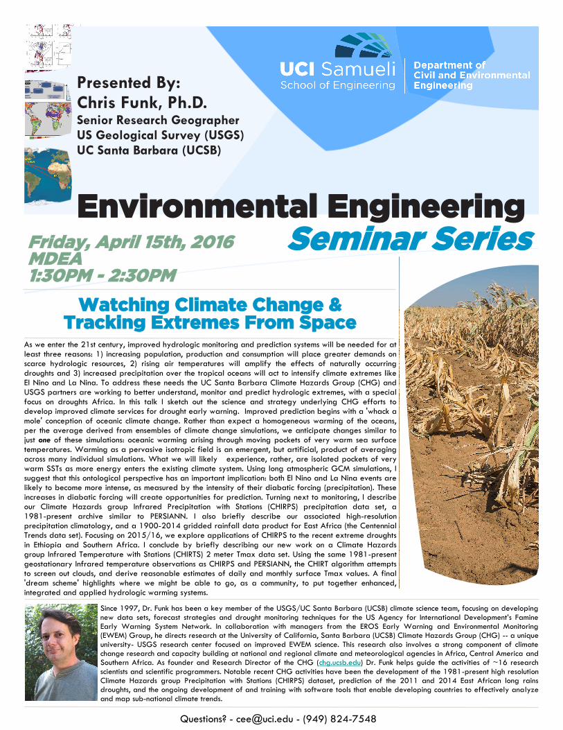
As we enter the 21st century, improved hydrologic monitoring and prediction systems will be needed for at least three reasons: 1) increasing population, production and consumption will place greater demands on scarce hydrologic resources, 2) rising air temperatures will amplify the effects of naturally occurring droughts and 3) increased precipitation over the tropical oceans will act to intensify climate extremes like El Nino and La Nina. To address these needs the UC Santa Barbara Climate Hazards Group (CHG) and USGS partners are working to better understand, monitor and predict hydrologic extremes, with a special focus on droughts Africa. In this talk I sketch out the science and strategy underlying CHG efforts to develop improved climate services for drought early warning. Improved prediction begins with a 'whack a mole' conception of oceanic climate change. Rather than expect a homogeneous warming of the oceans, per the average derived from ensembles of climate change simulations, we anticipate changes similar to just one of these simulations: oceanic warming arising through moving pockets of very warm sea surface temperatures. Warming as a pervasive isotropic field is an emergent, but artificial, product of averaging across many individual simulations. What we will likely experience, rather, are isolated pockets of very warm SSTs as more energy enters the existing climate system. Using long atmospheric GCM simulations, I suggest that this ontological perspective has an important implication: both El Nino and La Nina events are likely to become more intense, as measured by the intensity of their diabatic forcing (precipitation). These increases in diabatic forcing will create opportunities for prediction. Turning next to monitoring, I describe our Climate Hazards group Infrared Precipitation with Stations (CHIRPS) precipitation data set, a 1981-present archive similar to PERSIANN. I also briefly describe our associated high-resolution precipitation climatology, and a 1900-2014 gridded rainfall data product for East Africa (the Centennial Trends data set). Focusing on 2015/16, we explore applications of CHIRPS to the recent extreme droughts in Ethiopia and Southern Africa. I conclude by briefly describing our new work on a Climate Hazards group Infrared Temperature with Stations (CHIRTS) 2 meter Tmax data set. Using the same 1981-present geostationary Infrared temperature observations as CHIRPS and PERSIANN, the CHIRT algorithm attempts to screen out clouds, and derive reasonable estimates of daily and monthly surface Tmax values. A final 'dream scheme' highlights where we might be able to go, as a community, to put together enhanced, integrated and applied hydrologic warming systems.
Friday, April 15th, 2016 MDEA 1:30PM - 2:30PM
Watching Climate Change & Tracking Extremes From Space
Presented By: Chris Funk, Ph.D. Senior Research Geographer US Geological Survey (USGS) UC Santa Barbara (UCSB)
Questions? - [email protected] - (949) 824-7548
Since 1997, Dr. Funk has been a key member of the USGS/UC Santa Barbara (UCSB) climate science team, focusing on developing new data sets, forecast strategies and drought monitoring techniques for the US Agency for International Development’s Famine Early Warning System Network. In collaboration with managers from the EROS Early Warning and Environmental Monitoring (EWEM) Group, he directs research at the University of California, Santa Barbara (UCSB) Climate Hazards Group (CHG) -- a unique university- USGS research center focused on improved EWEM science. This research also involves a strong component of climate change research and capacity building at national and regional climate and meteorological agencies in Africa, Central America and Southern Africa. As founder and Research Director of the CHG (chg.ucsb.edu) Dr. Funk helps guide the activities of ~16 research scientists and scientific programmers. Notable recent CHG activities have been the development of the 1981-present high resolution Climate Hazards group Precipitation with Stations (CHIRPS) dataset, prediction of the 2011 and 2014 East African long rains droughts, and the ongoing development of and training with software tools that enable developing countries to effectively analyze and map sub-national climate trends.