The Dynamic Sales Team - .NET Downloads, Developer Resources
Upload
ravirainbowCategory
view
214download
0
7/27/2019 Dynamic GW Resources -2009_Part1
http://slidepdf.com/reader/full/dynamic-gw-resources-2009part1 1/13
DYNAMIC GROUND WATER
RESOURCES OF INDIA
(AS ON 31 MARCH 2009)
Central Ground Water BoardMinistry of Water Resources
Government of India
FaridabadNovember 2011

7/27/2019 Dynamic GW Resources -2009_Part1
http://slidepdf.com/reader/full/dynamic-gw-resources-2009part1 2/13
DYNAMIC GROUND WATER
RESOURCES OF INDIA
(AS ON 31 MARCH 2009)
Central Ground Water BoardMinistry of Water ResourcesGovernment of India
FaridabadNovember 2011
7/27/2019 Dynamic GW Resources -2009_Part1
http://slidepdf.com/reader/full/dynamic-gw-resources-2009part1 3/13

7/27/2019 Dynamic GW Resources -2009_Part1
http://slidepdf.com/reader/full/dynamic-gw-resources-2009part1 4/13
Dr. S.C. Dhiman3 l ~l1Ri1 " ' i ' t = ~ " ' = 1
ChairmanGovernment of India,
Central Ground Water Board,
Ministry of Water Resources,
Bhujal Bhawan,
~ ~ ; ; f ( i f < M; ; f ( i f "i'RmR 'i5l1 <'1 i!l~ lfCf'l
lPf 1."'1". 4 u;q)::fl1l?1<; r.I'ill"'"<;
lIT"'1". 9868218549~ "'1".: 0129-2419075~ 0129-2412524
PREFACE
NH-IV. Faridabad - 121001
Mobile : 9868218549
Ph . (0) : 0129-2419075Fax: 129-2412524
E-mail : [email protected]
Ground water resources Assessment on periodic basis is a part of
National Water policy. Central and State governments have taken up
various programmes for ground water development, artificial recharge and
rainwater harvesting, ground water regulation. etc for sustainable
management. Presently, the guidelines of Ground Water ResourcesEstimation Methodology, 1997 are being followed, along with subsequent
refinements suggested in Ground Water Estimation Methodology in Hard
Rock Terrain, 2004 and by R&D Advisory Committee on Ground Water
Estimation.
The process of ground water resources assessment as on March, 2009
has been taken up by Central Ground Water Board. In view of the wide
ranging implications of resources assessment, the Ministry of WaterResources constituted a Central Level Expert Group for over-all supervision
of reassessment of ground water resources of the country for the referenceyear 2008-09. Ground Water Resources were estimated at the state levelunder the guidance of State Level Committees. The annual replenishable
ground water resources of the country have been assessed keeping an
allocation for the unavoidable natural discharge.
The National Report on "Dynamic Ground Water Resources of India
(As on March, 2009) is the team work of the officers of CGWB and State
Ground Water Departments. The contribution of members of the Central
Expert Group and State Level Committees in bringing out refinements in the
National Report is thankfully acknowledged.
I am sure that this document will be of immense use amongst the
administrators, planners, managers, professionals and academicians
working in the field of water management particularly Ground water
resource management.
(Dr. S,C. Dhimon)

7/27/2019 Dynamic GW Resources -2009_Part1
http://slidepdf.com/reader/full/dynamic-gw-resources-2009part1 5/13
DYNAMIC GROUND WATER RESOURCES OF INDIA
(As on 31 March 2009)
AT A GLANCE
1. Annual Replenishable Ground Water
Resources
431 bcm
2. Net Annual Ground Water Availability 396 bcm
3. Annual Ground Water Draft for Irrigation,
Domestic & Industrial uses
243 bcm
4. Stage of Ground Water Development 61%
5. Categorization of Blocks / Mandals/
Talukas
Total Assessed units 5842
Safe 4277
Semi-Critical 523
Critical 169
Over-Exploited 802
Saline 71

7/27/2019 Dynamic GW Resources -2009_Part1
http://slidepdf.com/reader/full/dynamic-gw-resources-2009part1 6/13
DYNAMIC GROUND WATER RESOURCES OF INDIA
(As on 31 March 2009)
C O N T E N T S
Sl No. Particulars Page No
Executive Summary i-iii
1 Introduction 1-5
1.1 Previous assessments 1
1.2 Ground water management initiatives 3
1.3 Re-assessment of Ground Water Resources (2008-09) 4
2 Ground Water Resources Estimation Methodology 6-13
2.1 Assessment of Ground Water Draft 7
2.2 Assessment of Ground Water Recharge from Other Sources 7
2.3 Assessment of Ground Water Recharge from Rainfall 8
2.4 Ground Water Recharge during monsoon season 10
2.5 Ground Water Recharge during non-monsoon season 10
2.6 Annual Replenishable Ground Water Resources 11
2.7 Net Annual Ground Water Availability 11
2.8 Future utilization of Ground Water Resources 11
2.9 Stage of Ground Water Development 12
2.10 Categorization of Assessment Units 12
3 Rainfall of India 14-23
3.1 Rainfall pattern 14
3.2 Trends in rainfall 16
3.3 Drought analysis 23
4 Hydrogeological Setup of the Country 24-35
4.1 Porous Formations 24
7/27/2019 Dynamic GW Resources -2009_Part1
http://slidepdf.com/reader/full/dynamic-gw-resources-2009part1 7/13
4.2 Fissured Formations 25
4.3 Ground water level scenario in the Country 26
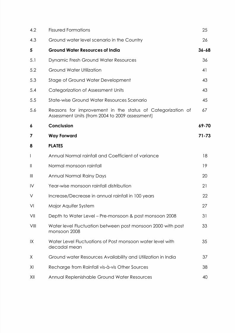
5 Ground Water Resources of India 36-68
5.1 Dynamic Fresh Ground Water Resources 36
5.2 Ground Water Utilization 41
5.3 Stage of Ground Water Development 43
5.4 Categorization of Assessment Units 43
5.5 State-wise Ground Water Resources Scenario 45
5.6 Reasons for improvement in the status of Categorization ofAssessment Units (from 2004 to 2009 assessment)
67
6 Conclusion 69-70
7 Way Forward 71-73
8 PLATES
I Annual Normal rainfall and Coefficient of variance 18
II Normal monsoon rainfall 19
III Annual Normal Rainy Days 20
IV Year-wise monsoon rainfall distribution 21
V Increase/Decrease in annual rainfall in 100 years 22
VI Major Aquifer System 27
VII Depth to Water Level – Pre-monsoon & post monsoon 2008 31
VIII Water level Fluctuation between post monsoon 2000 with postmonsoon 2008
33
IX Water Level Fluctuations of Post monsoon water level withdecadal mean
35
X Ground water Resources Availability and Utilization in India 37
XI Recharge from Rainfall vis-à-vis Other Sources 38
XII Annual Replenishable Ground Water Resources 40

7/27/2019 Dynamic GW Resources -2009_Part1
http://slidepdf.com/reader/full/dynamic-gw-resources-2009part1 8/13
XIII Irrigation Draft vis-à-vis Domestic & Industrial Draft 42
XIV Categorization of Blocks/ Mandals/ Talukas as on 31st March 2009 44
9 ANNEXURES 74-148
I State-wise Ground Water Resources Availability, Utilization andStage of Development, India
74
II District-wise Ground Water Resources Availability, Utilization andStage of Development
75-112
III Categorization of Blocks/ Mandals/ Taluks in India 113
IV State-wise categorization of Blocks/ Mandals/ Taluks 114-148
10. APPENDICES 149-221
A Government Resolution on Constitution of Central Level ExpertGroup
149
B MOWR guidelines for constitution of the State Level Committees 152
C Approvals of Ground Water Assessment Reports by the StateLevel Committees
155
D List of the members and special invitees in the meetings of the
Central Level Expert Group
205
E Sample Estimation Report of an Assessment unit 209
F Reasons for Improvement in the Status of Categorization of
assessment units
219
11 References 222-223
12 Data Elements 224 13 Abbreviations 225

7/27/2019 Dynamic GW Resources -2009_Part1
http://slidepdf.com/reader/full/dynamic-gw-resources-2009part1 9/13
Annexure II District-wise Ground Water Resources Availability,
Utilization and Stage of Development
Sl. No. States / Union Territories Page No.
States
1 Andhra Pradesh 75
2 Arunachal Pradesh 76
3 Assam 77
4 Bihar 78
5 Chhattisgarh 80
6 Delhi 81
7 Goa 82
8 Gujarat 83
9 Haryana 84
10 Himachal Pradesh 85
11 Jammu & Kashmir 86
12 Jharkhand 87
13 Karnataka 88
14 Kerala 89
15 Madhya Pradesh 90
16 Maharashtra 92
17 Manipur 93
18 Meghalaya 9419 Mizoram 95
20 Nagaland 96
21 Orissa 97
22 Punjab 98
23 Rajasthan 99
24 Sikkim 100
25 Tamil Nadu 101
26 Tripura 102
27 Uttar Pradesh 103
28 Uttarakhand 105
29 West Bengal 106
Union Territories
1 Andaman & Nicobar 107
2 Chandigarh 108
3 Dadara & Nagar Haveli 109
4 Daman & Diu 110
5 Lakshdweep 111
6 Puducherry 112

7/27/2019 Dynamic GW Resources -2009_Part1
http://slidepdf.com/reader/full/dynamic-gw-resources-2009part1 10/13
Annexure IV District-wise Categorization of Blocks/ Mandals/
Taluks in India
Sl. No. States / Union Territories Page No.
States
1 Andhra Pradesh 114
2 Bihar 117
3 Chhattisgarh 118
4 Delhi 119
5 Gujarat 120
6 Haryana 121
7 Himachal Pradesh 123
8 Jharkhand 124
9 Karnataka 125
10 Kerala 127
11 Madhya Pradesh 128
12 Maharashtra 130
13 Punjab 131
14 Rajasthan 134
15 Tamil Nadu 138
16 Uttar Pradesh 141
17 Uttarakhand 14418 West Bengal 145
Union Territories
1 Daman & Diu 146
2 Lakshdweep 147
3 Puducherry 148

7/27/2019 Dynamic GW Resources -2009_Part1
http://slidepdf.com/reader/full/dynamic-gw-resources-2009part1 11/13
i
EXECUTIVE SUMMARY
Ground Water Resources Assessment is carried out at periodical intervals
jointly by State Ground Water Departments and Central Ground Water Board
under the overall supervision of the State Level Committee on Ground Water
Assessment. Previous such joint exercises were carried out in 1980, 1995 and
2004.
The assessment involves estimation of dynamic ground water resources or
annual replenishable ground water resources (recharge), annual ground
water draft (utilization) and the percentage of utilization with respect to
recharge (stage of development). The assessment units (blocks/ watersheds)
are categorized based on Stage of Ground Water Development (Utilization)
and the long term water level trend. The methodology for assessment is
broadly based on Ground Water Resources Assessment Methodology, 1997
with additional inputs from Ground Water Estimation Methodology in Hard
Rock Terrain (2004) and R&D Advisory Committee on Ground Water
Estimation (2010).
Rainfall is the main source of annual replenishable ground water resource.
Most part of India receives rainfall mainly during SW monsoon. Major part of
country including Northern, Central and Eastern India receives annual normal
rainfall between 75 and 150 cm. Highest rainfall of more than 250 cm is
received in the North Eastern States and along West Coast in the Konkan
region and western part of the country including Rajasthan and Gujarat
receives the lowest rainfall, at places even less than 15 cm in an year. There
have been normal rainfalls in the major part of the country between 2004
and 2009. Excess rainfalls during this period have been recorded mainly in
parts of Peninsular and Western India.

7/27/2019 Dynamic GW Resources -2009_Part1
http://slidepdf.com/reader/full/dynamic-gw-resources-2009part1 12/13
ii
The aquifer properties of rock formations have significant influence in ground
water recharge. Porous formations like alluvial formations in the Indo-Ganga-
Bramhaputra basin having high specific yield values are the most important
repository of ground water resources. Ground water occurrences in the
fissured formations, which occupy almost two-third part of the country
including peninsular India, on the other hand are limited to weathered,
jointed and fractured portions of the rocks. Ground water level is the basic
indicator of the ground water regime of an area. Ground water levels in the
period between 2006 and 2008 show improvement in the coastal and
western part of the country and decline in the north western and northern
part.
The annual replenishable ground water resources have been assessed as 431
bcm. Keeping an allocation for natural discharge, the net annual ground
water availability is 396 bcm. The annual ground water draft (as on 31st
March, 2009) is 243 bcm. The Stage of ground water development works out
to be about 61%. The development of ground water in different areas of the
country has not been uniform. Out of 5842 assessment units (Blocks/Mandals/ Talukas) in the country, 802 units in various States have been
categorized as ‘Over -exploited’ i.e. the annual ground water extraction
exceeds the net annual ground water availability and significant decline in
long term ground water level trend has been observed either in pre-
monsoon or post- monsoon or both. In addition 169 units are ‘Critical’ i.e. the
stage of ground water development is above 90 % and within 100% of net
annual ground water availability and significant decline is observed in the
long term water level trend in both pre-monsoon and post-monsoon periods.
There are 523 semi-critical units, where the stage of ground water
development is between 70% and 100% and significant decline in long term
water level trend has been recorded in either Pre-monsoon or Post-monsoon.
4277 assessment units are Safe where there is no decline in long term ground
water level trend. Apart from this, there are 71 blocks completely underlain
by saline ground water.

7/27/2019 Dynamic GW Resources -2009_Part1
http://slidepdf.com/reader/full/dynamic-gw-resources-2009part1 13/13
iii
There is an overall increase in ground water development in 2009 as
compared with 2004, particularly in the areas where future scope for ground
water development existed. This has led to the increase in the Stage of
Ground water development from 58% in 2004 to 61% in 2009. The over-
exploited areas are mostly concentrated on three parts of the country. In
north western part in Punjab, Haryana, Delhi, Western Uttar Pradesh where
through replenishable resources is abundant but there have indiscriminate
withdrawals of ground water leading to over-exploitation, in western part of
the country particularly in Rajasthan where due to arid climate, ground water
recharge itself is less leading to stress on the resource and in peninsular India
like Karnataka and Tamil Nadu where due to poor aquifer properties, ground
water availability is less. In some areas of the country, good continuous
rainfall and management practices like ground water augmentation and
conservation measures through government and private initiatives have
resulted in improvement in ground water situation which is also reflected in
the change in Category from Over-exploited and Critical (2004) to other
categories (2009).
Ground water resources assessment like other fields of science requires
continuous refinements. The issue becomes more relevant considering the
strong linkage between assessment and ground water management. Some
of the suggestions to bring in further refinements in the ground water
resources assessment approach are – strengthening of database, setting up
dedicated Groundwater Resources Assessment Cell, quantity considerations
in ground water resources assessment, development of a dedicated software
for ground water assessment, pilot studies on yearly assessment and
assessments in doab (alluvial area) and micro-level unit (hard rock area),
application of alternate methods for recharge estimation and remote sensing
technique in ground water resources assessment and further study on linkage
between assessment and management.