DOI Enterprise Geographic Information Management (EGIM
19
DOI Enterprise Geographic Information Management (EGIM) Team Initiative
Transcript of DOI Enterprise Geographic Information Management (EGIM

DOI Enterprise Geographic Information Management (EGIM) Team Initiative

Major changes in GIS• Who can use GIS• Point’n click GUI-based software• Web services
• Availability of GIS• Enterprise licensing – SmartBuy implementation• Access to data• NSDI clearinghouse nodes
• Delivery of GIS• Web serviceso Geospatial One-Stop (GOS) o The National Map (TNM)
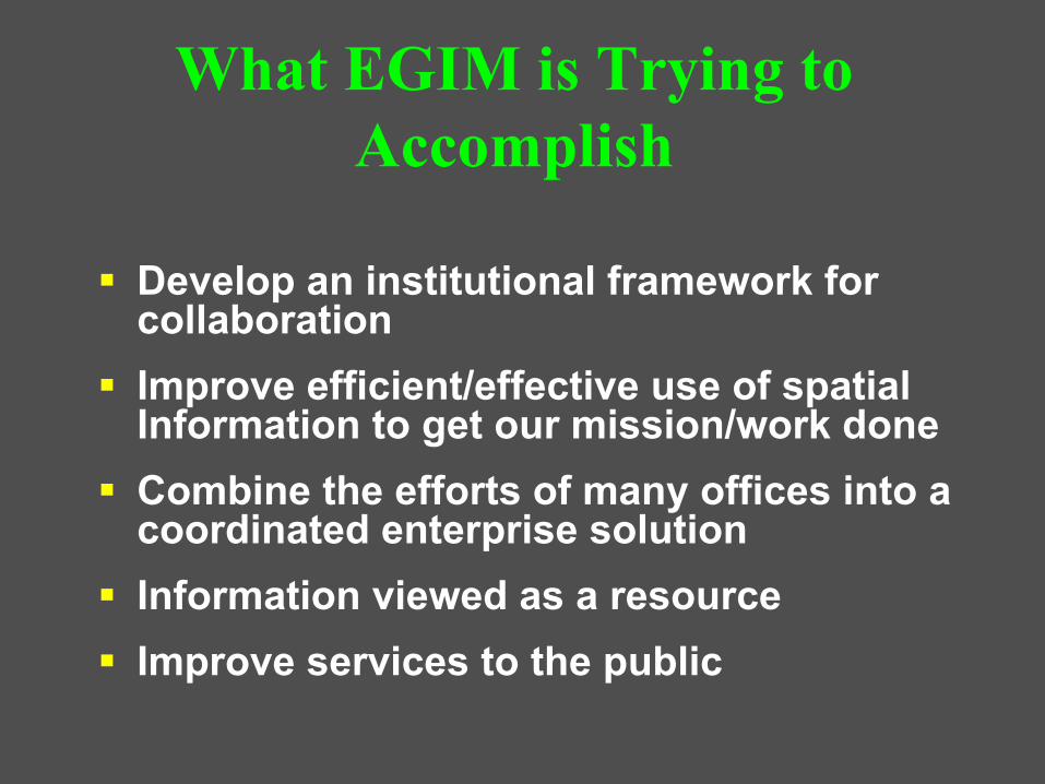
Develop an institutional framework for collaborationImprove efficient/effective use of spatial Information to get our mission/work doneCombine the efforts of many offices into a coordinated enterprise solutionInformation viewed as a resourceImprove services to the public
What EGIM is Trying to Accomplish
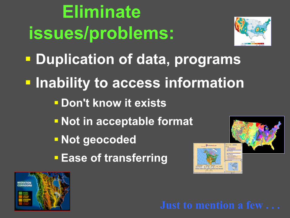
Eliminate issues/problems:Duplication of data, programsInability to access information
Don't know it existsNot in acceptable formatNot geocodedEase of transferring
Just to mention a few . . .

• Efficient• Effective• Responsive • Integrated• Sustainable• Participatory
Serving CommunitiesManagement for
Excellence & Accountability Recreation
Facilities & Land Management
Resource Use& Protection
Making Government More:
GIS Supports the Enterprise
GIS Data Resources
FWS
OSM
NPS
BLM BIA
BOR
MMSDOI
USGS
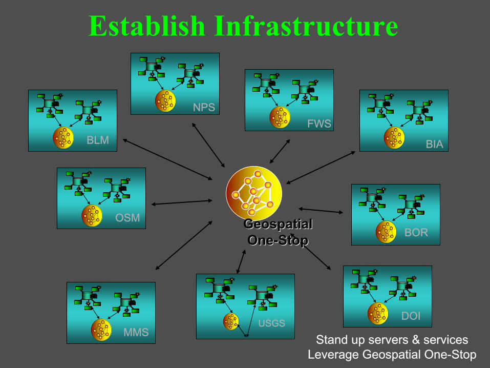
Stand up servers & services Leverage Geospatial One-Stop
Geospatial Geospatial OneOne--StopStop
Establish Infrastructure

Internet Map Services
Geospatial One-Stop
Govt. UnitsCadastral
Transportation
Hydrography
Geodetic Control
National Map Products and Services
Custom Map Products and Services
Orthoimagery
EGIM Infrastructure & Services Concept
Data Discovery
Data Dissemination

Optimize use of geospatial technologies
Business Critical Systems
Projects, Applications
Re-engineer . . .
DOI’s “Lines of Business”

Develop Common Project Applications
Applications cross-cutting Bureau lines
Law Enforcement Facility Locator ServiceFacilities ManagementMobile GIS


Current Efforts
• Establishing within DOI:• A coordination mechanism for GIS • A baseline of existing GIS use• Business Case Development
• Establish a communications plan– Web site, presentations, internal user meetings
• Prioritize and plan efforts associated with Circular A-16 data efforts
• Define best practices for:– Creating department implementations from Bureau-
centric applications e.g. NILS– Data migration strategies
• Extension of the ESRI SmartBUY Agreement


Tasks Identified in Business CaseTrainingo Develop Collaborative Trainingo Inventory and training info clearinghouse
o GIS Software o Remote installs, common deployment scriptso Coordinated Beta and software testingo Security template testing/involvement
o Knowledge Baseo Best practices databaseo Project document clearinghouse
o Help Desk o Consolidated/coordinated deployment
o Communications Plan


Tasks Identified in Business Case
o GIS Database Supporto Geospatial data inventoryo Develop data “stewardship” publication/sharing
policyo Develop data management best practiceso Cross-bureau GIS application analysis &
recommendationso Re-engineer existing programs/initiatives o Develop common Geodatabase Models
o System Architectureo Participate with ESN on DOI network architectureo Hold Executive Workshop


Thank you!
The EGIM Team