Do Now Geography of Canada. Essential Question 1) How would you describe the geography of Canada? 2)...
23
Do Now Do Now Geograph y of Canada
-
Upload
peregrine-cox -
Category
Documents
-
view
216 -
download
0
Transcript of Do Now Geography of Canada. Essential Question 1) How would you describe the geography of Canada? 2)...

Do NowDo Now
Geographyof
Canada

Essential QuestionEssential Question
1)1) How would you describe the How would you describe the geography of Canada?geography of Canada?
2)2) How do geographic features How do geographic features affect how people live?affect how people live?
Lesson #1 VocabularyLesson #1 Vocabulary
prairieprairie
tundratundra
fjordfjord
provincesprovinces
territoryterritory

prairieprairie
A large area of flat land covered by grasses and wildflowers but few trees.

TundraTundra
A large, flat plain of frozen ground (Canada’s far north Arctic Island Region)

FjordFjord
A narrow, deep inlet of the sea, between high, rocky cliffs

territoryterritory• A large region that belongs to a country, A large region that belongs to a country,
but does not have the same rights or self but does not have the same rights or self government as the rest of the country.government as the rest of the country.
**Picture on next slide****Picture on next slide**

provinceprovince• A self-governing region.A self-governing region.
**Picture in a few slides****Picture in a few slides**


List the provinces and territories of List the provinces and territories of Canada and their capitals. Use page Canada and their capitals. Use page
135 and an atlas135 and an atlas.. Province/TerritoryProvince/Territory Capital Capital

Check your work.Check your work.Province/TerritoryProvince/Territory Capital Capital
Yukon TerritoryYukon Territory WhitehorseWhitehorse
Northwest TerritoryNorthwest Territory YellowknifeYellowknife
Nunavut Nunavut IqaluitIqaluit
British ColumbiaBritish Columbia VictoriaVictoria
AlbertaAlberta Edmonton Edmonton
SaskatchewanSaskatchewan ReginaRegina
ManitobaManitoba WinnipegWinnipeg
OntarioOntario TorontoToronto
QuebecQuebec Quebec CityQuebec City
Newfoundland and LabradorNewfoundland and Labrador St. John’sSt. John’s
Prince Edward IslandPrince Edward Island CharlottetownCharlottetown
New BrunswickNew Brunswick FrederictonFredericton
Nova ScotiaNova Scotia HalifaxHalifax

Provinces and TerritoriesNew Foundland
Nova Scotia
New Brunswick
Prince Edward Island
Quebec
Ontario
Manitoba
Saskatchewan
Alberta
British Columbia
Yukon Territory
Northwest Territory
Nunavut

Land of Diversity Land of Diversity
Canada Video\Land of Diversity.asx
Use the chart on page 3 to take Use the chart on page 3 to take notes on each province and notes on each province and territory from the video. territory from the video.

Provinces and TerritoriesNew Foundland Rugged fjords, largest Caribou heard, maritime climate
Nova Scotia Surrounded by 4 bodies of water, temperate climate, settled by French
New Brunswick Highest tides in the world, surrounded by water
Prince Edward Island Smallest province, rich soil, many small lakes and rivers, temperate climate
Quebec 3 geographical regions, largest province, cold-temperate climate
Ontario Most populated, Nations Capital (Ottawa),
Manitoba 100,000 lakes, center of Canada, Eastern Prairie Province
Saskatchewan Numerous lakes and rivers, flat prairies, “Sunshine Capital”
Alberta Western Prairie Province, Oil, Natural Gas, Long Winters, Hot/Dry Summers
British Columbia Pacific Coast, Moist Rainforest, Dry Summers- Desert Like
Yukon Territory Sparsely populated, Rocky tundra, “Land of Midnight Sun”
Northwest Territory Most of Canada, Climate is Artic to Sub Arctic, Least amount of people
Nunavut New Territory in 1999

With a partner, read With a partner, read page 134-135. Complete page 134-135. Complete the graphic organizer. the graphic organizer. Canadian ShieldCanadian Shield
St. Lawrence LowlandsSt. Lawrence Lowlands
Appalachian RegionAppalachian Region
Interior PlainsInterior Plains
Western MountainsWestern Mountains
Hudson Bay LowlandsHudson Bay Lowlands
Arctic Island Arctic Island
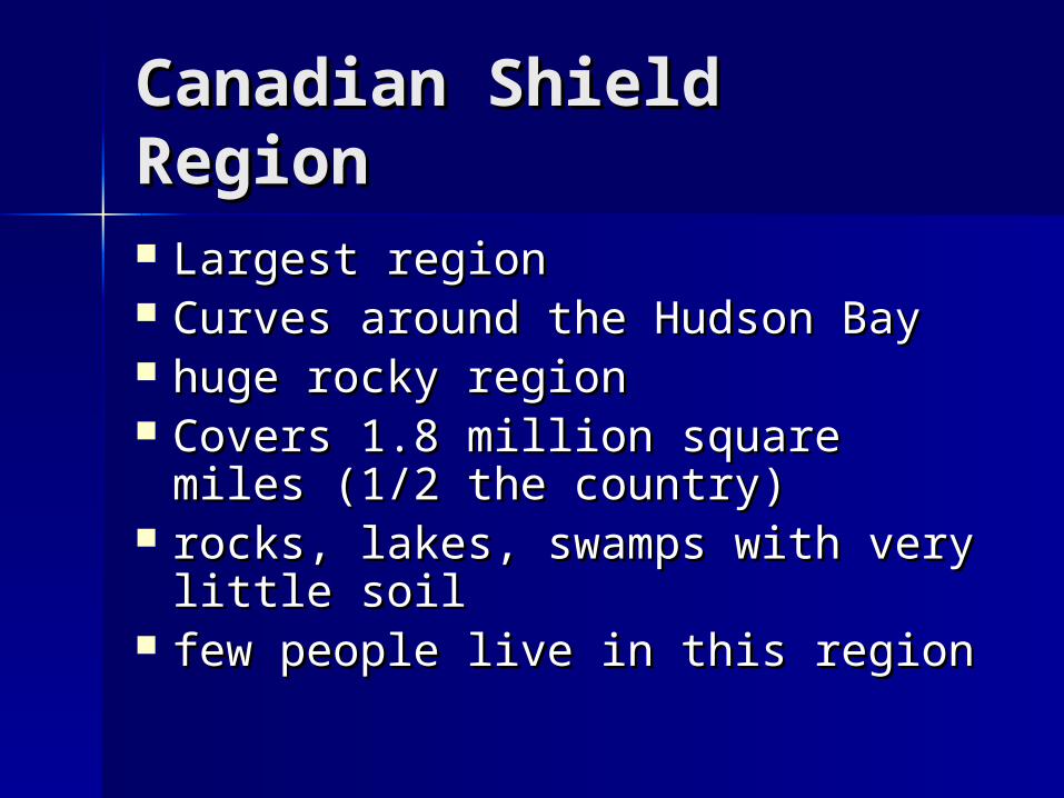
Canadian Shield Canadian Shield RegionRegion Largest regionLargest region Curves around the Hudson BayCurves around the Hudson Bay huge rocky regionhuge rocky region Covers 1.8 million square miles Covers 1.8 million square miles
(1/2 the country) (1/2 the country) rocks, lakes, swamps with very rocks, lakes, swamps with very
little soillittle soil few people live in this region few people live in this region

St. Lawrence Lowland St. Lawrence Lowland RegionRegion Southeast of the Canadian ShieldSoutheast of the Canadian Shield smallest regionsmallest region more industries and people in this more industries and people in this
region than any other regionregion than any other region best farmlandbest farmland major waterway- St. Lawrence major waterway- St. Lawrence
SeawaySeaway

Appalachian RegionAppalachian Region
East of the Canadian Shield and East of the Canadian Shield and LowlandsLowlands
fertile valleysfertile valleys low mountainslow mountains rich in forest, natural resources, rich in forest, natural resources,
and fishand fish Sandy beaches line the coastSandy beaches line the coast

Interior Plains RegionInterior Plains Region
southern partsouthern part prairies and farmsprairies and farms fertile soil- wheat and other crops fertile soil- wheat and other crops
grow well heregrow well here
northern partnorthern part poor soil- too cold for farmingpoor soil- too cold for farming forest cover land in the northforest cover land in the north

Western Mountain Western Mountain RegionRegion
Lies west of the Interior PlainsLies west of the Interior Plains extends to the Pacific Oceanextends to the Pacific Ocean mountains and forestmountains and forest mineral resourcesmineral resources riversrivers wildlifewildlife

Hudson Bay Lowlands Hudson Bay Lowlands RegionRegion swampsswamps

Arctic RegionArctic Region
too cold for trees to growtoo cold for trees to grow tundratundra 12 large islands and hundreds of 12 large islands and hundreds of
small onessmall ones glaciers, tall mountains, and deep glaciers, tall mountains, and deep
fjords fjords

Ticket out the doorTicket out the door
3 – Name three regions of Canada.3 – Name three regions of Canada.
2- Name two landforms in Canada2- Name two landforms in Canada
1- Name one body of water. 1- Name one body of water.