Developing imagery driven application workflows with Geomatica, ArcGIS and Python
49
Imagery driven applications with Geomatica, ArcGIS and Python Kevin Jones - Vision Géomatique Nov 13, 2014
-
Upload
visiongeomatique2014 -
Category
Technology
-
view
168 -
download
1
Transcript of Developing imagery driven application workflows with Geomatica, ArcGIS and Python

Imagery driven applications with
Geomatica, ArcGIS and Python
Kevin Jones - Vision Géomatique
Nov 13, 2014
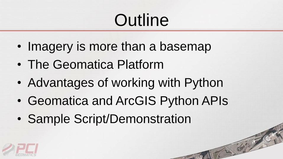
Outline
• Imagery is more than a basemap
• The Geomatica Platform
• Advantages of working with Python
• Geomatica and ArcGIS Python APIs
• Sample Script/Demonstration
Background
PCI Geomatics has been a leader in developing
software for processing and analyzing remotely
sensed data for over 30 years!
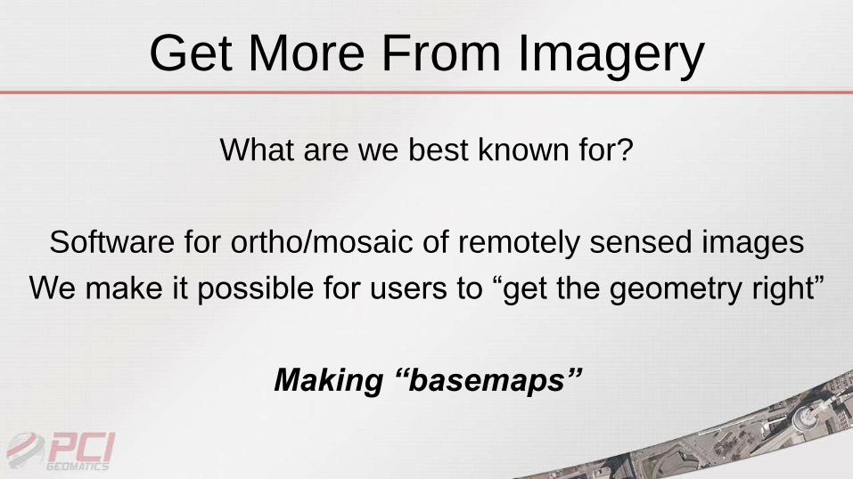
Get More From Imagery
What are we best known for?
Software for ortho/mosaic of remotely sensed images
We make it possible for users to “get the geometry right”
Making “basemaps”
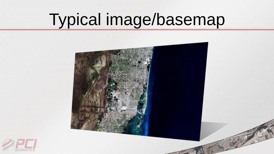
Typical image/basemap
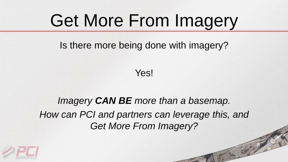
Get More From Imagery
Is there more being done with imagery?
Yes!
Imagery CAN BE more than a basemap.
How can PCI and partners can leverage this, and
Get More From Imagery?
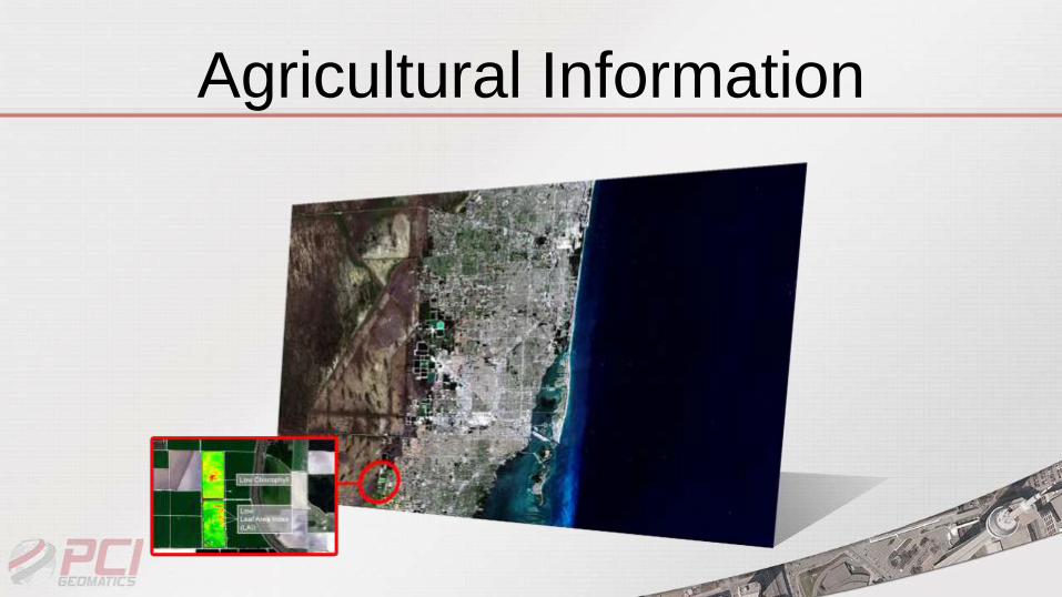
Agricultural Information
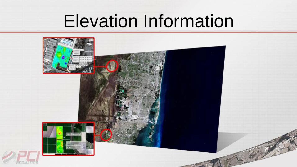
Elevation Information
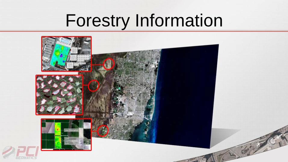
Forestry Information
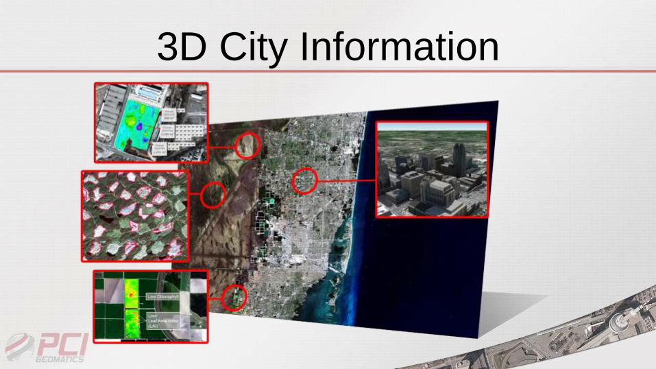
3D City Information
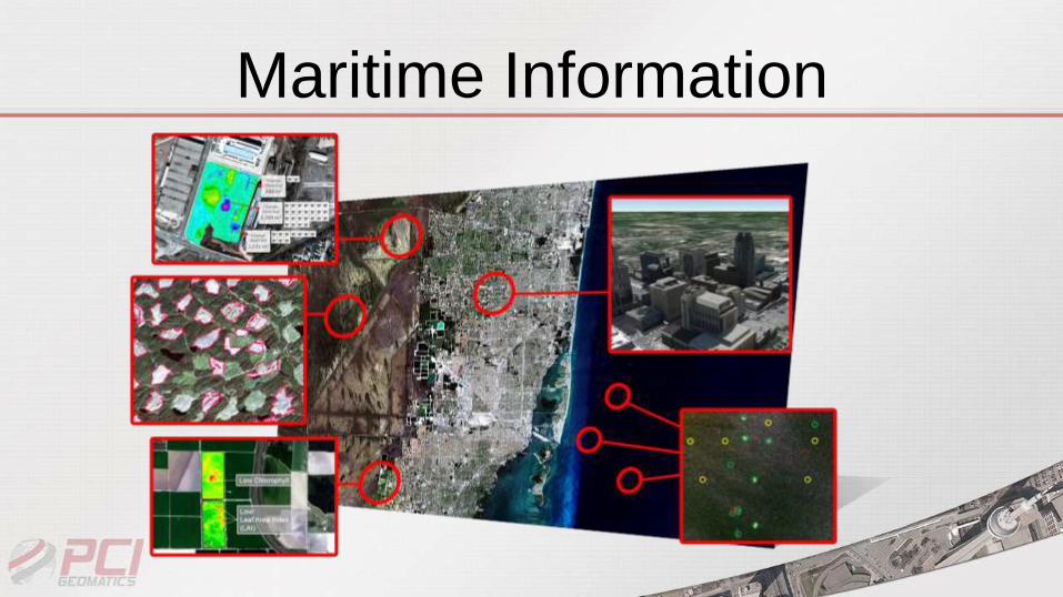
Maritime Information
What Does PCI Provide?
• We provide a solid environment to make it
possible to get this information• Proven science, algorithms (550+)
• Desktop / Server / Cloud
• Development Platform based on Python

What Can You Do?
• Understand customer challenges and leverage the
platform
• Develop Purpose Built Solutions (apps) that address
these challenges
• Replicate the solutions by vertical market, in different
geographies
• Create different vertical market apps
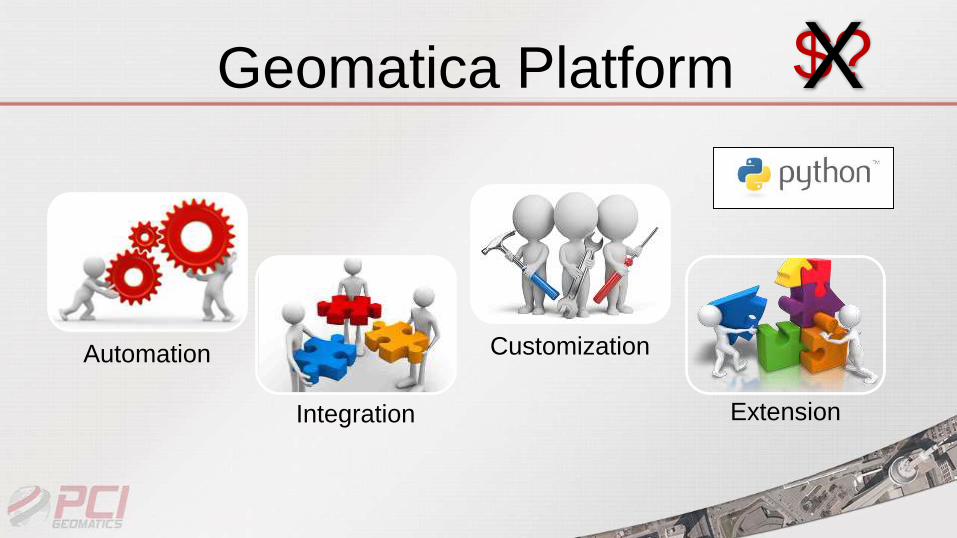
Geomatica Platform
Automation
Integration
Customization
Extension
$?X
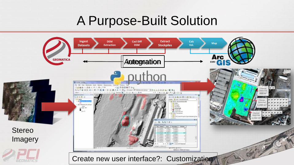
A Purpose-Built Solution
DEM Extraction
Ingest Datasets
Cacl Diff DSM
Extract Stockpiles
CalcVol.
Map
Stereo
Imagery
AutomationIntegration
Create new user interface?: Customization
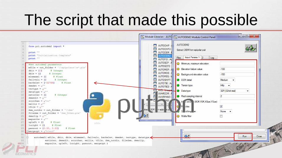
The script that made this possible

Increasing Revenue Together
Needs a solution Imagery Software
+ Custom
solutionOne time deal,
limited revenue
=
Many need the
same solutionImagery Software
+Build a
repeatable
SolutionIncreased revenue
potential
=
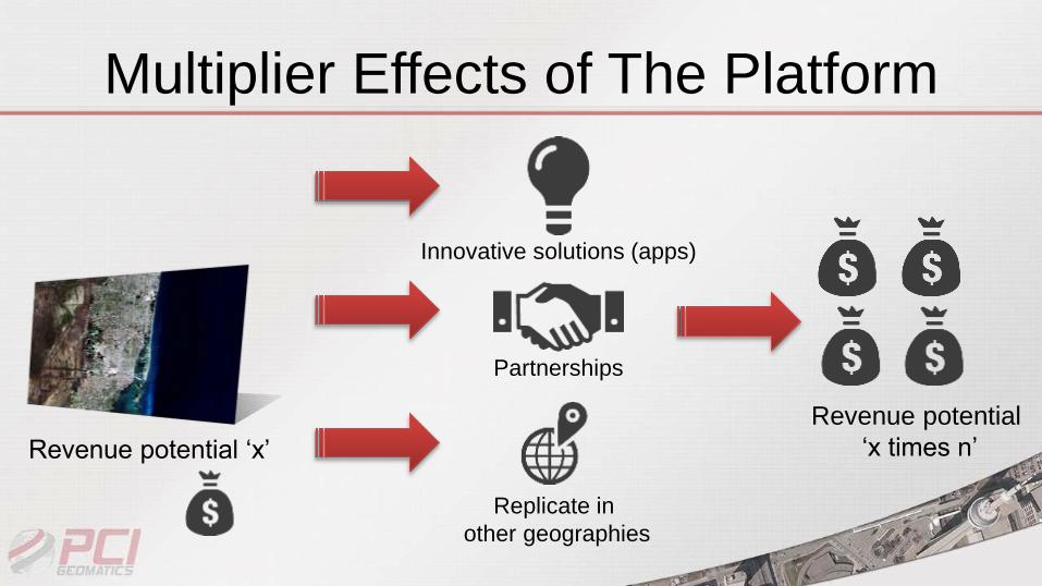
Multiplier Effects of The Platform
Revenue potential ‘x’
Replicate in
other geographies
Innovative solutions (apps)
Partnerships
Revenue potential
‘x times n’
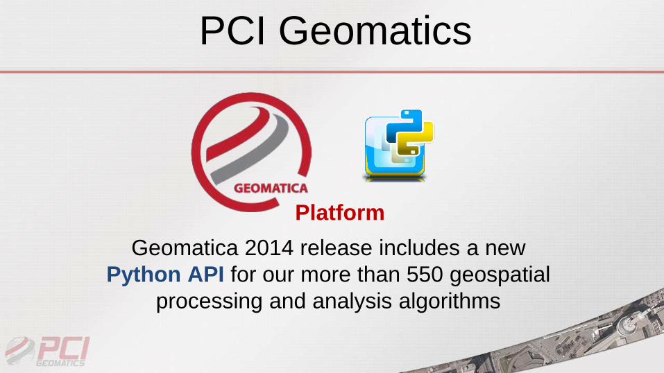
PCI Geomatics
Geomatica 2014 release includes a new
Python API for our more than 550 geospatial
processing and analysis algorithms
Platform
Geomatica & ArcMap as Platforms
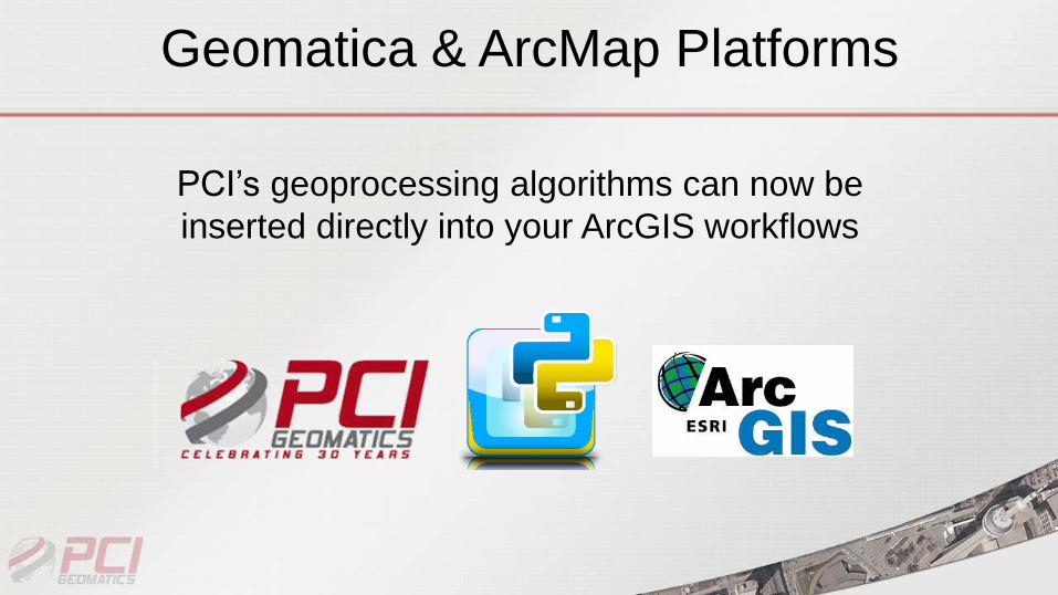
Geomatica & ArcMap Platforms
PCI’s geoprocessing algorithms can now be
inserted directly into your ArcGIS workflows
22Private and Confidential
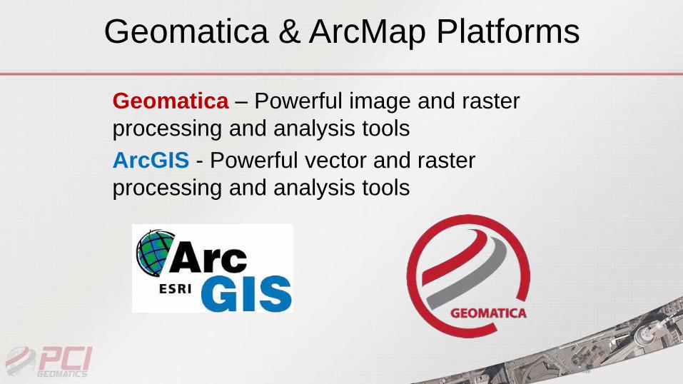
Geomatica – Powerful image and raster
processing and analysis tools
ArcGIS - Powerful vector and raster
processing and analysis tools
Geomatica & ArcMap Platforms
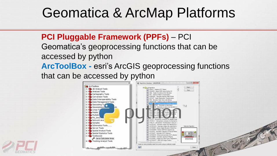
PCI Pluggable Framework (PPFs) – PCI
Geomatica’s geoprocessing functions that can be
accessed by python
ArcToolBox - esri’s ArcGIS geoprocessing functions
that can be accessed by python
Geomatica & ArcMap Platforms
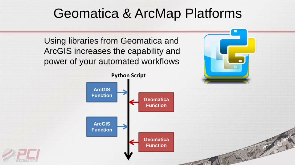
Using libraries from Geomatica and
ArcGIS increases the capability and
power of your automated workflows
ArcGIS
FunctionGeomatica
Function
ArcGIS
Function
Geomatica
Function
Python Script
Geomatica & ArcMap Platforms
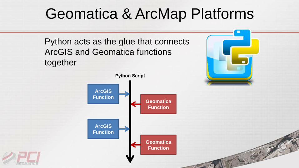
Python acts as the glue that connects
ArcGIS and Geomatica functions
together
ArcGIS
FunctionGeomatica
Function
ArcGIS
Function
Geomatica
Function
Python Script
Geomatica & ArcMap Platforms

The Python Advantage
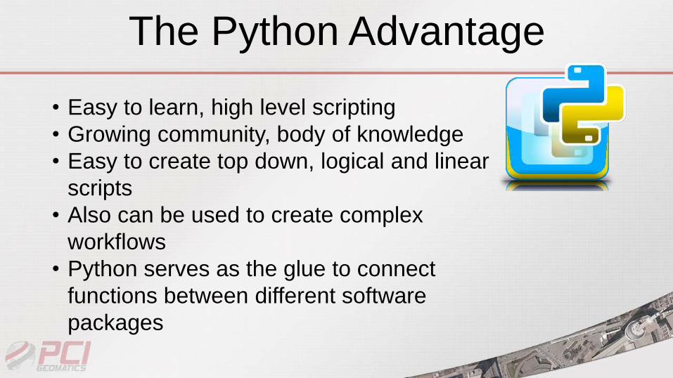
The Python Advantage
• Easy to learn, high level scripting
• Growing community, body of knowledge
• Easy to create top down, logical and linear
scripts
• Also can be used to create complex
workflows
• Python serves as the glue to connect
functions between different software
packages
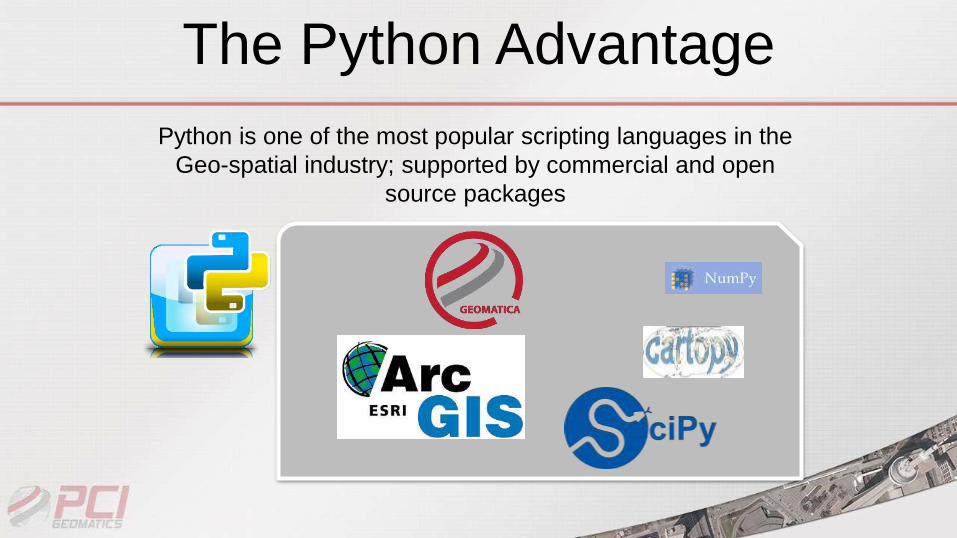
The Python Advantage
Python is one of the most popular scripting languages in the
Geo-spatial industry; supported by commercial and open
source packages

Geomatica & ArcGIS APIs for Python
Geomatica & ArcMap APIs
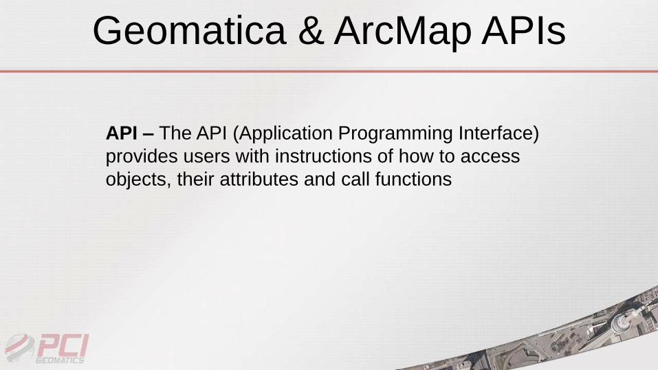
API – The API (Application Programming Interface)
provides users with instructions of how to access
objects, their attributes and call functions
Geomatica & ArcMap APIs
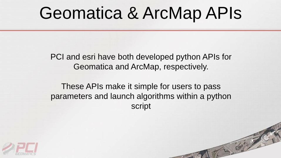
PCI and esri have both developed python APIs for
Geomatica and ArcMap, respectively.
These APIs make it simple for users to pass
parameters and launch algorithms within a python
script
Geomatica & ArcMap APIs
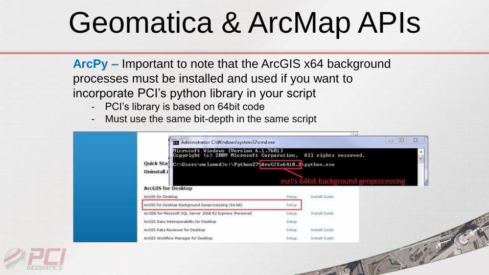
ArcPy – Important to note that the ArcGIS x64 background
processes must be installed and used if you want to
incorporate PCI’s python library in your script - PCI’s library is based on 64bit code
- Must use the same bit-depth in the same script
Geomatica & ArcMap APIs
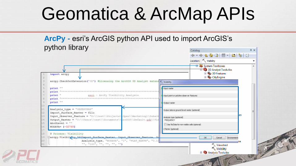
ArcPy - esri’s ArcGIS python API used to import ArcGIS’s
python library
Geomatica & ArcMap APIs
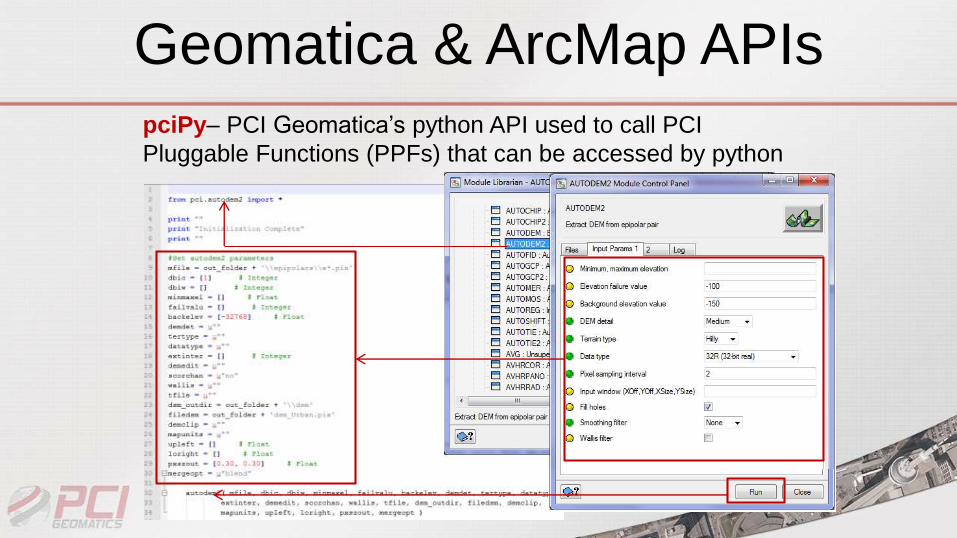
pciPy– PCI Geomatica’s python API used to call PCI
Pluggable Functions (PPFs) that can be accessed by python

Custom Python Script Demo
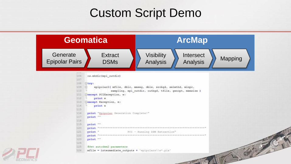
ArcMapGeomatica
Custom Script Demo
Generate
Epipolar PairsExtract
DSMs
Visibility
Analysis
Intersect
AnalysisMapping
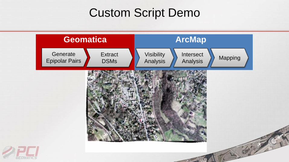
Custom Script Demo
ArcMapGeomatica
Generate
Epipolar PairsExtract
DSMs
Visibility
Analysis
Intersect
AnalysisMapping
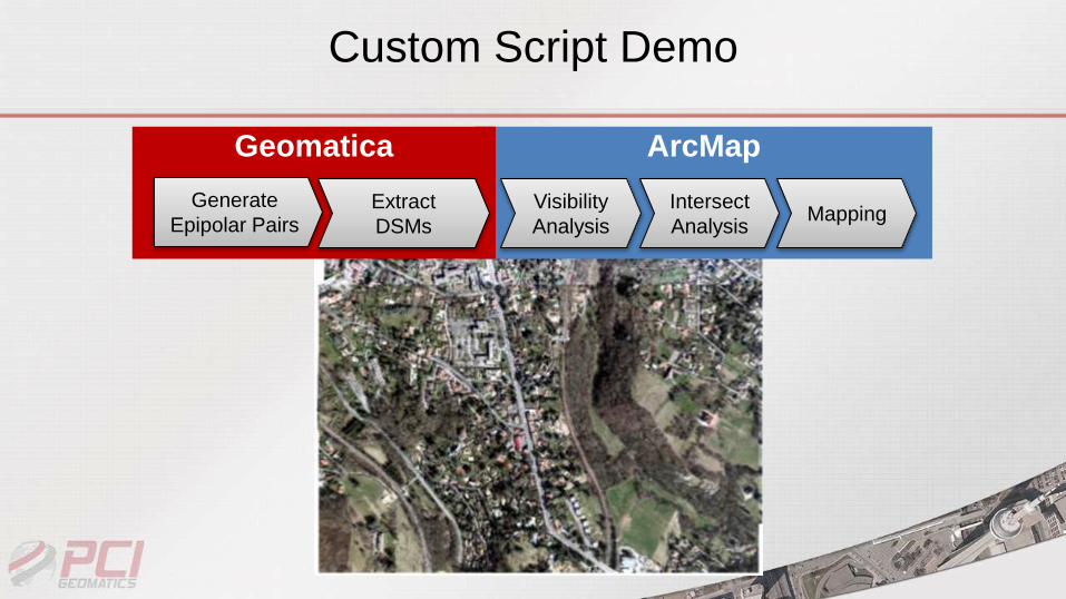
Custom Script Demo
ArcMapGeomatica
Generate
Epipolar PairsExtract
DSMs
Visibility
Analysis
Intersect
AnalysisMapping
Custom Script Demo
ArcMapGeomatica
Generate
Epipolar PairsExtract
DSMs
Visibility
Analysis
Intersect
AnalysisMapping

Custom Script Demo
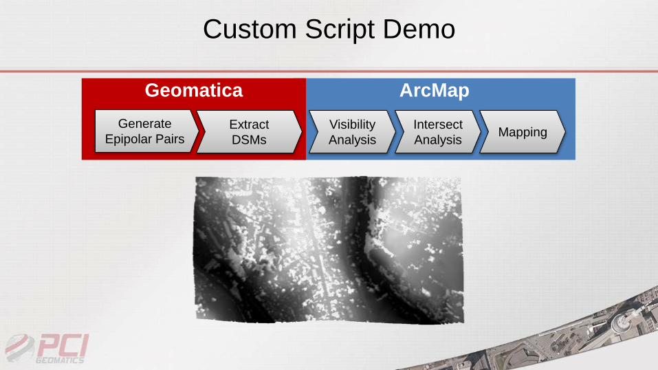
Extracted From Stereo Pair
1
Stereo Pair
2
Stereo Pair
3
ArcMapGeomatica
Generate
Epipolar PairsExtract
DSMs
Visibility
Analysis
Intersect
AnalysisMapping
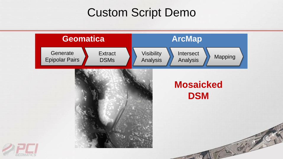
Custom Script Demo
Mosaicked
DSM
ArcMapGeomatica
Generate
Epipolar PairsExtract
DSMs
Visibility
Analysis
Intersect
AnalysisMapping
Custom Script Demo
ArcMapGeomatica
Generate
Epipolar PairsExtract
DSMs
Visibility
Analysis
Intersect
AnalysisMapping
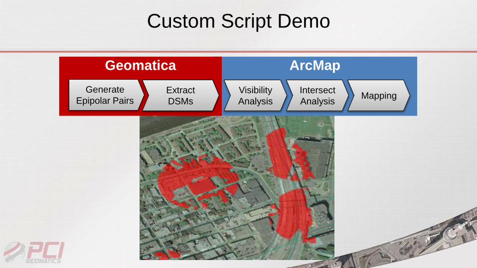
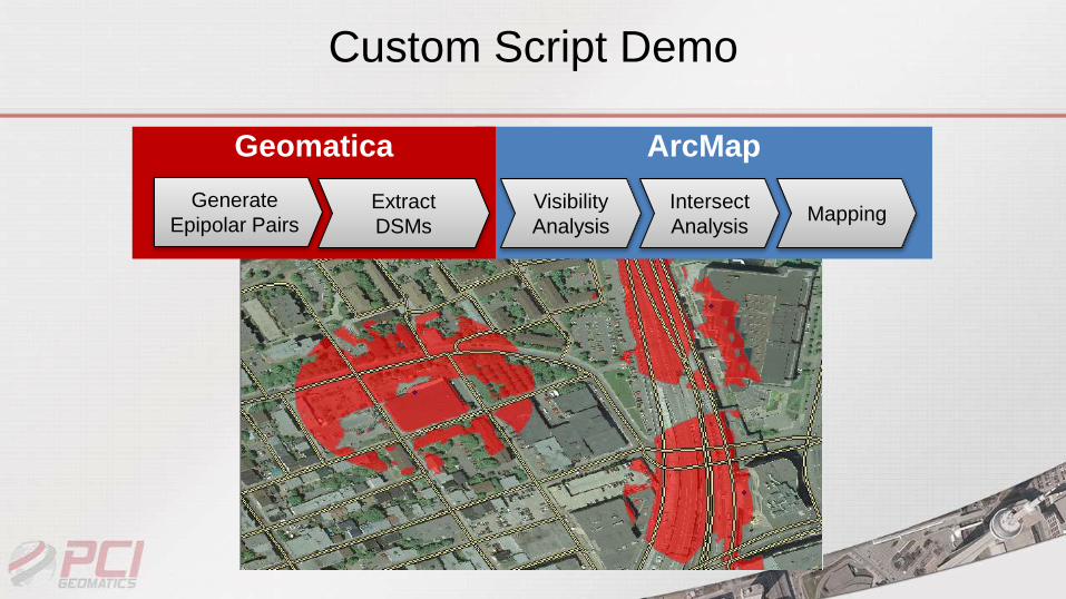
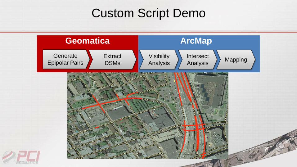
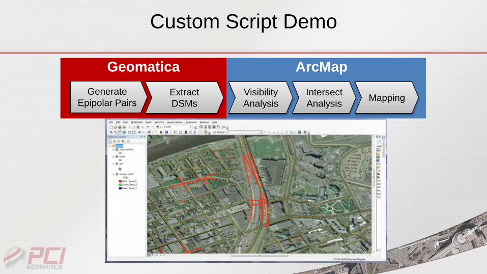
Custom Script Demo
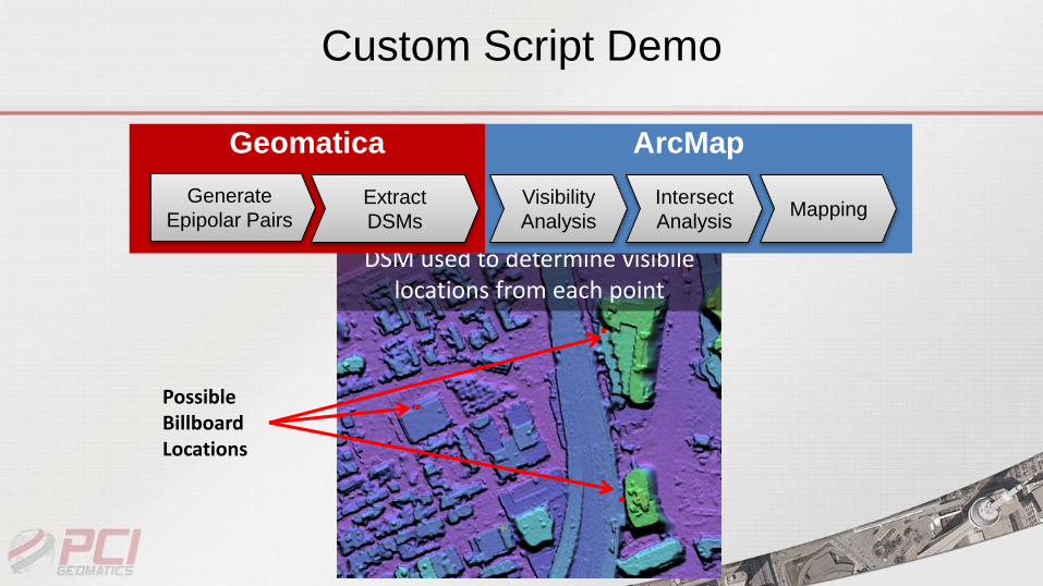
Possible Billboard Locations
DSM used to determine visibilelocations from each point
ArcMapGeomatica
Generate
Epipolar PairsExtract
DSMs
Visibility
Analysis
Intersect
AnalysisMapping
Custom Script Demo
ArcMapGeomatica
Generate
Epipolar PairsExtract
DSMs
Visibility
Analysis
Intersect
AnalysisMapping
Custom Script Demo
ArcMapGeomatica
Generate
Epipolar PairsExtract
DSMs
Visibility
Analysis
Intersect
AnalysisMapping
Custom Script Demo
ArcMapGeomatica
Generate
Epipolar PairsExtract
DSMs
Visibility
Analysis
Intersect
AnalysisMapping
Custom Script Demo
ArcMapGeomatica
Generate
Epipolar PairsExtract
DSMs
Visibility
Analysis
Intersect
AnalysisMapping
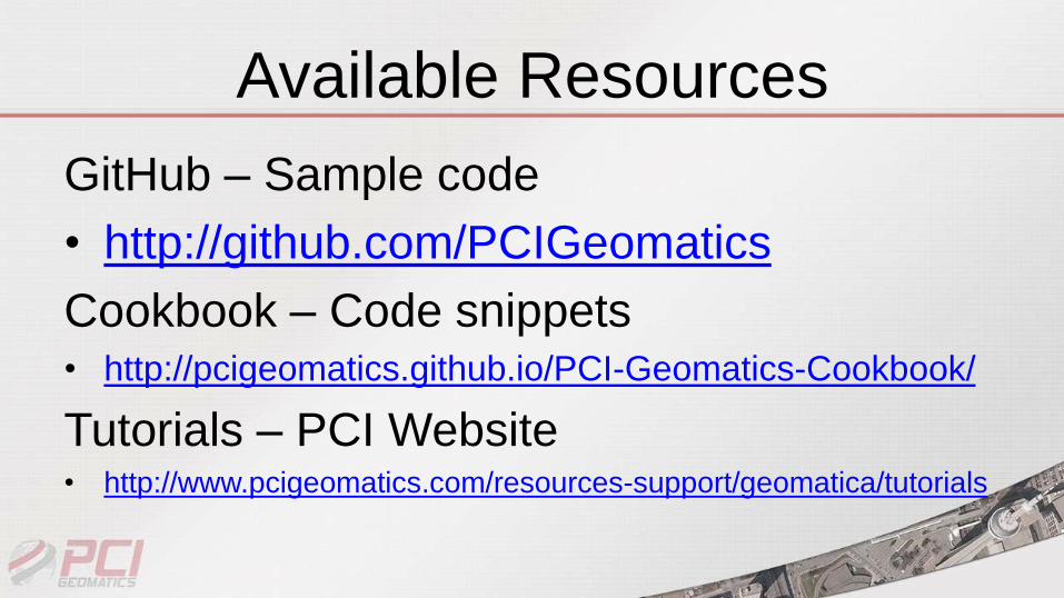
Available Resources
GitHub – Sample code
• http://github.com/PCIGeomatics
Cookbook – Code snippets• http://pcigeomatics.github.io/PCI-Geomatics-Cookbook/
Tutorials – PCI Website• http://www.pcigeomatics.com/resources-support/geomatica/tutorials
Contact PCI Geomatics
www.pcigeomatics.com