CHAPTER- III - Shodhgangashodhganga.inflibnet.ac.in/bitstream/10603/9410/14/14_chapter 3.pdf ·...
16
CHAPTER- III MATERIALS AND METHODS
Transcript of CHAPTER- III - Shodhgangashodhganga.inflibnet.ac.in/bitstream/10603/9410/14/14_chapter 3.pdf ·...
CHAPTER- III
MATERIALS AND METHODS

CHAPTER III
MATERIALS AND METHODS
3.1 Chhattisgarh State: A Profile
3.1.1 Introduction –
Chhattisgarh is one of the youngest States of the Indian nation. Chhattisgarh,
the 26th State of India, was carved out of Madhya Pradesh on November 1, 2000.
Chhattisgarh is located in the heart of India, and shares its borders with six States of
the country; Uttar Pradesh to the north, Jharkhand to the north-east, Orissa to the east,
Madhya Pradesh to the west and north-west, Maharashtra to the south-west and
Andhra Pradesh to the south-east. Chhattisgarh is located in the central part of India,
between the latitudes of 17°46–24°8 N and the longitudes of 80°15–84°24 E. 12% of
India's forests are in Chhattisgarh, and 44% of the State's land is under forests.
3.1.2 Geographical Area –
Total geographical area 136034.28 sq. Km. Jagdalpur is the largest district
(17016.040 Sq. Km.) while Kawardha is the smallest district (3958.01 Sq. Km.) in
area.
3.1.3 Administration –
In Chhattisgarh there are 5 divisional headquarters and 27 districts (Newly
found 9 Districts Baloda Bazar, Gariyaband, Balod, Bemetara, Sukama, Kondagaon,
Balrampur, Mungeli and Surajpur). 146 Tehsils and Blocks 86 Cities, 104 Towns,
20063 Villages, 10 Municipal Corporation and near about 10,000 Gram Panchyat.
3.1.4 Climate –
The climate of Chhattisgarh is mainly tropical, humid and sub-humid.

The average annual rainfall in Chhattisgarh is 1405.3 mm (maximum average annual
rainfall upto 1885.1 mm in Jashpur district).
Maximum temperature is observed at Raigarh and part of Janjgir-Champa
districts having more than 27°C temperature annually.
3.1.5 Soil –
Chhattisgarh has at least five different types of soil. In the districts of Bilaspur,
Surguja, Durg, Raipur and Bastar red and yellow loamy soil is dominant. Both are
low in nitrogen and humus content. A major part of paddy production comes from this
region. In the hill ranges, the soil is sandy loam, which is also suitable for paddy.
Laterite soil is good for cereal crops, while the black soil is best suited to cotton,
wheat and gram.
3.1.6 Rivers –
Chhattisgarh has been broadly divided in to three major drainage basins (a)
Mahandi (b) Godavari and (c) Son. Mahanadi is the main and the largest river of
Chhattisgarh called the “Life line of State”.
3.1.7 Agro-Climatic Zones of Chhattisgarh –
Chhattisgarh may be divided into 3 distinct agro climate zones.
Northern Hills Zones – To the north lie dense forests, hills and water
reservoirs. The districts that are part of this region are Surguja, Koriya, Jashpur nagar
and Dharamjaigarh Tehsil of Raigarh District. Chhattisgarh Plain - The districts that
fall in the central plains region are Raipur, Mahasamund, Dhamtari, Durg,
Rajnandgaon, Kabirdham, Bilaspur, Korba, Janjgir and part of Kanker District
(Narharpur & Kanker block) along with part of Raigarh District. Southern region
(Bastar Plateau) - The southern region of Chhattisgarh is known for its varied and

rich forests, its diverse tribal population and unique culture. The districts in this
region Jagdalpur, Dantewada, Bijapur and remaining part of Kanker District
3.1.8 Forests –
Chhattisgarh is rich in forest products. Forest products and mining are the
main sources of income for the state. Chhattisgarh Forests cover nearly 43.15% of the
total area of the state (State forest research institute). The northern and southern
regions of Chhattisgarh are hilly, whereas the central region is a fertile plain.
3.1.9 Medicinal and Aromatic Plants of Chhattisgarh –
The total number of botanical names of medicinal and aromatic plants is 2021
enlisted in this Database for Chhattisgarh. Each one of these plant entities is tagged
with one or more of the specific medical system recording its medicinal use. These
medical systems include Ayurveda, Siddha, Unani, Homeopathy, Tibetan, Western
and Folk. The master list of 2021 botanical names of medicinal plants of Chhattisgarh
has been further processed to link the botanical synonyms and after such processing,
the total number of plant species included in this exhaustive inventory of medicinal
plants of Chhattisgarh state stands at 1525 (Appendix - 1). The plant entities enlisted
in this inventory of medicinal plants of Chhattisgarh state belong to 911 genera and
196 families. These include 14 taxa at subspecies level. After incorporating the
linkages of botanical synonyms, the total number of medicinal plant species (taxa)
stand at 1525.(Source – FRLHT database, C.G.Medicinal plant board report,
2010)(Appendix -1).
3.1.10 Land under Agriculture use –
51.57% of the geographical area of the State (48,23,863 hectares) is net sown
area. Janjgir-Champa district has maximum percentage (71.17%) of net sown area

while Dantewada district has the lowest percentage (29.15%).
3.1.11 Population Statistics –
The total population of the State according to the 2001 Census, is 2.55 crore.
Of this, 76.76 percent of the people live in rural areas and 23.24 percent live in urban
areas. The State has a low density of population, 189 persons per square kilometer.
Sex ratio is 991 according to census of 2011 which is higher than the all India sex
ratio is 940(Census-2011.co.in).
3.1.12 Literacy –
In Chhattisgarh the rate of literacy is 71.04% of the total population. Male
literacy is 81.45% and female literacy is 60.59%. State ranks 27 th
among 35 states
and union territories in term of literacy.
3.1.13 Health –
In Chhattisgarh the total number of District Hospital are 16 and Civil Hospital
is 09 where as Community Health Centre (CHC) are 196 and Primary Health Centers
(PHC) are 1000 in number.
3.2 Description of the study area
The study covers 97 villages (Appendix 2 and Table 3.1 ) under Bilha,
Gaorela, Kota, Lorami, Marwahi, Masturi, Mungeli, Pathariya, Pendra and Takhatpur
Block in Bilaspur District, Bagicha, Duldula, Farshabahar, Jashpur, Kansabel,
Kunkuri, Manora and Patthalgaon Block in Jashpur District and Bhanupratappur,
Durgkondal, Koyalibeda, Narharpur, Charama, Kanker and Antagarh Block under
Kanker (Uttar Bastar) District of Chhattisgarh. The locale of the study area is showed
in the (Figure 3.1).

Figure 3.1 Map showing location of the study area.

Table 3.1 Studied villages in Bilaspur, Jashpur and Kanker District of C.G.
3.2.1 Study Area I: Bilaspur District –
Bilaspur district is situated between 21º 37 ' and 23º 7 ' N latitude and 81 º 12 '
and 83 º40 ' E longitude. Located in the central plains region of the State, Bilaspur is
part of the agricultural heartland of Chhattisgarh. Area of the district is 8569 sq. km.
The old Bilaspur district was divided into Bilaspur, Korba and Janjgir-Champa
districts in May 1998 and Mungeli districts in Jan. 2012.
Climate –
The climate of Bilaspur district is sub-tropical, semi arid, continental and
monsoon type. The average annual rainfall in district is about 58.cm. The climate is
ideal for agriculture development, particularly for wheat, rice, sugarcane and cotton
crops.
Natural resources –
The main rivers in the district are Sheonath, Arpa, Kharun, Aagar, Mand,
Sonbhadra, Leelagar and Maniyari and these provide adequate water. Forty percent of
the area of the district is forested. The forests are of Teak, Sal, Bamboo and other
mixed varieties. Other than this, minor forest produce, especially medicinal herbs and
plants, are collected from the forests. People want the management of forests to be
District No. of Blocks No. of Villages No. of Traditional Healers
Bilaspur 10 40 50
Jashpur 08 34 40
Kanker 07 23 35
Total 97 125

given to the people who live near the forests and feel that they should also be given
permission to use the forest produce. In degraded forests, the plantation and protection
of medicinal plants has been suggested. The encroachment of land must also stop and
pasture lands must be saved. The empty land within the boundaries of the village can
be used for plantation, sericulture, nurseries for lac trees, animal husbandry and the
plantation of medicinal plants.
Health and well-being
While there are health centers in the villages, they are usually short staffed and
do not have adequate supply of medicines. In tribal areas, plants are still used for the
treatment of ailments. In other areas, allopathic medicines are now being used. The
people want to move away from faith healers, yet they continue to use these systems
in the absence of suitable alternatives. They have also voiced a demand to prohibit the
sale of addictive substances. The people feel that they were healthier earlier due to
better food and clean water and air. The prevalence of malaria, tuberculosis, leprosy
and chicken pox is reported from some areas.
3.2.2 Study Area II: Jashpur District –
Jashpur is situated in the north-eastern part of the State between 22°
23° 0° latitude and 83° 84° 0° longitude. Area of the district is 6088 sq Km. This
district was part of Raigarh district till 25th of May 1998. North region of the district
is hilly and rocky containing balua soil on the small plains. It is rich in forest
resources and the majority of its Population belongs to the Scheduled Tribes. The
district incorporates rich tribe such as; Oroan, Nagwanshi, Gond & Kanwar as well as
most backward tribes like; Pahadi Korwa and Birhor. Oroan dialect “Kudukh” is
spoken in Oroan population area where as sadari dialect is widely spoken in Jashpur.

Climate –
The climate of the district is very peculiar with upper ghat much colder while
lower region is warm. The climate here is moist as heavy rainfall occurs here. The
average rainfall of the district is 1512.8 MM.
Natural resources –
People want to conserve surface water (rivers and rivulets) and rain water.
People in the rural areas have been utilising the natural resources (including water) for
agricultural and domestic use and other purposes related to livelihood. Now they want
to use modern techniques to optimise the use of these resources and they require
training to be able to do this. The forests in Jashpur are essentially sal forests,
interspersed with a few other varieties. The people are active in the forest protection
committees, and have prevented the illegal falling of trees. An area that needs
exploration is the extraction of medicinal plants from the forests. This can provide
local livelihood opportunities. The district has some deposits of bauxite but these are
not being adequately exploited. A strategic plan is required for the extraction of this
metal.
Health and well-being
With regard to health, superstitions and local medical practices are widely
prevalent. Even though people find traditional knowledge useful, they also consider
modern medicine beneficial. From May through August, malaria, diarrhea, vomiting
and fever are rampant in the villages of Jashpur. People express the need for
medicines and personnel to be adequately available in the PHCs. They voice a
demand for primary health care at the village level, and say that at least one health
worker should live in each village. Another aspect that is highlighted is the poor
infrastructure. Roads should be functional all year round. Travel becomes a problem
during the monsoon and it is impossible to go to the health centre with a patient. The
people are willing and eager to participate in Government's efforts to promote better
health practices. They want to initiate a campaign for health education and suggest the
holding of health camps to tackle specific diseases, and to increase awareness
regarding prevention and cure.
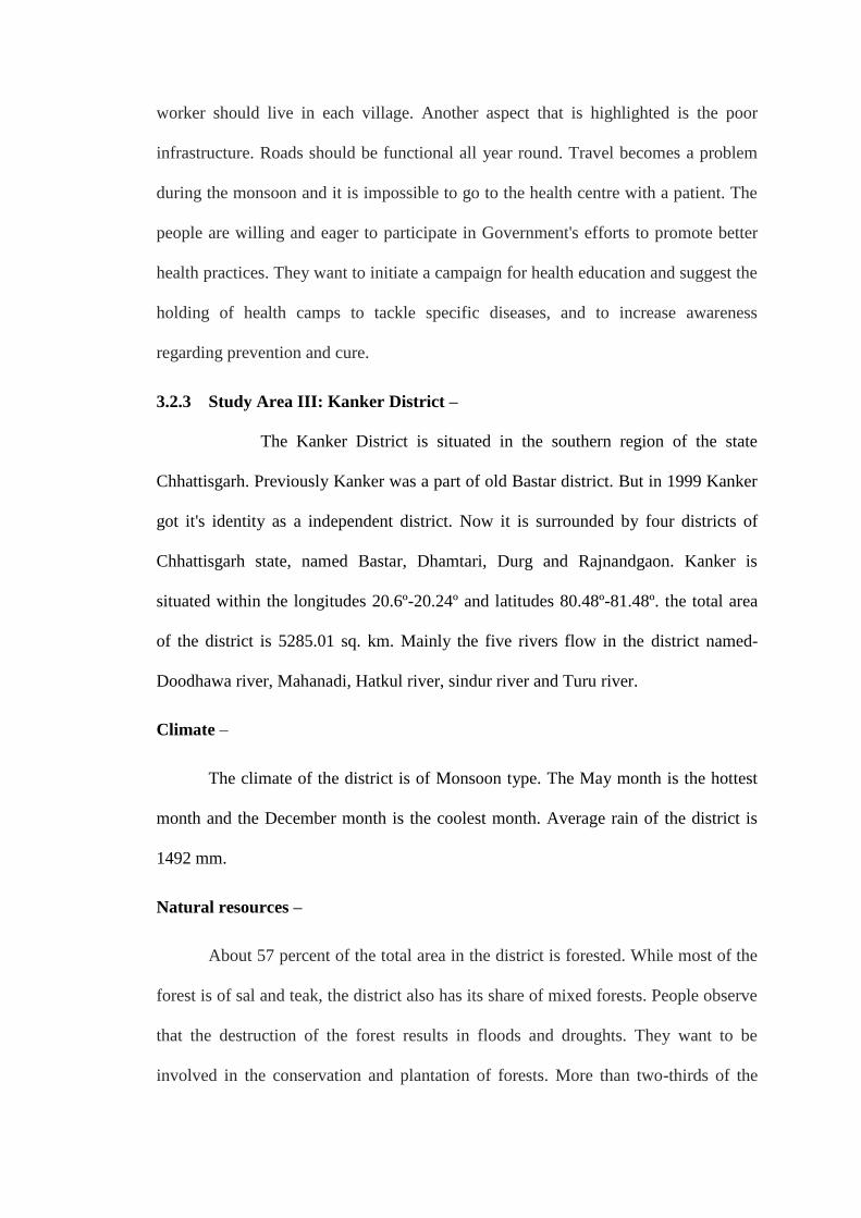
3.2.3 Study Area III: Kanker District –
The Kanker District is situated in the southern region of the state
Chhattisgarh. Previously Kanker was a part of old Bastar district. But in 1999 Kanker
got it's identity as a independent district. Now it is surrounded by four districts of
Chhattisgarh state, named Bastar, Dhamtari, Durg and Rajnandgaon. Kanker is
situated within the longitudes 20.6º-20.24º and latitudes 80.48º-81.48º. the total area
of the district is 5285.01 sq. km. Mainly the five rivers flow in the district named-
Doodhawa river, Mahanadi, Hatkul river, sindur river and Turu river.
Climate –
The climate of the district is of Monsoon type. The May month is the hottest
month and the December month is the coolest month. Average rain of the district is
1492 mm.
Natural resources –
About 57 percent of the total area in the district is forested. While most of the
forest is of sal and teak, the district also has its share of mixed forests. People observe
that the destruction of the forest results in floods and droughts. They want to be
involved in the conservation and plantation of forests. More than two-thirds of the

villages in the district suffer from a water problem. The villagers feel that the main
reason for this is the destruction of forests. Water conservation is a necessity and 97
percent of the villages are willing to contribute to this process. Since 68 percent of the
district relies on rain-fed agriculture, there is a demand for irrigation facilities and
modern techniques of cultivation. The land in the hill regions can also be used
productively, by leveling it. The District Report points out that the encroachment on
land needs to stop, so that common property resources can be used optimally.
Health and well-being
While both allopathic and homoeopathic medicines are reasonably developed
in the State, in the tribal areas traditional forms of treatment are practiced. With the
spread of education, people have started paying more attention to treatment methods.
During the summer months, 12 percent of the villages are affected by malaria and
gastroenteritis. During the monsoon the figure goes up to 31 percent. The main reason
for this is unhygienic water sources and the non-availability of clean drinking water.
Only 27 percent of the villages in the district have a Sub-Health Centre and 14.4
percent have a health worker. People advocate the introduction of health related
training and information dissemination. Some people demand the prohibition of
liquor. People are aware about the health needs of their livestock and express the need
for better facilities for the animals. They are willing to help in this task.
3.3 Study Population
Different communities were selected in Bilaspur, Jashpur and Kanker district,
The study was carried out in the district of Bilaspur, Jashpur and Kanker of
Chhattisgarh state of India. The survey was conducted to collect the information
regarding remote villages of Bilaspur, Jashpur and Kanker district from Block Office

and Divisional Forest Office. 3-5 tribal villages or 3-5 traditional Healers in each
Block were visited through periodical tour. Special attention was paid to record
information from local traditional herbal healer (Vaidya). (Figure 3.1). The
information on home remedies using the preventive and curative values of different
plant species documented involving the ethical guidelines adopted by the International
Society of Ethno-biology. The considered localities were expected to include a broad
variety of ecological and socio-economic environments. Interviews were conducted
during the January, 2009 to October, 2011, with approximately 1-2 informants in each
Villages (total number of informants 125; 104 (83.2%) Man, 21(16.8%) Woman)
(Figure 3.2 and Figure 3.3).
3.4 Time and procedure of data collection
Data for this study were collected through personal interview by the
researcher himself during January, 2009 to October, 2011 using questionnaires
prepared earlier (Appendix 3). Questions addressed to the informants were therefore,
mainly focused on the purpose of plant application, parts used, the manner of their
preparation and administration, forms of use, procurement method, place of
collection, date/season of collection, method of storage, and period of storage
confirmation. All possible efforts were made to explain the purpose of the study to the
respondents in order to get the actual and valid information from them. The
respondents were assured that the study was purely an academic one which is not
likely to have any adverse effect on them.
The interviews were conducted with the respondents in their houses. Proper
rapport was established with respondents so that they did not feel hesitation to furnish
answers to the question and statements in the schedule (Figure 3.4 and Figure 3.5).
The questions were explained and clarified whenever any respondent felt difficulty to

understand them. Excellent cooperation was obtained from all the respondents during
data collection.
3.5 Identification and classification
Voucher specimens of species mentioned by informants were collected. Where
necessary, the informants were invited to go to the field with the researcher to collect
the plants or were shown the plants later to confirm if the species were actually the
right plants. Plant species identification was carried out with the aid of available
floras, and field guides. Species identification was further confirmed by comparing
voucher specimens with herbarium specimens preserved at the DRTSD Herbarium,
Department of Rural Technology & Social Development, G.G.V. Bilaspur (C.G.).
3.6 Study of Soil profile
The soil sample of different block of Bilaspur, Jashpur and Kanker districts
were collected by digging about 6 inch deep. These soil samples where coded and
send to Biotech lab demonstration & training centre, Ambikapur, district Surguja
(C.G.) for complete soil analysis wiz (Appendix 4).
3.7 Secondary data collection
Secondary data were collected from different sources according to needs. Data
and information were collected from Chhattisgarh Medicinal Plant Board, Raipur
C.G., National Medicinal Plant Board, FRLHT, IUCN India Library, Tropical Forest
Research Institute, Jabalpur search from Internet, CD-Rom and previous research and
survey reports.
3.8 Data analysis
MS-Excel and SPSS programs were used to process all collected information
by microcomputer. Responses of the completed questionnaires were numerically

coded and analyzed. Descriptive statistics such as frequency and percentage
distribution were used to analyze data. In addition, graphs and tables were used to
interpret the findings.

Figure 3.2 Distribution of study population by sex.
0
10
20
30
40
50
60
70
80
90
Man Woman
83.2
16.8
Per
cen
tage
of
Info
rman
ts
Gender
0
10
20
30
40
50
60
70
GEN OBC ST SC
10.4
21.6
62.4
5.6Per
cen
tage
of
Info
rman
ts
Class

Figure 3.3 Distribution of study population by Class.
Figure 3.4 Photograph shows interview with informants.
Figure 3.5 Discuss in the Local Baigas.