Chapter 15 Mass Wasting. Mass wasting –The downslope movement of rock, regolith, soil, etc. under...
57
Chapter 15 Mass Wasting
-
Upload
miriam-girling -
Category
Documents
-
view
224 -
download
0
Transcript of Chapter 15 Mass Wasting. Mass wasting –The downslope movement of rock, regolith, soil, etc. under...

Chapter 15
Mass Wasting

• Mass wasting– The downslope movement of rock, regolith,
soil, etc. under the direct influence of gravity– Does not require a transporting medium
(water, air, ice)

• Plays a role in developing landforms (surface features)– Weathering, by itself, doesn’t produce
significant landforms– Landforms are developed as weathering
products are removed from their original place

Figure 15.2

• Weathering weakens & breaks rock apart
• Mass wasting transports the debris downslope– Generally to a stream, which carries material
away– This material may then be deposited
anywhere downstream– Ultimate destination – the ocean

• For mass wasting to occur, need slopes– that is, differences in elevation
• Most rapid mass wasting occurs in rugged, geologically-young mountains– as mtn building subsides, mass wasting &
erosion lowers the land– leads to a gentler terrain

• Causes of mass wasting– Water– Slope– Vegetation– Other “triggers”

• Water’s role– a major “trigger”– heavy rains or snowmelt saturate surface
materials– pores in sediment fill w/water, reducing
cohesion between particles– particles can then slide apart easily
• (ex.: use slightly wet sand to make a sand castle. Add more water to the sand, what happens?)

Figure 15.4

– Clay• A “dry” clay is fairly rigid• Wet clay is very “slick”
– Water also adds mass (“weight”), and helps to start movement of material downslope

• Effects of slope– If slope is too steep, material will move
(oversteepening)– Examples:
• Stream undercutting a valley wall• Waves pounding against a cliff• Human activity (that is, stupidity)

• Angle of repose– A characteristic of unconsolidated, granular
materials (sand size or larger)– The steepest angle where a pile of the
material is stable– Generally 25 – 40º from horizontal– Larger, more angular fragments form the
steepest slopes

• Vegetation– Root systems bind soil materials together– Plants also shield underlying materials from
erosional effects of raindrops– More important when the vegetation removed– Build a house on a scenic hillside, remove the
natural vegetation so you have a view & a “normal” house – wait for a few heavy rains
– Wildfires (or clear-cutting)• Removes vegetation• Land exposed for erosion

• Other triggers– Earthquakes – can dislodge rock &
unconsolidated materials that were semi-stable
– Liquefaction – shaking during EQ causes water-saturated sediments to lose strength & behave as a fluid
– Some movements occur without any obvious trigger
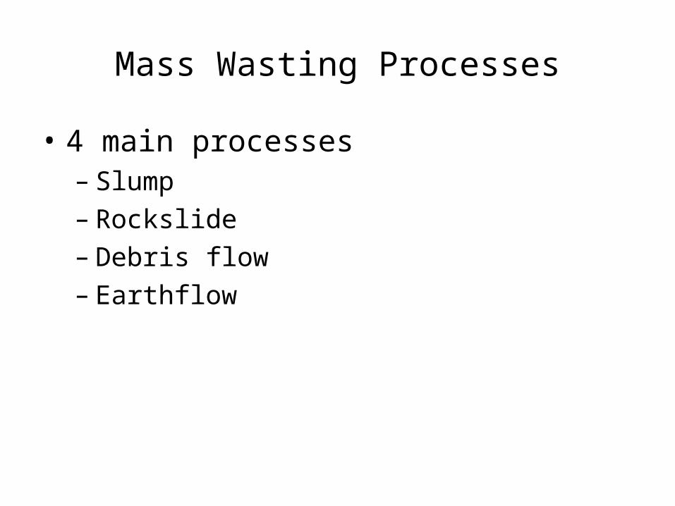
Mass Wasting Processes
• 4 main processes– Slump– Rockslide– Debris flow– Earthflow

• These classes based on:– Type of material– Kind of motion– Rate of motion

• Type of material– Unconsolidated or bedrock
• Type of motion– Fall, slide, or flow

• Fall: – The freefall of detached, individual pieces (of
any size)– “Watch for falling rock”

Figure 15.8B

Figure 15.8A

• Slide– The material remains fairly coherent– Moves along a well-defined surface
• This surface may be parallel to the slope, or curved
• “Landslide” – geologically, no definition. Yet, we all use the term to describe much mass wasting.

• Flow– Material moves downslope as a thick fluid– Material almost always saturated w/water

• Rate of movement– Most movement is quite slow (more in a bit)– Very rapid movement – generally asso. with
rock avalanches• Speeds >125 mph• As best we can tell, air becomes entrapped
beneath a mass of debris, creating a “rock hovercraft”

• Slumps– Downward sliding of a mass of rock/
unconsolidated material along a curved surface
– Material generally doesn’t move very fast or travel very far
– Often happens in multiple “blocks”

Figure 15.7A

– Slumps often the result of oversteepening of a slope• Examples (again)
– Valley wall cut by river– Waves – Overloading a slope (material deposited on top,
humans build on edge of a slope)

Figure 15.12

La Conchita, California, 1995
U.S. Geological Survey photo by R. L. Schuster

• Rockslide– Blocks of bedrock break loose, slide
downslope– If material relatively unconsolidated, called a
debris slide– These tend to be the fastest & most
destructive movements– In areas where rock strata are inclined, or has
joints/fractures parallel to the slope

Figure 15.7B
Editor’s goof

Figure 15.14

• Debris flow– Involves the flow of soil/regolith containing
large amounts of water– Also called mudflows– Generally seen in semiarid mountainous
regions, and slopes of some volcanoes• Flows often follow existing canyons & stream
channels

Figure 15.7C

• Flows in semi-arid areas– Heavy rain or rapid snowmelt results in
sudden floods– Large amounts of soil, etc., washed into
nearby streams– Rate of flow depends on area slopes & water
content of material– If flow dense enough, can carry or push large
boulders, trees, houses

• Lahars– A type of debris flow – defined as having 40%
or more by weight of volcanic debris– Mostly volcanic materials on the flanks of
volcanoes– May occur during eruption or when volcano
quiet• Unconsolidated layers of ash & debris become
water saturated & flow downslope• Caused by heavy rains, or melting of snow/ice as a
result of pre-eruption heatflow

• Earthflow– Generally occurs on hillsides in humid areas
as a result of heavy precipitation or snowmelt– Material involved often rich in clay/silt-sized
particles– Movement generally slow (up to several
meters per day)– And, this isn’t the slowest movement

Figure 15.7D

• Creep– The slowest of the movements– The gradual downhill movement of
soil/regolith– Often results from the alternate
expansion/contraction of surficial materials by freeze/thaw cycles or wet/dry periods

Figure 15.18

– Other causes of creep:• Impact of raindrops• Disturbance of material by plant roots
and/or burrowing critters• Saturation of ground with water (that pesky
fluid again!)

• Creep is a very slow process– We can’t sit there and observe it happening
(unless you have little else to do)– We can see the effects of it, after a bit of time

Figure 15.19

Soil Creep, Yosemite National Park, California
(A.A. Webb, Oct 2000)

Fenceposts and telephone poles, on the other hand, don't grow vertically and merely tilt on creeping slopes.

Another fence

Some other ideas
• Solifluction– The down-slope flow
of water-saturated soil– Occurs where water
can’t escape from a saturated surface layer
• Usually due to an underlying dense clay layer or an impermeable rock layer Lewis Hills, Gros Morne National
Park, Newfoundland

• Geologic dictionary defines this as occurring in high elevations in regions underlain by frozen ground, which acts as a downward barrier to water movement
• Rate of movement 0.5 to 15 cm/yr

• Permafrost– A layer of unconsolidated material containing
water which is frozen– May be 30 cm to over 1000 m thick (1 to 3000
ft)– When surface thaws (for whatever reason),
water cannot seep down due to frozen material deeper down
• Surface becomes a mushy muck

Figure 15.G

Figure 15.I
Log cabin shown here; any structure which generates heat

– Upper, thawed layer can slowly flow
– Alaska pipeline• A few years back• Pipeline from the North Slope to the coast• Oil needs to be warm to flow• The pipeline would wreck havoc to Alaska’s
permafrost area, not to mention the wildlife (oh, that’s biology or environmental science)


Geological activity has damaged the pipeline on several occasions. Since its completion in 1977, the pipeline has transported over 15 billion barrels of oil.

View of the pipeline's underside, heat pipes, and radiators. Outside Fairbanks, AlaskaAugust 1980.

• Mass wasting also occurs below the ocean surface– These just aren’t seen as much– Slides
• Along flanks of volcanic islands & seamounts• Along continental margins, especially near deltas• Contribute to tsunamis

• A final thought on mass wasting…….

The depth of weathering is visible in the distant cut. These homes (costing $200,000 and up, when the photo was taken) were built on landslide deposits. The landslide deposits contain the ruins of the previous housing development built here. (http://www.uwgb.edu/dutchs/EarthSC202Slides/SOILSLID.HTM)