CADIZ VALLEY WATER CONSERVATION, RECOVERY AND STORAGE PROJECT · For more information visit...
7
Questions & Answers CADIZ VALLEY WATER CONSERVATION, RECOVERY AND STORAGE PROJECT A reliable water supply for Southern California
Transcript of CADIZ VALLEY WATER CONSERVATION, RECOVERY AND STORAGE PROJECT · For more information visit...

Questions & Answers
CADIZ VALLEY WATER CONSERVATION, RECOVERY AND STORAGE PROJECTA reliable water supply for Southern California

For more information visit cadizinc.com
What is the Cadiz Valley Water Conservation, Recovery and Storage Project?The Cadiz Valley Water Conservation, Recovery and Storage Project is a water supply project that will actively manage the groundwater basin underlying a portion of the Cadiz and Fenner Valleys in California’s Mojave Desert, to conserve renewable native groundwater that would otherwise be lost to evaporation and create a new reliable water supply for Southern California.
The Project will be implemented in two phases. The first phase would capture approximately 50,000 acre-feet (1 acre-foot = 326,000 gallons) of groundwater per year from a wellfield on Cadiz Inc. private property and deliver it via a pipeline to the Colorado River Aqueduct to water users throughout Southern California. In wet years, water could be stored safely underground through active management by the wellfield. A second phase of the Project would use the available capacity in the soils beneath the ground to store up to 1 million acre-feet of imported water. The imported storage phase of the project will undergo a separate environmental review and permitting process after the first phase is implemented.
Where is the proposed Project? The Project is located in Cadiz, California at the base of the Fenner Valley and Orange Blossom Wash watersheds, which span approximately 1,300 square miles (roughly the size of the State of Rhode Island). The Project wellfield will be built on the Company’s property and a conveyance pipeline will be constructed along the Arizona & California Railroad (“ARZC”) right-of-way to connect the Project wellfield to the Colorado River Aqueduct near Rice, California (near Twentynine Palms, CA). Cadiz Inc. is the largest private landowner in the region with over 45,000 acres (70 square miles) of private land.
Who is participating in the Project?Multiple water providers that serve millions of Southern California water users have signed letters of intent, option agreements or purchase agreements with Cadiz Inc. to reserve water supplies from the Project. The Santa Margarita Water District (SMWD), Orange County’s second largest water retailer, was the first provider to join the Project and reserve Project supplies under contract. Additional project participants include Three Valleys Municipal Water District, Golden State Water Company, Suburban Water Systems, California Water Service Company, and Jurupa Community Services District. Cadiz has also reserved 20% of Project supplies for future use by any San Bernardino County-based water agencies and is in discussion with additional water providers interested in securing supplies from the Project.
The Arizona & California Railroad Company, which owns the right-of-way where the project’s conveyance pipeline will be constructed, is also participating in the Project and will be receiving water from the Project to serve critical railroad purposes
About the ProjectQuestions & Answers | 02
15
40
10
95
62
62
247
177
66
95
95
40
95
SAN BERNARDINO CO UNTY
RIVERSIDE CO UNTY
CALIFORNIA
AR IZONA
CALIFORNIA
NEVADA
Co l o r a d o R i v er Aqu edu c t
Co lo ra do Ri ve r Aqu ed uc t
Co
lora
do
Ri v
er
ARZC Rai l r oa d
B NSF R ai l ro ad
Iron MtnPumping Plant
Eagle MtnPumping Plant
Copper MtnReservoir
MojaveNationalPreserve
Joshua TreeNational
Park
Lake Havasu City
Palm Springs
MohaveValley
AmboyCadiz
Cathedral City
Desert HotSprings
Ludlow
RiceTwentynine Palms
Vidal Junction
Yucca Valley
BullheadCity
0 10
Miles
Area ofDetail
SanFrancisco
LosAngeles
LasVegas
N e v a d a
Arizon
a
C a lif or nia
I d a h o
U t a h
O r e g o nProposed Project Area
Cadiz Property
Needles
Map of Project facilities
Why is the water needed and who will use it?Southern California is an arid region and, in addition to frequent droughts, faces a long-term water crisis due to regulatory restrictions on its imported water supplies, population growth and rising costs. As a result, water providers must identify reliable, high-quality and affordable water supplies to build a balanced water supply portfolio and keep costs low for rate payers. Most Southern California communities, including towns across the inland desert region as well as the coast, rely on water imported from northern California and the Colorado River, and these supplies have become increasingly unreliable, especially in dry and drought years. The Cadiz Project offers certainty in both wet and dry years that water will be available.
Water users throughout Southern California in the service areas of the Project’s participating agencies will receive supplies from the Project. These participating agencies serve customers in Riverside, San Bernardino, Orange, Los Angeles, Imperial and Ventura Counties.

For more information visit cadizinc.com
Where does the water come from?The Project is located at the base of the Fenner Valley and Orange Blossom Wash watersheds in California’s Mojave Desert. Every year, precipitation falls on the mountains in the watersheds as rain and snow. This water gradually percolates underground and is stored deep beneath the surface in the aquifer system. The underlying rock layers provide ideal conditions for storage of this pure water; research has found that 17-34 million acre-feet of water is currently stored in the alluvium beneath the Project area, as much as is stored in Lake Mead, the nation’s largest surface reservoir. Even more water is believed to be stored further underground in carbonate rock layers.
Groundwater in storage naturally flows downhill through the aquifer system over hundreds of years and ultimately to area dry lakes at the base of the watershed, where it becomes highly-saline and evaporates through the surface. To minimize the loss of this clean groundwater to evaporation, Project wells will intercept the groundwater and capture it before it reaches the highly-saline brine. Once implemented, the Project would conserve and recover millions of gallons of water every year for beneficial use throughout Southern California.
About the Water Resource
Southwest
BristolDry
Lake
MarbleMountains
Providence Mountains
OrangeBlossom
Wash
BristolMountains
BristolMountains
ClipperMountains
NaturalRecharge
Brine
Bedrock
FennerGap
FennerGap
CarbonateRock Unit
Fenner Watershed
Northeast
Looking Northwest
5 miles
INTERSTATE40
INTERSTATE40
Portion of Cadiz Inc. Land Ownership in the Cadiz & Fenner Valleys
Existing Agriculture
NOT TO SCALE
Illustration of the watershed and groundwater system at the Project area
Is the water supply renewable?Detailed scientific analysis of the Project’s watersheds over many years has confirmed that the groundwater in the system is naturally renewable. A variety of scientific models have been used to estimate the amount of recharge occurring annually in the Watersheds sur-rounding the Project area.
In 2008 the United States Geological Survey (USGS) developed a model called INFIL 3.0 to estimate groundwater recharge. Applying the INFIL 3.0 model, which incorporated extensive data about local soils, vegetation, precipitation, temperatures, rock types, and field research of the Cadiz and Fenner Valleys, an estimated 32,000 acre-feet per year was projected as a long-term average amount of water that reaches below the root zone to become groundwater at the Project area.
How much water can be delivered to participants?Withdrawals of water will be limited to sustainable amounts that preserve the health of the aquifer and safeguard the desert ecosystem. Over the 50-year term of the Project, an average of approximately 50,000 acre-feet of water per year will be conserved and put to beneficial use in Southern California communities. This is enough water to serve about 400,000 people per year and significantly less water than could be used if Cadiz Inc.’s property, which is currently zoned for agricultural production, is farmed instead.
Questions & Answers | 04
For more information visit cadizinc.com
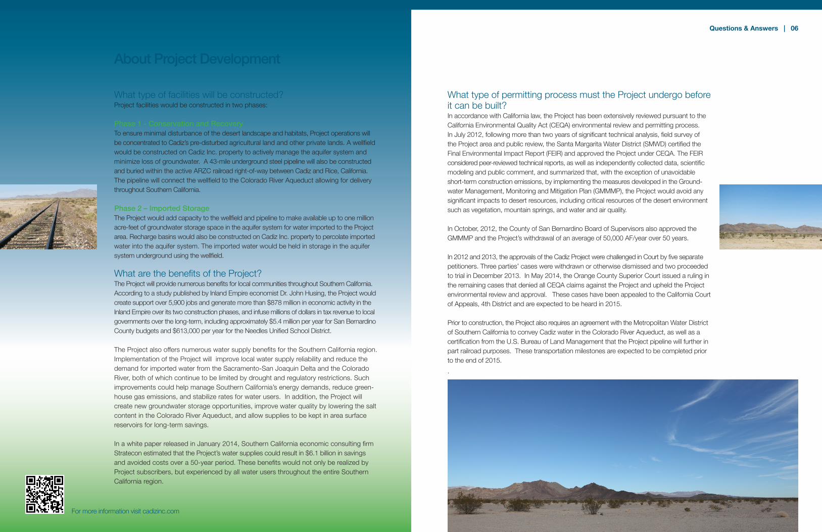
What type of facilities will be constructed?Project facilities would be constructed in two phases:
Phase 1 - Conservation and RecoveryTo ensure minimal disturbance of the desert landscape and habitats, Project operations will be concentrated to Cadiz’s pre-disturbed agricultural land and other private lands. A wellfield would be constructed on Cadiz Inc. property to actively manage the aquifer system and minimize loss of groundwater. A 43-mile underground steel pipeline will also be constructed and buried within the active ARZC railroad right-of-way between Cadiz and Rice, California. The pipeline will connect the wellfield to the Colorado River Aqueduct allowing for delivery throughout Southern California.
Phase 2 – Imported Storage The Project would add capacity to the wellfield and pipeline to make available up to one million acre-feet of groundwater storage space in the aquifer system for water imported to the Project area. Recharge basins would also be constructed on Cadiz Inc. property to percolate imported water into the aquifer system. The imported water would be held in storage in the aquifer system underground using the wellfield.
What are the benefits of the Project?The Project will provide numerous benefits for local communities throughout Southern California. According to a study published by Inland Empire economist Dr. John Husing, the Project would create support over 5,900 jobs and generate more than $878 million in economic activity in the Inland Empire over its two construction phases, and infuse millions of dollars in tax revenue to local governments over the long-term, including approximately $5.4 million per year for San Bernardino County budgets and $613,000 per year for the Needles Unified School District. The Project also offers numerous water supply benefits for the Southern California region. Implementation of the Project will improve local water supply reliability and reduce the demand for imported water from the Sacramento-San Joaquin Delta and the Colorado River, both of which continue to be limited by drought and regulatory restrictions. Such improvements could help manage Southern California’s energy demands, reduce green-house gas emissions, and stabilize rates for water users. In addition, the Project will create new groundwater storage opportunities, improve water quality by lowering the salt content in the Colorado River Aqueduct, and allow supplies to be kept in area surface reservoirs for long-term savings.
In a white paper released in January 2014, Southern California economic consulting firm Stratecon estimated that the Project’s water supplies could result in $6.1 billion in savings and avoided costs over a 50-year period. These benefits would not only be realized by Project subscribers, but experienced by all water users throughout the entire Southern California region.
About Project Development
What type of permitting process must the Project undergo before it can be built?In accordance with California law, the Project has been extensively reviewed pursuant to the California Environmental Quality Act (CEQA) environmental review and permitting process. In July 2012, following more than two years of significant technical analysis, field survey of the Project area and public review, the Santa Margarita Water District (SMWD) certified the Final Environmental Impact Report (FEIR) and approved the Project under CEQA. The FEIR considered peer-reviewed technical reports, as well as independently collected data, scientific modeling and public comment, and summarized that, with the exception of unavoidable short-term construction emissions, by implementing the measures developed in the Ground-water Management, Monitoring and Mitigation Plan (GMMMP), the Project would avoid any significant impacts to desert resources, including critical resources of the desert environment such as vegetation, mountain springs, and water and air quality.
In October, 2012, the County of San Bernardino Board of Supervisors also approved the GMMMP and the Project’s withdrawal of an average of 50,000 AF/year over 50 years.
In 2012 and 2013, the approvals of the Cadiz Project were challenged in Court by five separate petitioners. Three parties’ cases were withdrawn or otherwise dismissed and two proceeded to trial in December 2013. In May 2014, the Orange County Superior Court issued a ruling in the remaining cases that denied all CEQA claims against the Project and upheld the Project environmental review and approval. These cases have been appealed to the California Court of Appeals, 4th District and are expected to be heard in 2015.
Prior to construction, the Project also requires an agreement with the Metropolitan Water District of Southern California to convey Cadiz water in the Colorado River Aqueduct, as well as a certification from the U.S. Bureau of Land Management that the Project pipeline will further in part railroad purposes. These transportation milestones are expected to be completed prior to the end of 2015. .
Questions & Answers | 06

How will the Project proponents ensure the environment is protected?As a member of the Cadiz Valley community for over 25 years, Cadiz Inc. is committed to the highest standard of environmental protection and good stewardship of the surrounding desert environment and water resources. In 2009, Cadiz Inc. entered into a Green Compact with the Natural Heritage Institute (NHI) to ensure that its projects operate sustainably. Since that time, the Company has also invested in significant technical and environmental analysis of the Project area to ensure that the environment is always protected. A Groundwater Stewardship Committee (GSC) comprised of leading experts from various fields including geology, groundwater, hydrology, water regulation, environmental protection, and academia, reviewed the Project’s technical analysis of the four potential impact areas: springs, subsidence, air quality and water quality, as well as the Project’s operating plan and monitoring program. After completing its review in October 2011, the GSC concluded that with long-term management and monitoring, the Project could offer a significant water supply to Southern California communities without harm to the desert environment.
The GSC’s specific recommendations for monitoring and mitigation measures were incorporated into the project’s GMMMP. The County of San Bernardino will independently enforce the GMMMP monitoring program, which will employ more than 40 monitoring wells, air-monitoring devices and new weather stations. All monitoring reports will be filed with the County and made available to the public. The GMMMP also includes corrective actions and mitigations measures that would be implemented to prevent any potential impacts. In addition, the County established a “floor,” or maximum drawdown level, for Project operations, according to which groundwater levels cannot fall more than 80ft (subject to increase to 100 feet if protective conditions are met) below the current water table over a two mile radius from the center of the Project wellfield area. The floor is designed to ensure that the Project avoids overdraft or any undesirable results.
For more information visit cadizinc.com
About Environmental Protection
Questions & Answers | 08
Will Project operations deplete nearby springs?Springs are found in the upper elevations of the 1,300 square-mile watershed, far from the Project area. The springs are fed first from above by the rain and snow that falls at higher elevations. Water that does not reach a spring filters through the crevices in the rock layers to become part of the aquifer system.
The nearest spring to the Project area is Bonanza Spring located in the Clipper Mountains at 2,100 feet in elevation. It is approximately 11 miles from the Project area and is situated more than 1,000 feet above the saturated alluvial aquifer system.
According to extensive scientific analysis conducted there is no physical hydrologic connection between the springs in the upper elevations of the watershed and the groundwater stored in the alluvial aquifer beneath the Project area. As a result, pumping water from the aquifer system beneath the Project area, miles away and deep below ground surface, could not harm the springs. Bonanza Spring will be monitored to demonstrate that it is not impacted by the Project.
Will the Project reduce water levels in other private wells?Most of the area’s private wells are located at higher points in elevation and draw water before it reaches the alluvial aquifer system at the Project area. As a result, other private wells are not expected to be affected by the Project. Water levels may fluctuate closer to the Project area and could lead to fluctuations (both up and down) in wells nearest the Project. To ensure that the Project does not impact these private wells, any well owner can be monitored by the Project’s GMMMP. The monitoring features will quickly identify and address any indications of impacts to well levels and these impacts would be mitigated.
Will Project operations increase dust in the area?Extensive study of the chemistry composition of the Bristol and Cadiz Dry Lakes confirms that unlike surface water fed dry lakes playas in California, such as Owens Lake, the crusts of the Bristol and Cadiz Dry Lakes, which are fed only by groundwater and are comprised of calcium chloride, are not susceptible to increased dust emissions from dewatering, because the chemical is known to bind rather than disperse. As a result, extensive scientific study has found that Project operations will not harm air quality in the area. Nevertheless monitoring devices, including air nephelometers, will be deployed throughout the Project area to ensure there are no expected impacts.
THE SPRINGS
About the Springs
• SpringsarelocatedinhigherelevationsoftheProject’swatershed andover10milesfromtheProjectarea.
• Waterissuppliedtoareaspringsbyprecipitationandsurfacerunoff thatoccursabove.
• SpringsareNOTsuppliedbyorconnectedtotheProject’s groundwateraquifersystembelow.
ProvidenceMountains
ClipperMountains
Spring
MitchellCaverns
Water Table
NOT TO SCALE
What is the quality of the groundwater that would be withdrawn from the aquifer? The vast watershed surrounding Cadiz has very few overlying land uses and is free from the threat of bacterial waste and industrial contamination. Total Dissolved Solids (TDS), a key measurement for determining water quality, typically ranges from 300 to 400 milligrams per liter (mg/L) at Cadiz, significantly lower than California’s Colorado River supply which can be as high as 800 mg/L in drier years.
High levels of TDS in water can clog pipes and machinery, drive up water heating prices and can damage agricultural crop production. According to the Southern California Salinity Coalition, increased salinity is one of the most under-recognized water quality threats in the Southwest. A recent report from engineering consulting firm CH2M found that blending Cadiz water into the CRA will save Southern California ratepayers $395 million over the life of the Cadiz Project.
Cadiz groundwater has also been tested for metals, including Chromium. Chromium is a heavy metal and the 11th most common element in the earth’s crust. It can naturally occur as Chromium-3 or Chromium-6 in groundwater when manganese in the groundwater oxidizes.
Will Project water need to be treated to remove Chromium-6?In July 2014, the State of California adopted a new MCL for Chromium-6 at 10ppb. Chromium is naturally occurring at Cadiz, and Chromium-6 has been measured at levels slightly above the new MCL in some wells. According to the California Department of Public Health, close to 2,500 public drinking water sources in California have measured levels of Chromium-6 greater than 1 ppb, including other desert groundwater basins such as the Coachella Valley.
Cadiz Inc. has partnered with ATEC Systems Associates Inc., a water treatment technology firm, to treat Project water supplies on site to below the Chromium-6 MCL prior to entering the Colorado River Aqueduct for delivery to Project participants. Pilot testing results demonstrate that the ATEC technology can cost-effectively remove Chromium-6 at Cadiz to a level substantially below the new California State standard. Water will never be delivered to any end user of the Cadiz Project that exceeds an MCL for any constituent, including Chromium–6.
For more information visit cadizinc.com
About Water Quality
Questions & Answers | 10
How can I learn more about the Project?
Useful information is posted online about the Project at the following websites: Cadiz Inc. | http://www.cadiziwaterproject.com and www.water4socal.comSanta Margarita Water District | http://www.smwd.com
In addition, questions can be emailed to [email protected] About Cadiz Inc.Founded in 1983, Cadiz Inc. is a publicly-held renewable resources company that owns 70 sq. miles (45,000 acres) of land and water rights in the eastern Mojave Desert, where the Project would be located. Cadiz Inc. is one of the largest private landowners in San Bernardino County.
For more than 25 years, the Company has operated an organic farm at its Cadiz Valley property using groundwater to irrigate a variety of crops, including lemons, dried-on-the-vine raisins and assorted vegetables. Cadiz Inc. abides by a wide-ranging “Green Compact” at its properties following sustainable management practices and has pledged to implement the Project without harm to the desert environment.
Organic vineyard at Cadiz Ranch

For more information, please visit Cadiz Inc.
www.cadizinc.com
Santa Margarita Water District www.smwd.com