Birmingham Neighborhoods
1
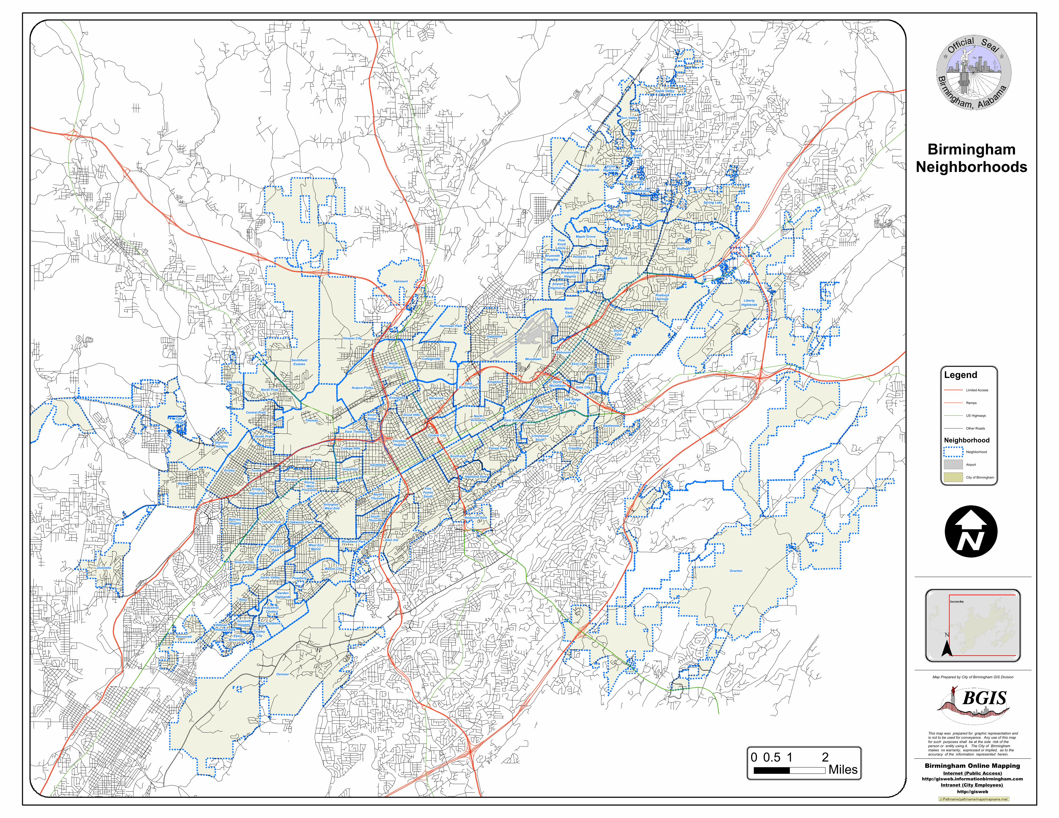
Apple Valley Sherman Heights Sun Valley Sun Valley Spring Lake Echo Highlands Echo Highlands Hooper City Killough Springs Bridlewood Bridlewood Liberty Highlands Huffman Roebuck Maple Grove Pine Knoll Vista Brummitt Heights Penfield Park Smithfield Estates Fairmont Zion City Brownsville Heights Roebuck Springs Airport Highlands North East Lake Harriman Park Inglenook Woodlawn Wahouma Collegeville East Lake North Birmingham Brown Springs Acipco-Finley Sandusky South East Lake East Birmingham Kingston North Pratt South Woodlawn Gate City Norwood Evergreen Thomas Oak Ridge Park Crestwood North Eastwood Druid Hills Central Pratt East Avondale North Avondale Enon Ridge Fountain Heights Central City Crestwood South East Thomas Crestline Oak Ridge Forest Park South Pratt Southside Smithfield College Hills Bush Hills Redmont Park Five Points South Ensley Graymont Tuxedo Highland Park Wylam Ensley Highlands Fairview North Titusville Arlington - West End Rising - West Princeton Central Park Glen Iris South Titusville Belview Heights Oakwood Place Dolomite Germania Park West End Manor Woodland Park Green Acres Overton Jones Valley Mason City Powderly Oxmoor Riley Garden Highlands Tarpley City Industrial Center West Goldwire Grasselli Heights Hillman Roosevelt Hillman Park East Brownville Legend Limited Access Ramps US Highways Other Roads Neighborhood Neighborhood Airport City of Birmingham 0 1 2 0.5 Miles I Overview Map ¯ This map was prepared for graphic representation and is not to be used for conveyance. Any use of this map for such purposes shall be at the sole risk of the person or entity using it. The City of Birmingham makes no warranty, expressed or implied, as to the accuracy of the information represented herein. Map Prepared by City of Birmingham GIS Division Birmingham Online Mapping Intranet (City Employees) http://gisweb Internet (Public Access) http://gisweb.informationbirmingham.com J:/Pathname/path/name/maps/mapname.mxd Birmingham Neighborhoods
Transcript of Birmingham Neighborhoods
Apple Valley
ShermanHeights
SunValley
Sun Valley
Spring Lake
EchoHighlands
EchoHighlands
Hooper City
KilloughSprings
Bridlewood
Bridlewood
LibertyHighlands
Huffman
Roebuck
Maple GrovePineKnollVista
BrummittHeights Penfield Park
SmithfieldEstates
Fairmont
Zion CityBrownsvilleHeights
RoebuckSprings
AirportHighlands
NorthEastLake
Harriman Park
Inglenook
WoodlawnWahouma
CollegevilleEast LakeNorth
Birmingham BrownSprings
Acipco-FinleySandusky
SouthEastLake
EastBirmingham
Kingston
North Pratt
SouthWoodlawn Gate City
NorwoodEvergreen
Thomas
Oak RidgePark
CrestwoodNorth
Eastwood
Druid HillsCentral PrattEast Avondale
NorthAvondale
EnonRidge
FountainHeights
Central City CrestwoodSouth
East Thomas
Crestline
OakRidge
Forest Park
South Pratt
Southside
Smithfield
College Hills
Bush Hills
Redmont Park
FivePointsSouth
Ensley GraymontTuxedoHighland Park
WylamEnsley
Highlands
Fairview
NorthTitusville
Arlington- West End
Rising- West
Princeton
Central Park
Glen Iris
SouthTitusvilleBelview
Heights Oakwood Place
Dolomite
GermaniaPark
West EndManor
Woodland Park
Green Acres
OvertonJones Valley
Mason City
Powderly
Oxmoor
RileyGarden
Highlands
TarpleyCity
IndustrialCenter
West GoldwireGrasselliHeightsHillman
RooseveltHillman Park
EastBrownville
LegendLimited Access
Ramps
US Highways
Other Roads
NeighborhoodNeighborhood
Airport
City of Birmingham
0 1 20.5Miles
IOverview Map
¯
This map was prepared for graphic representation andis not to be used for conveyance. Any use of this mapfor such purposes shall be at the sole risk of the person or entity using it. The City of Birmingham makes no warranty, expressed or implied, as to the accuracy of the information represented herein.
Map Prepared by City of Birmingham GIS Division
Birmingham Online MappingIntranet (City Employees)
http://gisweb
Internet (Public Access)http://gisweb.informationbirmingham.com
J:/Pathname/path/name/maps/mapname.mxd
BirminghamNeighborhoods