ArcGIS Enterprise: What's New and Road Ahead · David Jacob. Solution Engineer, Natural Resources....
46
David Jacob Solution Engineer, Natural Resources ArcGIS Enterprise: What's New and Road Ahead
Transcript of ArcGIS Enterprise: What's New and Road Ahead · David Jacob. Solution Engineer, Natural Resources....

David Jacob
Solution Engineer, Natural Resources
ArcGIS Enterprise: What's New and Road Ahead

User Types
• New licensing model for users beginning at 10.7
• Provides the much requested ‘intermediate level’ user
• Each user type has an identity, capabilities and included applications
• Match your licensing to your workflows
EditorField Worker
Viewer(equivalent to L1)
GIS ProfessionalCreator(equivalent to L2)
Editing Authoring, Mapping, & AnalysisViewing

ArcGIS Enterprise Sites

Sites and pages
• Tailor the entryway into your GIS
• Display the data that matters most to the users looking for it
• Drag-and-drop builder
• HTML and CSS options
New at 10.7:
• Rich text editing
• Direct upload of images
• Choose an image focal point
• Streamlined UI for adding widgets

ArcGIS Indoors
• Complete system for indoor mapping used to create a connected workplace
Tracker for ArcGIS
• New mobile and web app for tracking your workforce, improving situational awareness
ArcGIS Excalibur
• Imagery exploitation and management web application
New applications & products

Create offline map areasSupport offline field workflows
Create pre-determined map areas to take offline:
- Makes it easier and faster to package up and take maps offline
- Update offline areas on a schedule to reflect changes in your web map
- Use in apps built using the Runtime SDK or Collector for ArcGIS

GeoAnalytics ServerBig data processing and analysis
New tools:- Clip, Dissolve, Merge
- Forest-Based Classification and Regression
- Generalized Linear Regression
New extensibility:Run Python Script
- Leverage pyspark & all subpackages
- Run SQL queries
- Chain tools together
+ write analysis results back to your own data stores

ArcGIS Notebook ServerHost Python notebooks in your infrastructure
A powerful data science platform- Uses Docker containers to isolate each
notebook author’s workspace
- Code with the Python API and ArcPy
- Dynamic mapping and visualization
Integrated with your portal- Users are granted notebook privileges
via portal user roles
- Add and reference portal items
- Share notebooks in the portal
Comes with a rich gallery of sample notebooks to illustrate workflows

ArcGIS Notebook ServerHost Python notebooks in your infrastructure
Session
ArcGIS Notebooks for Data Science
Thursday, May 16
9:30 am - 10:30 am
Grand Ballroom B

Administrative

An action occurs.• Something is
published• A user creates a
new account• An item is deleted
The webhook is triggered.• Delivers JSON
description of event• Relevant info fields
Your platform of choice kicks in.• IFTTT• Zapier• Microsoft Flow
It performs an action.• Emails you• Posts in Slack• Alexa announces it• Turns on your lights
Introducing webhooksAutomate notifications based on portal actions

Demo: Webhooks

Webhooks3 example use cases
- /groups: When someone shares an item to a collaboration group, notify group members through Slack.
- /items: If the sharing settings are changed for a layer that contains confidential information, email administrators.
- /users: Once a user is deleted, notify your admin via text.

Webhooks
- New events added at 10.7.1
- /user login: - Notify me when a specific user logs in- Notify me when a specific user logs out

New for administration of ArcGIS Server
1Request ID• Each request gets a unique ID• Query logs using ID for a comprehensive
timeline
Request IDServer Administrator Directory
2 Inactivity properties• Suspend and then unregister inactive machines
after a set duration• Particularly useful for large cloud deployments

3 Jobs page• Query the status of geoprocessing jobs in
Server Manager• Select by service, status, age, machine to see
the status, start & end time, duration and machine
New for administration of ArcGIS Server
Jobs pageServer Manager

Shared instance pool

A R C G I S S E R V E R S I T E
Service
C L I E N T A P P S
Service
ArcSOC.exe ArcSOC.exe

?
✔
?
✔
A R C G I S S E R V E R S I T E
C L I E N T A P P S
Service Service

A R C G I S S E R V E R S I T E
C L I E N T A P P S?
✔
?
✔
?
Performance delay
Service Service

A R C G I S S E R V E R S I T E
C L I E N T A P P S
Dedicated instance pools
Service Service

A R C G I S S E R V E R S I T E
C L I E N T A P P S
Goal: Optimize instances so you’re only using as
many as you need.
$ $ $
Service Service

• Conserve memory and power usage from unused instances…without performance impact
• Isolate high-volume services in dedicated pools
• Reduce administrative overhead of maintaining separate pools for all services
A R C G I S S E R V E R S I T E
Participants:MapService2MapService3MapService4FeatService1FeatService2FeatService3
6 ArcSOCs
Shared instance poolNew at 10.7

FeatService1
MapService3 MapService4
MapService2 FeatService2
MapService1
GPService
Less frequent
traffic
Frequent traffic
A R C G I S S E R V E R S I T E
FeatService3

Demo: Shared Instances

When to use shared instances
• Ensure your map service is eligible:- Published from ArcGIS Pro
- Uses only supported capabilities: Feature Access, KML, WMS, WFS
• Consider the load that the service handles on a regular basis- Services that are currently set to min instances = 0
- Services that you wish you could set to min instances = 0(but where you aren’t willing to live with the cold start cost)
- Cached map services that predominately serves cache but needs to be able to respond to query and identify requests once in a while
- Services that receive relatively few requests- Very rough rule of thumb: less than one request per minute on average

When not to use shared instances
• Any ineligible map service- Published from ArcMap
- Unsupported capabilities: Network Analysis,Network Diagrams, Utility Network, etc.
- Custom SOEs or SOIs
- If you need per-service control over service timeouts
• Services that receive a lot of requests- Foundational operational layers used across many or most of your maps and apps
• Any other service types than map services- Geocoding, geoprocessing, etc.

Data & publishing

Area of interestNew option for hosted feature layer views
1. Feature definition
2. Field definition
3. New: Area of interest
Keeps the connection to the source data while displaying only what you want to show
Why? I want some users to have access to data only in their geographic area.

DomainsNew for hosted feature layers
Examples: true/false, certain cities, statuses/conditions, names, etc
- Constrain attribute values
- Long-time feature of geodatabases
- Can use permitted values in field applications like Collector for ArcGIS
- Enforces data integrity and consistency

Print service enhancements

Print service enhancementsNew at 10.6.x
• New engine for print services
• Optimized for ArcGIS Pro and Web GIS
• Layers preserved as geometries
• Vector tile layers can be printed
• Support for all Unicode characters
High quality printed map

Share a custom print service using Python New at 10.6
Author map template in ArcGIS Pro
Adapt “Export Web Map”
Python code to include template
Run script as GP tool
Share the result as a print service
Use print service in web apps

Include ArcGIS Pro reports in a print serviceNew at 10.7
Author report template in ArcGIS Pro
Adapt “Export Web Map”
Python code to include report
Run script as GP tool
Share the result as a print service
Use print service in web
app
Printing from web app outputs the data in your
report format

Distributed collaboration

What is distributed collaboration?
• Systematically share your data with other ArcGIS organizations
• Collaborate between multiple Enterprise deployments and with ArcGIS Online
• Updates to items are routinely synchronized for everyone
• Uses the familiar group to group sharing model making integration easy

What items can I share using collaborations at 10.7?
• Hosted feature layers
• New: Hosted feature layer views (as copies)
• Referenced feature layers
• CSVs, Word documents, Excel files
• Shapefiles
• Tile packages, vector tile packages
• Web maps
• Web scenes
• Map and feature services (via URLs)
• Web AppBuilder apps
• Apps created from configurable app templates
• New: Insights items (workbooks, pages, models, themes)
Need to share other item types? Let us know!

New for collaborationsPause and resume syncs
Pause and resume scheduled data syncs at your own pace- When you are making ongoing, regular edits
- When you are upgrading your system or performing maintenance
- Whenever you want to wait to share data

Updated product lifecycle
• Starting with 10.7, ArcGIS Enterprise releases will be either:- Short term support: 3 years of support including 1.5 years of patches [10.7]
- Long term support: 6 of support including 4 years of patches [10.7.1]
• All previous versions will remain long term support
• When planning your upgrades, take these into consideration- Are you updating frequently (every year or two?)
- Or do you need to choose a version and stay there for a longer time period?

10.7.1 Fine-grained Administrative Roles
• Create and assign custom roles based on specific administrative functions
• Added level of granularity and control over what administrators can do
- managing servers, security
- portal-based/cosmetic privileges (customize the banner, background image, gallery, access Living Atlas content, etc.)

10.7.1 Bulk Publishing of Database Layers
• Convenient way to turn publication database layers into Enterprise Portal Items
- Register data store item in Portal- Create layers from the data store item- Each database layer results in
- 1 Portal feature layer item
- 1 Portal map image layer item

Demo: Bulk Publishing
10.7.1 Bulk Publishing of Database Layers
• Take care of the database privileges of the user in the SDE connection file
• Bulk-published services run in shared instance pools
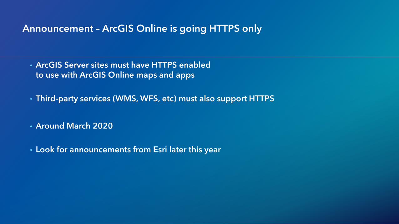
Announcement – ArcGIS Online is going HTTPS only
• ArcGIS Server sites must have HTTPS enabled to use with ArcGIS Online maps and apps
• Third-party services (WMS, WFS, etc) must also support HTTPS
• Around March 2020
• Look for announcements from Esri later this year

Announcement – ArcGIS Online is going HTTPS only*
ArcGIS Online
3rd Party WMS
ArcGIS Server Service
Must be HTTPS
Must be HTTPS
HTTPS Only
*Around March 2020