Appendix B – Project Area Photographs
13
CSJ: 0008-13-125, etc. Draft EA - Southeast Connector, Tarrant County, TX Appendix B – Project Area Photographs
Transcript of Appendix B – Project Area Photographs
CSJ: 0008-13-125, etc.
Draft EA - Southeast Connector, Tarrant County, TX
Appendix B – Project Area Photographs
CSJ :0008-13-125, etc. Project Area Photographs
March 2020 1
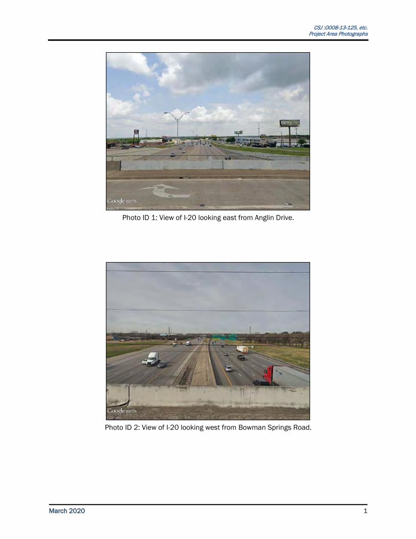
Photo ID 1: View of I-20 looking east from Anglin Drive.
Photo ID 2: View of I-20 looking west from Bowman Springs Road.
CSJ :0008-13-125, etc. Project Area Photographs
March 2020 2
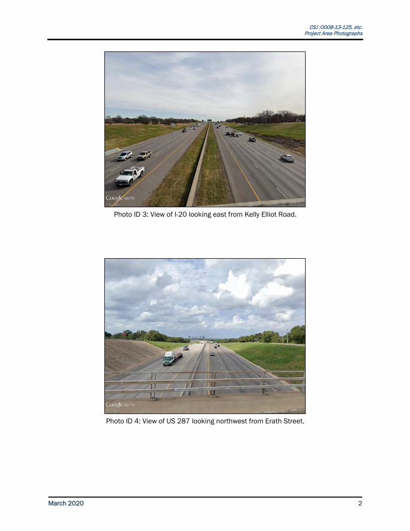
Photo ID 3: View of I-20 looking east from Kelly Elliot Road.
Photo ID 4: View of US 287 looking northwest from Erath Street.
CSJ :0008-13-125, etc. Project Area Photographs
March 2020 3
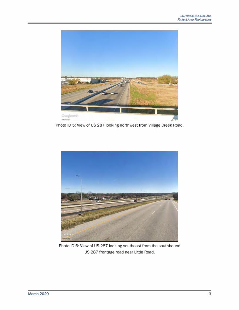
Photo ID 5: View of US 287 looking northwest from Village Creek Road.
Photo ID 6: View of US 287 looking southeast from the southbound
US 287 frontage road near Little Road.
CSJ :0008-13-125, etc. Project Area Photographs
March 2020 4
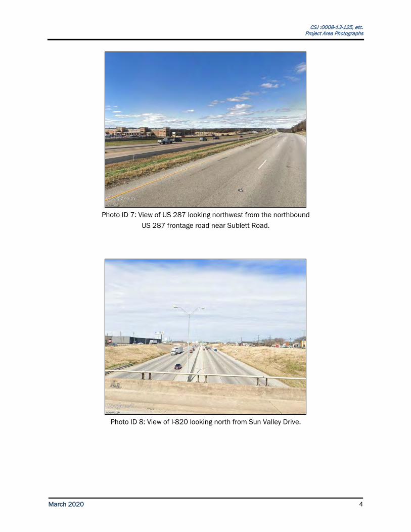
Photo ID 7: View of US 287 looking northwest from the northbound
US 287 frontage road near Sublett Road.
Photo ID 8: View of I-820 looking north from Sun Valley Drive.
CSJ :0008-13-125, etc. Project Area Photographs
March 2020 5
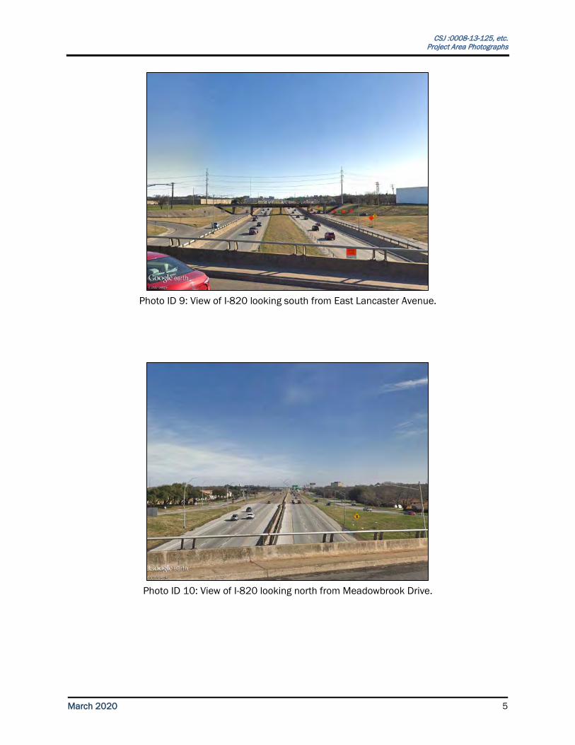
Photo ID 9: View of I-820 looking south from East Lancaster Avenue.
Photo ID 10: View of I-820 looking north from Meadowbrook Drive.
CSJ :0008-13-125, etc. Project Area Photographs
March 2020 6
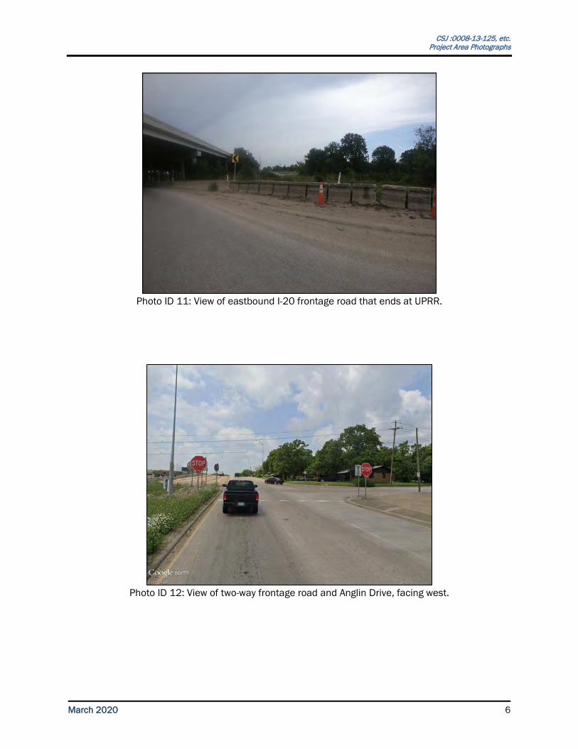
Photo ID 11: View of eastbound I-20 frontage road that ends at UPRR.
Photo ID 12: View of two-way frontage road and Anglin Drive, facing west.
CSJ :0008-13-125, etc. Project Area Photographs
March 2020 7
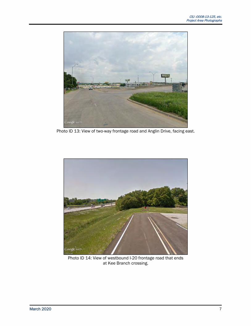
Photo ID 13: View of two-way frontage road and Anglin Drive, facing east.
Photo ID 14: View of westbound I-20 frontage road that ends
at Kee Branch crossing.
CSJ :0008-13-125, etc. Project Area Photographs
March 2020 8
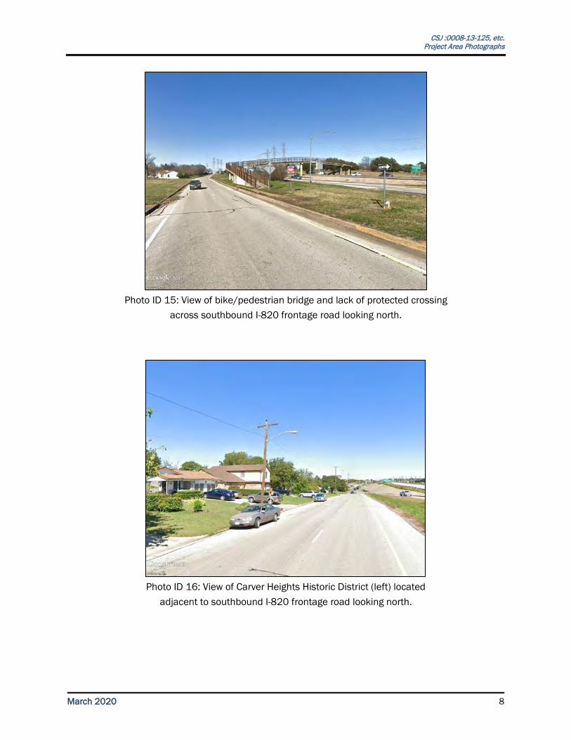
Photo ID 15: View of bike/pedestrian bridge and lack of protected crossing
across southbound I-820 frontage road looking north.
Photo ID 16: View of Carver Heights Historic District (left) located
adjacent to southbound I-820 frontage road looking north.
CSJ :0008-13-125, etc. Project Area Photographs
March 2020 9
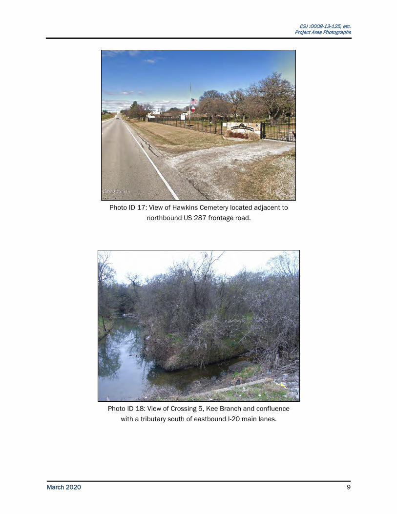
Photo ID 17: View of Hawkins Cemetery located adjacent to
northbound US 287 frontage road.
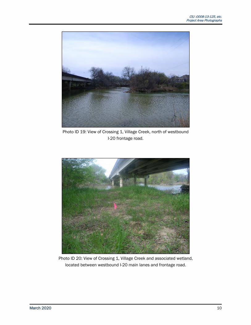
Photo ID 18: View of Crossing 5, Kee Branch and confluence
with a tributary south of eastbound I-20 main lanes.
CSJ :0008-13-125, etc. Project Area Photographs
March 2020 10
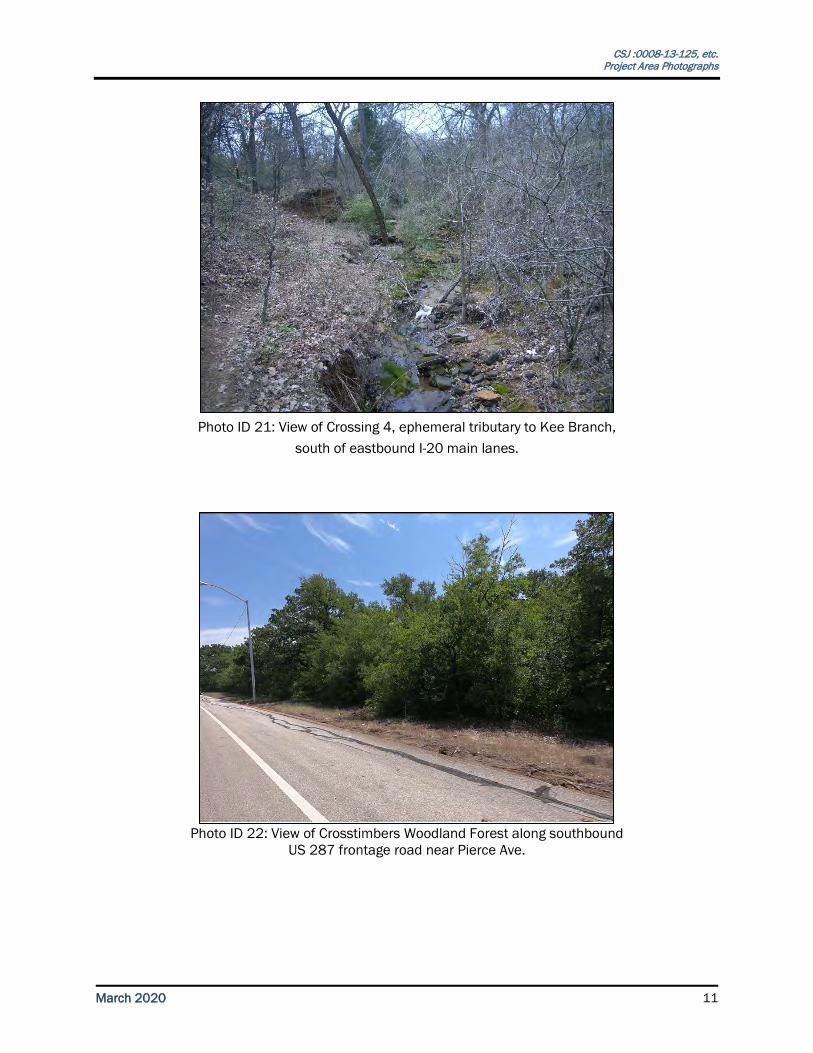
Photo ID 19: View of Crossing 1, Village Creek, north of westbound
I-20 frontage road.
Photo ID 20: View of Crossing 1, Village Creek and associated wetland,
located between westbound I-20 main lanes and frontage road.
CSJ :0008-13-125, etc. Project Area Photographs
March 2020 11
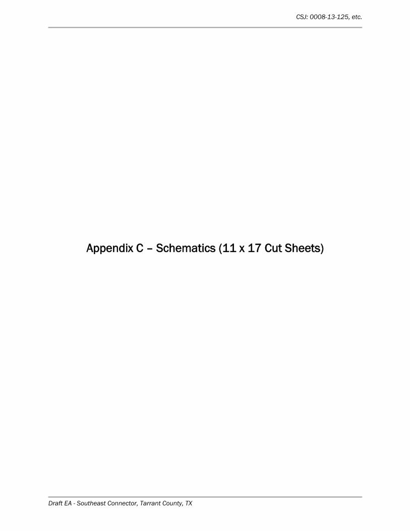
Photo ID 21: View of Crossing 4, ephemeral tributary to Kee Branch,
south of eastbound I-20 main lanes.
Photo ID 22: View of Crosstimbers Woodland Forest along southbound
US 287 frontage road near Pierce Ave.
CSJ: 0008-13-125, etc.
Draft EA - Southeast Connector, Tarrant County, TX
Appendix C – Schematics (11 x 17 Cut Sheets)