APPENDIX A SITE PHOTOS
4
MRG Riverine Restoration Project EA SWCA Environmental Consultants 65 APPENDIX A SITE PHOTOS
Transcript of APPENDIX A SITE PHOTOS
MRG Riverine Restoration Project EA SWCA Environmental Consultants 65
APPENDIX A SITE PHOTOS
MRG Riverine Restoration Project EA SWCA Environmental Consultants 66
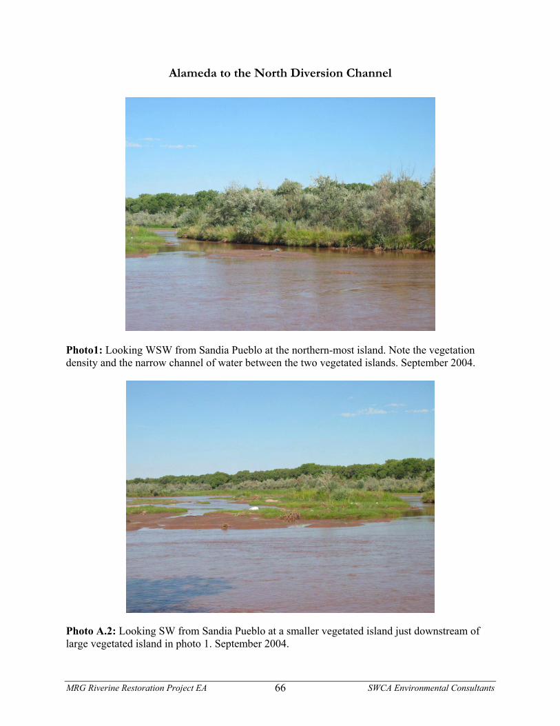
Alameda to the North Diversion Channel
Photo1: Looking WSW from Sandia Pueblo at the northern-most island. Note the vegetation density and the narrow channel of water between the two vegetated islands. September 2004.
Photo A.2: Looking SW from Sandia Pueblo at a smaller vegetated island just downstream of large vegetated island in photo 1. September 2004.
MRG Riverine Restoration Project EA SWCA Environmental Consultants 67
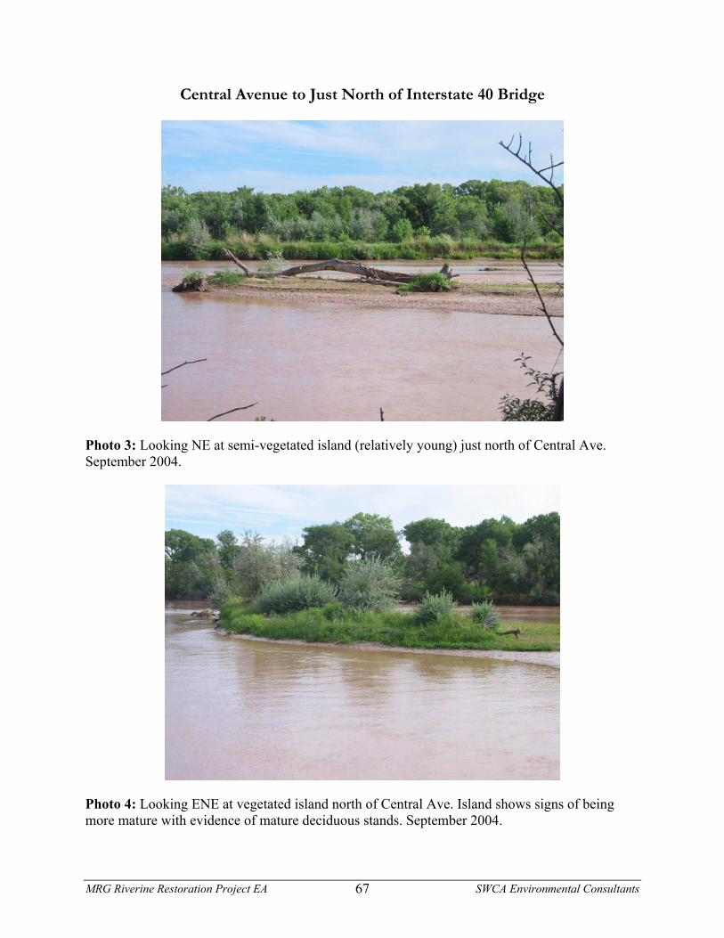
Central Avenue to Just North of Interstate 40 Bridge
Photo 3: Looking NE at semi-vegetated island (relatively young) just north of Central Ave. September 2004.
Photo 4: Looking ENE at vegetated island north of Central Ave. Island shows signs of being more mature with evidence of mature deciduous stands. September 2004.
MRG Riverine Restoration Project EA SWCA Environmental Consultants 68
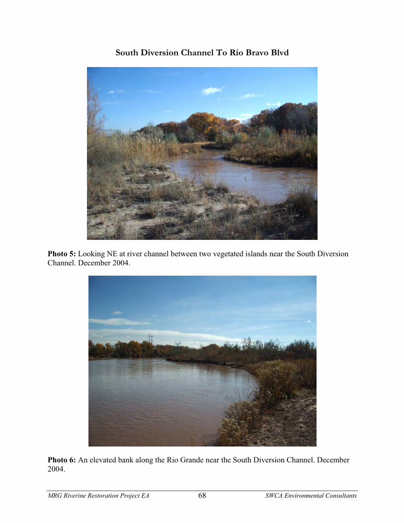
South Diversion Channel To Rio Bravo Blvd
Photo 5: Looking NE at river channel between two vegetated islands near the South Diversion Channel. December 2004.
Photo 6: An elevated bank along the Rio Grande near the South Diversion Channel. December 2004.