
A Study on The Usability of Digital Elevation Models ... · A STUDY ON THE USABILITY OF DIGITAL...
26
A STUDY ON THE USABILITY OF DIGITAL ELEVATION MODELS OBTAINED FROM OPEN SOURCES IN THE PRODUCTION OF CONTOURS: COMPARISON OF ALOS AND SRTM DEM DATA S.Çabuk, A.C. Kiracı, M.Kaya, M.Erdoğan, O.Eker, A.Okul
Transcript of A Study on The Usability of Digital Elevation Models ... · A STUDY ON THE USABILITY OF DIGITAL...

A STUDY ON THE USABILITY OF DIGITAL
ELEVATION MODELS OBTAINED FROM
OPEN SOURCES IN THE PRODUCTION OF
CONTOURS:
COMPARISON OF ALOS AND SRTM DEM
DATA
S.Çabuk, A.C. Kiracı, M.Kaya, M.Erdoğan, O.Eker, A.Okul
Presented at th
e FIG Congress 2018,
May 6-11, 2018 in
Ista
nbul, Turkey

2/25
CONTENTS
➢ INTRODUCTION
➢ STUDY AREA
➢ DATA
➢ TEST
➢ RESULTS
3/25
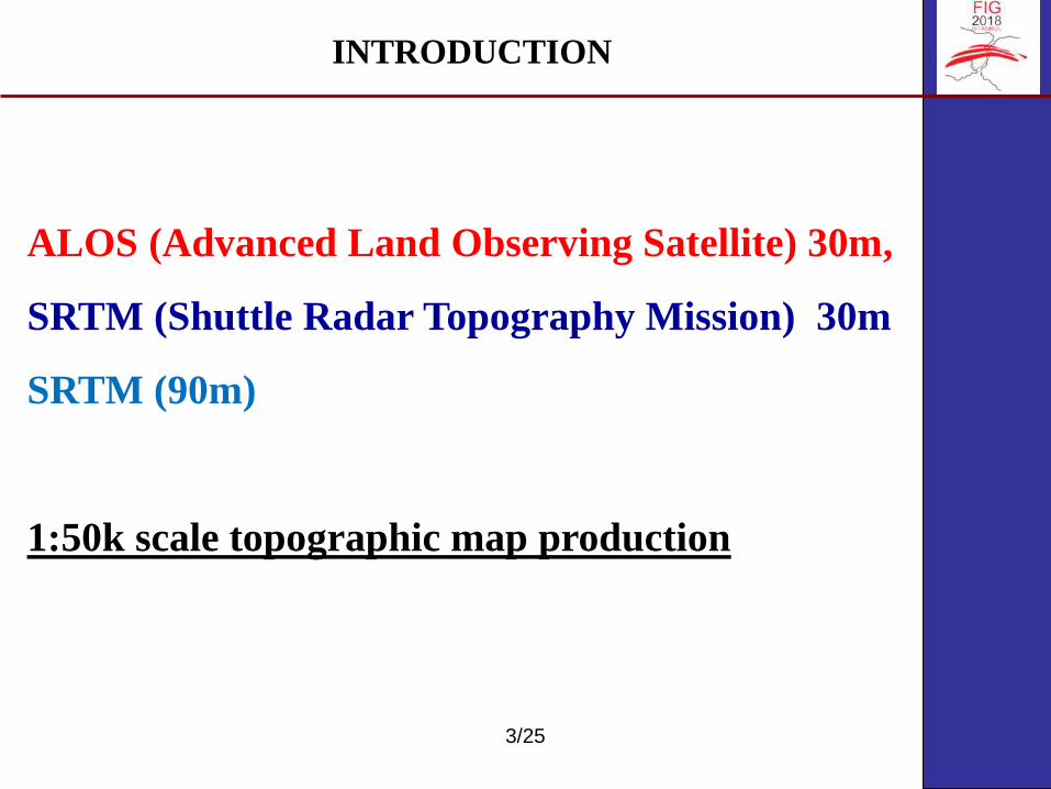
INTRODUCTION
ALOS (Advanced Land Observing Satellite) 30m,
SRTM (Shuttle Radar Topography Mission) 30m
SRTM (90m)
1:50k scale topographic map production

4/25
STUDY AREA
KONYA
ÇANAKKALE

5/25
Çanakkale - H17c1 Konya - J28c3
STUDY AREA
6/25
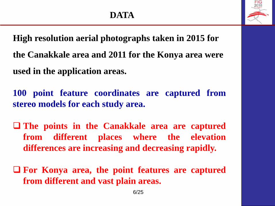
High resolution aerial photographs taken in 2015 for
the Canakkale area and 2011 for the Konya area were
used in the application areas.
DATA
100 point feature coordinates are captured from
stereo models for each study area.
❑ The points in the Canakkale area are captured
from different places where the elevation
differences are increasing and decreasing rapidly.
❑ For Konya area, the point features are captured
from different and vast plain areas.

7/25
ALOS 30m
released in 2015 by the Japan Aerospace Exploration
Agency (JAXA), and can be downloaded free of charge.
The AW3D-30 is actually a resampling of the 5-meter
mesh version of the World 3D Topographic Data, which
is considered to be the most precise global-scale
elevation data at this time. It was generated using the
traditional optical stereo matching technique.
DATA

8/25
SRTM
▪ The SRTM 90m is digital elevation data with an
approximate 90m sampling distance, which is
available as open source in 2003.
▪ The SRTM 30m data was developed by improving
the SRTM 90m digital elevation data. This new data
was improved by interpolating gaps in the SRTM
90m digital elevation data and filling in the data
from different sources, resampling the data.
DATA

9/25
ALOS 30m
SRTM 30m
SRTM 90m
DATA
10/25
TEST
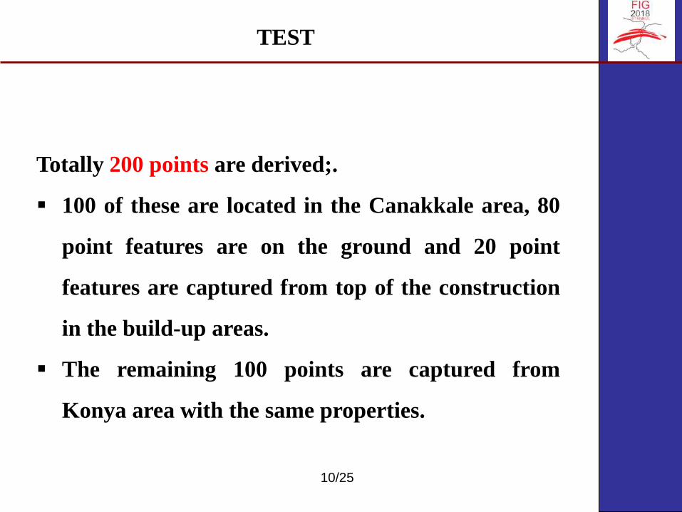
Totally 200 points are derived;.
▪ 100 of these are located in the Canakkale area, 80
point features are on the ground and 20 point
features are captured from top of the construction
in the build-up areas.
▪ The remaining 100 points are captured from
Konya area with the same properties.
11/25
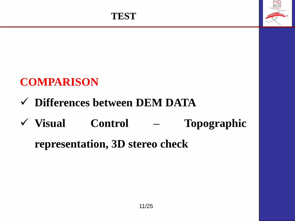
COMPARISON
✓ Differences between DEM DATA
✓ Visual Control – Topographic
representation, 3D stereo check
TEST

12/25
Differences Between Elevation Data - SRTM 90m
TEST
Çanakkale Konya
13/25
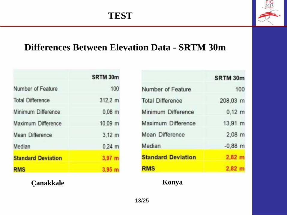
Differences Between Elevation Data - SRTM 30m
TEST
Çanakkale Konya
14/25
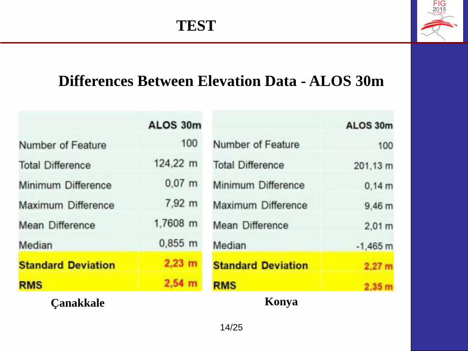
Differences Between Elevation Data - ALOS 30m
TEST
Çanakkale Konya

15/25
TEST
Statistics of Datasets
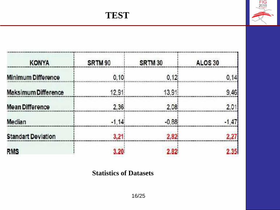
16/25
TEST
Statistics of Datasets

17/25
Contours Produced From SRTM 90m Data
TEST

18/25
Contours Produced From SRTM 90m Data
TEST
19/25
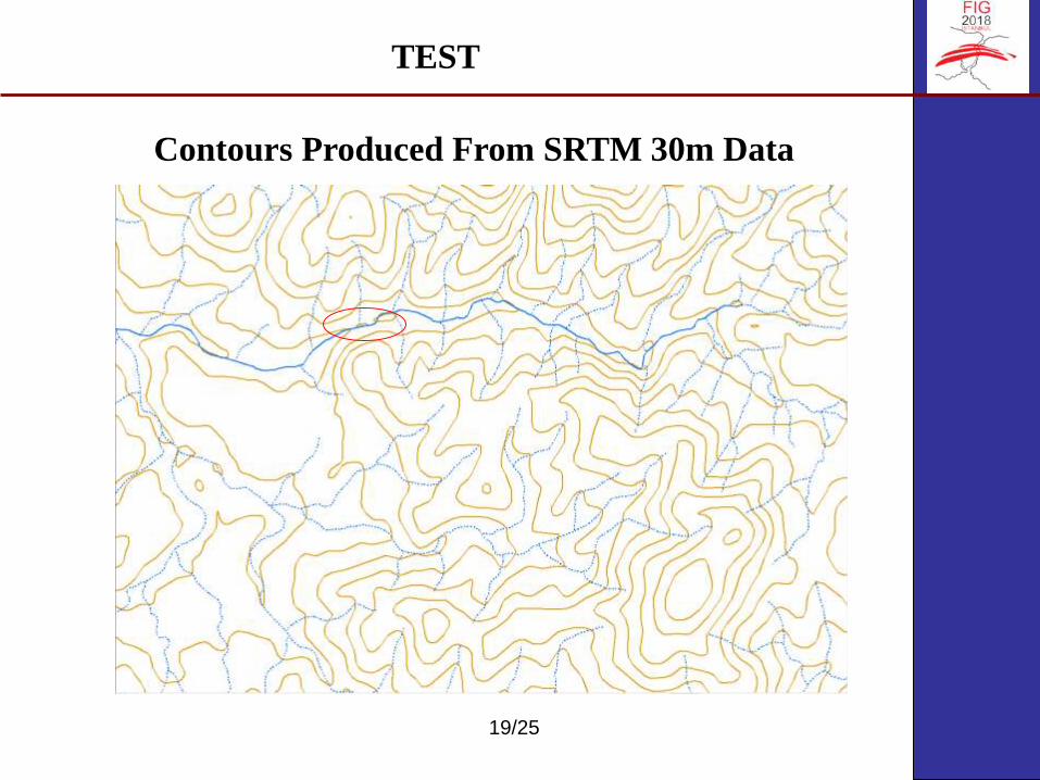
Contours Produced From SRTM 30m Data
TEST

20/25
Contours Produced From SRTM 30m Data
TEST

21/25
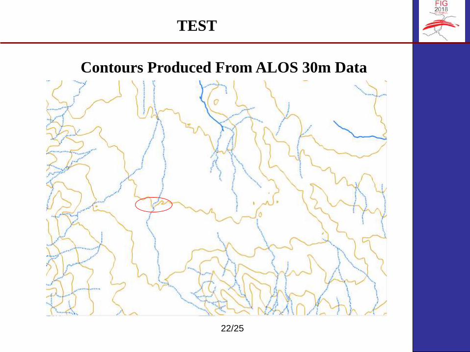
Contours Produced From ALOS 30m Data
TEST
22/25
Contours Produced From ALOS 30m Data
TEST

23/25
TEST

24/25
CONTROLS ON STEREO MODEL
the contours obtained from each DEM data were
checked with stereo models. As a result of these checks,
the best and most accurate representations of land in
topographical sense were ALOS 30m, SRTM 30m and
SRTM 90m respectively. During these checks, it was
observed that the areas with higher elevation
differences were represented more accurately than
those with flat areas.
TEST

25/25
RESULTS
Deciding with the results gathered, it is
evaluated that open source data can be used in
the production of contours if no data is available
as elevation data. As a result of the study, it was
determined that ALOS 30m data from open
source data gives more accurate results than
other SRTM 90m and SRTM 30m data.

26
THANK YOU...


