A passive RFID Information Grid for Location and Proximity Sensing for the Blind User Speaker: Kenji...
36
A passive RFID Information Grid for Location and Proximity Sensing for the Blind User Speaker: Kenji Okuda Advisor: Hao-hua Chu
-
Upload
alex-annable -
Category
Documents
-
view
223 -
download
1
Transcript of A passive RFID Information Grid for Location and Proximity Sensing for the Blind User Speaker: Kenji...
A passive RFID Information Grid for Location and Proximity Sensing for the Blind User
Speaker: Kenji Okuda
Advisor: Hao-hua Chu
Content
Brief explanation Design issues Indoor and Outdoor navigation
infrastructure Performance issues
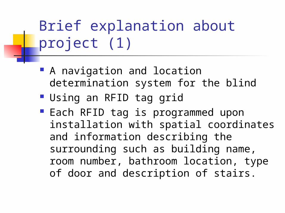
Brief explanation about project (1)
A navigation and location determination system for the blind
Using an RFID tag grid Each RFID tag is programmed upon
installation with spatial coordinates and information describing the surrounding such as building name, room number, bathroom location, type of door and description of stairs.
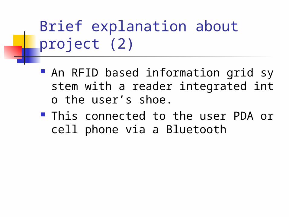
Brief explanation about project (2)
An RFID based information grid system with a reader integrated into the user’s shoe.
This connected to the user PDA or cell phone via a Bluetooth
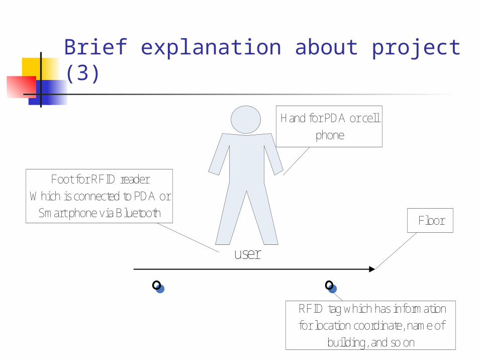
Brief explanation about project (3)
user
Hand for PDA or cell
phone
Foot for RFID reader
Which is connected to PDA or
Smart phone via BluetoothFloor
RFID tag which has information
for location coordinate, name of
building, and so on
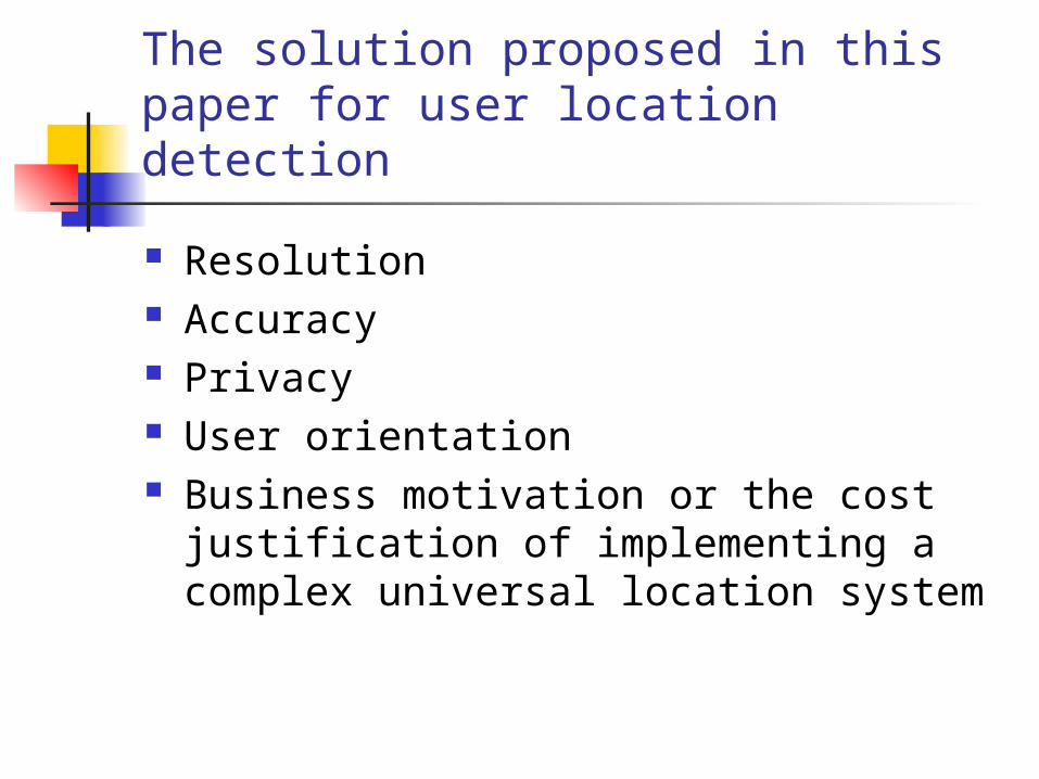
The solution proposed in this paper for user location detection
Resolution Accuracy Privacy User orientation Business motivation or the cost
justification of implementing a complex universal location system

Design criteria
User interface Device Indoor navigation infrastructure Outdoor infrastructure
User Interface
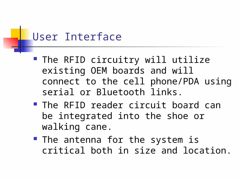
The RFID circuitry will utilize existing OEM boards and will connect to the cell phone/PDA using serial or Bluetooth links.
The RFID reader circuit board can be integrated into the shoe or walking cane.
The antenna for the system is critical both in size and location.
Device
Passive PFID tag RFID Reader Design of shoe
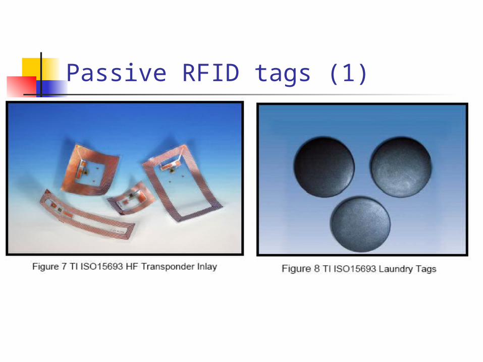
Passive RFID tags (1)
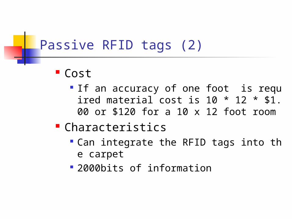
Passive RFID tags (2)
Cost If an accuracy of one foot is required materia
l cost is 10 * 12 * $1.00 or $120 for a 10 x 12 foot room
Characteristics Can integrate the RFID tags into the carpet 2000bits of information
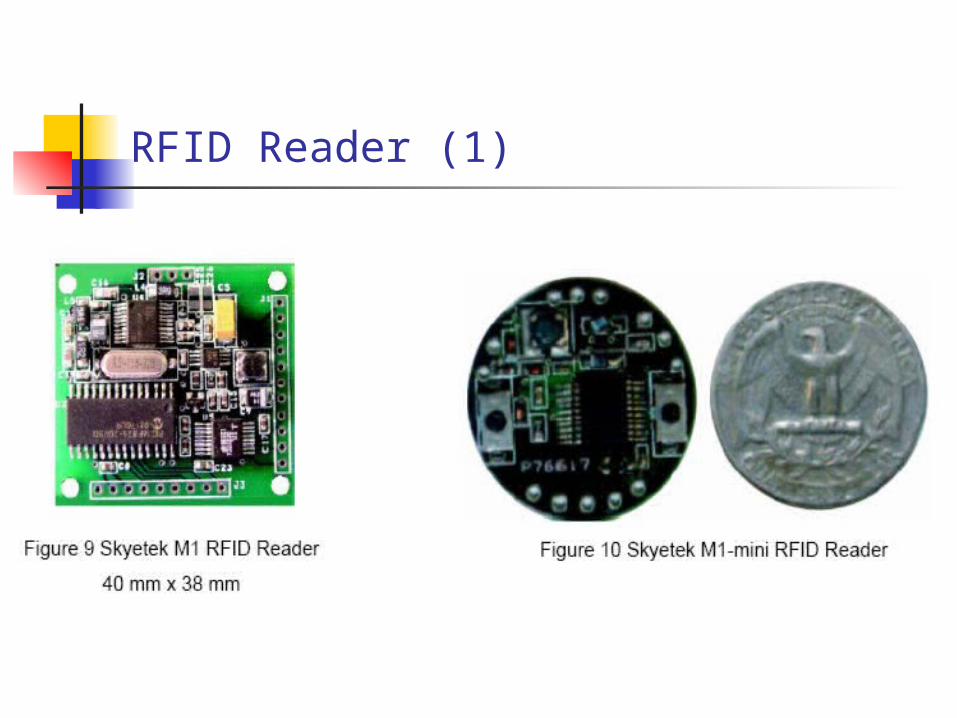
RFID Reader (1)
RFID Reader (2)
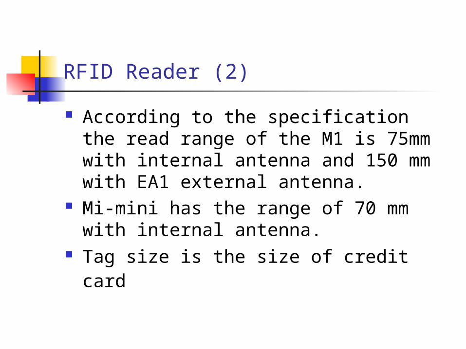
According to the specification the read range of the M1 is 75mm with internal antenna and 150 mm with EA1 external antenna.
Mi-mini has the range of 70 mm with internal antenna.
Tag size is the size of credit card
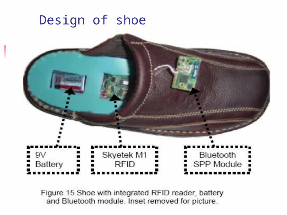
Design of shoe
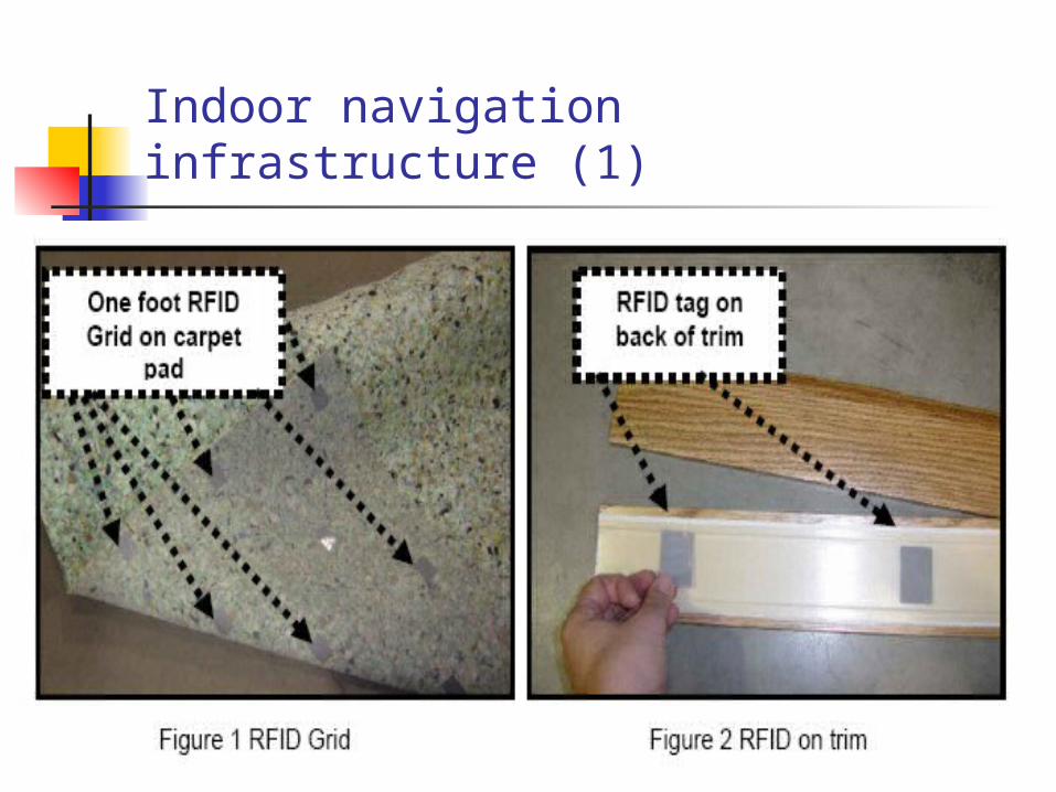
Indoor navigation infrastructure (1)
Indoor navigation infrastructure (2)
Each RFID tag is programmed with position information and feature description of objects in the room.
RFID tags that leads to a door would provide information related to the door location, type of handle and opening direction.
Protects the privacy and location of the user
Indoor navigation infrastructure (3)
To determine the orientation the user would extend their foot or cane forward to neighboring cell.
Outdoor navigation infrastructure (1)
The user could touch the object with a cane or foot feeling for the direction of the slot for user orientation. The user would then be able to determine location and additional information from the RFID tag embedded in the objects
Use RFID laundry tag

Outdoor navigation infrastructure (2)
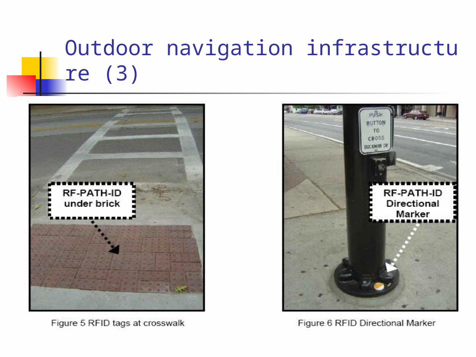
Outdoor navigation infrastructure (3)
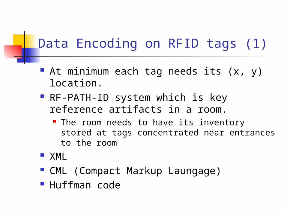
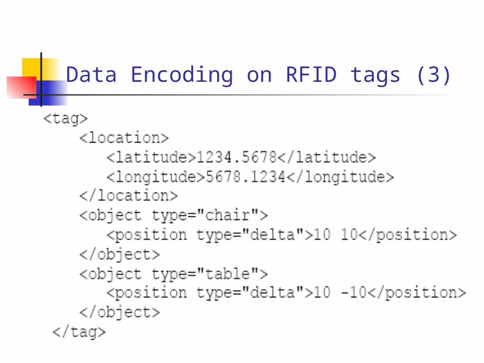
Data Encoding on RFID tags (1)
At minimum each tag needs its (x, y) location.
RF-PATH-ID system which is key reference artifacts in a room. The room needs to have its inventory stored at
tags concentrated near entrances to the room XML CML (Compact Markup Laungage) Huffman code
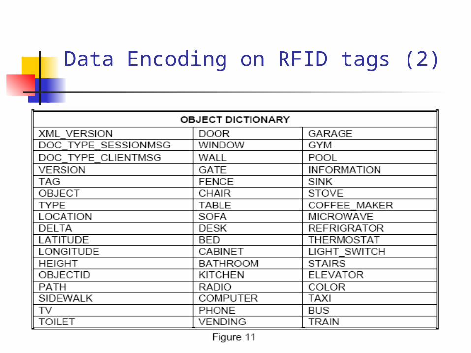
Data Encoding on RFID tags (2)
Data Encoding on RFID tags (3)
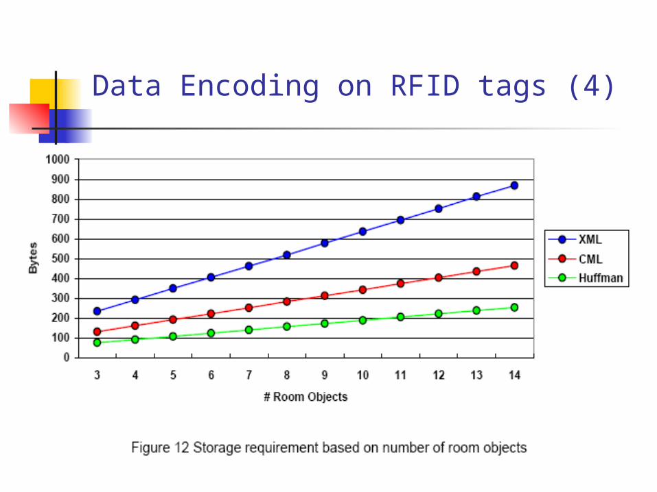
Data Encoding on RFID tags (4)
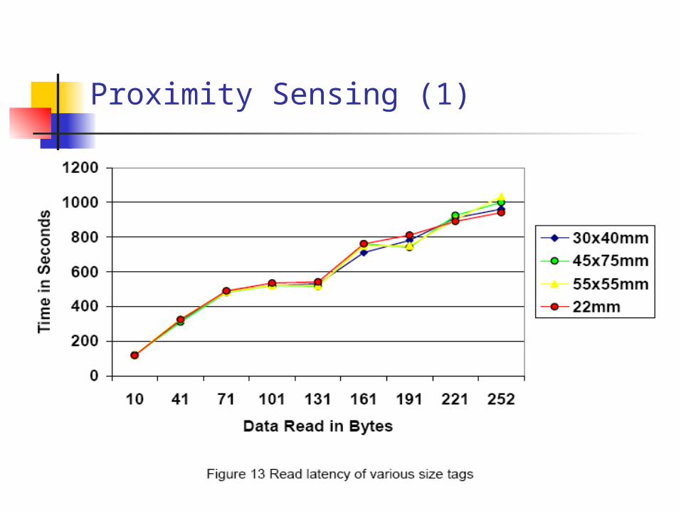
Proximity Sensing (1)

Proximity Sensing (2)
20 foot carpet path with 55 * 55 mm tag placed every 12 inches
Average walking speed for a younger walker is 4.95 feet per second so it takes about 4 seconds to walk 20 feet
The first group averaged 24 seconds with an average of 17 tags read
The first group averaged 9.6 seconds with an average of 10 tags read
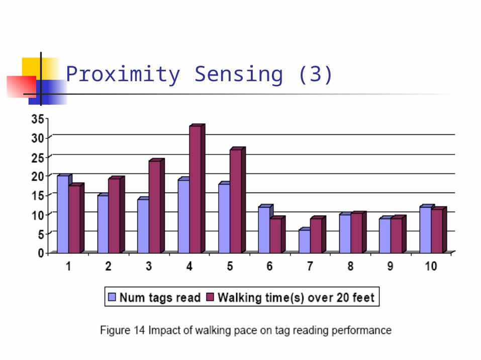
Proximity Sensing (3)
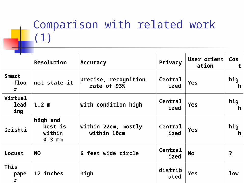
Comparison with related work (1)
Resolution Accuracy PrivacyUser orientat
ionCos
t
Smart floor
not state itprecise, recognition
rate of 93%Central
izedYes
high
Virtual leading
1.2 m with condition highCentral
izedYes
high
Drishtihigh and
best is within 0.3 mm
within 22cm, mostly within 10cm
Centralized
Yeshig
h
Locust NO 6 feet wide circle Centralized
No ?
This paper
12 inches highdistribu
tedYes low
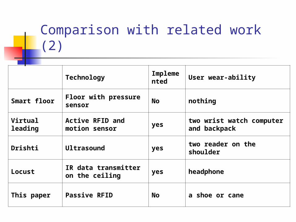
Comparison with related work (2)
TechnologyImplemented
User wear-ability
Smart floorFloor with pressure sensor
No nothing
Virtual leading
Active RFID and motion sensor
yestwo wrist watch computer and backpack
Drishti Ultrasound yestwo reader on the shoulder
LocustIR data transmitter on the ceiling
yes headphone
This paper Passive RFID No a shoe or cane
Conclusion
It does not state how the blind find exact location of two RF-PATH-ID on the brick.
It does not state how many tags are enough to be read for good accuracy for walking user.
Not implemented yet (only theory). Therefore, it’s very difficult to say this is the best method compared to others.

Reference papers
R.J.Orr and G.D.Abowd, “The smart floor: A Mechanism for Natural User Identification and Tracking,” In Proceedings of the First IEEE Pervasive Computing Conference, June 2003
T. Amemiya, J. Yamashita, K. Hirota, and M. Hirose, “Virtual Leading Blocks for the Deaf-Blind: A Real-time way-finder be verval-nonverbal hybrid interface and high-density RFID tag space”, proceedings of the 2004 virtual reality
P. Bahl and V. Padmanabhan, “RADAR: An In-Building RF-based User Location and Tracking System,” In Proceedings of the IEEE Infocom 2000, March 2000, pp. 775-784.
L. Ran, A. Helal, and S.E. Moore, “Drishti: An Integrated Indoor/Outdoor Blind Navigation System and Service”, In Proceedings of the Second IEEE Annual Conference on Pervasive Computing and Communications, pp.23-30, 2004.
R. Want, A. Hopper, V. Falcao, and J. Gibbons, “The Active Badge Location System,” ACM Transaction on Information System, 10:1, pp. 91-102, 1992.
T. Starner, D. Kirsch, and S. Assefa, “The locust Swarm: An Environmentally-Powered, Networkless Location and Messaging System,” Technical Report 431, MIT Media Lab, Perceptual Computing Group, Apr. 1997.
Related work for location detection (1)
Smart floor (identifying user by biometric signature of a person’s footsteps) Advantage
No need to wear electronic device for location detection
Disadvantage Dependency on a mechanical or pressure
sensitive floor
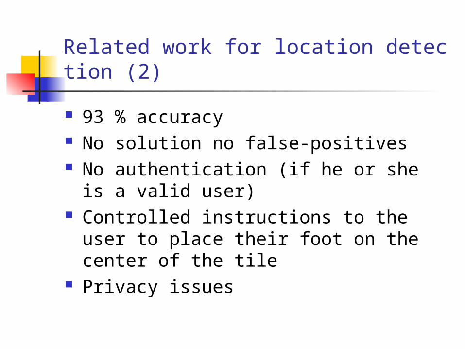
Related work for location detection (2)
93 % accuracy No solution no false-positives No authentication (if he or she is a valid
user) Controlled instructions to the user to
place their foot on the center of the tile Privacy issues
Related work for location detection (3)
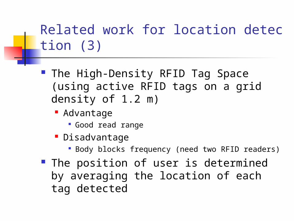
The High-Density RFID Tag Space (using active RFID tags on a grid density of 1.2 m) Advantage
Good read range Disadvantage
Body blocks frequency (need two RFID readers)
The position of user is determined by averaging the location of each tag detected
Related work for location detection (4)
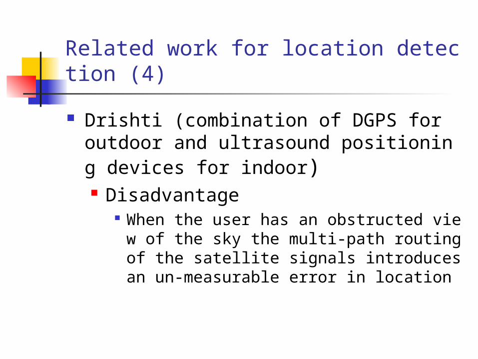
Drishti (combination of DGPS for outdoor and ultrasound positioning devices for indoor) Disadvantage
When the user has an obstructed view of the sky the multi-path routing of the satellite signals introduces an un-measurable error in location
Related work for location detection (5)
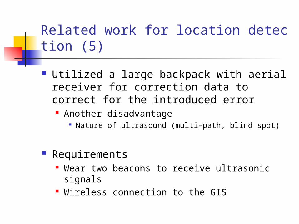
Utilized a large backpack with aerial receiver for correction data to correct for the introduced error Another disadvantage
Nature of ultrasound (multi-path, blind spot)
Requirements Wear two beacons to receive ultrasonic signals Wireless connection to the GIS