8 th Grade Soc. St.. Tidewater Coastal Plain Piedmont Mountains.
24
8 th Grade Soc. St.
-
Upload
brett-davidson -
Category
Documents
-
view
213 -
download
0
Transcript of 8 th Grade Soc. St.. Tidewater Coastal Plain Piedmont Mountains.

8th Grade Soc. St.

TidewaterCoastal PlainPiedmontMountains
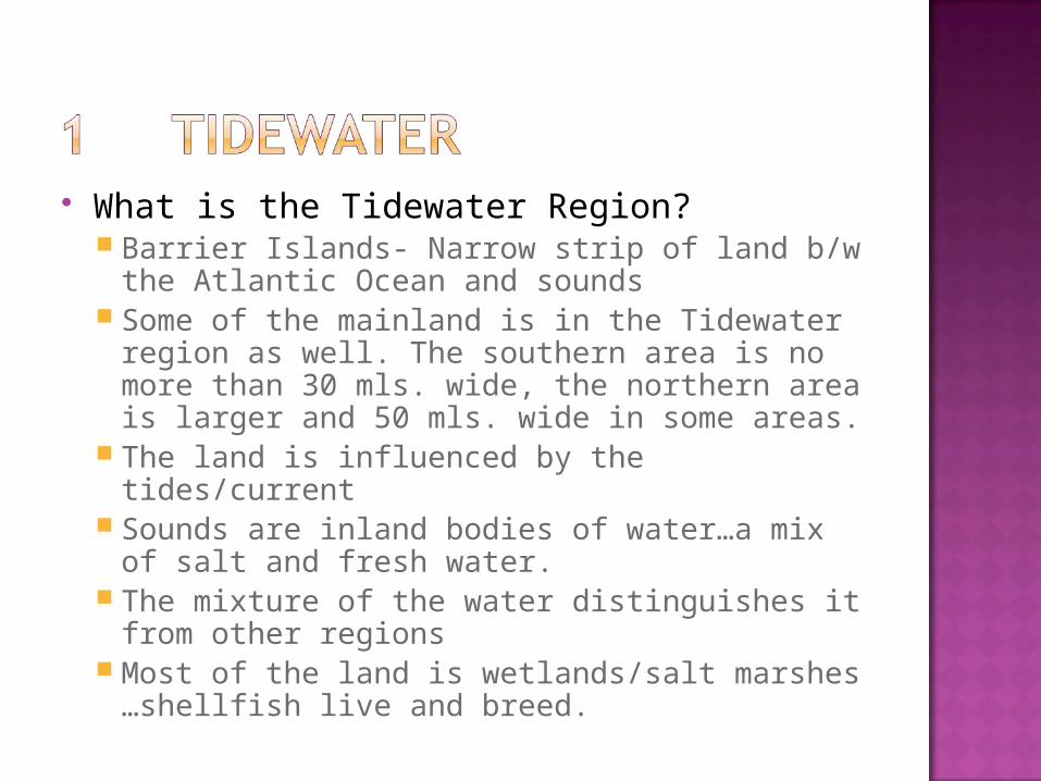
What is the Tidewater Region? Barrier Islands- Narrow strip of land b/w the
Atlantic Ocean and sounds Some of the mainland is in the Tidewater region
as well. The southern area is no more than 30 mls. wide, the northern area is larger and 50 mls. wide in some areas.
The land is influenced by the tides/current Sounds are inland bodies of water…a mix of salt
and fresh water. The mixture of the water distinguishes it from
other regions Most of the land is wetlands/salt marshes …
shellfish live and breed.
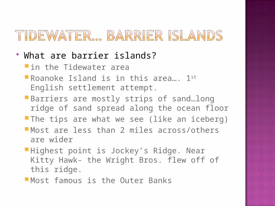
What are barrier islands? in the Tidewater areaRoanoke Island is in this area…. 1st English
settlement attempt.Barriers are mostly strips of sand…long
ridge of sand spread along the ocean floorThe tips are what we see (like an iceberg)Most are less than 2 miles across/others are
widerHighest point is Jockey’s Ridge. Near Kitty
Hawk- the Wright Bros. flew off of this ridge.Most famous is the Outer Banks
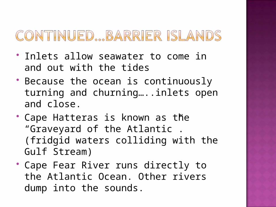
Inlets allow seawater to come in and out with the tides
Because the ocean is continuously turning and churning…..inlets open and close.
Cape Hatteras is known as the “Graveyard of the Atlantic”. (fridgid waters colliding with the Gulf Stream)
Cape Fear River runs directly to the Atlantic Ocean. Other rivers dump into the sounds.
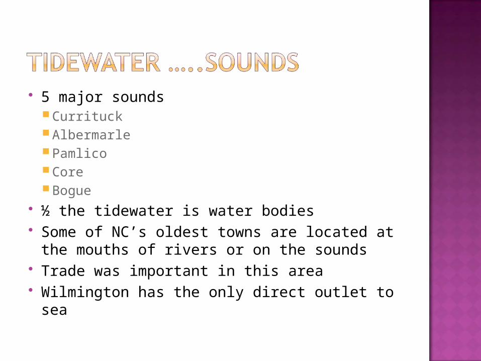
5 major sounds Currituck Albermarle Pamlico Core Bogue
½ the tidewater is water bodies Some of NC’s oldest towns are located at
the mouths of rivers or on the sounds Trade was important in this area Wilmington has the only direct outlet to
sea

Wilmington has had the largest town through most of history
Pocosins: indian name for a particular wetland….stands for “swamp on a hill”
Found from Albermarle Sound to Cape Fear
Savannahs- tall grasses mixes other types of pines
Most of the natural lakes are in the Tidewater Region
Largest lake is Lake Mattamuskeet: 15 miles across and only 6 ft. avg. in depth
Major landing pt. for migrating birds and wildlife refuge
It has been the lowest populated area through time
Some locals still speak with an accent. Similar to old English brogue

Examples: These are phrases you may use if
you are speaking in Old English Brogue:
Outsider of the community- called a dingbatter
Being full after a meal- gut full of foodBeing nauseous- quamished in my gut
Richest soil in the state Takes 1/3 of the states land area 100 miles in width Farming is and has been successful due
to the flat land and the rich soil Roanoke, Tar, and Neuse rivers flow into
the Tidewater region Cape Fear River is the longest river in NC Tobacco was the largest crop in NC-
tobacco towns grew (Rocky Mt., Wilson, Greenville, and Goldsboro) provided for the marketing outlets

Each tobacco town had more than ½ dozen tobacco warehouses
In the early 1900s almost every town had 1 warehouse (height of tobacco popularity)
Fewer and fewer people grow tobacco now 2 factors
1. Health risk 2. Government cut off guaranteeing the sale for
profit(longleaf pines were the most popular crop before
tobacco)
100s of elongated depressions in the ground
Located in the Southern part of the Coastal Plain
.5 to 2 miles in length and .5 mile wide No one really knows how or why they
are there White Lake and Singletary Lake are
bays They provide some of the richest soil
and animal habitats in the state
NW of the Carolina Bays Variety of ethnic groups in this area of NC
Whites-descendents of English settlers African-Americans- descendents of slaves Migrants- Latinos that come to farm Lumbee- Indians from Roberson Co. Largest
population of Native Americans in the state Poorest Soil in the state Used for 2 things in NC
Golf Courses (like Pinehurst) Military (Ft. Bragg)
More than ½ is forest Most well known feature- red clay (iron
rich) Kudzu planting in the 1930s has helped
with erosion… it has now taken over in many areas and is now known as the “Monster that ate NC” Kudzu on a hot wet day can grow inches at
a time.Can find it from the hilly areas of NC to the
Mtns.

Divides the Coastal Plain from the Piedmont
Fall line is from No. near Roanoke Rapids to SW past Raleigh and Fayetteville
Fall line is used to separate NC from E to W
Ridge Line divides the Mtns. from the Piedmont
2 major rivers area ….. Yadkin-PeeDee and the Catawba. Travel to SC and go to the ocean by way Charleston, SC
Sectionalism grew due to the lack of connections to the rivers in the Piedmont and Coastal Plain.
Farming has been a struggle in this region, but has been done.
Livestock has been a source of incomes for families
Farming has declined over time and factories/industries have been successful in this area.
Factories were used to process cotton, tobacco, and wood.
Areas with textile industries include: Kannapolis and Gastonia
Areas with tobacco industry include: Durham, Winston-Salem, Reidsville

Areas with furniture industry include: Lenoir, Hickory, and High Point
These 3 industries took a decline in the 1990s; due to overseas factories could do the work cheaper. Thousands lost their jobs.

Many cities have had to adjust and find other economic avenues
Charlotte is home of international banking with Bank of America and Wachovia (headquarters are located there)
Charlotte is also the home of NASCAR Wake Forest University and Duke have
world-class medical facilities and schools Food Lion is the largest private employer
in the state…in Salisbury Growth in Computers, Technology, etc.
has been in RTP in Raleigh.
Uwharrie Mountains- very distinctive landmark of the Piedmont region. It is a cluster of monadnocks. They are located South of Greensboro and East of Salisbury
Monadnocks –is a point of land that sticks out because all the land around it has eroded
Most famous monadnock is Pilot Mountain
Most well known features are:The Blue Ridge….one long land form much
like the barrier islands. Along the top is a national highway – Blue
Ridge Parkway…some of the most beautiful views in the US
Forms the eastern boundary of the Appalachian Mtns.
Rivers on the eastern side of the slopes eventually empty into the Atlantic Ocean
Rivers on the western side of the slopes empty into the tributaries of the Mississippi
Runs from NJ into the deep south
Appalachian Mountains run from NY to AL, but the highest peaks are in NC
43 mtn. tops are in NC that are 6,000 feet above sea level
The highest pt. east of the Rockies is Mt. Mitchell…6,684 feet….Black Mountain Range
Some of the most notable mtn. ranges are …Black Mtns. –west of the blue ridgeGreat Smokies
Coastal Plain rivers run east, Piedmont rivers run south, Mtn. rivers run north and west.
Asheville is the largest city in the Mtns. More than 100 lakes in the mtns., but
they are manmade. Lake Lure is known to be one of the most
beautiful lakes in the world Some of the best features in the NC mtns:
Fontana Lake and Fontana Dam Blowing Rock Chimney Rock Grandfather Mtn. – swinging bridge Nantahala River – white water rafting

Historically less populated and developed than the rest of the state
Early on they made their living by grazing livestock…due to the rich natural vegetation
More recent tourism has contributed to the economy…retirement and vacation homes are popular in this area
The most recent economic booster is the Christmas Tree industry