200 pt
53
200 pt 300 pt 400 pt 500 pt 100 pt 200 pt 300 pt 400 pt 500 pt 100 pt 200pt 300 pt 400 pt 500 pt 100 pt 200 pt 300 pt 400 pt 500 pt 100 pt 200 pt 300 pt 400 pt 500 pt 100 pt
-
Upload
charlotte-walton -
Category
Documents
-
view
31 -
download
0
description
World Map. Maps. Directions. Latitude/ Longitude. Grab Bag. 100 pt. 100 pt. 100 pt. 100 pt. 100 pt. 200 pt. 200 pt. 200pt. 200 pt. 200 pt. 300 pt. 300 pt. 300 pt. 300 pt. 300 pt. 400 pt. 400 pt. 400 pt. 400 pt. 400 pt. 500 pt. 500 pt. 500 pt. 500 pt. 500 pt. - PowerPoint PPT Presentation
Transcript of 200 pt

200 pt
300 pt
400 pt
500 pt
100 pt
200 pt
300 pt
400 pt
500 pt
100 pt
200pt
300 pt
400 pt
500 pt
100 pt
200 pt
300 pt
400 pt
500 pt
100 pt
200 pt
300 pt
400 pt
500 pt
100 pt

What is another name for a line on longitude?

Meridian

What is another name for a line of latitude?

Parallel

Use the World Political Map on pgs. 8-9 of your Atlas. Latitude lines run
east and west across the map, but are measured North or South of the equator. Longitude lines run north and south, but are measured East or West of the Prime Meridian. What is the line of latitude or
longitude that runs through the city of Sydney, Australia in your atlas?
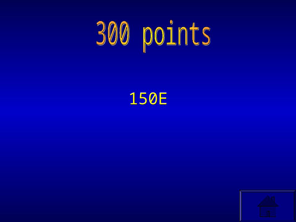
150E

Use the World Political Map on pgs. 8-9 of your Atlas. Find the city of Anchorage, Alaska. What is the absolute location of this city?
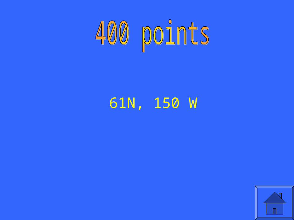
61N, 150 W

What is the 0 degree line of latitude called?

The Equator

Name the five oceans on Earth

Pacific, Atlantic, Arctic, Indian, Southern

What ocean is “debated” as to its classification?
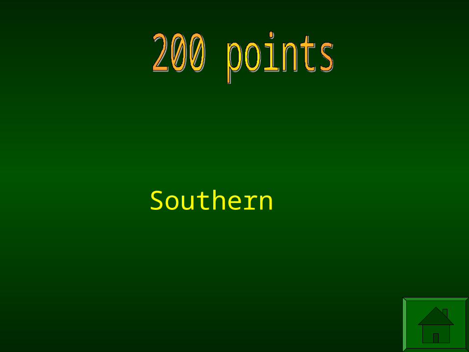
Southern

Name and locate the 7 continents


Identify the major lines of latitude and longitude:
Equator, Prime Meridian, Tropic of Cancer, Tropic of
Capricorn, Arctic Circle, Antarctic Circle
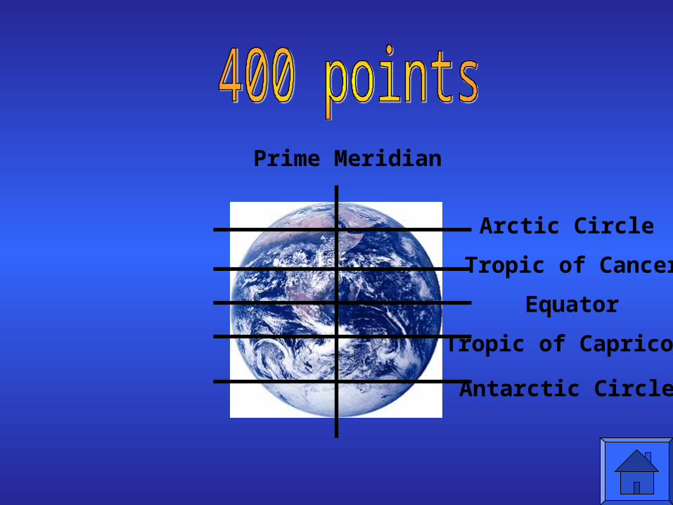
Prime Meridian
Arctic Circle
Tropic of Cancer
Equator
Tropic of Capricorn
Antarctic Circle

Where do you live?Hemispheres: ____________ &_____________Continent: __________________________Country: ____________________________State: _______________________________City: _________________________________

Hemispheres: Northern & WesternContinent: North AmericaCountry: United StatesState: WisconsinCity: Eau Claire
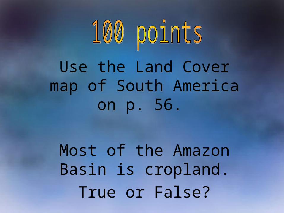
Use the Land Cover map of South America on p. 56.
Most of the Amazon Basin is cropland.
True or False?

False
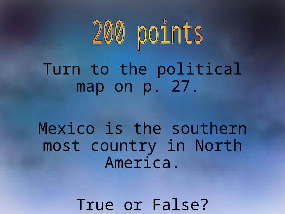
Turn to the political map on p. 27.
Mexico is the southern most country in North America.
True or False?

False
Use the elevation map of Africa on p. 64 to answer the following question: What
is the elevation of most of southern Africa?

2,000-5,000

Use the growing season map on p. 64 to complete the following sentence:
Most of central Africa has a growing season that lasts________.
All year

Use the population map on p. 66 to complete the following sentence:
Most of the Congo has a population of _____ people per sq. mile.

5 to 50

What are the two different type of
directions?

Cardinal and Intermediate

If you drive from Eau Claire to New York City,
which Cardinal Direction are you traveling?
Use your atlas.
East

Name the four Cardinal Directions

North, South, East, West
If you take a boat from Greenland to the United
States, Which Intermediate Direction
would you be traveling?Use your atlas.

Southwest
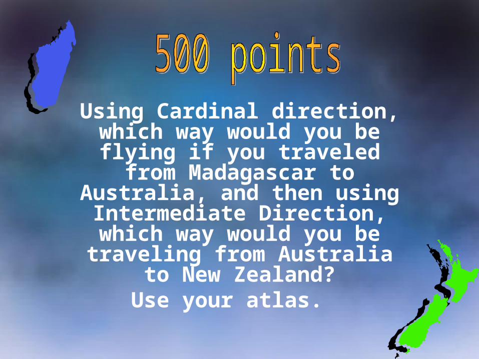
Using Cardinal direction, which way would you be flying if you traveled from Madagascar to
Australia, and then using Intermediate Direction, which way would you be traveling
from Australia to New Zealand?Use your atlas.
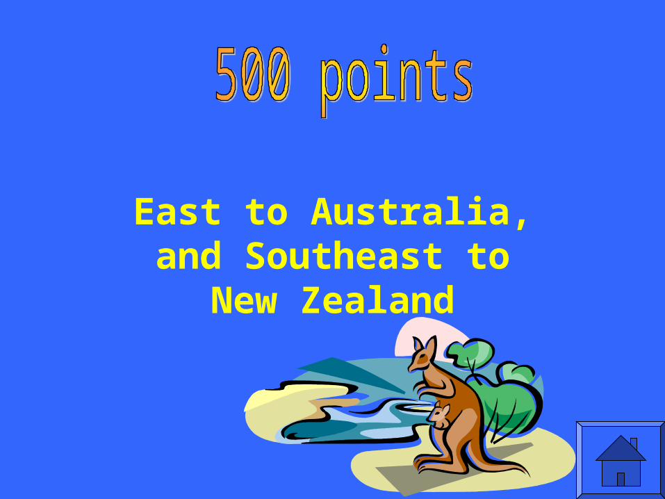
East to Australia, and Southeast to New
Zealand

Turn to page 40 and 41 in your atlas.
What city is found on 30°N and 90°W?

New Orleans, LA
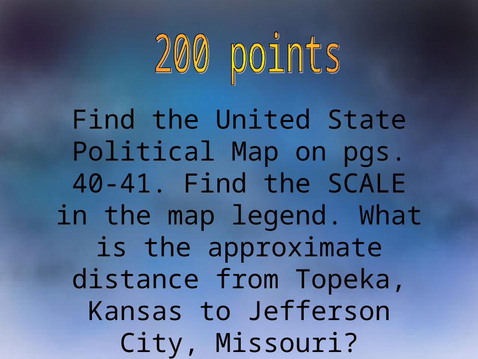
Find the United State Political Map on pgs. 40-41. Find the
SCALE in the map legend. What is the approximate distance from Topeka, Kansas to Jefferson City,
Missouri?

200 miles
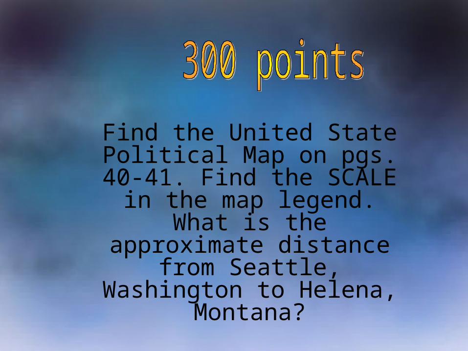
Find the United State Political Map on pgs. 40-41. Find the
SCALE in the map legend. What is the approximate distance from Seattle, Washington to Helena,
Montana?

Approximately 500 Miles.
Name the three main types of maps used in
our atlas?

Physical, Political, and Thematic

What are the geographic coordinates of Zimbabwe, Africa?
Use your atlas.

20 degrees S, 30 degrees E.

Use your atlas. What are the geographic coordinates of Philadelphia,
Pennsylvania?
Which cardinal direction from Eau Claire, WI is it?
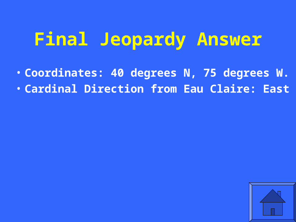
Final Jeopardy Answer
• Coordinates: 40 degrees N, 75 degrees W.
• Cardinal Direction from Eau Claire: East