1 U.S. Navy & Marine Corps Program Hydrometeorology within the Navy Oceanography Program Kurt A....
10
1 U.S. Navy & Marine Corps Program Hydrometeorology within the Navy Oceanography Program Kurt A. Nelson Joint Meteorology & Oceanography Integration Oceanographer of the Navy Staff Prepared for Office of the Federal Coordinator for Meteorological Services and Supporting Research 10 December, 2008
-
Upload
delphia-cunningham -
Category
Documents
-
view
220 -
download
3
Transcript of 1 U.S. Navy & Marine Corps Program Hydrometeorology within the Navy Oceanography Program Kurt A....

1
U.S. Navy & Marine Corps Program
Hydrometeorology within the Navy Oceanography Program
Kurt A. NelsonJoint Meteorology & Oceanography Integration
Oceanographer of the Navy Staff
Prepared forOffice of the Federal Coordinator for
Meteorological Services and Supporting Research10 December, 2008

2
Overview
• Navy’s Maritime Strategy• Navy Oceanography Mission• Capabilities• Summary
3
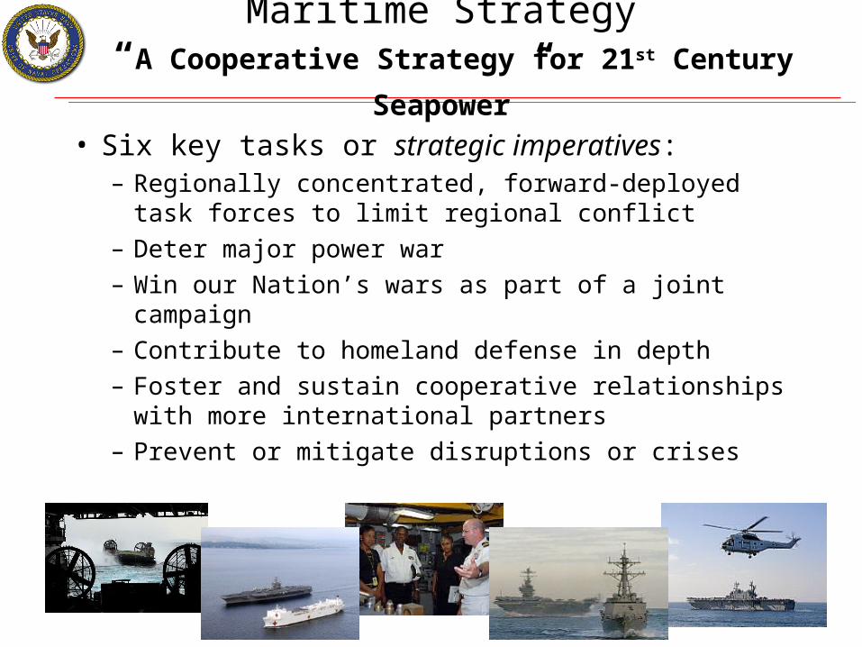
Maritime Strategy “A Cooperative Strategy for 21st Century Seapower”
• Six key tasks or strategic imperatives:– Regionally concentrated, forward-deployed task
forces to limit regional conflict– Deter major power war– Win our Nation’s wars as part of a joint campaign– Contribute to homeland defense in depth– Foster and sustain cooperative relationships with
more international partners– Prevent or mitigate disruptions or crises
4
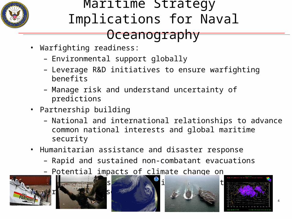
Maritime Strategy Implications for Naval Oceanography
• Warfighting readiness:– Environmental support globally– Leverage R&D initiatives to ensure warfighting benefits– Manage risk and understand uncertainty of predictions
• Partnership building– National and international relationships to advance common
national interests and global maritime security• Humanitarian assistance and disaster response
– Rapid and sustained non-combatant evacuations– Potential impacts of climate change on
natural disasters, social instability and regional crises
5
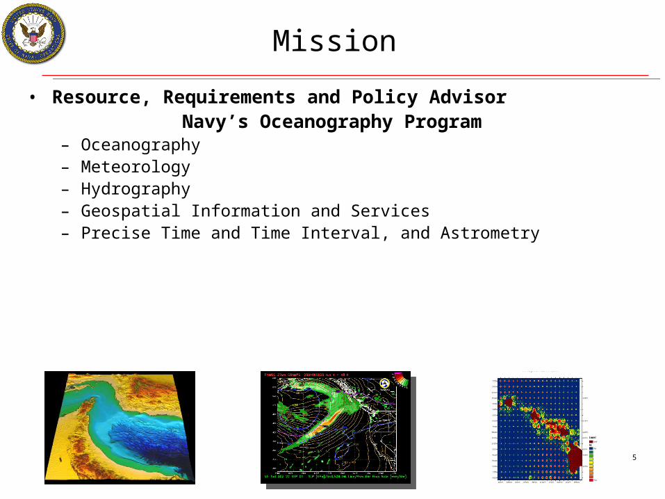
Mission
• Resource, Requirements and Policy Advisor Navy’s Oceanography Program
– Oceanography– Meteorology– Hydrography– Geospatial Information and Services– Precise Time and Time Interval, and Astrometry

6
Future Operational ViewBattlespace Sensing Fusion & Integration
REASPP
M2MTDAsTTs
COTPUSWDSS
REASPP
M2MTDAsTTs
COTPUSWDSS
Buoys/DriftersBuoys/Drifters
COMMSCOMMS Space METOCSensors
Space METOCSensors
GliderGliderUUVUUV
METMFMETMF
NAVONAVO
UAVUAV
DropsondesDropsondes
Bottom SensorsBottom Sensors
T-AGST-AGS
CSGCSG
TTSTTS
PUMAPUMA
FUSION:Reach Back Center
& Domain Authority
Data IngestQuality Control
ProcessingAssimilation
Nowcast ForecastDisseminationExpert Advice
FUSION:Reach Back Center
& Domain Authority
Data IngestQuality Control
ProcessingAssimilation
Nowcast ForecastDisseminationExpert Advice
COTPUSW DSS
COTPUSW DSS
ESGESG
TTSTTS
FNMOCFNMOC
REAREA
REAREA
7
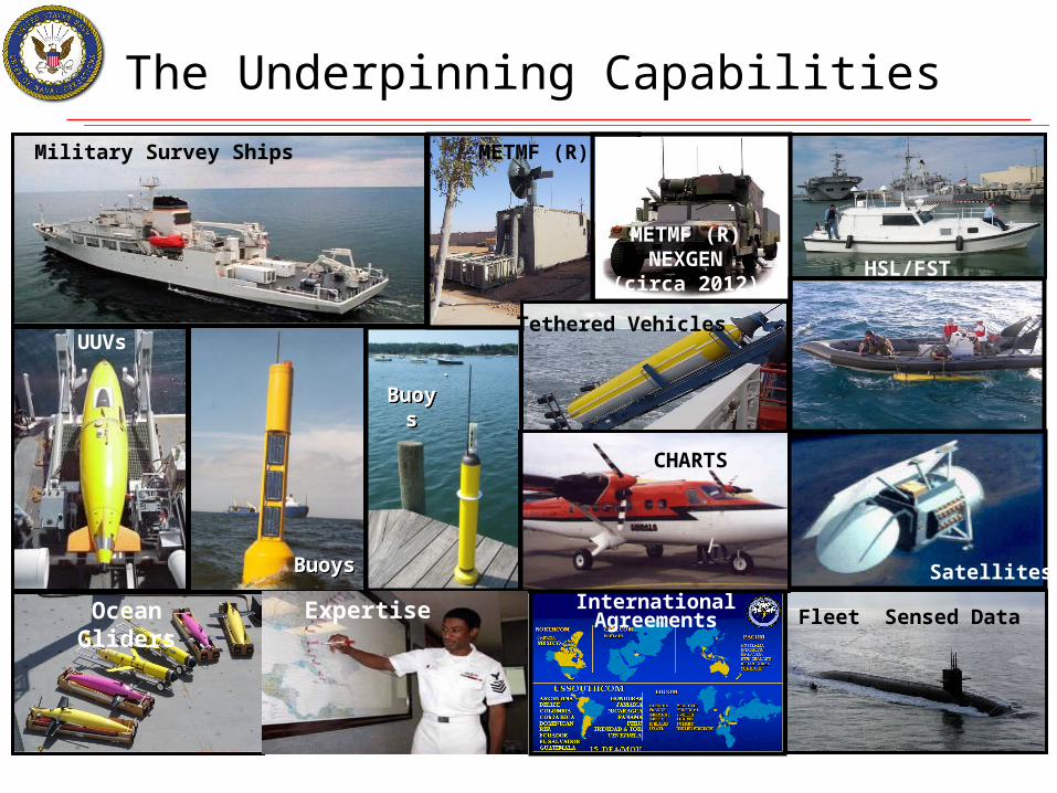
Fleet Sensed Data
Satellites
MSRC
BuoysBuoys
HSL/FST
Military Survey Ships
UUVs
Ocean Gliders
CHARTS
Buoys
Buoys
International Agreements
The Underpinning Capabilities
Tethered Vehicles
METMF (R)
METMF (R)NEXGEN
(circa 2012)
Expertise
8
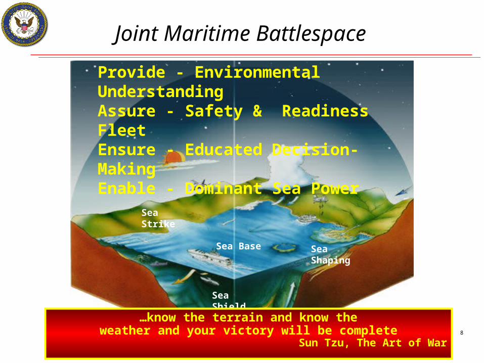
Sea Strike
Sea Shield
Sea Base
Joint Maritime Battlespace
Provide - Environmental UnderstandingAssure - Safety & Readiness FleetEnsure - Educated Decision-MakingEnable - Dominant Sea Power
Sea Shaping
…know the terrain and know theweather and your victory will be complete
Sun Tzu, The Art of War

9
Summary
• Focus Collaboration on the Navy’s Maritime Strategy• Fully Understand the Physical Environment [Hydro-Meteorology]
– Collection, Analysis, Prediction, and Exploitation – Synoptic- to Micro- Scale Level Worldwide
• Support Joint Military Operations; Coordinate effort; Promote interaction; and Expand cooperation between:– Other Services– Other Federal Agencies– International Partners

10
Points of Contact
Naval Oceanographic Office
Littoral & Riverine Operations Mr. Bruce Gomes Coastal Prediction [email protected] 228-688-4837
Acoustic Doppler Current Profilers (ADCP)Mr. Ken Grembowicz Marine Optics Division [email protected] 228-688-5675