1. Title: “How did the different regions of the United ...gcorbett/pdfs/Sattler_I_4.pdf · 1....
18
1. Title: “How did the different regions of the United States affect the lives of different Native American groups?” Grade Level: 4 th grade Estimated Time: Six lessons, 45-60 minutes each Rational and Overview: This unit will focus on different tribes of the Native American people and the different regions of the US in which they lived. I will teach this unit with the intent of teaching students about what parts of the US the Native Americans originally inhabited, where they originated and migrated to, and the amount of land they used to inhabit compared to where the white settlers eventually forced them in to. Through out this unit students will also learn about the cultures of different Native American tribes such as the Ojibwe, Navajo, and Cherokee. I think this unit is worth teaching because it brings up social justice issues such as what gives a certain group of people right to land over another. It introduces students to different cultures of Native Americans, there ways of life, and how they are different and similar to one another. It also broadens the students’ familiarity with different regions of the United States as well as the states that make up those regions. Standards Addressed: Culture : a. Explore and describe similarities and differences in the ways groups, societies, and cultures address similar human needs and concerns. c. Describe ways in which language, stories, folktales, music, and artistic creation serve as expressions of culture and influence behavior of people living in a particular culture. d. Compare ways in which people from different cultures think about and deal with their physical environment and social conditions. Time, Continuity, and Change: d. Identify and use various sources for reconstructing the past, such as documents, letters, diaries, maps, text books, photos, and others. People, Places, and Environments : a. Construct and use mental maps of locals, regions, and the world that demonstrates understanding of relative location, direction, size, and shape. b. Interpret, use, and distinguish various representations of the earth, such as maps, globes, and photographs. g. Describe how people create places that reflect ideas, personality, culture, and wants and needs as they design homes, playgrounds, classrooms, and the like. Overall Goals: The student will… • Identify the different regions of the US and the states which make them up (southeast, southwest, mid west, northeast). • Be able to tell which groups of Native Americans inhabited each region of the US.
Transcript of 1. Title: “How did the different regions of the United ...gcorbett/pdfs/Sattler_I_4.pdf · 1....
1. Title: “How did the different regions of the United States affect the lives of different Native American groups?” Grade Level: 4th grade Estimated Time: Six lessons, 45-60 minutes each Rational and Overview: This unit will focus on different tribes of the Native American people and the different regions of the US in which they lived. I will teach this unit with the intent of teaching students about what parts of the US the Native Americans originally inhabited, where they originated and migrated to, and the amount of land they used to inhabit compared to where the white settlers eventually forced them in to. Through out this unit students will also learn about the cultures of different Native American tribes such as the Ojibwe, Navajo, and Cherokee. I think this unit is worth teaching because it brings up social justice issues such as what gives a certain group of people right to land over another. It introduces students to different cultures of Native Americans, there ways of life, and how they are different and similar to one another. It also broadens the students’ familiarity with different regions of the United States as well as the states that make up those regions. Standards Addressed: Culture: a. Explore and describe similarities and differences in the ways groups, societies, and cultures address similar human needs and concerns. c. Describe ways in which language, stories, folktales, music, and artistic creation serve as expressions of culture and influence behavior of people living in a particular culture. d. Compare ways in which people from different cultures think about and deal with their physical environment and social conditions. Time, Continuity, and Change: d. Identify and use various sources for reconstructing the past, such as documents, letters, diaries, maps, text books, photos, and others. People, Places, and Environments: a. Construct and use mental maps of locals, regions, and the world that demonstrates understanding of relative location, direction, size, and shape. b. Interpret, use, and distinguish various representations of the earth, such as maps, globes, and photographs. g. Describe how people create places that reflect ideas, personality, culture, and wants and needs as they design homes, playgrounds, classrooms, and the like. Overall Goals: The student will…
• Identify the different regions of the US and the states which make them up (southeast, southwest, mid west, northeast).
• Be able to tell which groups of Native Americans inhabited each region of the US.
• Create a map with map key outlining different regions of the US. • Tell a story through creation of petroglyphs. • Create their own wigwam. • Complete a crossword puzzle of fact learned through out the unit. • Gain an understanding of the ways of life of various Native American cultures in
different regions of the US. Brain storming: I co-taught my social studies unit with another practicum student for Fon du Lac College. We got together and brainstormed amongst ourselves about what we wanted to cover in our unit. My cooperating teacher wanted me to do something with the states, my co-teaching partner brought up the idea of looking at the various regions of the US and which Native American tribes lived in each. I thought it would be nice to look at the areas these tribes used to inhabit compared to where they were pushed back to when the white setters came over. I also brought up the idea of discussing the Bearing Straight as a possible explanation of how the Native Americans got here in the first place. We decided it would be best for the students to complete a map of the regions of the US as a culminating activity. These maps would contain a student-made map key which showed which groups lived in which regions. Also, my cooperating teacher is not big on art, so we wanted to get some kind of creative art project for the students to do. We both liked the idea of creating a model of some kind of Native American dwelling so we chose to make wigwams. My partner also came up with the idea to make “petroglyphs” painted on brown paper bags. (Even though I’m calling the student’s completed map our culminating activity, we had to end the unit with a written test because my cooperating teacher wanted “something tangible to show what the students really know”.) 2. Specific Objectives: The Students Will…
• Outline different regions of their US maps and label each region. • Identify the discussed Native American tribe that lived in each region. • Create a color-coordinated map key identifying the region of the US and the
tribe which inhabited it. • Record four relevant facts about each Native American tribe learned. • Tell a story through a petroglyph illustration. • Create a wigwam model. • Complete a crossword puzzle on learned Native American facts. • Complete a 20 point quiz on the unit.
3. Inquiry or Focus Questions:
• Why was The Trail of Tears significant to the Cherokee people? • What unique forms of communication did the Navajo and other tribes of the
southwest use to record and tell stories? • Why was the teepee useful to the Lakota and their lifestyle?
• In terms of government, what was it about the Iroquois that the US government is believed to have modeled?
4. List of Resources: Books: Atlas of Great Lakes Indian History, Helen Hornbeck Tanner Columbia Guide to American Indians of the Great Plains, Loretta Fowler Concise Encyclopedia of the American Indians, Bruce Grant Indian Reservations: A State and Federal Handbook Guide to Native American Ledgers, Drawings, and Pictographs, John R. Lovett Jr. and Donald D. DeWett Regions 4th grade text Raven by Gerald McDermott Legend of the Ladyslipper by Lisa Lunge-Larson Internet Sites: Cherokee history/historical maps http://www.cherokeehistory.com/map1.html Petroglyphs and Rock Paintings http://my.execpc.com/~jcampbel/ 5. Student Assessment Plan:
• In preparation for the written test, students will get a crossword puzzle that will test their knowledge on important facts learned throughout the unit. This will be passes out on Thursday and turned in Friday before the test.
(Crossword puzzle sent as an attachment) • Our culminating activity is the completed US map that was worked on through
out the unit highlighting the regions of the US, the Native American tribes that inhabited those regions, a color coordinated map key, and four key facts written about each Native American tribe.
(Map example and rubric for culminating activity sent as an attachment) • 20 point written assessment on topics covered through out the unit (per my
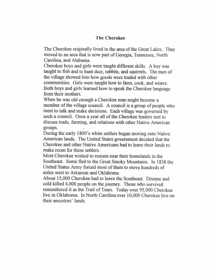
cooperating teacher. This is also sent as an attachment). 6. Lesson Plans: Lesson One: Learning Area: Social Studies Grade: 4th Time: 45 minutes Lesson Title: The Cherokee (Lesson 1) Objectives: The student will be able to…
• Discuss about the information covered on the Cherokee people. • Gain an understanding of the Trail of Tears and some of the issues surrounding it. • Identify the regions of the US that the Cherokee originated from and moved to.
• Identify and outline the southeast region of the US. • Create a map key that links the Cherokee to the southeast.
Materials:
• Cherokee handout (see attachment) • US map (individual) • US map (classroom) • Colored pencils
Procedures:
1. Students read aloud and discuss the Cherokee people (where they originated from, their migration to the southeast US, important elements in their daily lives, interactions w/ European settlers).
2. Teacher points out the southeast region of the US on the map, showing all the states that make it up.
3. Lecture/discussion on the Trail of Tears, what caused it, how did it affect the Native American people, in what ways did the European settlers contribute to the decrease in Native American population.
4. Hand out individual student maps and rubric showing students what is expected in an exemplary map.
5. Students outline the southwest region on their individual maps. Using colored pencils, crayons, or markers, add to their map key the Navajo tribe and the areas they inhabited.
Assessment: Students will be assessed on their accuracy in outlining the southeast region of the US correctly on their individual maps. Lesson Two: Learning Area: Social Studies Grade: 4th Time: 60 minutes Lesson Title: Petroglyphs (SS lesson 2) Objectives: The student will be able to…
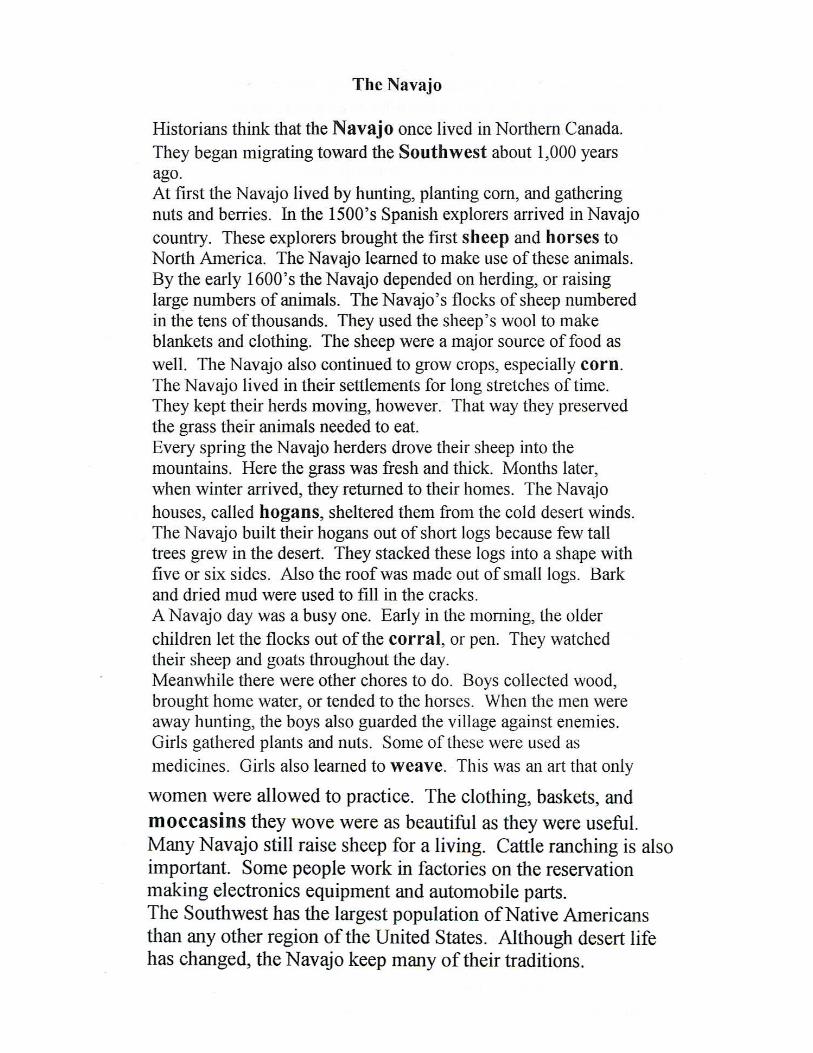
• Outline the region in which the Navajo lived on their map of the US. • Identify buildings and materials that were important to the Navajo way of life (ex:
animal herding, hogans). • Identify other Native American tribes that lived in the southwest region of the US. • Explain what a petroglyph is. • Create their own petroglyph. • Tell a story through their petroglyphs.
Materials:
• Navajo information handout (see attachment) • US map of Native American regions • Crayons/colored pencils • Tempera paints (brown, red, yellow, white) • Paint brushes • Plastic cups • Paper towels • Newspaper • Visual aides of petroglyphs (photographs and photocopies, see handout) • Brown paper bag
Procedures: 1. Students read aloud and discuss the Navajo people (where they originated from,
their migration to the southwest US, important elements in their daily lives, interactions w/ European settlers).
2. Teacher points out the southwest region of the US on the map, showing all the states that make it up.
3. Students outline the southwest region on their individual maps and add to their map key the Navajo tribe and the areas they inhabited.
4. Students are introduced to petroglyphs, show visual aids, photographs, and photocopies.
5. Discuss where they were written and what they stood for. 6. Students are given directions on how to create their own petroglyphs. 7. Distribute materials
a. News paper b. Paint c. Paint brushes d. Brown paper bag (“animal hide”)
8. Students create their own petyroglyphs which tell a story about anything they like. 9. Students share their completed petroglyphs with the class and explain their story
behind them. Assessment: Students are assessed based on their effort in creating their petroglyphs and on their accuracy in outlining the southwest region and the Navajo lands on their individual maps. Lesson Three: Learning Area: Social Studies Grade: 4th Time: 45 minutes Lesson Title: The Plains Indians (SS lesson 3) Objectives: The student will be able to…
• Identify the Mid West region of the United States.
• Create a map key on their individual US maps which shows that areas inhabited by the Lakota and Ojibwe people.
• Know the different uses of the buffalo by the Lakota people. • Know why the teepee was used as a home for the Lakota. • Explain a tradition in their family (Ojibwe, oral tradition).
Materials:
• Plain’s/Woodland handout (see attachment) • US map (individual) • US map (classroom) • Crayons, colored pencils, markers • Raven by Gerald McDermott
Procedures:
1. Students read aloud and discuss the Plain’s people (reliance on oral tradition of the Ojibwe people, importance of the buffalo in the Lakota tribe).
2. Students volunteer to share (orally) a tradition shared in their family. 3. Teacher points out the Mid West region of the US on the map, showing all the
states that make it up. 4. Students outline the Mid West region on their individual maps and add to their
map key the Lakota and Ojibwe tribes and the areas they inhabited. 5. Read aloud the book Raven.
Assessment: Students are assessed on their accuracy in outlining the Mid West region and the Lakota and Ojibwe lands on their individual maps. Lesson Four: Learning Area: Social Studies Grade: 4th Time: 60 minutes Lesson Title: Creating the Wigwam (lesson 4) Objectives: The student will be able to…
• Identify the type of dwellings used by the Ojibwe people. • Explain the materials used to create a wigwam. • Create a wigwam model out of provided materials. • Work cooperatively in groups.
Materials:
• The Legend of the Lady Slipper by Lisa Lunge-Larson
• Foam board (5x5) • String • Wigwam sticks • Push pin • Scissors • Pencil
Procedure:
1. Review oral tradition of the Ojibwe people from previous class. 2. Read The Legend of the Lady Slipper by Lisa Lunge-Larson. 3. Discuss the wigwam, Ojibwe dwelling. 4. Break students into groups. Explain to them that their group is an Ojibwe family
that will be building their own wigwam. 5. Show example of wigwam model and note its shape (half-circle, touches on
geometry!) 6. Demonstration on how to construct the wigwam. 7. Pass out one foam board piece to each group, have students write their names on
the back of their piece. 8. Have students decide on tasks for each member to perform. Who will gather, who
will be the architect, who will build… 9. Have gatherers bring all needed materials to their families. 10. Students work together in creating their wigwam.
Assessment: Informal teacher observation. Lesson Five: Learning Area: Social Studies Grade: 4th Time: 45 minutes Lesson Title: The Iroquois (lesson 5) Objectives: The student will be able to…
• Identify and outline the northeast region of the US on student maps. • Create a map key showing Iroquois lands within the northeast region. • Explain what a confederacy is. • Discuss the different natural resources of the northeast.
Materials:
• Iroquois handout (see attachment) • US map (individual) • US map (classroom) • Crayons, markers, colored pencil

• Crossword puzzle Procedure:
1. As a class, read and discuss information on the Iroquois of the northeast region. 2. Discuss the idea of a confederacy, what does the US and the Iroquois people have
in common. 3. Point out the northeast region of the US on the map. 4. Students outline northwest region on their individual maps and create a map key
for the Iroquois lands. 5. Students write FOUR key facts they have learned about the various Native
American tribes through out the unit next to their map key. 6. Students turn in their completed US regions map. 7. HOMEWORK: Cross word puzzle of facts learned in the unit. Study guide for
next day’s test. (Note: If students wish, they may take home their regions maps to complete it for next time.)
NOTE: Students will turn in their completed cross word puzzle next class as well as their completed map if they chose to take it home to work on it. 20 pt test given on the unit covering the different Native American tribes, the region of the US they lived in, and other facts discussed in the unit. Assessment: Students are assessed based on the 20 point test given at the end of the unit (attached) as well as the rubric for their US map (attached).

Map Directions
Each day we will work on our map of the United States. We will be tracing the five regions of the United States. Within those five regions we will be coloring in the areas where the five Native American groups presently live. Along with coloring and labeling you will have to create a map key explaining what each color on your map represents.
_____________________________________________________________
Monday
*Using the color blue, color in the five Great Lakes and label the two oceans (Atlantic and Pacific) on your map
*Outline the five areas on the United States map using five different colors. Please label all five areas. They are found on page 61.
*Southeast
*Southwest
*West
*Middle West
*Northeast
*Draw and color in the Cherokee present day land borders using a different color found on page 104
Tuesday
*Look at page 308 in the social studies book
*Find the present day borders for the Navajo lands
*Using a color you have not used before draw in the Navajo present day land borders. Using the same color, color in the area of the present day Navajo lands
Wednesday
*Look at page 255 in the social studies book
*Find the present day borders for the Plains peoples
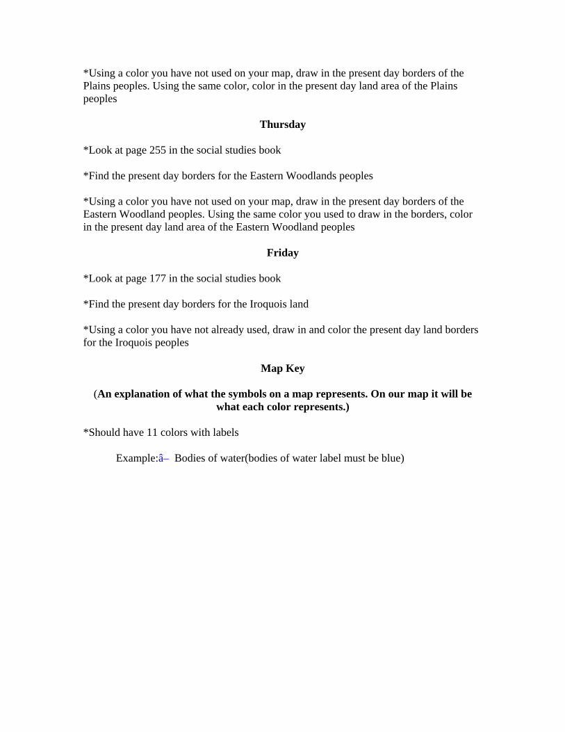
*Using a color you have not used on your map, draw in the present day borders of the Plains peoples. Using the same color, color in the present day land area of the Plains peoples
Thursday
*Look at page 255 in the social studies book
*Find the present day borders for the Eastern Woodlands peoples
*Using a color you have not used on your map, draw in the present day borders of the Eastern Woodland peoples. Using the same color you used to draw in the borders, color in the present day land area of the Eastern Woodland peoples
Friday
*Look at page 177 in the social studies book
*Find the present day borders for the Iroquois land
*Using a color you have not already used, draw in and color the present day land borders for the Iroquois peoples
Map Key
(An explanation of what the symbols on a map represents. On our map it will be what each color represents.)
*Should have 11 colors with labels
Example:â– Bodies of water(bodies of water label must be blue)
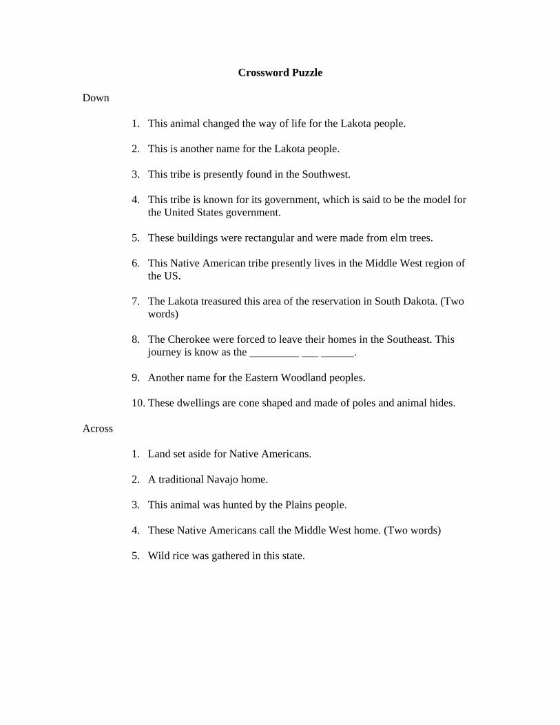
Crossword Puzzle
Down
1. This animal changed the way of life for the Lakota people.
2. This is another name for the Lakota people.
3. This tribe is presently found in the Southwest.
4. This tribe is known for its government, which is said to be the model for the United States government.
5. These buildings were rectangular and were made from elm trees.
6. This Native American tribe presently lives in the Middle West region of the US.
7. The Lakota treasured this area of the reservation in South Dakota. (Two words)
8. The Cherokee were forced to leave their homes in the Southeast. This journey is know as the _________ ___ ______.
9. Another name for the Eastern Woodland peoples.
10. These dwellings are cone shaped and made of poles and animal hides.
Across
1. Land set aside for Native Americans.
2. A traditional Navajo home.
3. This animal was hunted by the Plains people.
4. These Native Americans call the Middle West home. (Two words)
5. Wild rice was gathered in this state.
1. Some people believe that Native Americans first arrived in America by crossing the ___________ ___________ between Russia and Alaska.
a. Trail of Tears b. Mississippi River c. Bearing Straight d. Sattler River
2. The Cherokee made their home in the southeast region of the U.S. after originally
coming from the __________ ____________ region. a. Great Lakes b. Plains c. European d. East Coast
3. The Cherokee people were pushed west by white settlers where they eventually
made their homes in areas such as Arkansas and Oklahoma. This journey by the Cherokee people was called:
a. The Migration b. The Gold Rush c. The Wagon Train d. The Trail of Tears
4. A Cherokee man might become a member of a village __________ where
members meet to make decisions. a. Party b. Council c. Gathering d. Classroom
5. What was one reason for the decrease in Native American population?
a. They started to run out of food. b. It got too cold. c. Settlers brought over new diseases. d. The bow and arrow
6. The Navajo people settled in the southwest region of the US after originally
coming from: a. Europe b. Africa c. The northeast d. Canada
7. The Navajo homes were made out of short logs and mud. These homes were
called: a. Hogans b. Petroglyphs

c. Corals d. Tents
8. The Navajo depended a lot on ________________ for their way of life.
a. Animals b. Snow c. The European Settlers d. The Deserts
9. This was the name of the drawings found by the people of the southwest:
a. Carvings b. Sketches c. Petroglyphs d. Paintings
10. These drawings were found on______________________
a. The sides of rocks and mountains b. Paper c. Wood walls d. Their horses
11. This is another name for the Lakota.
a. Ojibwe b. Navajo c. Cherokee d. Sioux
12. Wild rice was gathered in this state.
a. Georgia b. New Mexico c. Minnesota d. North Dakota
13. The Ojibwe used this material to make canoes.
a. Mud b. Birch bark c. Trees d. Deer hides
14. The Trail of Tears refers to which Native Americans’ unwanted journey leaving
their homelands. a. Navajo b. Cherokee c. Lakota d. Iroquois

15. This dwelling is cone shaped and made of poles and animal hides. a. Hogan b. Longhouse c. Huts d. Teepee
16. Land which is set aside for native Americans is called a
a. Reservation b. Homeland c. USA d. Native American land
17. This animal changed the way of life for the Lakota.
a. Buffalo b. Horse c. Cow d. Dog
18. This area of the reservation was treasured by the Lakota.
a. Great Plains b. Black Hills c. Rocky Mountains d. Great Lakes
19. We used this color to label the great lakes on our maps.
a. Red b. Purple c. Black d. Blue
20. Which group of Native Americans did you find most interesting?
_________________________________________________