© K. Fedra 2003 1 GIS 2003 Kurt Fedra, Dr.phil., Dr.sci. 1952, Vienna Environmental Software &...
30
© K. Fedra 2003 1 GIS 2003 GIS 2003 Kurt Fedra, Dr.phil., Dr.sci. 1952, Vienna Environmental Software & Services P.O. Box 100 A-2352 Gumpoldskirchen AUSTRIA tel: +43 2252 63305 fax: +43 2252 633059 [email protected] http://www.ess.co.at
-
date post
21-Dec-2015 -
Category
Documents
-
view
214 -
download
0
Transcript of © K. Fedra 2003 1 GIS 2003 Kurt Fedra, Dr.phil., Dr.sci. 1952, Vienna Environmental Software &...
© K. Fedra 2003
1
GIS 2003GIS 2003GIS 2003GIS 2003
Kurt Fedra, Dr.phil., Dr.sci.
1952, Vienna
Environmental Software & Services
P.O. Box 100 A-2352Gumpoldskirchen AUSTRIAtel: +43 2252 63305fax: +43 2252 [email protected] http://www.ess.co.at
Kurt Fedra, Dr.phil., Dr.sci.
1952, Vienna
Environmental Software & Services
P.O. Box 100 A-2352Gumpoldskirchen AUSTRIAtel: +43 2252 63305fax: +43 2252 [email protected] http://www.ess.co.at
© K. Fedra 2003
2
GIS 2003GIS 2003GIS 2003GIS 2003The topic: Applied GIS
The basic question:
WHY, what for, only then: HOWPrimary application domain:
– Environmental management
The topic: Applied GIS
The basic question:
WHY, what for, only then: HOWPrimary application domain:
– Environmental management
© K. Fedra 2003
3
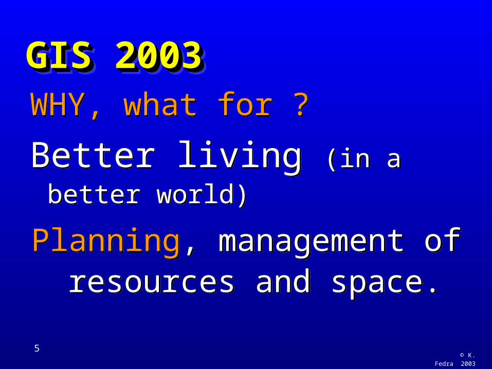
GIS 2003GIS 2003GIS 2003GIS 2003WHY, what for ?
Better living (in a better world)
Planning, management of resources and space.
WHY, what for ?
Better living (in a better world)
Planning, management of resources and space.
© K. Fedra 2003
4
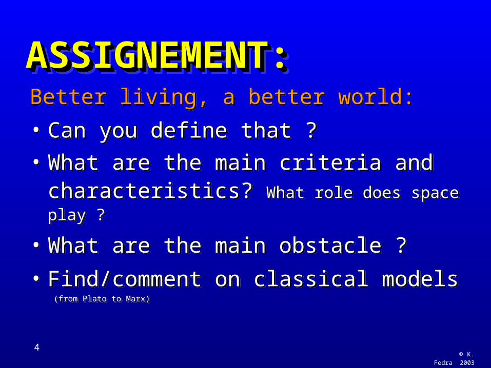
ASSIGNEMENT:ASSIGNEMENT:ASSIGNEMENT:ASSIGNEMENT:Better living, a better world:
• Can you define that ?
• What are the main criteria and characteristics? What role does space play ?
• What are the main obstacle ?
• Find/comment on classical models (from Plato to Marx)
Better living, a better world:
• Can you define that ?
• What are the main criteria and characteristics? What role does space play ?
• What are the main obstacle ?
• Find/comment on classical models (from Plato to Marx)
© K. Fedra 2003
5
GIS 2003GIS 2003GIS 2003GIS 2003WHY, what for ?
Better living (in a better world)
Planning, management of resources and space.
WHY, what for ?
Better living (in a better world)
Planning, management of resources and space.
© K. Fedra
2003
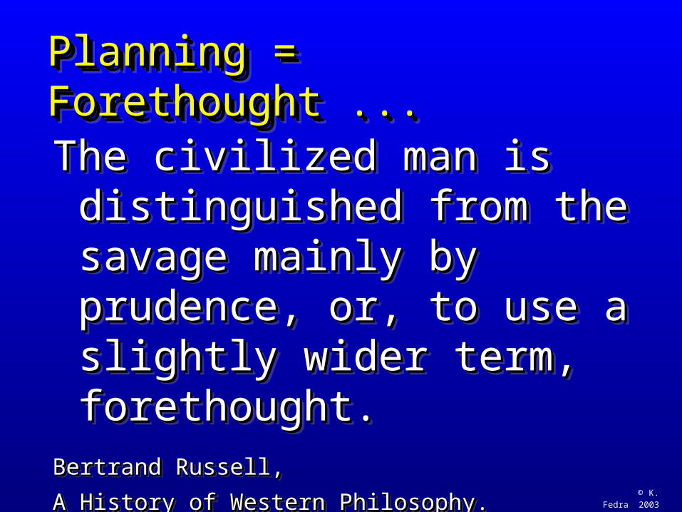
Planning = Forethought ...Planning = Forethought ...Planning = Forethought ...Planning = Forethought ...
The civilized man is The civilized man is distinguished from the savage distinguished from the savage mainly by prudence, or, to use mainly by prudence, or, to use a slightly wider term, a slightly wider term, forethought.forethought.
Bertrand Russell, Bertrand Russell,
A History of Western Philosophy.A History of Western Philosophy.
© K. Fedra 2003
7
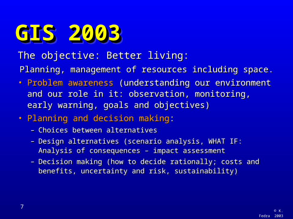
GIS 2003GIS 2003GIS 2003GIS 2003The objective: Better living:
Planning, management of resources including space.
• Problem awareness (understanding our environment and our role in it: observation, monitoring, early warning, goals and objectives)
• Planning and decision making:– Choices between alternatives
– Design alternatives (scenario analysis, WHAT IF: Analysis of consequences – impact assessment
– Decision making (how to decide rationally; costs and benefits, uncertainty and risk, sustainability)
The objective: Better living:Planning, management of resources including space.
• Problem awareness (understanding our environment and our role in it: observation, monitoring, early warning, goals and objectives)
• Planning and decision making:– Choices between alternatives
– Design alternatives (scenario analysis, WHAT IF: Analysis of consequences – impact assessment
– Decision making (how to decide rationally; costs and benefits, uncertainty and risk, sustainability)
© K. Fedra 2003
8
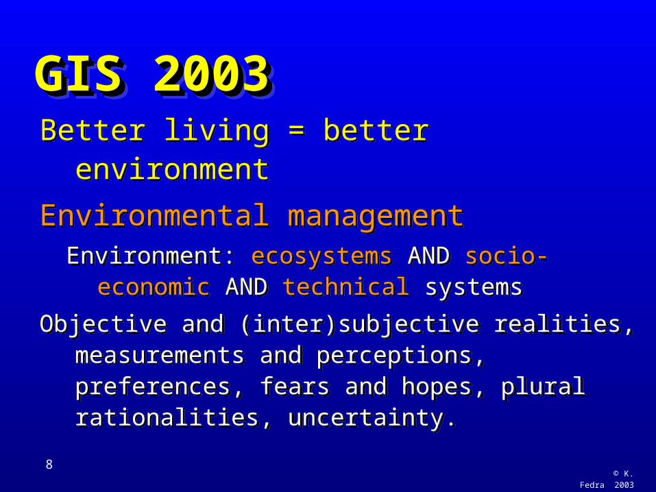
GIS 2003GIS 2003GIS 2003GIS 2003Better living = better environment
Environmental managementEnvironment: ecosystems AND socio-
economic AND technical systems
Objective and (inter)subjective realities, measurements and perceptions, preferences, fears and hopes, plural rationalities, uncertainty.
Better living = better environment
Environmental managementEnvironment: ecosystems AND socio-
economic AND technical systems
Objective and (inter)subjective realities, measurements and perceptions, preferences, fears and hopes, plural rationalities, uncertainty.
© K. Fedra 2003
9
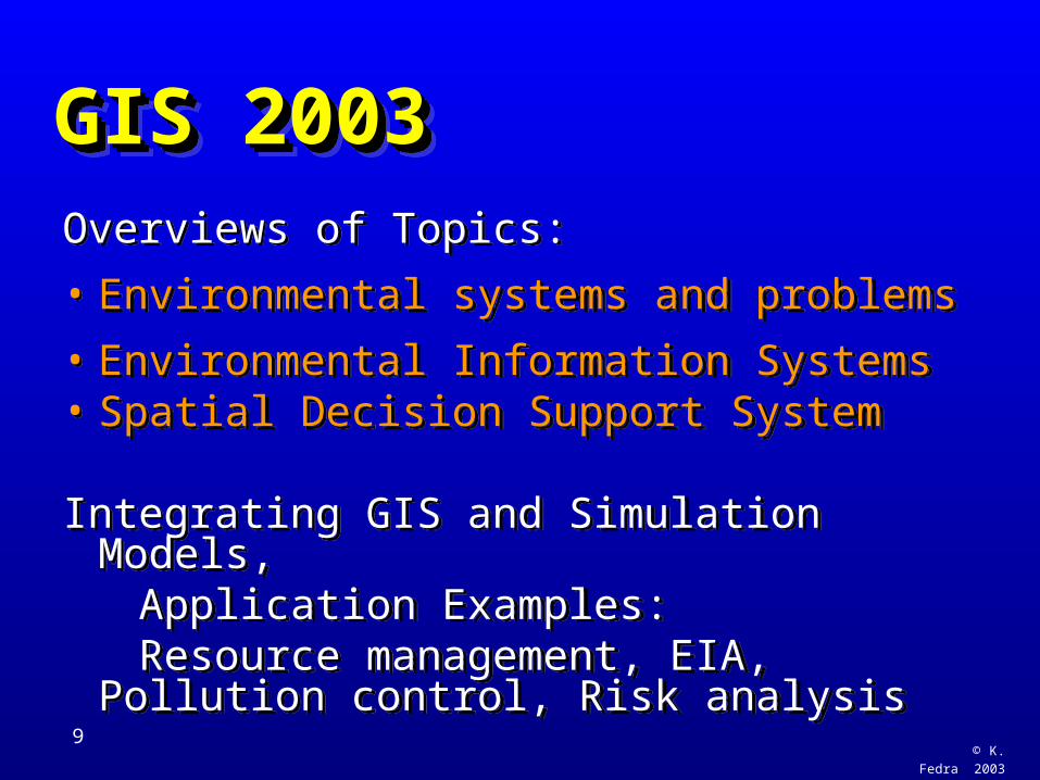
GIS 2003GIS 2003GIS 2003GIS 2003Overviews of Topics:
• Environmental systems and problems
• Environmental Information Systems• Spatial Decision Support System
Integrating GIS and Simulation Models, Application Examples: Resource management, EIA, Pollution
control, Risk analysis
Overviews of Topics:
• Environmental systems and problems
• Environmental Information Systems• Spatial Decision Support System
Integrating GIS and Simulation Models, Application Examples: Resource management, EIA, Pollution
control, Risk analysis
© K. Fedra 2003
10
Environmental Systems and ProblemsEnvironmental Systems and ProblemsEnvironmental Systems and ProblemsEnvironmental Systems and Problems
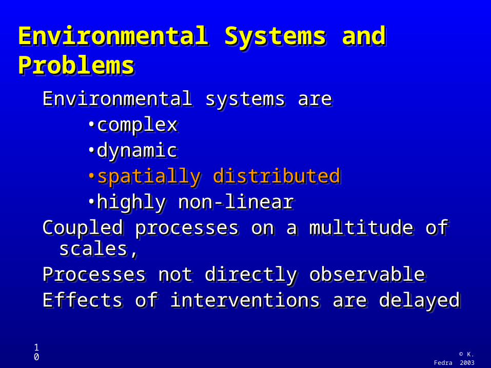
Environmental systems areEnvironmental systems are• complexcomplex• dynamicdynamic• spatially distributedspatially distributed• highly non-linearhighly non-linear
Coupled processes on a multitude of scales,Coupled processes on a multitude of scales,Processes not directly observableProcesses not directly observableEffects of interventions are delayedEffects of interventions are delayed
© K. Fedra 2003
11
Environmental Systems and ProblemsEnvironmental Systems and ProblemsEnvironmental Systems and ProblemsEnvironmental Systems and Problems
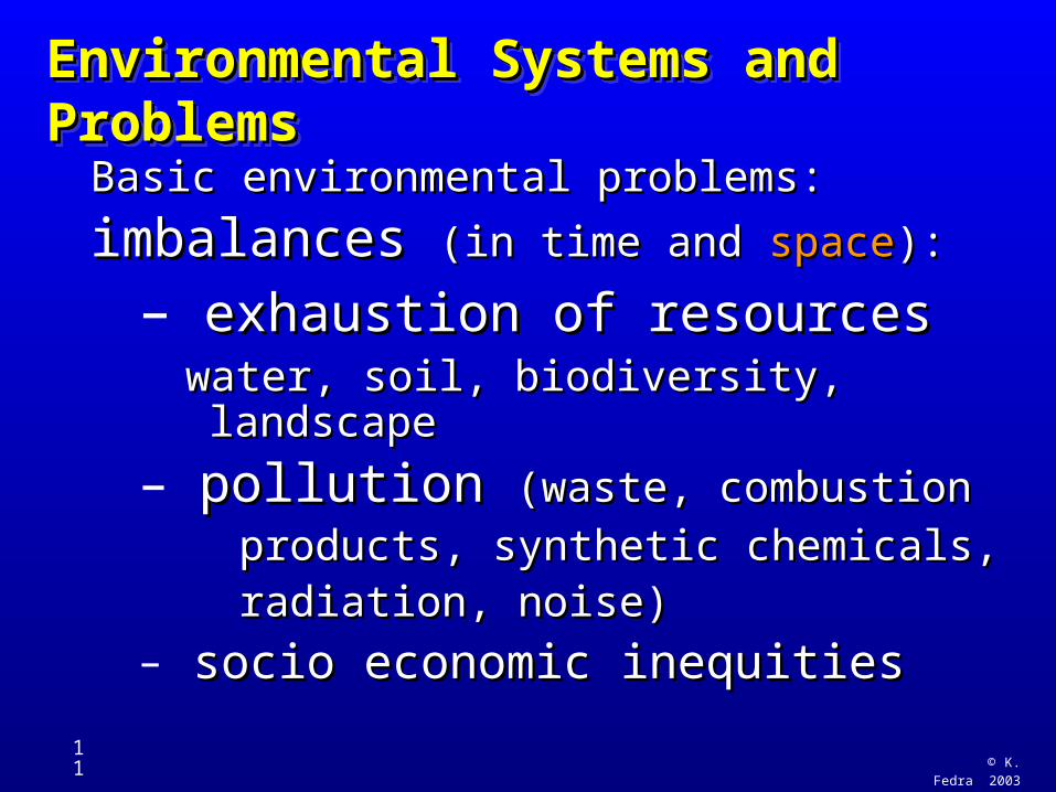
Basic environmental problems: Basic environmental problems:
imbalances imbalances (in time and (in time and spacespace):):
– exhaustion of resourcesexhaustion of resourceswater, soil, biodiversity, landscapewater, soil, biodiversity, landscape
– pollution pollution (waste, combustion(waste, combustion
products, synthetic chemicals,products, synthetic chemicals, radiation, noise)radiation, noise)– socio economic inequitiessocio economic inequities
© K. Fedra 2003
12
GIS 2003GIS 2003GIS 2003GIS 2003
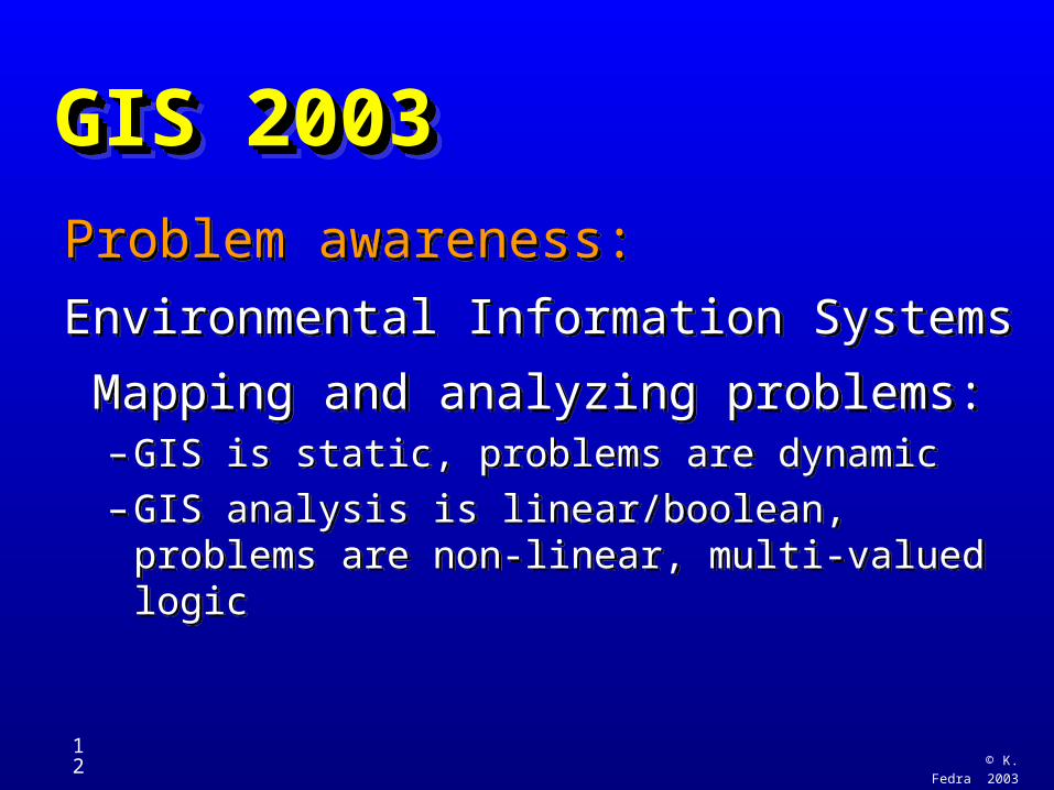
Problem awareness:
Environmental Information Systems
Mapping and analyzing problems:– GIS is static, problems are dynamic
– GIS analysis is linear/boolean, problems are non-linear, multi-valued logic
Problem awareness:
Environmental Information Systems
Mapping and analyzing problems:– GIS is static, problems are dynamic
– GIS analysis is linear/boolean, problems are non-linear, multi-valued logic
© K. Fedra 2003
13
GIS 2003GIS 2003GIS 2003GIS 2003
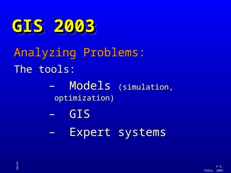
Analyzing Problems:
The tools:
– Models (simulation, optimization)
– GIS
– Expert systems
Analyzing Problems:
The tools:
– Models (simulation, optimization)
– GIS
– Expert systems
© K. Fedra 2003
14
GIS 2003GIS 2003GIS 2003GIS 2003
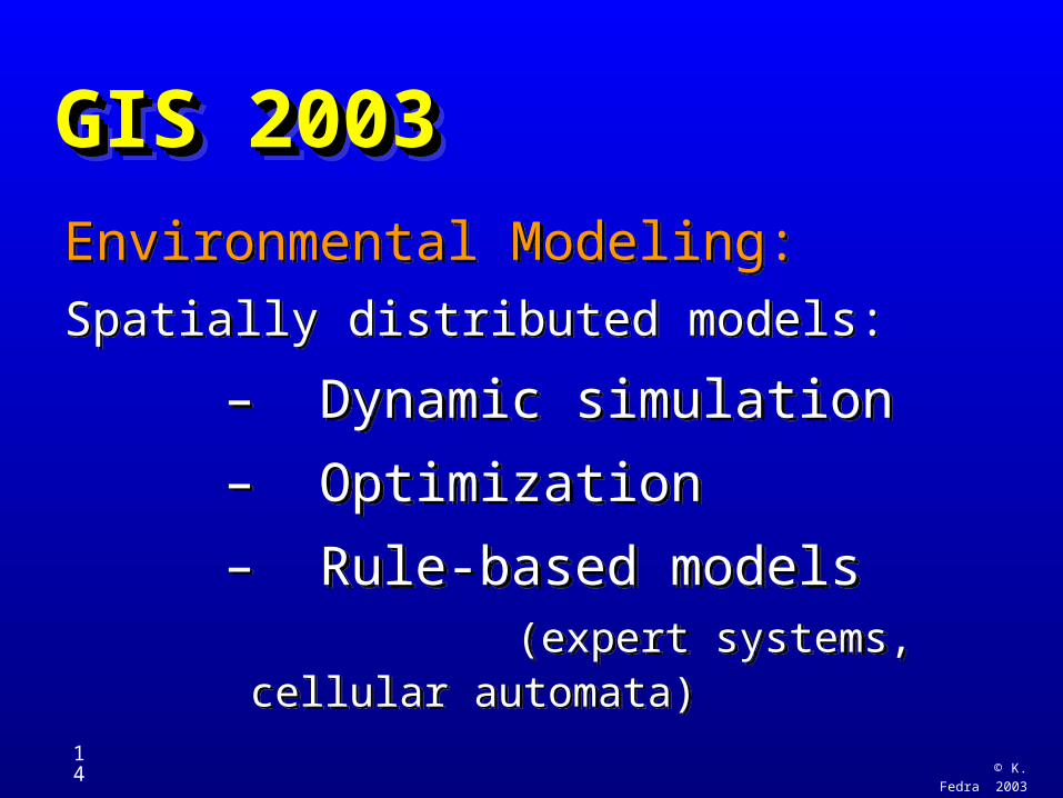
Environmental Modeling:
Spatially distributed models:
– Dynamic simulation
– Optimization
– Rule-based models (expert systems, cellular
automata)
Environmental Modeling:
Spatially distributed models:
– Dynamic simulation
– Optimization
– Rule-based models (expert systems, cellular
automata)
© K. Fedra 2003
15
GIS 2003GIS 2003GIS 2003GIS 2003
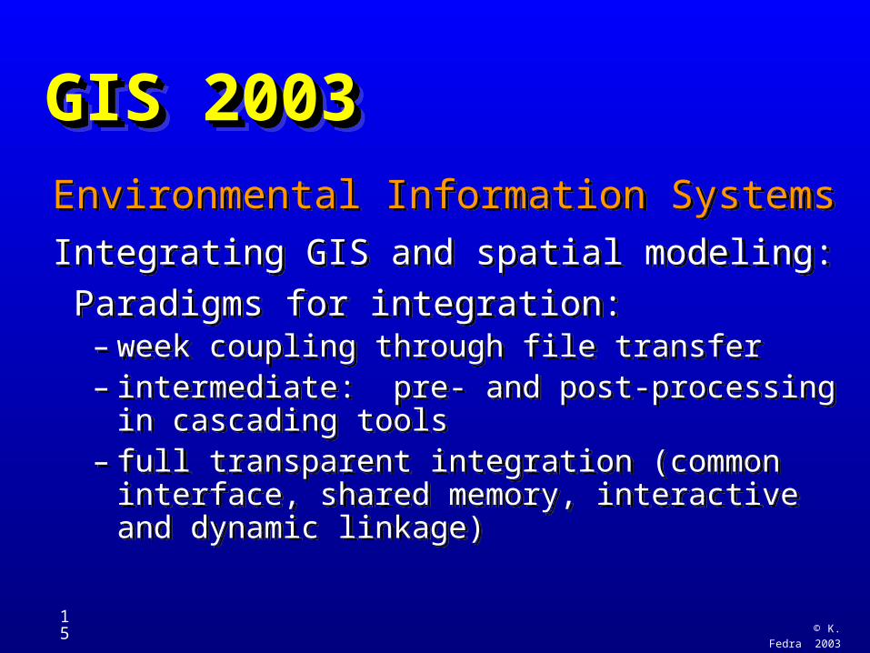
Environmental Information Systems
Integrating GIS and spatial modeling:
Paradigms for integration:– week coupling through file transfer – intermediate: pre- and post-processing in
cascading tools– full transparent integration (common interface,
shared memory, interactive and dynamic linkage)
Environmental Information Systems
Integrating GIS and spatial modeling:
Paradigms for integration:– week coupling through file transfer – intermediate: pre- and post-processing in
cascading tools– full transparent integration (common interface,
shared memory, interactive and dynamic linkage)
© K. Fedra 2003
16
GIS 2003GIS 2003GIS 2003GIS 2003
Environmental Information Systems
Examples of integrated systems:
http://www.ess.co.at/docs/gallery.html– Air quality
– Water resources
– Technological risk
Environmental Information Systems
Examples of integrated systems:
http://www.ess.co.at/docs/gallery.html– Air quality
– Water resources
– Technological risk
© K. Fedra 2003
17
GIS 2003GIS 2003GIS 2003GIS 2003
Overview of Topics:
• Environmental Information Systems Integrating GIS and Simulation Models, Expert Systems, Application Examples• Spatial Decision Support Systems
– DSS basics (spatial DSS: location, routing)
– EIA, Pollution Control, Risk Analysis
Overview of Topics:
• Environmental Information Systems Integrating GIS and Simulation Models, Expert Systems, Application Examples• Spatial Decision Support Systems
– DSS basics (spatial DSS: location, routing)
– EIA, Pollution Control, Risk Analysis
© K. Fedra 2003
18
GIS 2003GIS 2003GIS 2003GIS 2003Spatial Decision Support SystemsSpatial Decision Support Systems• DSS basics DSS basics (objectives, criteria, constraints)(objectives, criteria, constraints)• Issues of UncertaintyIssues of Uncertainty• MC: multi-criteria methodsMC: multi-criteria methods• Spatial/Environmental DSS topicsSpatial/Environmental DSS topics
– SoE: SoE: State of the EnvironmentState of the Environment reportingreporting– EIA: EIA: Environmental Impact AssessmentEnvironmental Impact Assessment– Risk Assessment and ManagementRisk Assessment and Management
Spatial Decision Support SystemsSpatial Decision Support Systems• DSS basics DSS basics (objectives, criteria, constraints)(objectives, criteria, constraints)• Issues of UncertaintyIssues of Uncertainty• MC: multi-criteria methodsMC: multi-criteria methods• Spatial/Environmental DSS topicsSpatial/Environmental DSS topics
– SoE: SoE: State of the EnvironmentState of the Environment reportingreporting– EIA: EIA: Environmental Impact AssessmentEnvironmental Impact Assessment– Risk Assessment and ManagementRisk Assessment and Management
© K. Fedra 2003
19
What is a DSS ?What is a DSS ?What is a DSS ?What is a DSS ?
• Attempts at definition
• Decision making processes
• A general DSS architecture
• Decision Support Paradigms
• Application examples (location of NIMBY facilities)
• Attempts at definition
• Decision making processes
• A general DSS architecture
• Decision Support Paradigms
• Application examples (location of NIMBY facilities)
© K. Fedra 2003
20
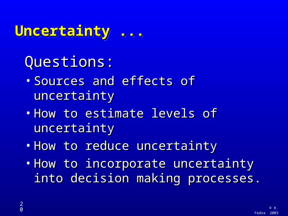
Uncertainty ...Uncertainty ...Uncertainty ...Uncertainty ...
Questions:Questions:• Sources and effects of uncertaintySources and effects of uncertainty
• How to estimate levels of How to estimate levels of uncertaintyuncertainty
• How to reduce uncertaintyHow to reduce uncertainty
• How to incorporate uncertainty into How to incorporate uncertainty into decision making processes.decision making processes.
© K. Fedra 2003
21
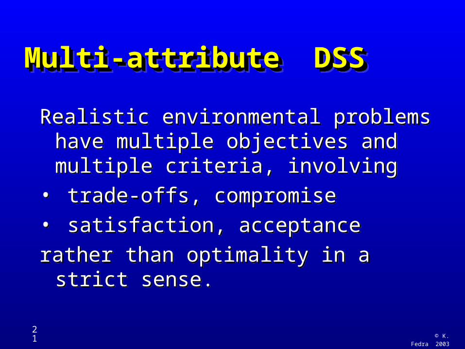
Multi-attribute DSS Multi-attribute DSS Multi-attribute DSS Multi-attribute DSS
Realistic environmental problems have multiple objectives and multiple criteria, involving
• trade-offs, compromise
• satisfaction, acceptance
rather than optimality in a strict sense.
Realistic environmental problems have multiple objectives and multiple criteria, involving
• trade-offs, compromise
• satisfaction, acceptance
rather than optimality in a strict sense.
© K. Fedra 2003
22
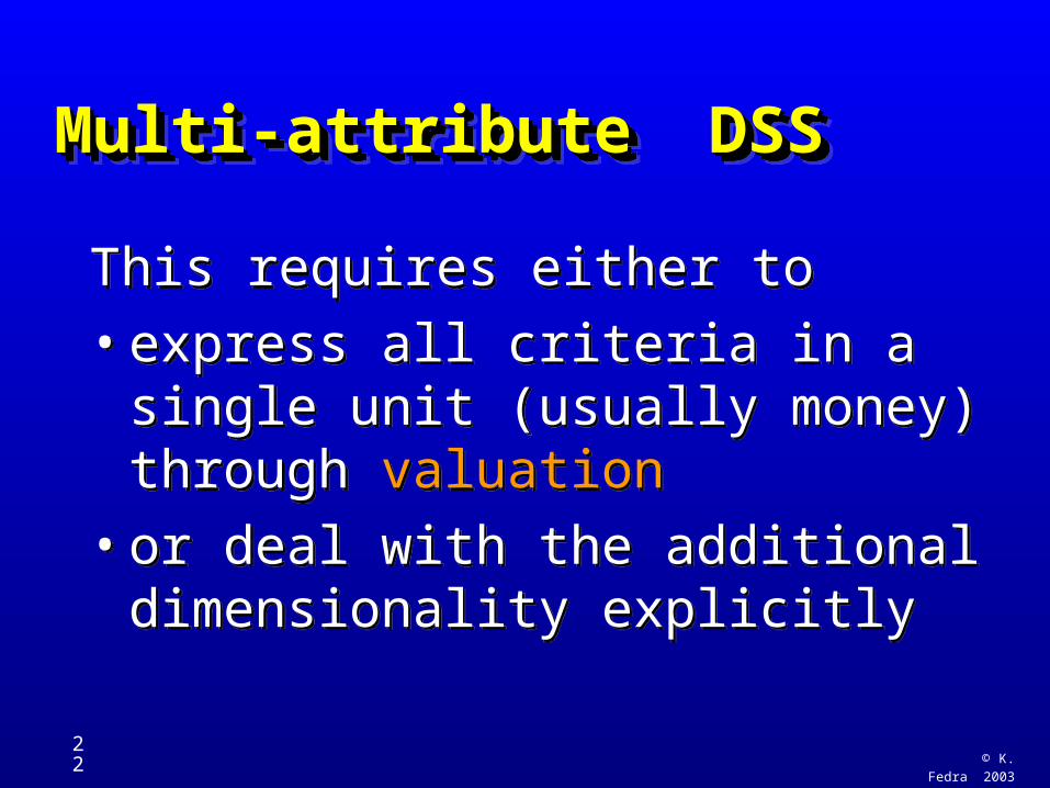
Multi-attribute DSS Multi-attribute DSS Multi-attribute DSS Multi-attribute DSS
This requires either to
• express all criteria in a single unit (usually money) through valuation
• or deal with the additional dimensionality explicitly
This requires either to
• express all criteria in a single unit (usually money) through valuation
• or deal with the additional dimensionality explicitly
© K. Fedra 2003
23
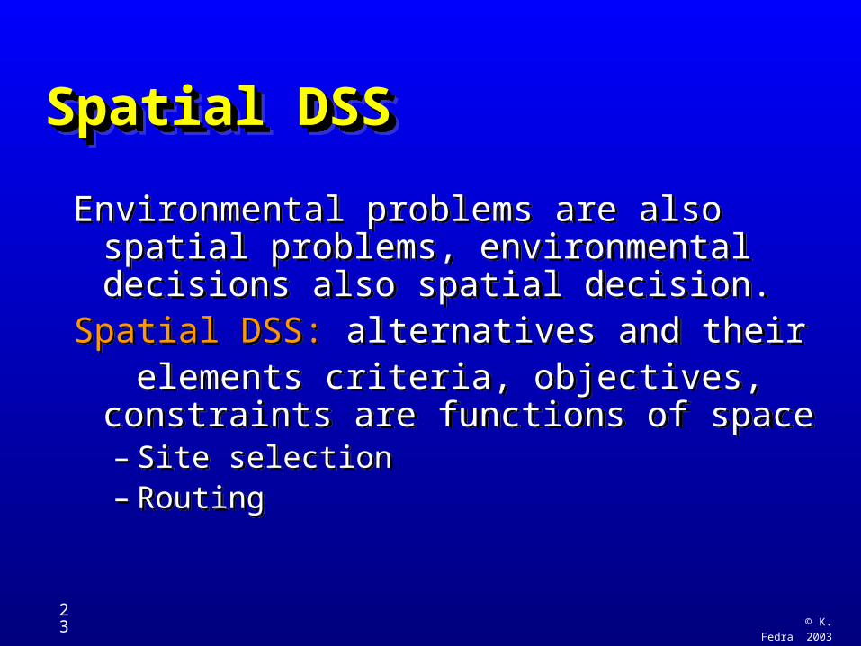
Spatial DSS Spatial DSS Spatial DSS Spatial DSS
Environmental problems are also spatial problems, environmental decisions also spatial decision.
Spatial DSS: alternatives and their elements criteria, objectives, constraints
are functions of space– Site selection– Routing
Environmental problems are also spatial problems, environmental decisions also spatial decision.
Spatial DSS: alternatives and their elements criteria, objectives, constraints
are functions of space– Site selection– Routing
© K. Fedra 2003
24
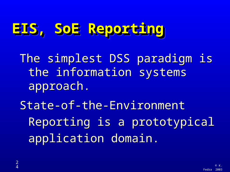
EIS, SoE Reporting EIS, SoE Reporting EIS, SoE Reporting EIS, SoE Reporting
The simplest DSS paradigm is the information systems approach.
State-of-the-Environment Reporting is
a prototypical application domain.
The simplest DSS paradigm is the information systems approach.
State-of-the-Environment Reporting is
a prototypical application domain.
© K. Fedra 2003
25
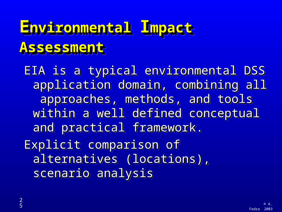
EEnvironmental nvironmental IImpact Assessmentmpact Assessment EEnvironmental nvironmental IImpact Assessmentmpact Assessment
EIA is a typical environmental DSS EIA is a typical environmental DSS application domain, combining all application domain, combining all approaches, methods, and tools approaches, methods, and tools within a well defined conceptual and within a well defined conceptual and practical framework.practical framework.
Explicit comparison of alternatives Explicit comparison of alternatives (locations), scenario analysis(locations), scenario analysis
© K. Fedra 2003
26
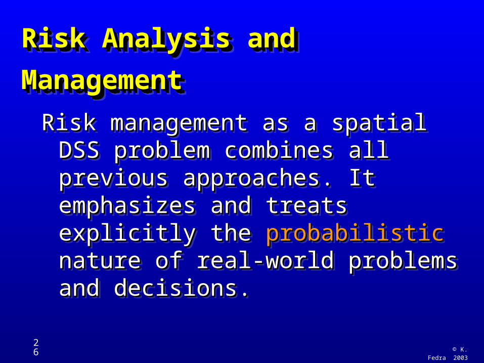
Risk Analysis and ManagementRisk Analysis and Management Risk Analysis and ManagementRisk Analysis and Management
Risk management as a spatial DSS Risk management as a spatial DSS problem combines all previous problem combines all previous approaches. It emphasizes and approaches. It emphasizes and treats explicitly the treats explicitly the probabilistic probabilistic nature of real-world problems and nature of real-world problems and decisions.decisions.
Risk management as a spatial DSS Risk management as a spatial DSS problem combines all previous problem combines all previous approaches. It emphasizes and approaches. It emphasizes and treats explicitly the treats explicitly the probabilistic probabilistic nature of real-world problems and nature of real-world problems and decisions.decisions.
© K. Fedra
2003
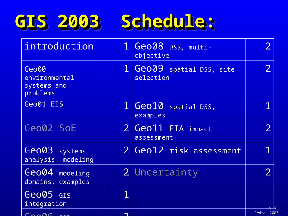
GIS 2003 Schedule: GIS 2003 Schedule: GIS 2003 Schedule: GIS 2003 Schedule: introduction 1 Geo08 DSS, multi-objective 2
Geo00 environmental systems and problems
1 Geo09 spatial DSS, site selection 2
Geo01 EIS 1 Geo10 spatial DSS, examples 1
Geo02 SoE 2 Geo11 EIA impact assessment 2
Geo03 systems analysis, modeling
2 Geo12 risk assessment 1
Geo04 modeling domains, examples
2 Uncertainty 2
Geo05 GIS integration 1
Geo06 OOD, ECOSIM, waterware RBO
2
Geo07 DSS intro 2 TOTAL: 24
© K. Fedra 2003
28
GIS 2003GIS 2003GIS 2003GIS 2003Student Questionnaire:• Name: (optional)
• Age (biological/academic):• Main field of study/work:• English comprehension:
– excellent, good, mediocre, poor
• Experience with:– computers: OS, applications, languages
– modeling, GIS: system(s), applications, techniques
Student Questionnaire:• Name: (optional)
• Age (biological/academic):• Main field of study/work:• English comprehension:
– excellent, good, mediocre, poor
• Experience with:– computers: OS, applications, languages
– modeling, GIS: system(s), applications, techniques
© K. Fedra 2003
29
GIS 2003GIS 2003GIS 2003GIS 2003
Student Questionnaire:• Why are you here ?• Where do you want to be, what do you
want to do in 10 years ?• What are our/humanities major
problems ?• What are you doing about it ?
Student Questionnaire:• Why are you here ?• Where do you want to be, what do you
want to do in 10 years ?• What are our/humanities major
problems ?• What are you doing about it ?
© K. Fedra 2003
30
GIS 2003GIS 2003GIS 2003GIS 2003
Web site:
http://www.ess.co.at/TEACHING/
user name: students password: GIS2003
Web site:
http://www.ess.co.at/TEACHING/
user name: students password: GIS2003


![Framework for Emulsion Data Reconstruction and Analysis In ... · FEDRA or with the independent tools • View header • Microtracks […] • Clusters […] • Frames […] •](https://static.fdocuments.us/doc/165x107/606df50be5973f3bd3173226/framework-for-emulsion-data-reconstruction-and-analysis-in-fedra-or-with-the.jpg)


